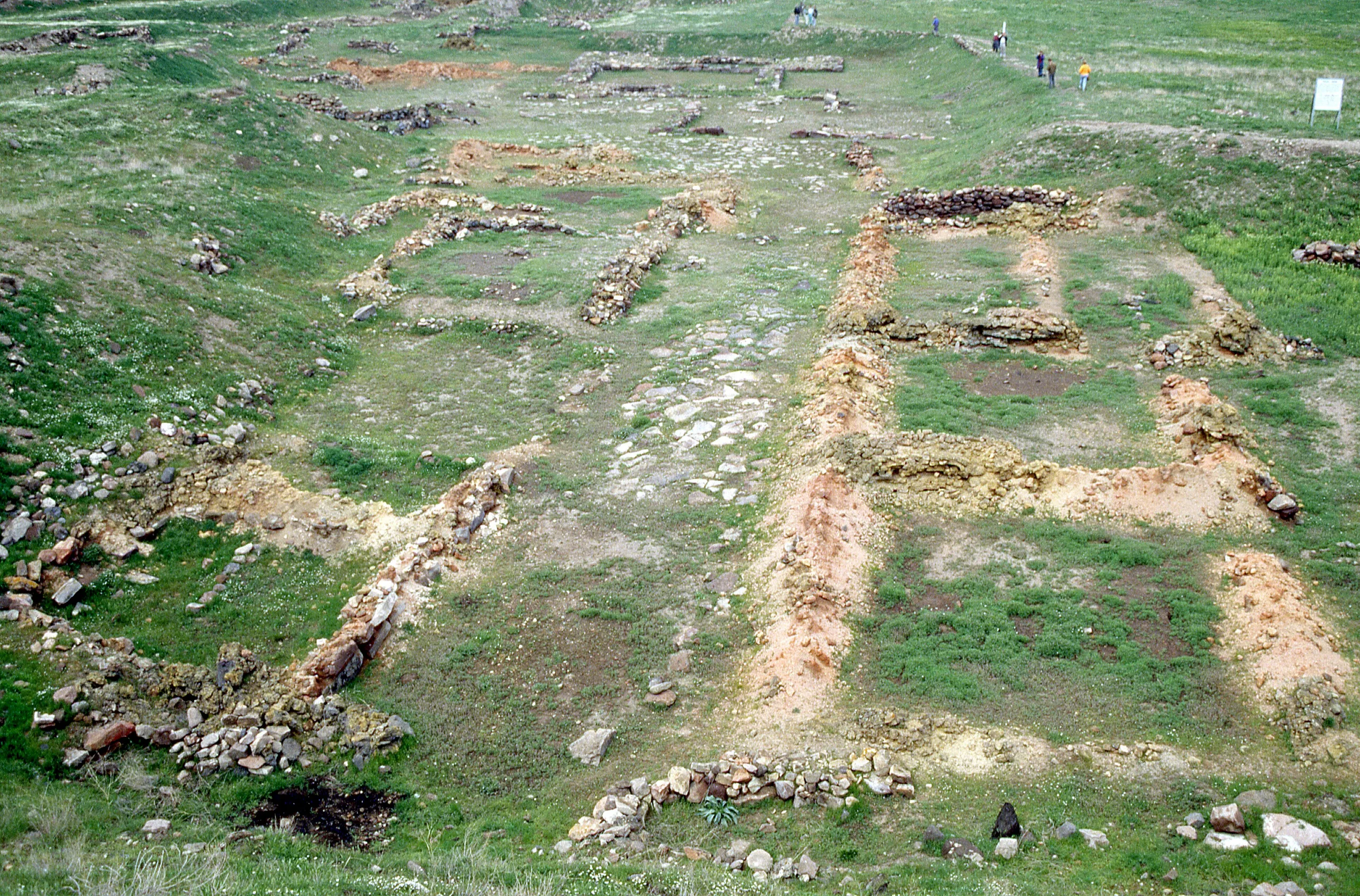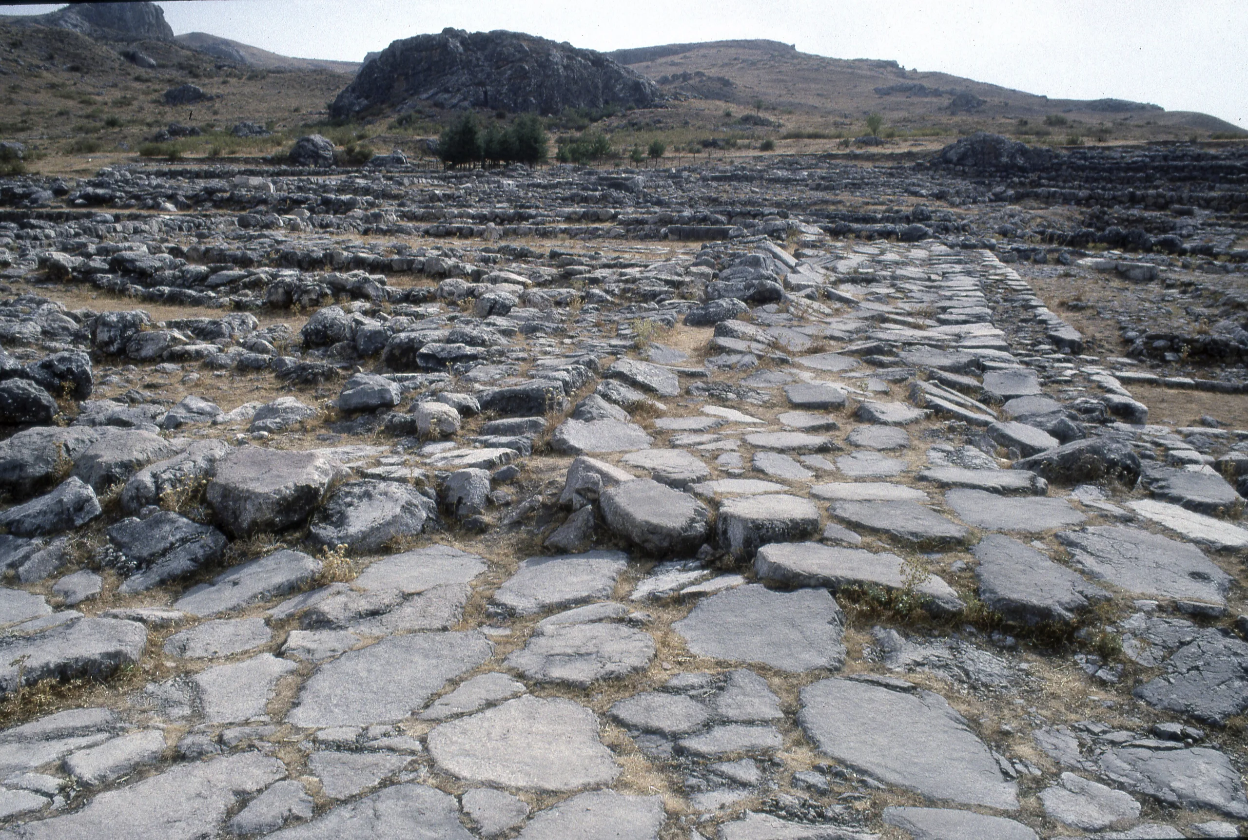
Hattusa near Çorum was the walled capital of the Hittite Empire: Lion Gate, Sphinx Gate, the Great Temple and the Yazılıkaya reliefs. A World Heritage Site since 1986.
Hattusa (Boğazköy) is an ancient city located in Turkey, Corum. Main periods: Hellenistic Period, Roman Period, Byzantine Period, Bronze Age. It was inscribed on the UNESCO World Heritage List in 1986.
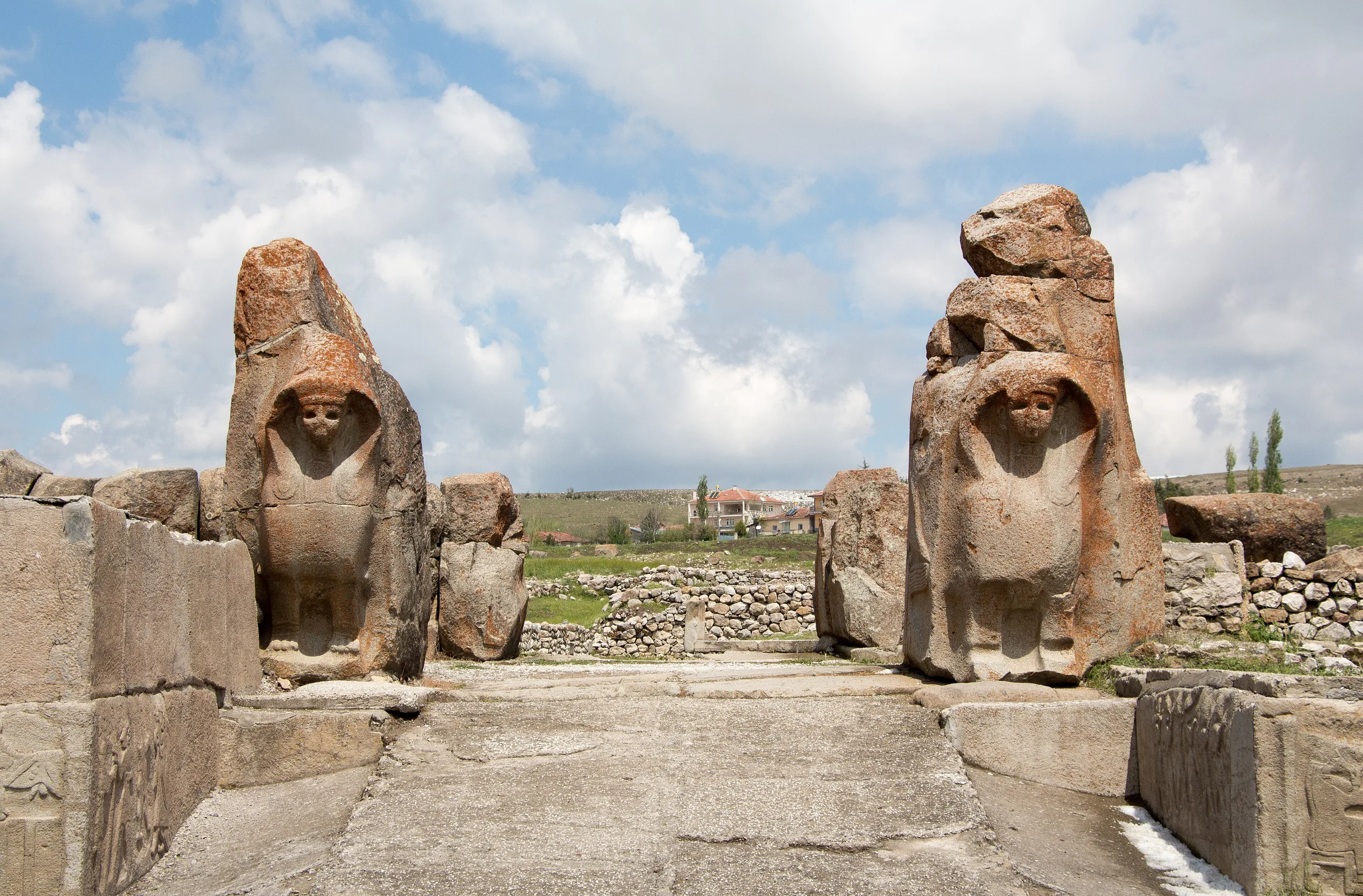
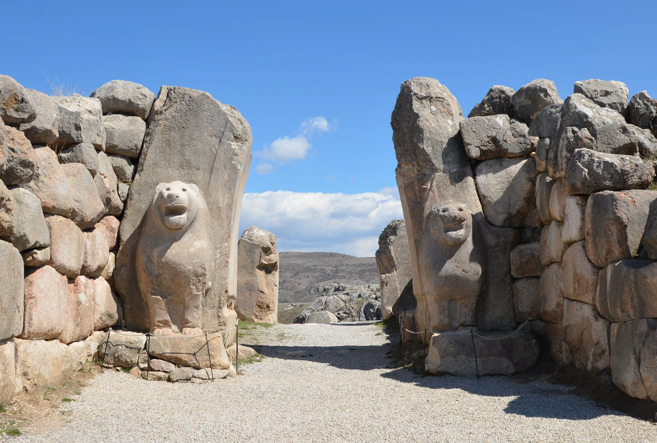
At the highest point of the Upper City stands the Sphinx Gate, one of five gateways along the walls of the Hittite capital; the same circuit carries more than a hundred towers, and the Lion Gate guards the south-west corner. Hattusa, in the Boğazkale district of Çorum, was the capital of the Hittite Empire, one of the strongest powers of Anatolia in the 2nd millennium BC. The site joined the UNESCO World Heritage List in 1986, and the cuneiform tablet archives found here have been in the Memory of the World register since 2001. Visitors see the Lower and Upper Cities, the monumental gates, walls and temples, and the rock sanctuary of Yazılıkaya 2 km to the north-east.
Setting
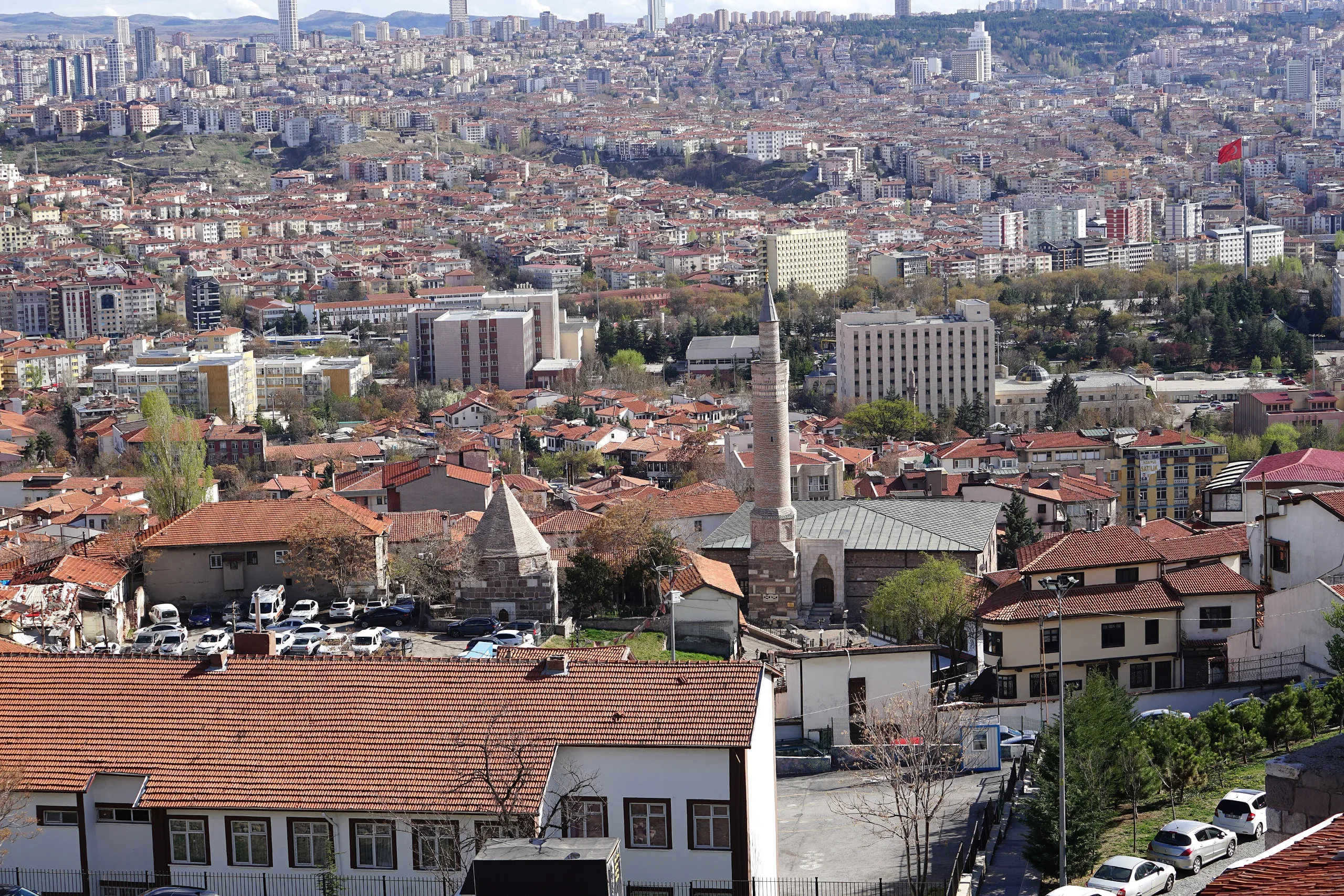
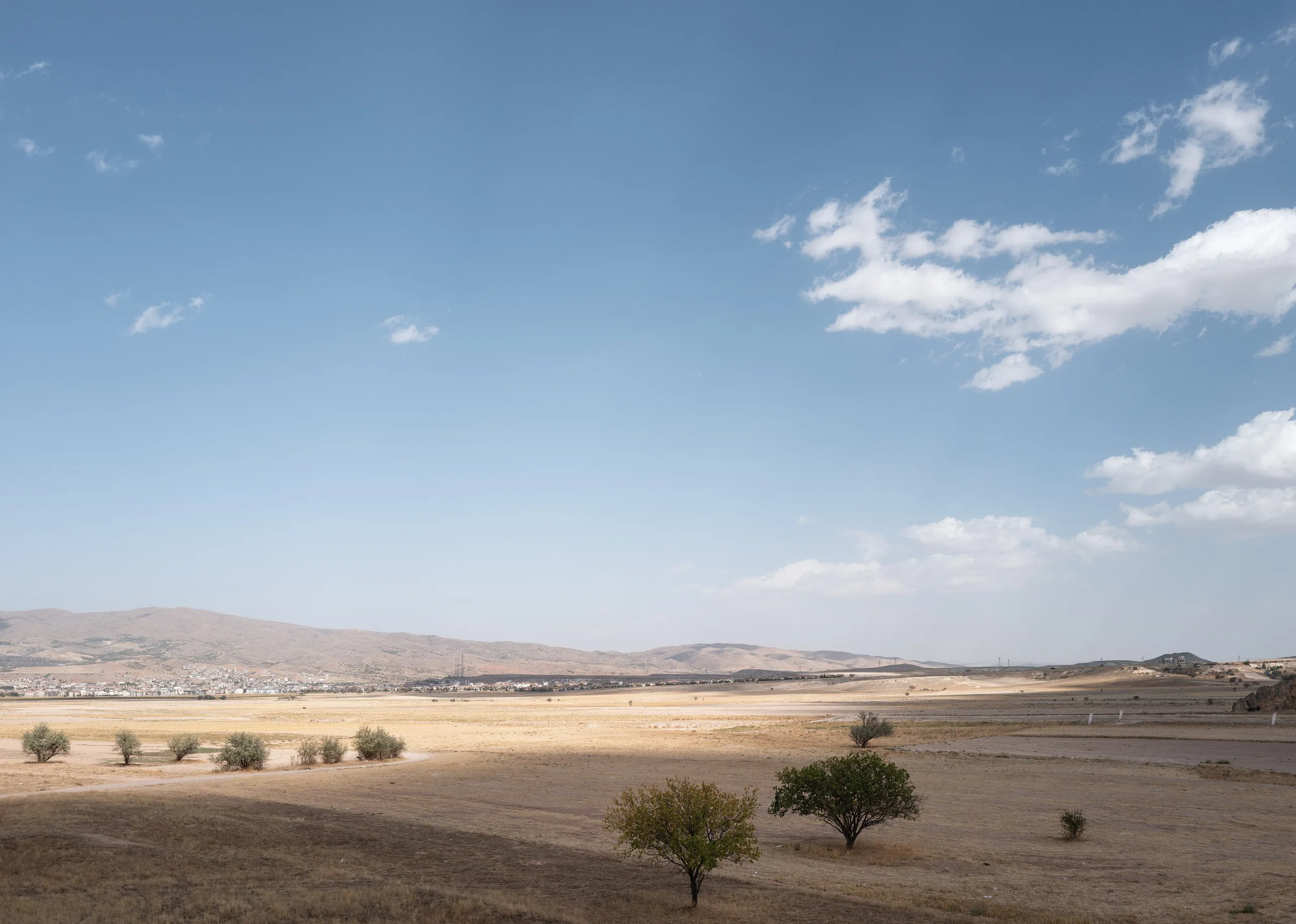
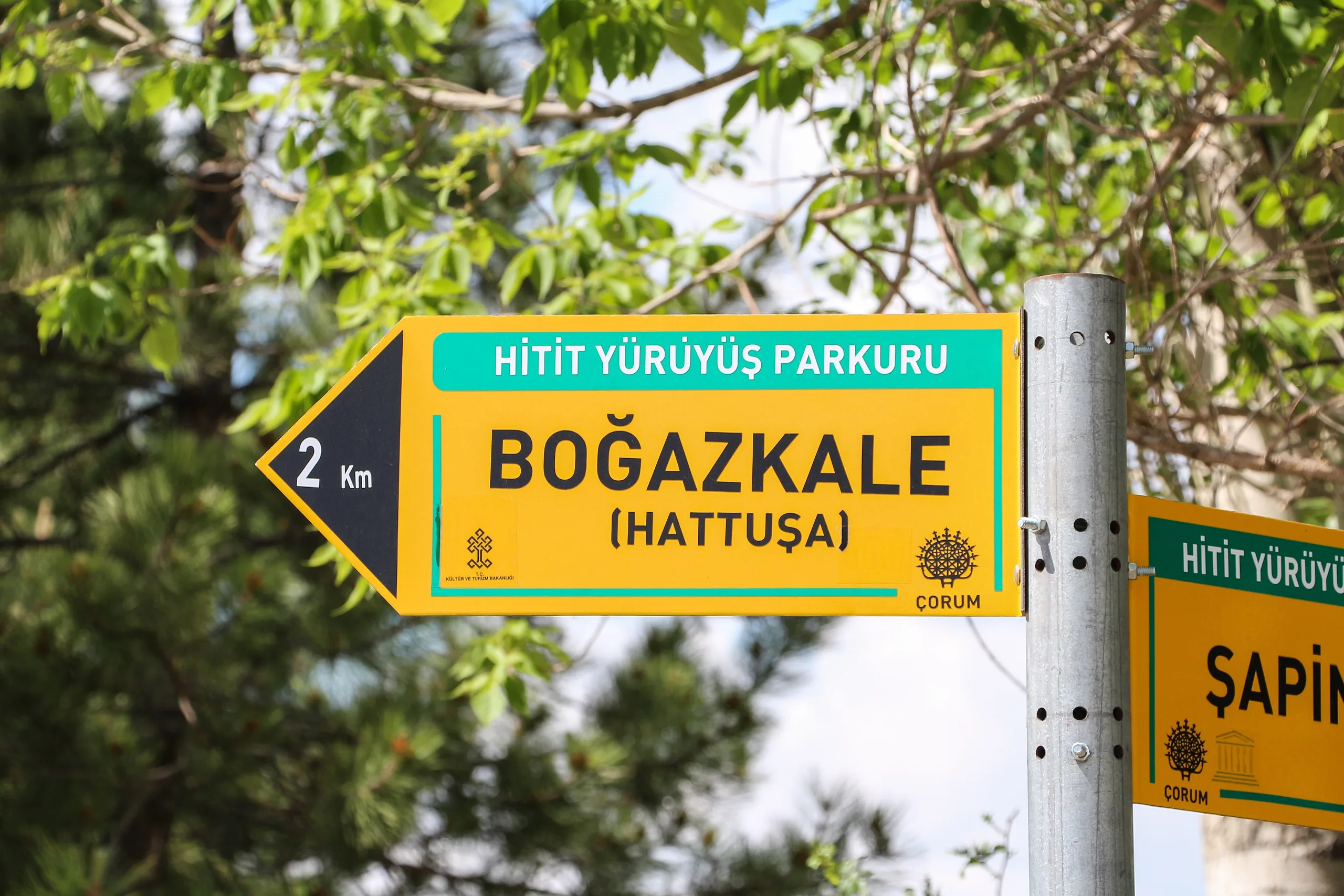
The site lies about 82 km south-west of Çorum and roughly 200 km east of Ankara. The city was laid out on sloping ground at the southern end of the Budaközü plain, some 300 m above the valley floor. The Kızlarkayası creek splits the settlement in two, with the Lower City to the north and the Upper City to the south. Yazılıkaya is 3 km from Boğazkale and 2 km from Hattusa.
The story of the Hittite capital
First traces on the hills go back to the Chalcolithic, and by the 3rd millennium BC a small fortified settlement stood around Büyükkale. Assyrian merchants then set up trading colonies in the Lower City between the 19th and 18th centuries BC, and the town's name shows up in written records for the first time. A great fire ended this first phase of growth. The destruction is dated to about 1720 BC and is commonly blamed on Anitta, king of Kushshara.
The place was resettled around 1700 BC, and Hattusili I, who like Anitta came from Kushshara, founded the state and made it his capital. Its time as capital ran from about 1650 to 1180 BC. Under Muwatalli (1305-1282 BC) the palace and the gods briefly moved to Dattassa before Hattusa took the role back. Expansion had begun early, and Babylon fell around 1594 BC. About 1400 BC Azzi raiders seized the city, though it was largely rebuilt.
By the 13th century BC palaces, temples and quarters spread across 2 km. The last prominent kings were Hattusili III, his son Tudhaliya IV and Tudhaliya's son Shuppiluliuma II. Economic strain and internal unrest brought the state down around 1200-1190 BC. The ground lay empty for four centuries until Phrygians arrived in the mid-8th century BC. In Hellenistic and Roman times (3rd century BC to 3rd century AD) it was a small walled princely seat, and under Byzantine rule it shrank to a village.
What can be seen
Walls and gates
A monumental wall between 6 and 8 km long rings the city. The Upper City fortification is a double wall with over a hundred towers, and the finest preserved stretch lies between the Lion Gate and the King's Gate. Two gateways open in the west; beyond them come the Lion Gate, the King's Gate and, on the southern edge, the Sphinx Gate, set on a tall artificial bastion with stone-plastered slopes and two staircases, an arched stone tunnel running beneath. The Upper City alone covers more than a square kilometre.
The Great Temple and the Upper City temples
The Great Temple in the Lower City is the best-preserved Hittite temple of the 13th century BC. It is held to be dedicated to the Storm God Teshub and the Sun Goddess of Arinna. Storerooms, workshops, dwellings and a scribal school surrounded it, and thousands of cuneiform tablets came out of this district. In the Upper City a temple quarter runs from the Sphinx Gate to Nişantepe and Sarıkale. Its temples share one plan: narrow front rooms and deep main chambers entered from a central courtyard.
Büyükkale, Nişantepe and Güneykale
Büyükkale is the palace-citadel on the main peak, and it was a seat of power before the Hittites too. The West Building and the Palace Archive yielded about 3,300 sealings (clay lumps stamped with seals) and 30 cuneiform tablets, two thirds of the sealings bearing great kings' seals. The inscription at Nişantepe is the longest known Hittite hieroglyphic text and is tied to the last Hittite king, Shuppiluliuma II. The large pond at Güneykale and the structures around it are credited to him as well; one of them is a room with a parabolic dome and relief-decorated walls. The text in the Hieroglyphic Chamber recounts that king's deeds.
Yazılıkaya
Yazılıkaya, about 2 km north-east of Hattusa, is a rock sanctuary with two chambers cut in natural stone. Its walls hold the richest examples of Hittite relief art: gods, goddesses and the Great King Tuthaliya IV. The sanctuary was first closed off from the outside by a wall; its second phase and the Great Gallery reliefs are tied to Hattusili III, the third phase and the Tudhaliya relief to Tudhaliya IV. In the Great Gallery (Chamber A) gods line the west wall and goddesses the east wall. The Small Gallery (Chamber B) shows a procession of twelve gods, an image of Nergal, and Sharruma embracing Tudhaliya IV. Three niches in the rock are thought to have held gifts or the ashes of the royal family.
Excavations and research
Charles Texier visited and described the place in 1834. Sayce was the first to link the ruins with the Hittite state, at a time when the Hittite heartland was still assumed to lie in Syria. Carl Humann and Otto Puchstein drew the first overall plan in 1882, and E. Chantre dug the first trial trench in 1893-94. Makridi and H. Winckler came in 1905 and dug until 1917; the work became comprehensive in 1906. Once a copy of the peace treaty between Hattusili III and Ramses II turned up, the city could be identified as Hattusa. Systematic research led by the German Archaeological Institute (DAI) began in 1931-32 under Kurt Bittel. After a pause during the Second World War the dig ran without a break: Peter Neve directed from 1978 to 1993 and Jürgen Seeher from 1994. The present project leader is Andreas Schachner. The digs also exposed large underground granaries and artificial ponds, evidence of how the city stored food and managed water, and the work is supported by the DFG and several foundations.
Finds and Boğazköy Museum
Boğazköy Museum opened on 12 September 1966 and was reorganised in 2011. Its displays run from the Chalcolithic to the Byzantine age, taking in Early Bronze Age, Assyrian colony, Hittite, Phrygian, Galatian and Roman pieces. A sphinx brought back from Berlin and restored in Istanbul was moved to the museum in 2011 together with the other Boğazköy sphinx. In the garden stand a Hittite-period sphinx, tablets inscribed with hieroglyphs, and Roman and Eastern Roman milestones and funerary stelae. The cuneiform archives preserve the oldest known Indo-European language, and the tablets call Hattusa the City of a Thousand Gods.
World Heritage and protection
Hattusa was inscribed in 1986 under criteria (i), (ii), (iii) and (iv), for its urban organisation, its surviving royal residences, temples and fortifications, the rich ornament of the Lion and King's Gates, and the rock art of Yazılıkaya. During the 2nd millennium BC its reach extended over Anatolia and into the north of Syria. The property measures 268.46 ha and covers the city, Yazılıkaya, Kayalı Boğaz and İbikçam Forest. The ancient city is protected as a first- and second-degree archaeological site, Kayalıboğaz and Yazılıkaya as first-degree sites. Kayalı Boğaz, a short walk beyond the King's Gate to the east (1.5 km), was a fortified settlement that watched the roads into the capital, and İbikçam Forest is among the last surviving stands of the dense woodland that covered the southern mountains in Hittite times. Every physical intervention within the property needs the approval of the regional conservation council. Overall, the whole lies inside the Boğazköy-Alacahöyük National Park declared in 1988. The 1986 assessment had flagged the spread of Boğazkale village into part of the zone and the use of the land for farming and grazing.
Visiting
The MüzeKart is valid for Turkish citizens. Hours and fees can change, so check the official museum pages. Alacahöyük Museum and Site and Çorum Museum are the nearest other stops.
Gallery
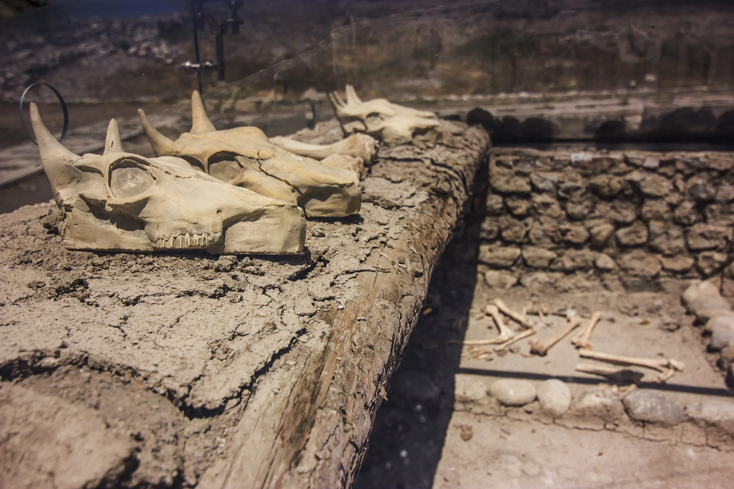
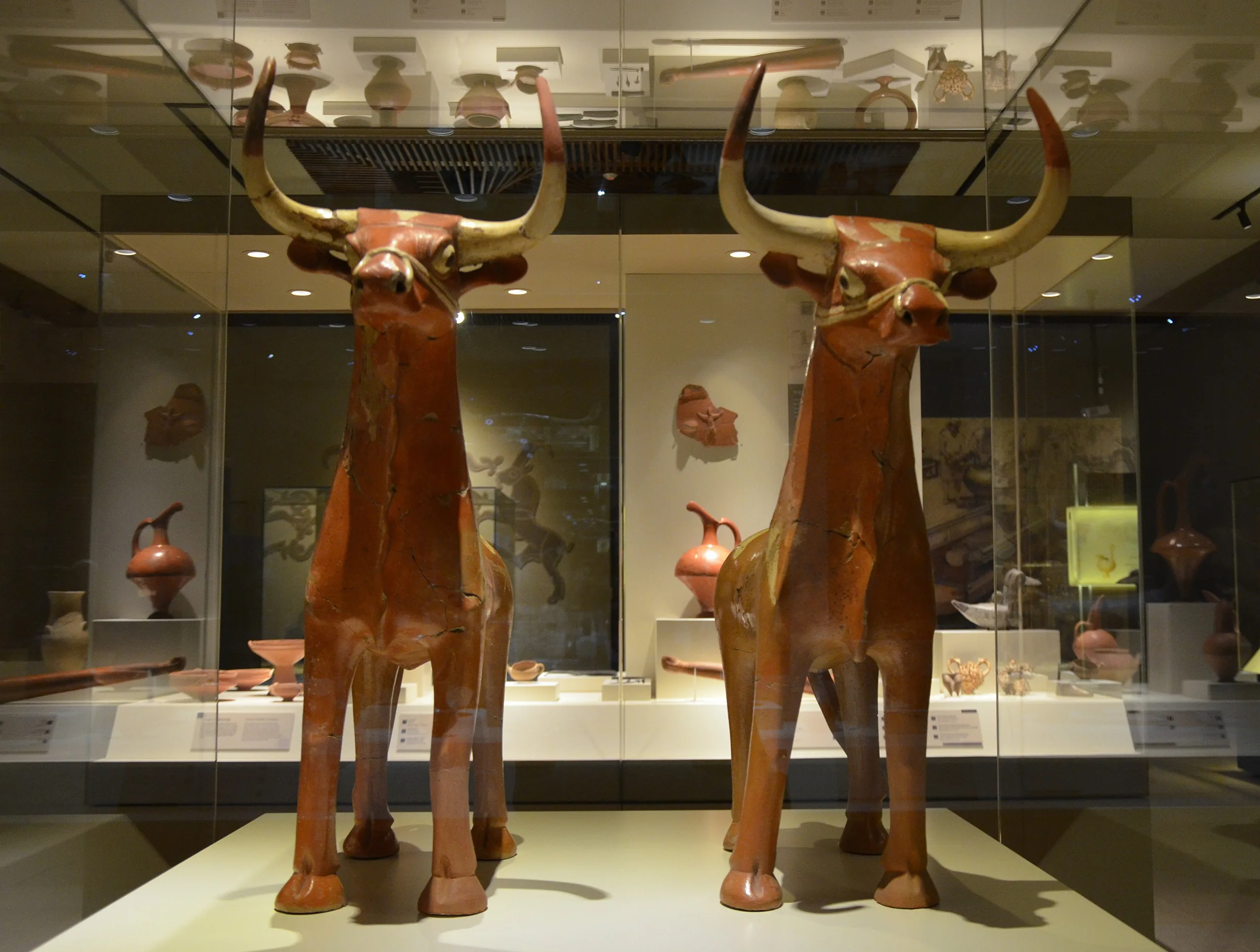
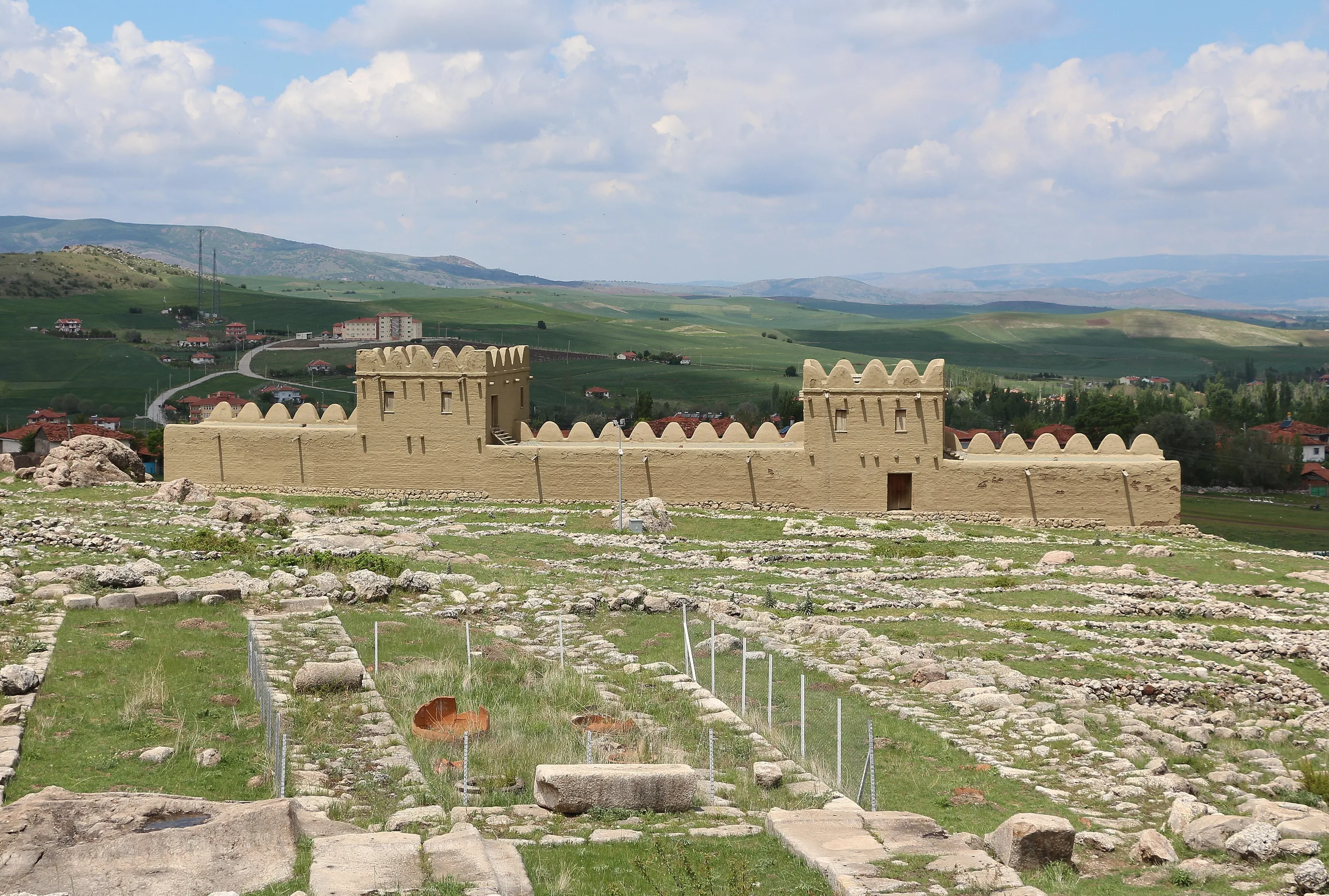
Frequently asked questions
Where is Hattusa?
Why is Hattusa important?
What is Yazılıkaya?
When did Hattusa become the Hittite capital?
Why are the Hattusa tablets special?
What does Boğazköy Museum hold?
Sources (18)
- Boğazköy-Hattuşa Örenyeri / Hattusha (Boğazköy) (TR ve EN sayfaları) — T.C. Kültür ve Turizm Bakanlığı, Müzeler ve Ören Yerleri
- Boğazköy Müzesi / Boğazköy Museum (TR ve EN sayfaları) — T.C. Kültür ve Turizm Bakanlığı, Müzeler ve Ören Yerleri
- Hattuşa - Çorum (Gezilecek Yerler; kaynak: Çorum İl Kültür ve Turizm Müdürlüğü) — T.C. Kültür ve Turizm Bakanlığı, Kültür Portalı
- Yazılıkaya Açıkhava Tapınağı - Çorum (Gezilecek Yerler) — T.C. Kültür ve Turizm Bakanlığı, Kültür Portalı
- Hattuşa: Hitit Başkenti (Dünya Mirasında Türkiye) — T.C. Kültür ve Turizm Bakanlığı, Kültür Portalı
- Hattusha: the Hittite Capital (UNESCO Dünya Mirası no. 377) — UNESCO World Heritage Centre
- Advisory Body Evaluation, Hattusha (WHC 377) — ICOMOS, 1986
- Ḫattuša/Boğazköy – Die Hauptstadt des Hethiterreiches (DAI proje sayfası) — Deutsches Archäologisches Institut, İstanbul Şubesi
- Hattusa (Pleiades place 283602441) — Pleiades
Photo credits
- Photo: Dosseman, CC BY-SA 4.0 — Wikimedia Commons (resized)
- Photo: Carole Raddato from FRANKFURT, Germany, CC BY-SA 2.0 — Wikimedia Commons (resized)
- Photo: Bernard Gagnon, CC BY-SA 3.0 — Wikimedia Commons (resized)
- Photo: Dosseman, CC BY-SA 4.0 — Wikimedia Commons (resized)
- Photo: Dosseman, CC BY-SA 4.0 — Wikimedia Commons (resized)
- Photo: Caferari, CC BY-SA 4.0 — Wikimedia Commons (resized)
- Photo: Alfinkedisi, CC BY-SA 4.0 — Wikimedia Commons (resized)
- Photo: Carole Raddato from Frankfurt, Germany, CC BY-SA 2.0 — Wikimedia Commons (resized)
- Photo: Bernard Gagnon, CC BY-SA 3.0 — Wikimedia Commons (resized)