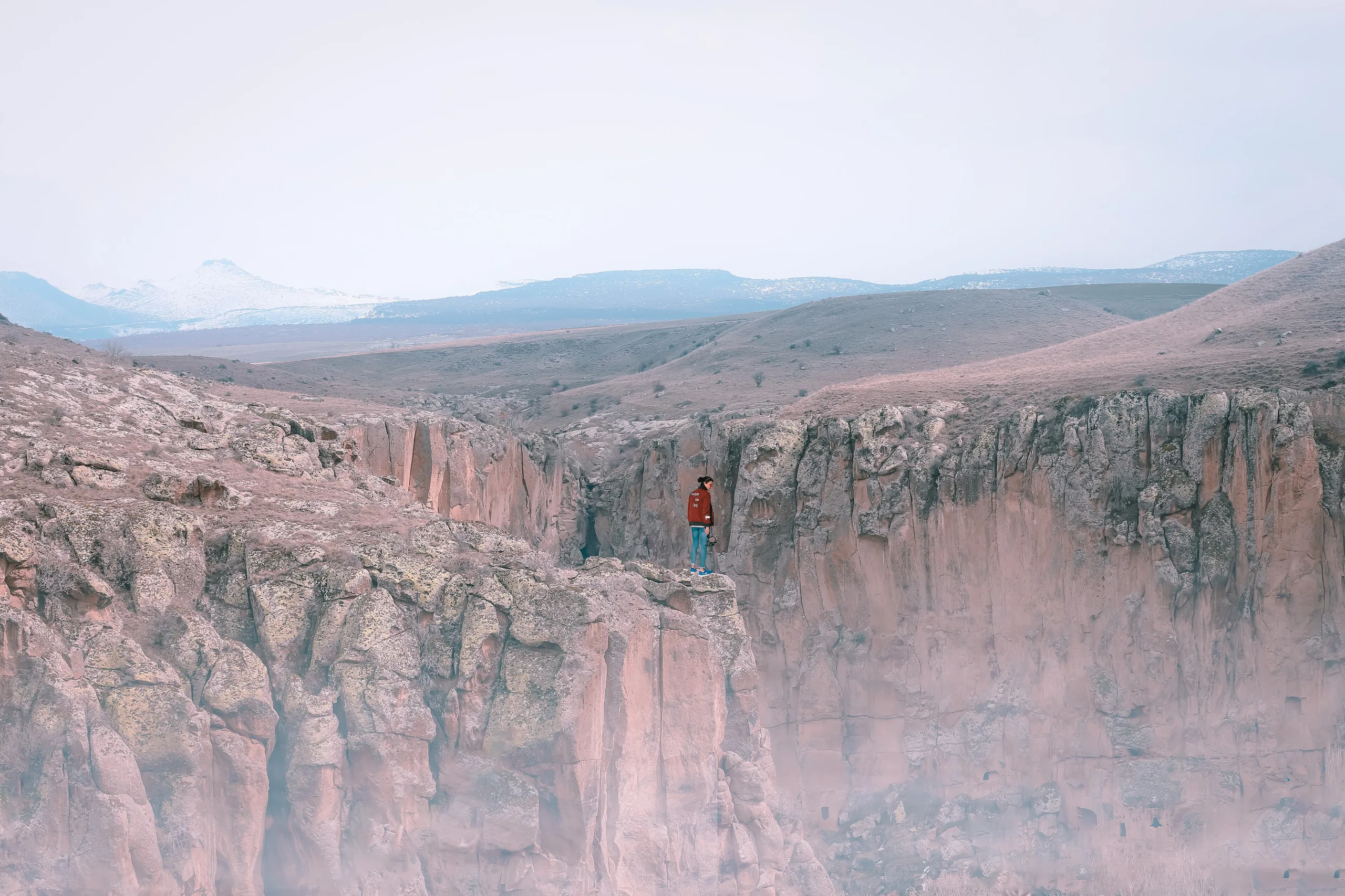
Çatalhöyük is a Neolithic settlement on two mounds in the Konya plain, founded about 9,000 years ago, famous for streetless roof-entered houses and wall paintings; listed by UNESCO in 2012.
Çatalhöyük is a place (Mound settlement) in Turkey, Konya. Main periods: Neolithic Period, Chalcolithic Period. It was inscribed on the UNESCO World Heritage List in 2012.
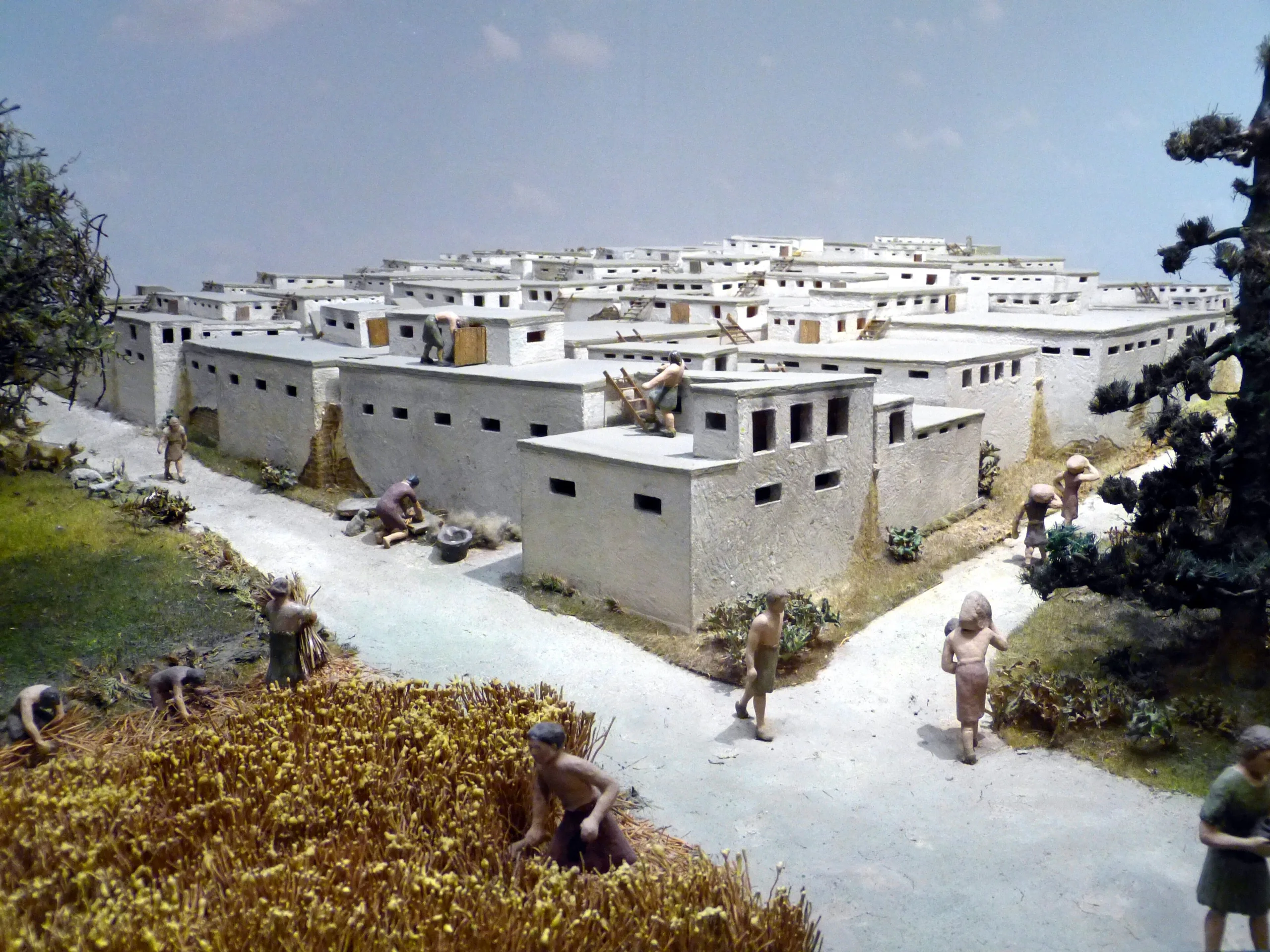
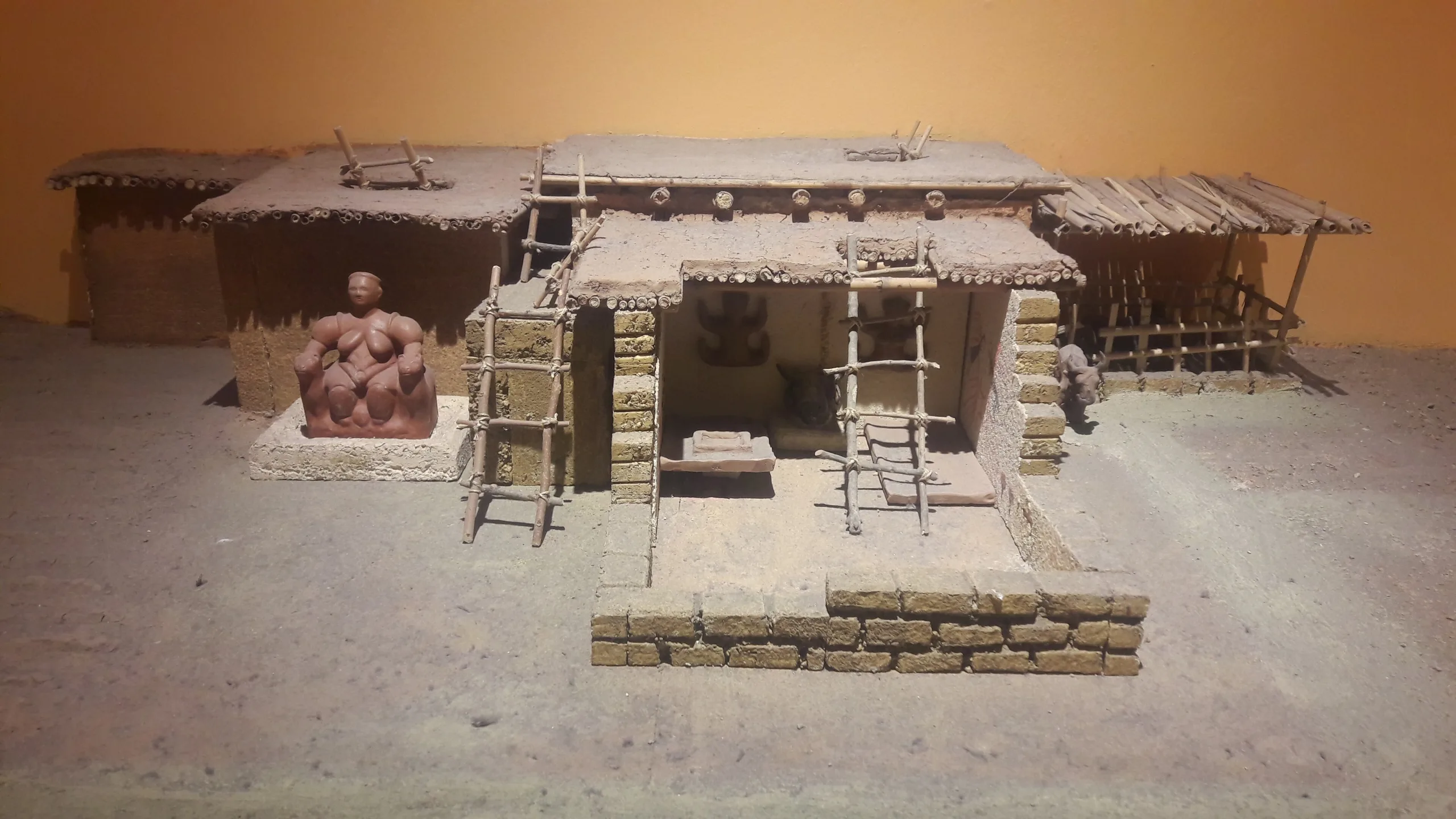
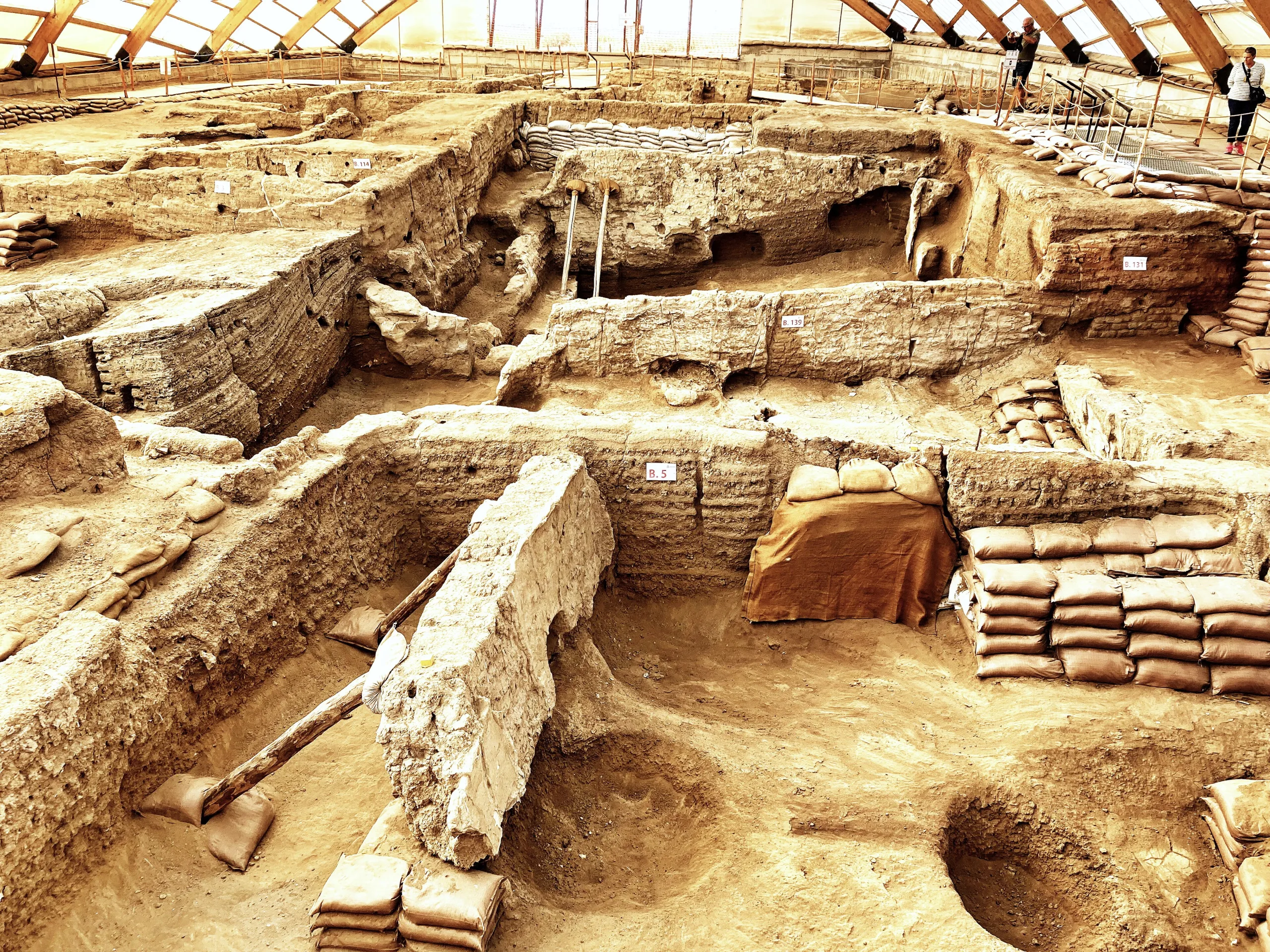
For centuries the people of Çatalhöyük rebuilt their houses on exactly the same spot, tearing down the old walls and raising new ones over them, with the hearth staying in much the same corner each time. The result is a mound that stands more than 20 m above the plain, made of stacked houses. It lies in the Konya plain, within Çumra district, and consists of two mounds: an east one, Neolithic, and a lower west one, Chalcolithic. People first settled here around 9,000 years ago, and over the next 2,000 years a small village grew into a community of several thousand. Çatalhöyük joined the UNESCO World Heritage List in 2012.
Location
The site lies within the limits of Çumra district in Konya province, near the village of Küçükköy, some 10-12 km north-north-east of Çumra town and about 60 km from Konya. The name comes from çatal, a fork, because the mound has two summits of different heights. The top of the east mound reaches 1,020.3 m above sea level. Today the setting is a flat, dry, heavily farmed plain, and the lack of trees makes other mounds on it visible from afar. In prehistory the Çarşamba Stream, dry now, flowed at the base of the mound.
The story of the settlement
Around 13,000 to 11,500 BC the lake that once filled the Konya plain began to dry, and around 9500 BC a warmer, damper climate had made the soil good for farming. The east mound contains 18 Neolithic occupation levels dated 7400-6200 BC. The west mound holds mainly Chalcolithic, or Copper Age, levels of 6200-5200 BC that carry on the traditions of the east. People started living on the west mound while the last phases of the east mound were still under way. The community grew from small local groups into a large town, with a population estimated between 3,000 and 8,000. Obsidian deposits nearby supplied a prized raw material for tools, and it was exported as far as Cyprus, Israel, Palestine and Mesopotamia.
Nothing stayed fixed, even though the pattern of rebuilding looks continuous. Ovens and hearths moved from one side of a room to another and back, and the mudbricks became smaller over the millennia. On the east mound the busiest phases are levels VII and VI: cooking in pots became common in level VII, and most burials come from these two levels. Feasts of wild cattle are attested up to level VI. From the 6th millennium the northern part of the east mound was gradually abandoned. Neither mound shows Classical or Byzantine settlement, only Byzantine burials and rubbish pits.
What can be seen
Houses and layout
The basic unit is a rectangular mudbrick house, and 166 have been excavated so far, separated by areas of refuse. Each house has its own walls, with a new one added alongside when needed. Inside there is a main room with a hearth and benches or platforms 10-30 cm high, together with niches in the walls and side rooms that mostly serve as storage. The walls were plastered, whitened, and then painted in yellow, red and black. No defensive wall has been found.
On the west mound the houses are larger, with several rooms around a plastered central room with its own hearth; they have two storeys and buttressed walls. Every house shows signs of production, but no large public building, ceremonial centre, specialised workshop area or cemetery has turned up, which suggests a largely egalitarian society. A few houses with more art and a longer life may have acted as ritual centres.
Paintings, reliefs and figurines
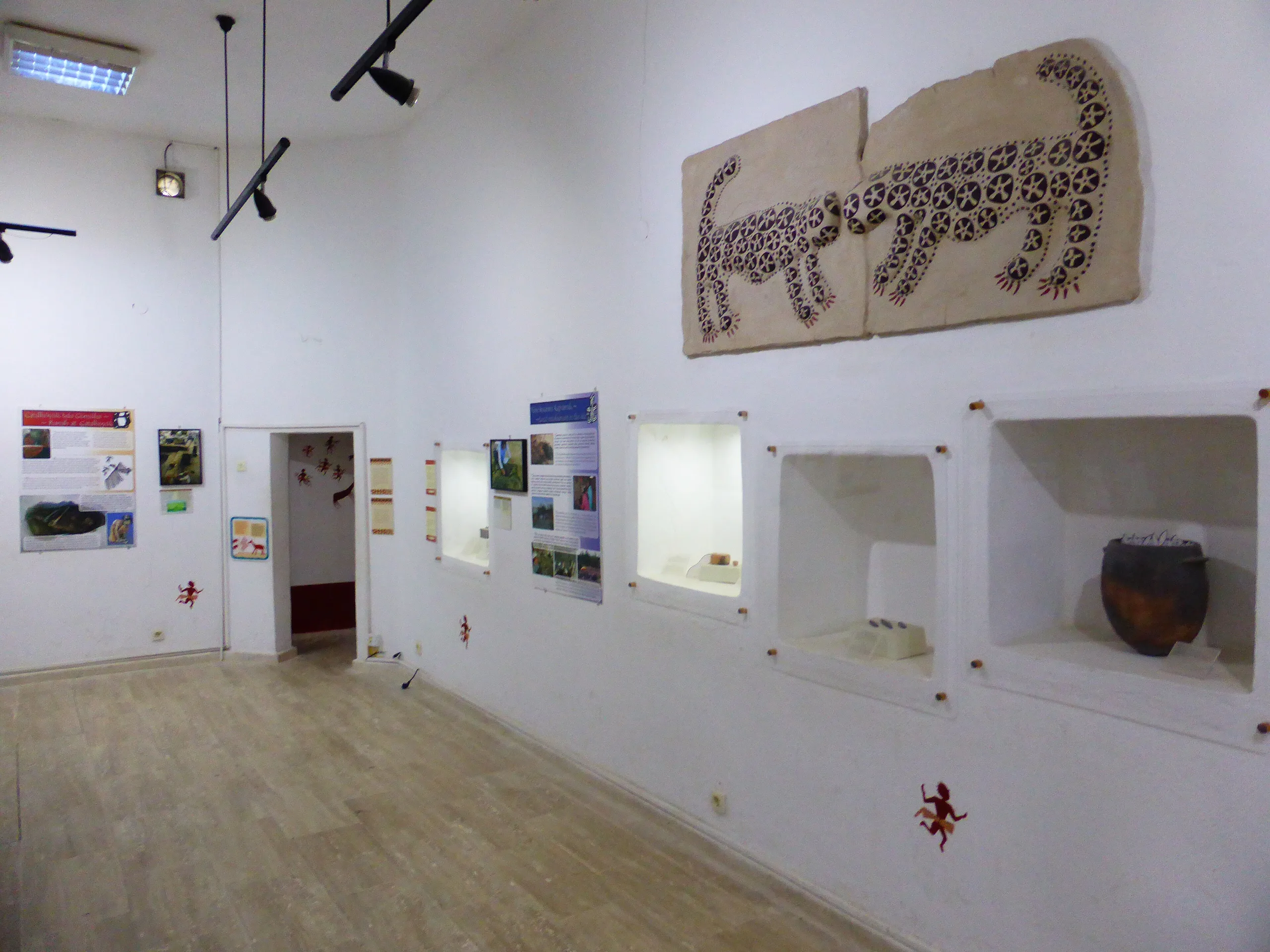
The wall paintings found in the 1960s were executed on white lime-clay plaster. They show humans, raptors and wild animals in hunting and baiting scenes, with wild bulls as the centrepiece on the north walls of several buildings. Clay-covered bull skulls with their horns (bucrania), reliefs, and rounded protrusions on the walls also stand out. Inside these protrusions were the teeth of foxes and weasels, the jaws of wild boar, bear claws and vulture beaks, so animals clearly mattered in ritual. Vultures tearing headless human figures in the paintings are thought to relate to burial customs: the flesh was cleaned by vultures, and the bones were wrapped in reed matting and buried beneath platforms in the house. The most developed paintings come from building levels 7 and 5. The west mound has no wall paintings or reliefs, but the same imagery continues on pottery and stone vessels.
Statuettes of fired clay and stone, 5-15 cm tall, show women with full breasts and hips. One figure of a woman on a throne between wild animals was long read as a mother goddess, a possible forerunner of Cybele. Recent research indicates, however, that men and women held much the same social status, and the matriarchy theory has lost its footing.
Burials and finds
Most burials lie beneath house floors and platforms, and more than 400 have been dug. The dead were generally curled up and wrapped in cloth, with gifts such as beads, necklaces and vessels placed beside them. Some pits held over ten skeletons. Other grave goods include bone tools, coloured stones, stone axes and shell beads. Elsewhere the finds range from pottery, obsidian blades and arrowheads to baskets, clay balls, stone vessels and stamp seals. The painted, fired-clay seals form a distinct group among Near Eastern Neolithic seals of 8000-5000 BC.
Research and museums
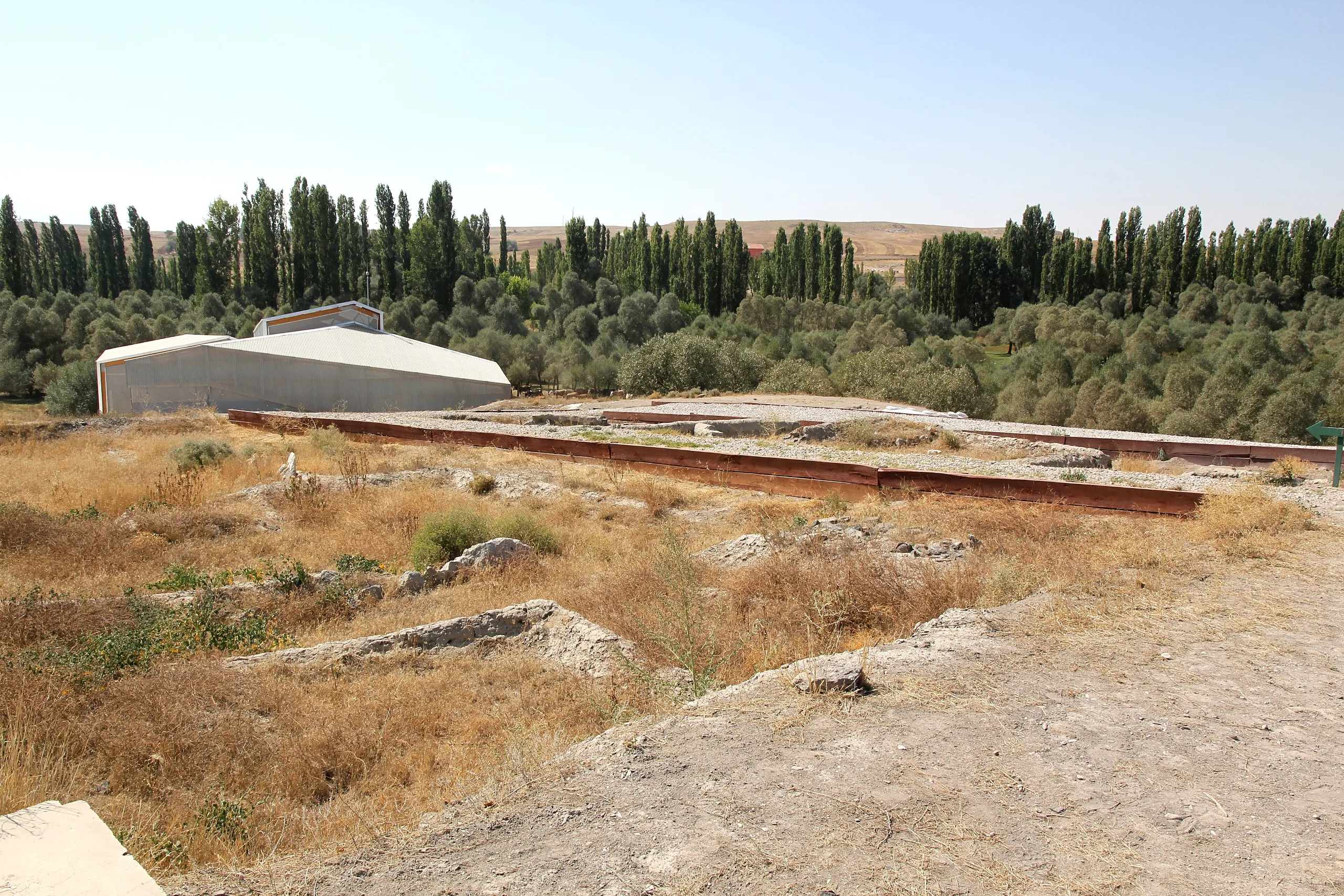
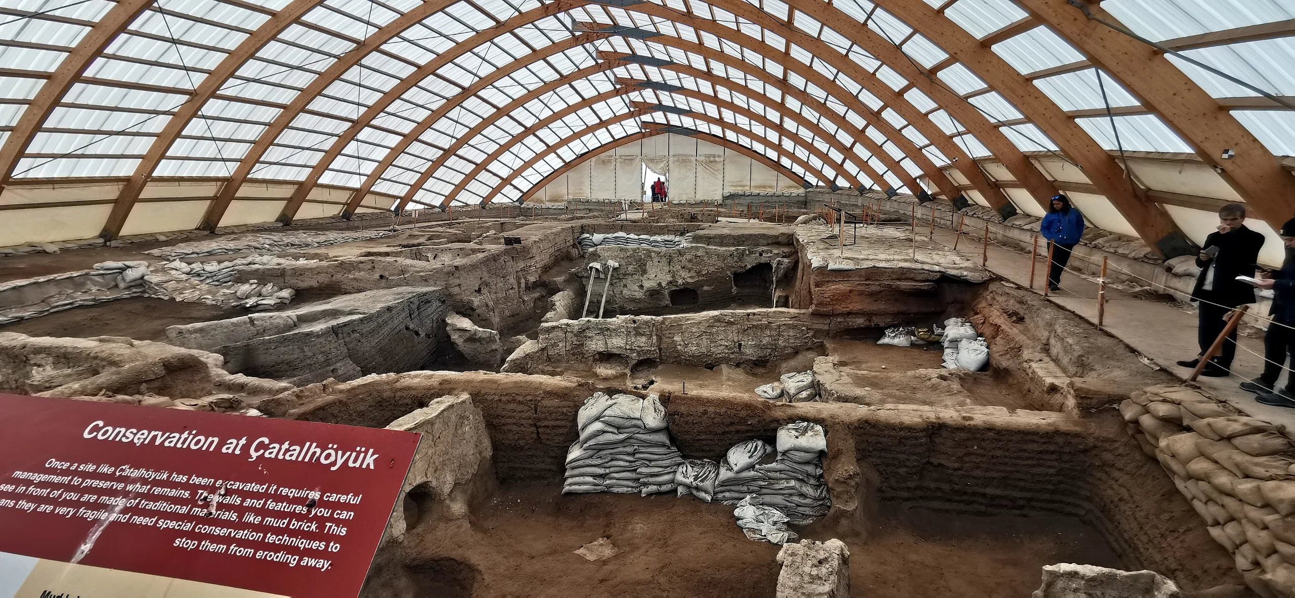
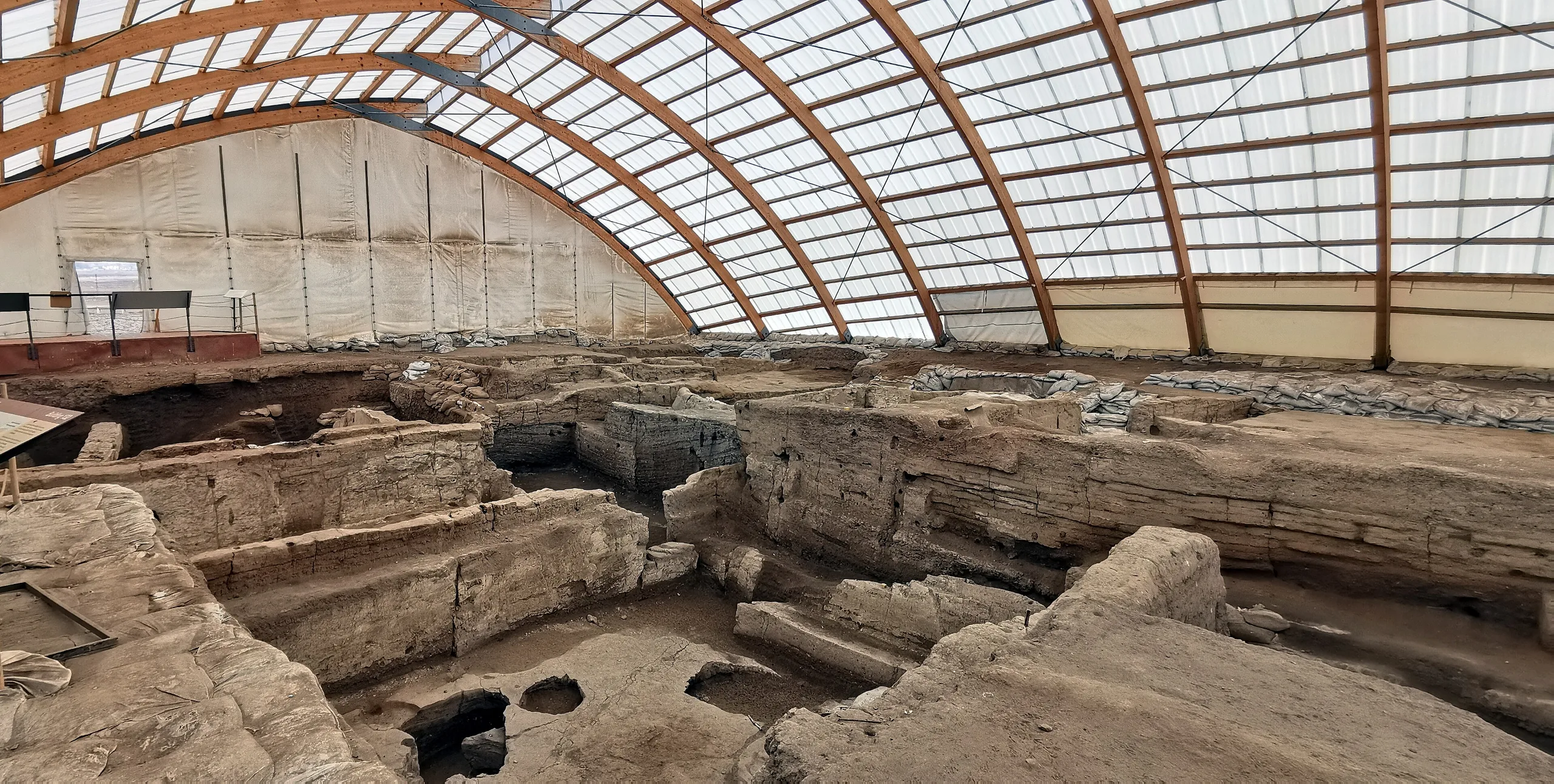
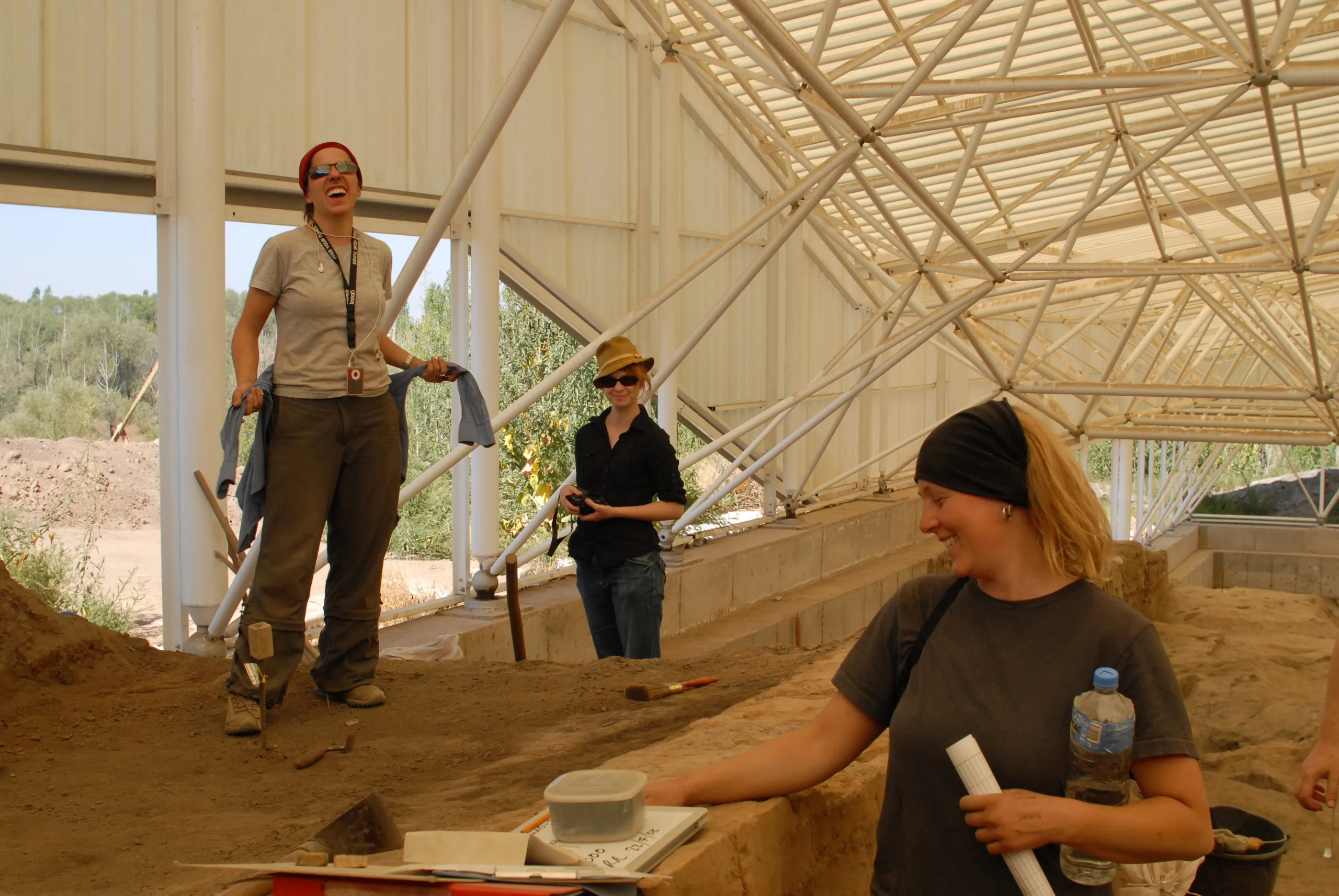
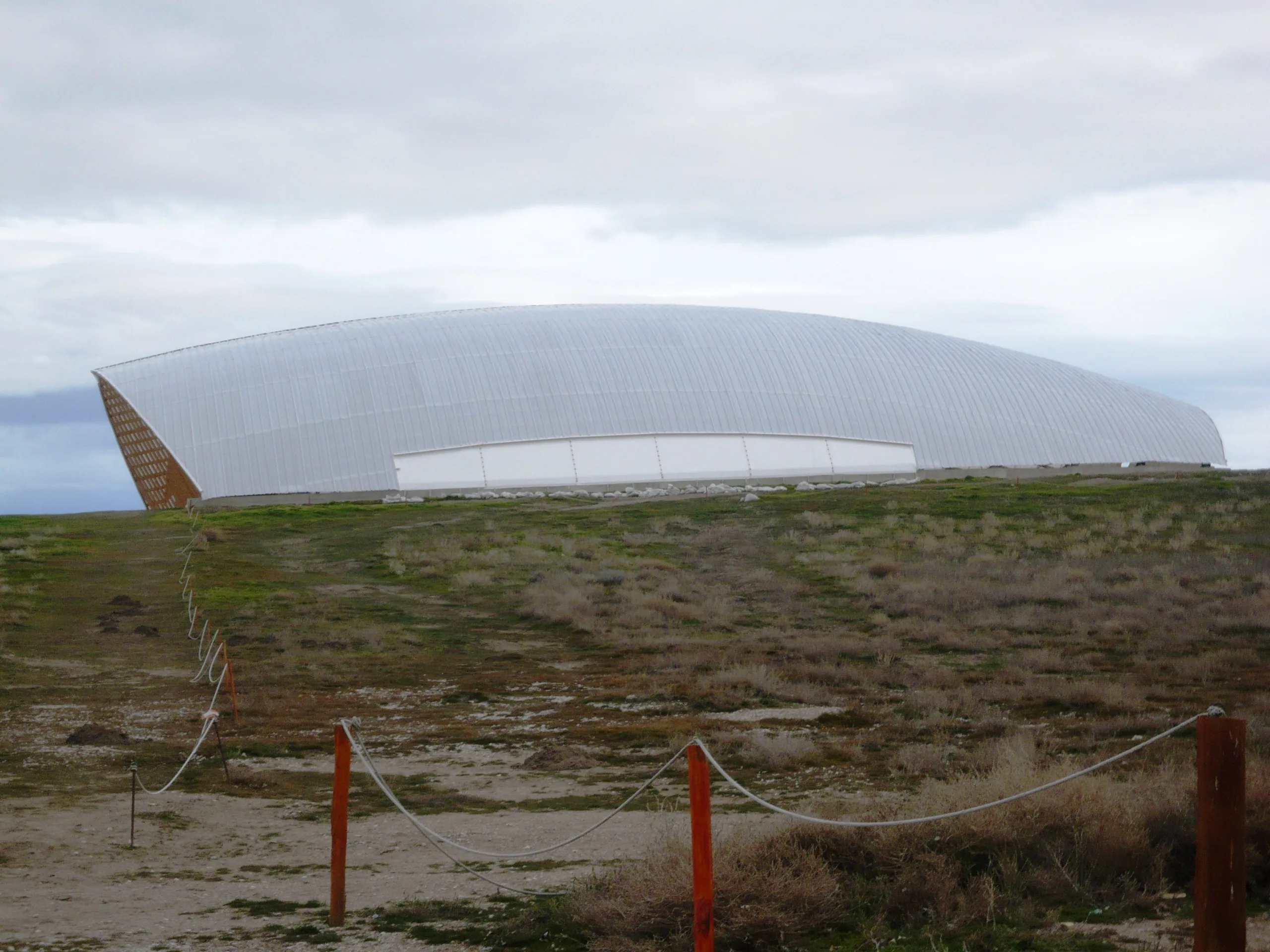
James Mellaart was the first to survey the Konya plain systematically, in 1951. In 1958 he went to the mound with David French and Alan Hall, and uncovered mudbrick buildings; Turkish law registered the mound as a monument the same year. Mellaart dug here from 1961 to 1965 and exposed about 160 buildings. The site then lay untouched until 1993, when an international team under Ian Hodder began the Çatalhöyük Research Project, which ran until 2018. That second phase produced significant results on the environment, gender relations, family dynamics, myth and daily life. Digging goes on today under Ali Ozan of Pamukkale University. Less than 10% of the site has been excavated, and two large shelters cover parts of the east mound. A visitor centre, dig house and experimental house stand outside the property boundary.
The finds are kept in the Konya Archaeological Museum, partly displayed and partly in storage. One building that Mellaart took for a shrine was relocated to Ankara and remains on show at the Anatolian Civilisations Museum, and fine statuettes can be seen in both museums.
World Heritage status
Çatalhöyük was inscribed in 2012 (reference 1405) under criteria (iii) and (iv). Criterion (iii) captures the moment in central Anatolia when the first farming settlements grew from villages into urban centres on largely egalitarian principles. Criterion (iv) treats the streetless house clusters with roof access as an outstanding type of Neolithic settlement. The property covers 37 ha and has a buffer zone of 147.74 ha. It is protected under Law 2863 as an ancient monument and was registered as a conservation site in 1981, while shelters above the excavations reduce the damage from rain and erosion.
Visiting
The Müzekart is valid for Turkish citizens. Hours, open sections and fees change, so check the official announcements before you go.
Gallery
Frequently asked questions
Where is Çatalhöyük?
How old is Çatalhöyük?
Why is Çatalhöyük a World Heritage site?
How did people enter the houses?
Was Çatalhöyük a matriarchal society?
Who excavated Çatalhöyük and where are the finds?
Sources (13)
- Çatalhöyük Örenyeri / Çatalhöyük (TR ve EN sayfaları) — T.C. Kültür ve Turizm Bakanlığı, Müzeler ve Ören Yerleri
- Neolithic Site of Çatalhöyük (UNESCO Dünya Mirası no. 1405) — UNESCO World Heritage Centre
- Advisory Body Evaluation, Neolithic Site of Çatalhöyük (WHC 1405) — ICOMOS, 2012
- Çatalhöyük Research Project (ana sayfa, duyurular) — Çatalhöyük Research Project
- Çatalhöyük (Pleiades place 483473194) — Pleiades
Photo credits
- Photo: Kemal KOZBAEV, CC BY-SA 4.0 — Wikimedia Commons (resized)
- Photo: Wolfgang Sauber, CC BY-SA 4.0 — Wikimedia Commons (resized)
- Photo: Shiftetelli, CC BY-SA 4.0 — Wikimedia Commons (resized)
- Photo: Murat Özsoy 1958, CC BY-SA 4.0 — Wikimedia Commons (resized)
- Photo: Murat Özsoy 1958, CC BY-SA 4.0 — Wikimedia Commons (resized)
- Photo: Volker Höhfeld, CC BY-SA 4.0 — Wikimedia Commons (resized)
- Photo: Dr._Colleen_Morgan from York, UK, CC BY 2.0 — Wikimedia Commons (resized)
- Photo: Drgulcu, CC BY-SA 3.0 — Wikimedia Commons (resized)