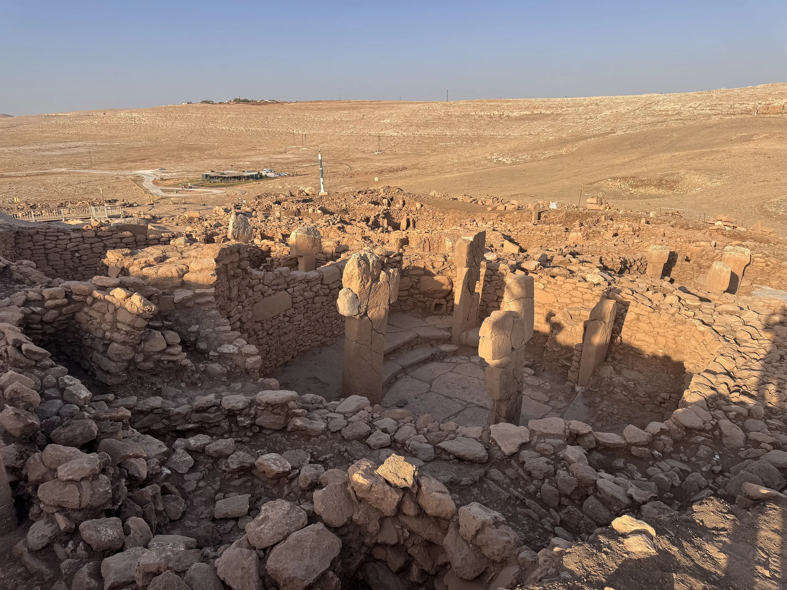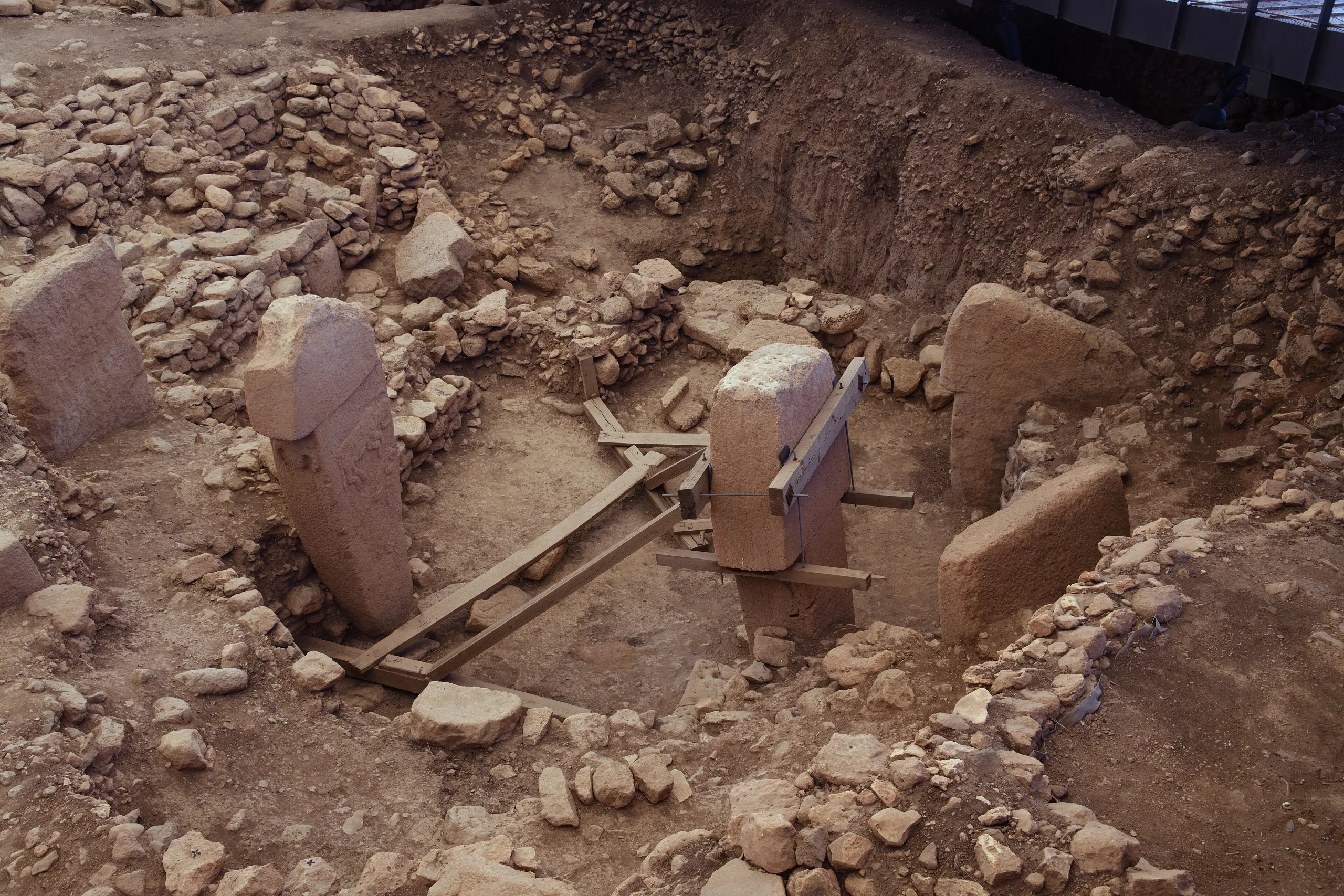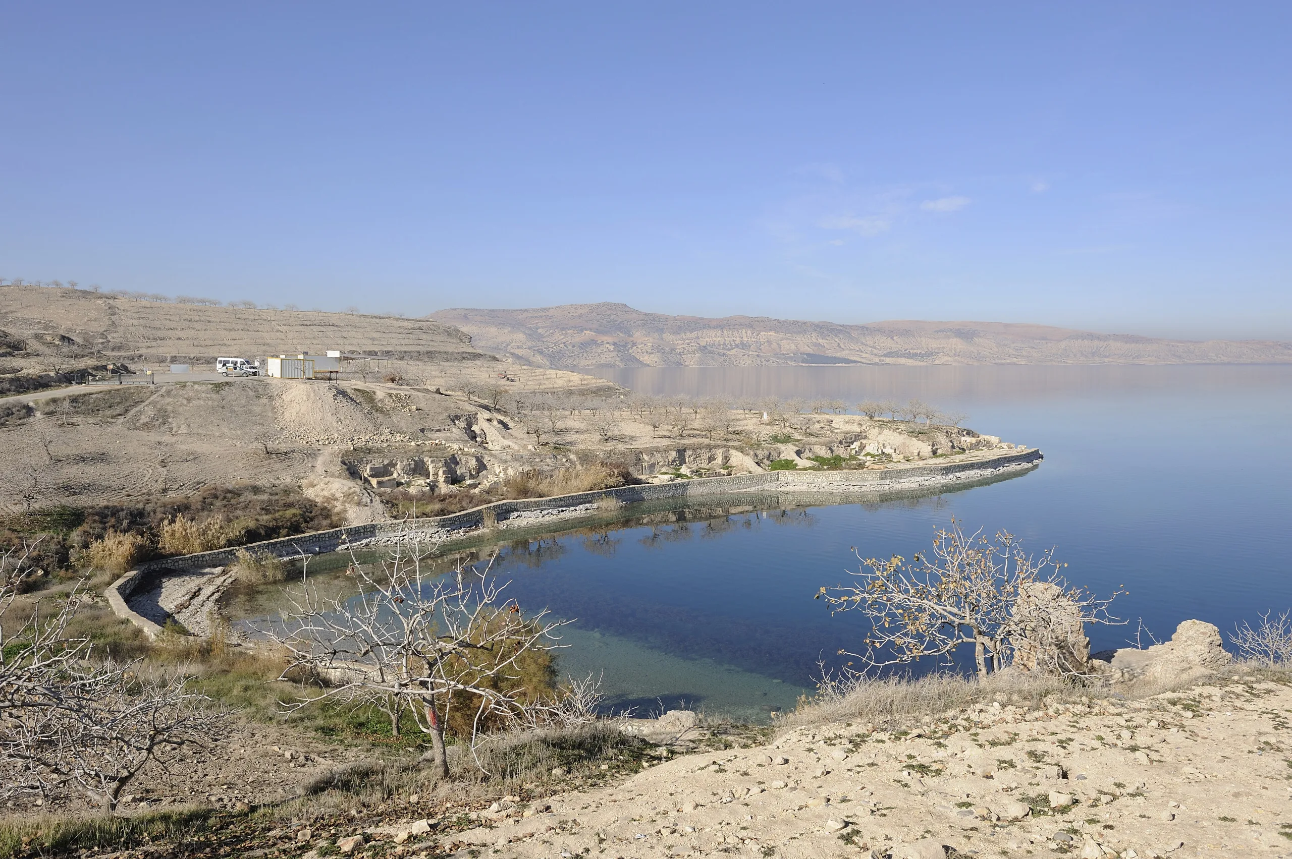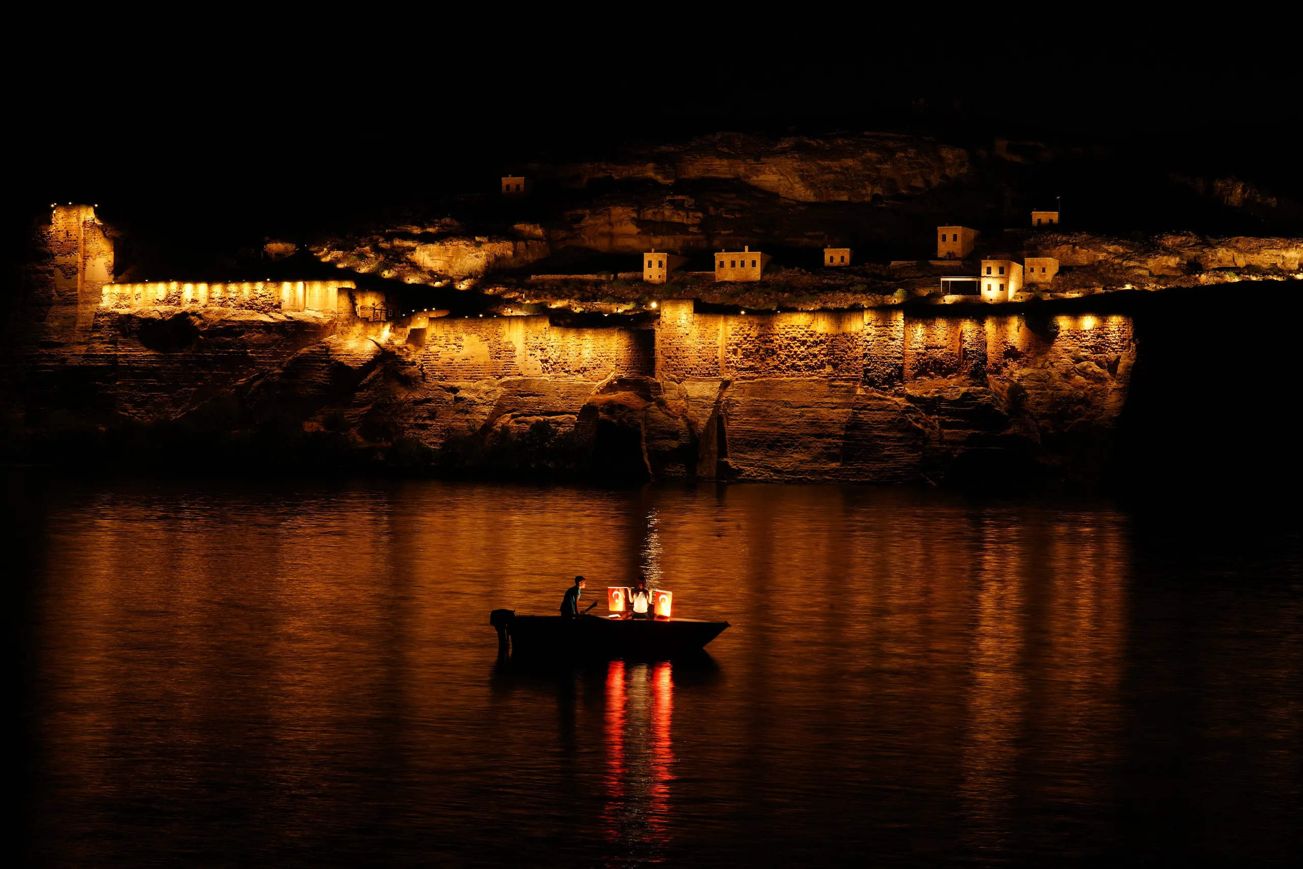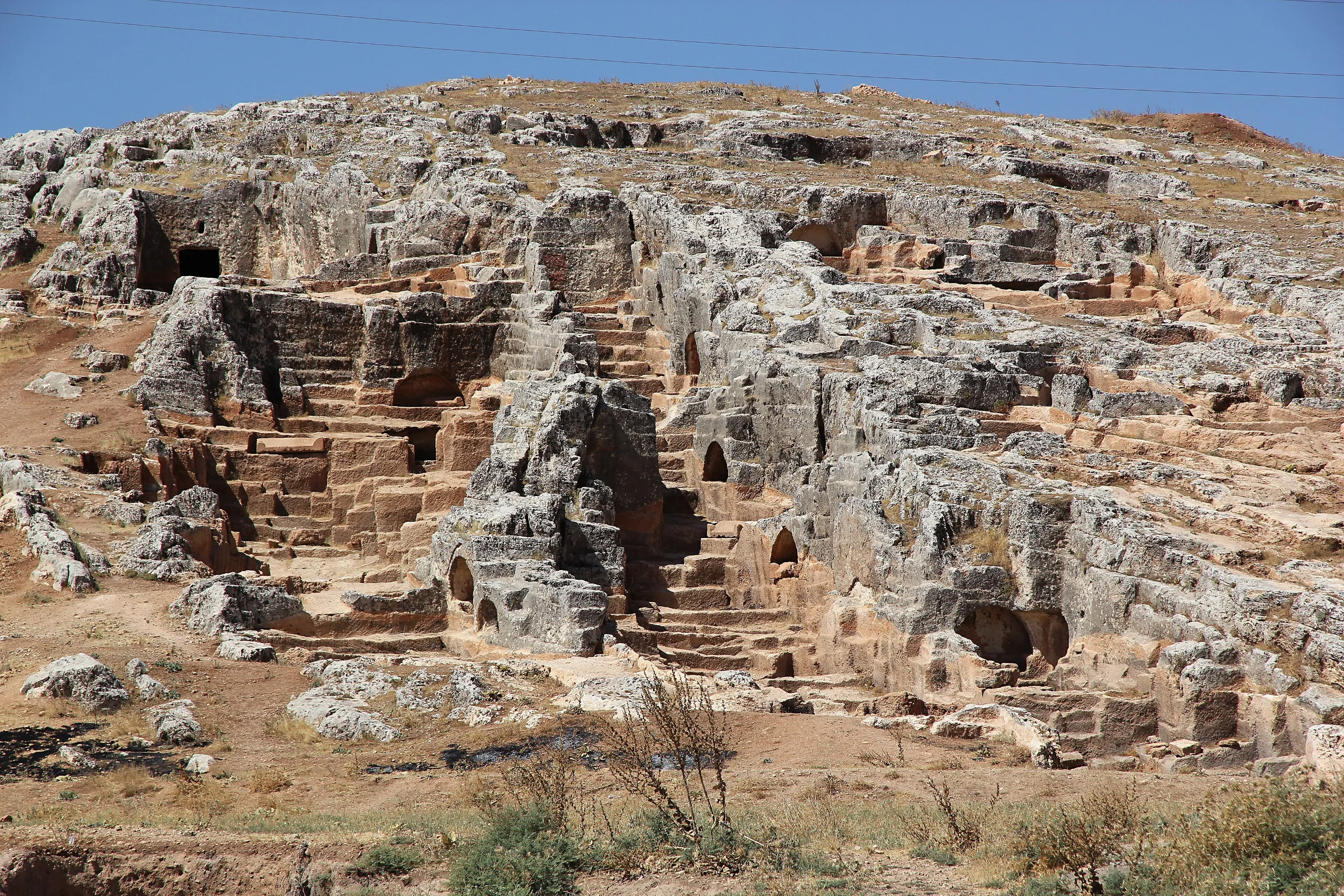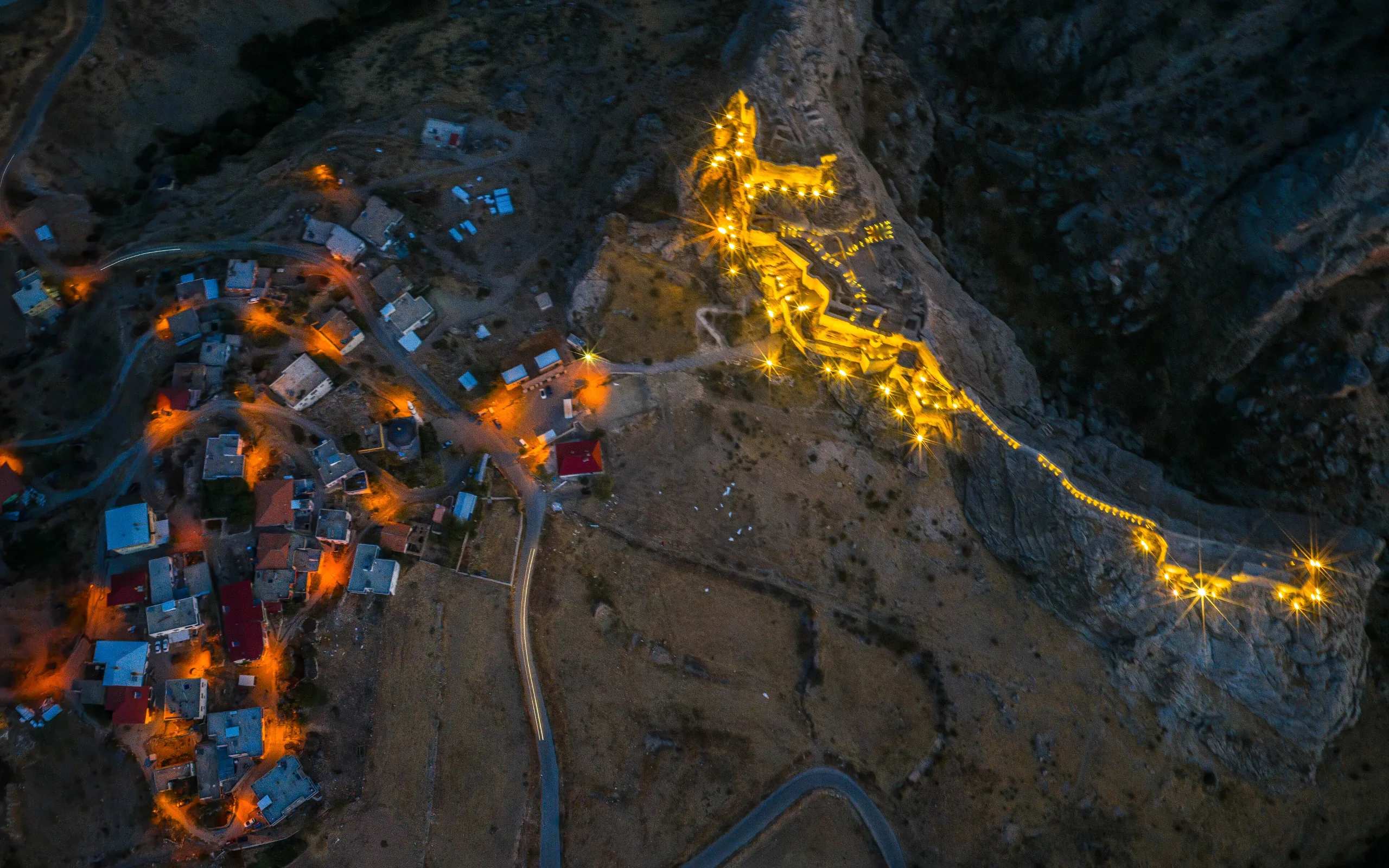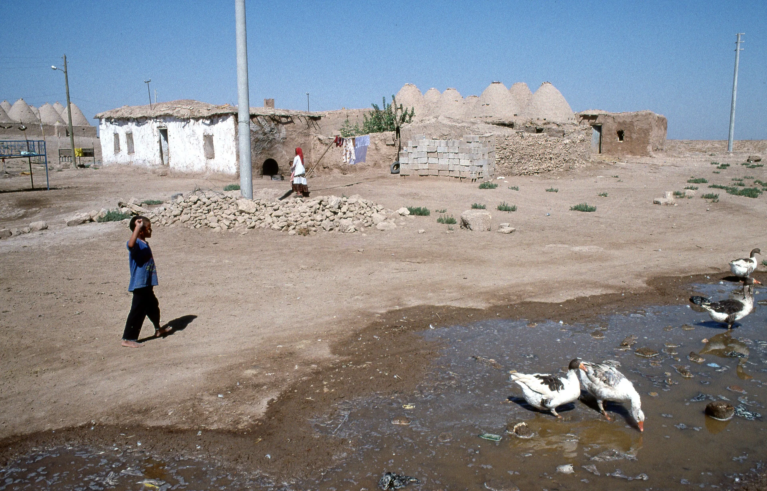
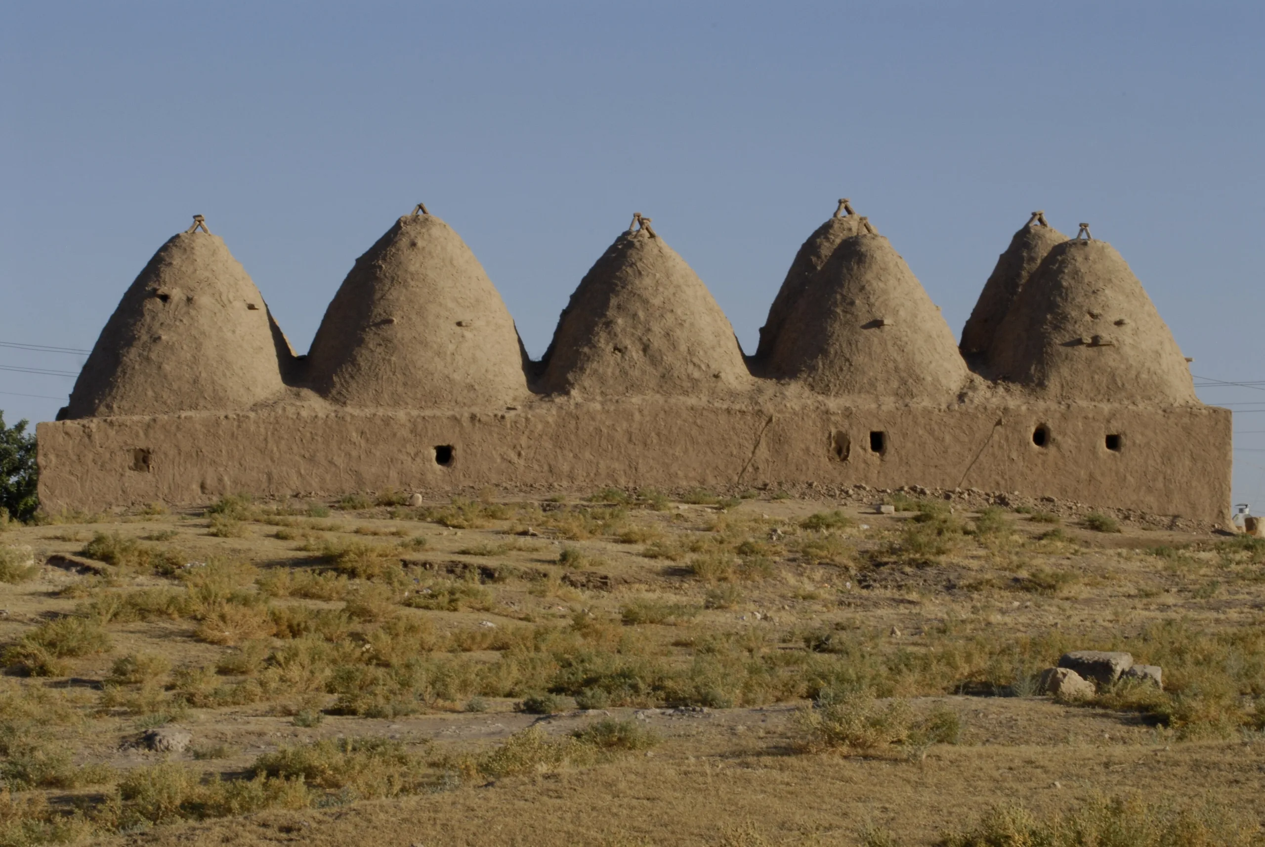
Harran, 44 km south of Şanlıurfa in the middle of its own plain, is an ancient settlement known for its walls, citadel, Great Mosque and beehive-style mudbrick houses.
Harran is an ancient city located in Turkey, Sanliurfa. Main periods: Roman Period, Byzantine Period, Seljuk Period.
Harran lies about 44 kilometres south of Şanlıurfa, at the centre of the plain that carries its name. The ministry pages describe a layered settlement at a point where trade routes from northern Mesopotamia met and bent west and northwest. What survives of the historic town today includes its walls, a citadel, the Great Mosque, the mound and a group of conical mudbrick houses.
History
The name turns up in writing very early. The ministry page says it occurs on cuneiform tablets of the opening centuries of the 2nd millennium BCE found at Kültepe and Mari, and also on the Ebla tablets; the Pleiades entry places the Ebla tablets around 2300 BCE. Hittite tablets from the middle of the 2nd millennium BCE record that the moon god Sin of Harran and the sun god were called as witnesses to a treaty between Hittites and Mitanni. According to the ministry, the temple of Sin kept the city holy through the ages.
Sources disagree about where the name comes from. The Turkish ministry page and the Culture Portal say Islamic historians tied the founding to Kaynan, a grandson of Noah, or to Aran, brother of Abraham. The English ministry page says the name means 'road' in Chaldean, adds that it is also believed to come from a founder called Haran, and calls this man Abraham's uncle. The ministry texts also report that the place is said to be the Haran of the Torah and that Ibn Shaddad wrote that Abraham lived here before travelling to Palestine.
The ministry pages describe Harran as a major centre of Sabianism, a branch of old Mesopotamian star worship that, they say, continued from Assyrian, Babylonian and Hittite times until the 11th century CE. Astronomy flourished here, and the 'Harran school' is counted among the world's three great schools of philosophy. The English page lists scholars from the town, among them Thabit ibn Qurra, al-Battani, Ibn Taymiyya and the physician Ibrahim ibn Zahrun.
An article in the journal Art-Sanat lists the peoples who lived in and around Harran in turn, from Sumerians and Akkadians through Old Assyrians, Hurrians, Mitanni, Hittites, Neo-Assyrians, Neo-Babylonians, Medes, Greeks, Romans and Byzantines to the Umayyads, Abbasids, Seljuks, Zengids, Crusaders and Ayyubids. By its account the city passed under Abbasid rule in 750, to the Hamdanids in 937 and the Numayrids in 991, to the Zengids in 1144 and into Ayyubid territory in 1182. Its brightest age came under the Zengids and Ayyubids; Mongol invasions followed in 1260 and 1272, and the Ottomans took it in 1516. The ministry's English page stresses the destruction of 1272, when people and wealth were carried off to Mosul and Mardin, and it also names Harran as capital of the Neo-Assyrian kingdom and of the Umayyad state.
Main monuments
City walls and gates
The English ministry page says an elliptical wall about 4 km long encloses the city. It stands roughly 8 m high and 1.5 m thick, carries 187 square bastions and had a deep ditch in front. Six gates pierce it, named Anatolia, Lion, Baghdad, Mosul, Raqqa and Aleppo; the inscription still standing on the Aleppo Gate dates to 1192.
Inner citadel
The citadel stands in the south-east of the city. Its plan is nearly rectangular, with 11 corner towers and a surrounding ditch, and the walls reach 30 m. The building has three floors, and on the second floor are a mosque and a palace bath. The ministry text cites Ibn Shaddad, Ibn al-Waraq and al-Dimashqi for the view that the fortress began as a Sabian temple and was turned into a palace under the Zengids and Ayyubids by adding massive outer walls and polygonal towers. A gate with a dog relief is recorded on the south-east side.
Great Mosque
The Great Mosque, also called the Paradise or Friday Mosque, lies north-east of the mound. The English ministry page calls it the first great mosque of Anatolia. In its account a mosque was raised on the site of the Moon Temple after the conquest of 639, Marwan II rebuilt it in stone, and in the mid-12th century Nur ad-Din Zengi allowed a third aisle and al-Adil a fourth, giving the mosque its final form. The east gate, prayer hall, courtyard gate, fountain and a square stone minaret with a brick top are in good condition, and an Arabic inscription on the east gate is dated 1192. The Art-Sanat article places the excavations of the 1983-2011 period at the mound and the Great Mosque.
Conical mudbrick houses
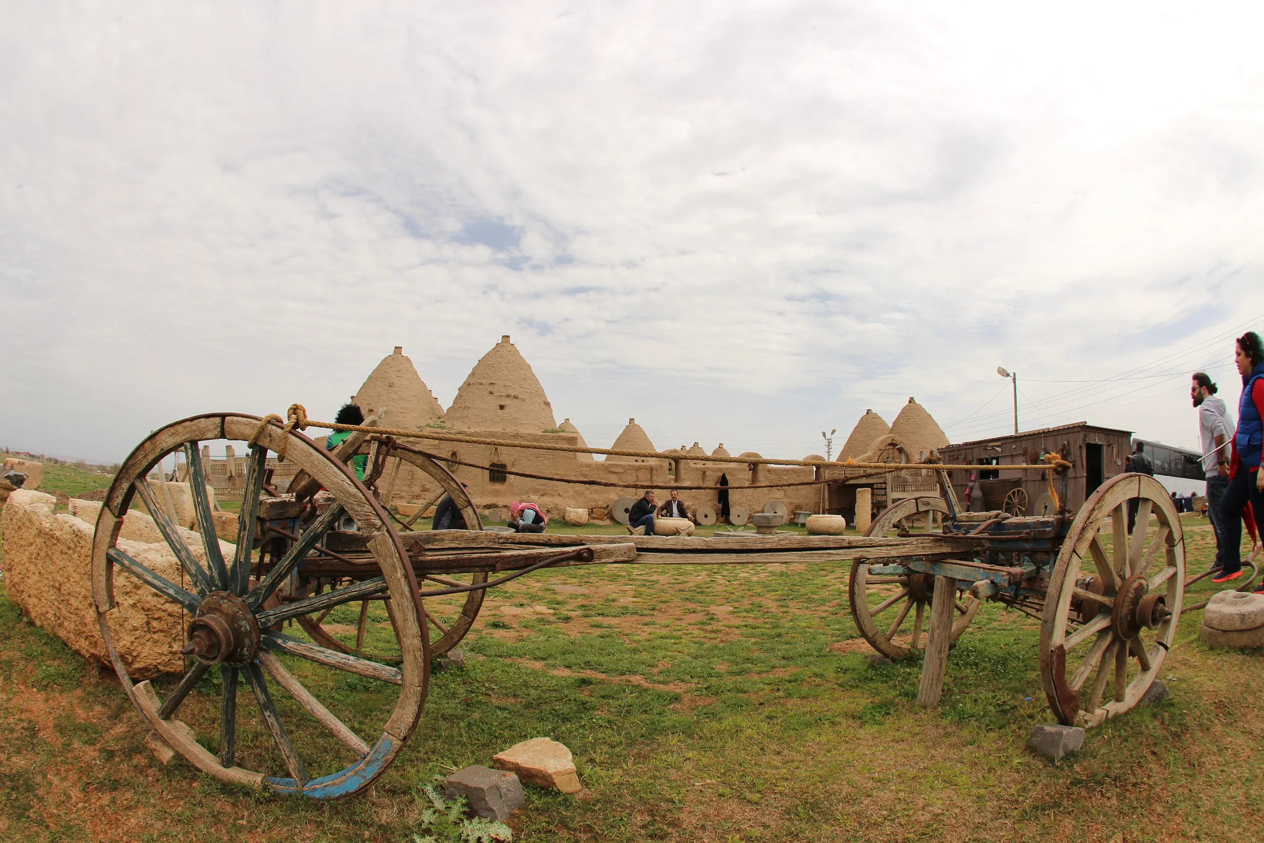
Beehive-shaped mudbrick houses can still be seen in the modern village. The ministry page says this house type has been preferred in the region since the Neolithic, that the Harran examples are thought to be around two centuries old, and that the thick domes keep rooms cool in summer and warm in winter. A family can enlarge a house by adding dome units. The Culture Portal lists these dwellings together with the mound, castle and walls, and with the architectural remains of a mosque and a university.
Excavations
The Art-Sanat article divides work at Harran into four phases. David S. Rice dug for the British Institute of Archaeology from 1951 to 1959 and drew up a topographic plan of the city. From 1983 to 2011 Nurettin Yardımcı worked for the Ministry of Culture, concentrating on the mound and the Great Mosque and finding Zengid and Ayyubid houses and streets. In 2012-2013 the Şanlıurfa Archaeological Museum carried out restoration-focused work, and since 2014 Mehmet Önal has led the dig for Harran University. These campaigns uncovered a market bath, the Eastern Market, a vaulted street market, public latrines and a musk-seller's shop.
UNESCO and visiting
The Culture Portal states that Harran and the Şanlıurfa Settlements have been on UNESCO's Tentative List since 2000; Harran is not yet a World Heritage Site. The ministry pages give the address as İbni Teymiye neighbourhood in Harran district. Access conditions can change, so check the ministry's official page for current information.
Gallery
Frequently asked questions
Where is Harran?
What does the name Harran mean?
Why was Harran a holy city?
How long are the walls?
Who has excavated Harran?
Is Harran a UNESCO World Heritage Site?
Sources (13)
- Harran Örenyeri / Harran Archaeological Site (TR ve EN sayfalar) — T.C. Kültür ve Turizm Bakanlığı, Müzeler ve Ören Yerleri
- Harran Ören Yeri - Şanlıurfa — T.C. Kültür ve Turizm Bakanlığı, Türkiye Kültür Portalı
- Harran (Pleiades place 658427) — Pleiades
- Harran Kazılarında Bulunan Cam Bilezikler (2013-2023), Aslan ve Ölçer, Art-Sanat 23, 2025 — İstanbul Üniversitesi, Art-Sanat (DergiPark)
Photo credits
- Photo: Dosseman, CC BY-SA 4.0 — Wikimedia Commons (resized)
- Photo: Zhengan, CC BY-SA 4.0 — Wikimedia Commons (resized)
- Photo: Hamdigumus, CC0 — Wikimedia Commons (resized)
- Photo: Vincent Vega, CC BY-SA 4.0 — Wikimedia Commons (resized)
- Photo: Vincent Vega, CC BY-SA 4.0 — Wikimedia Commons (resized)
- Photo: Vincent Vega, CC BY-SA 4.0 — Wikimedia Commons (resized)
- Photo: Vincent Vega, CC BY-SA 4.0 — Wikimedia Commons (resized)
- Photo: Vincent Vega, CC BY-SA 4.0 — Wikimedia Commons (resized)
- Photo: Vincent Vega, CC BY-SA 4.0 — Wikimedia Commons (resized)