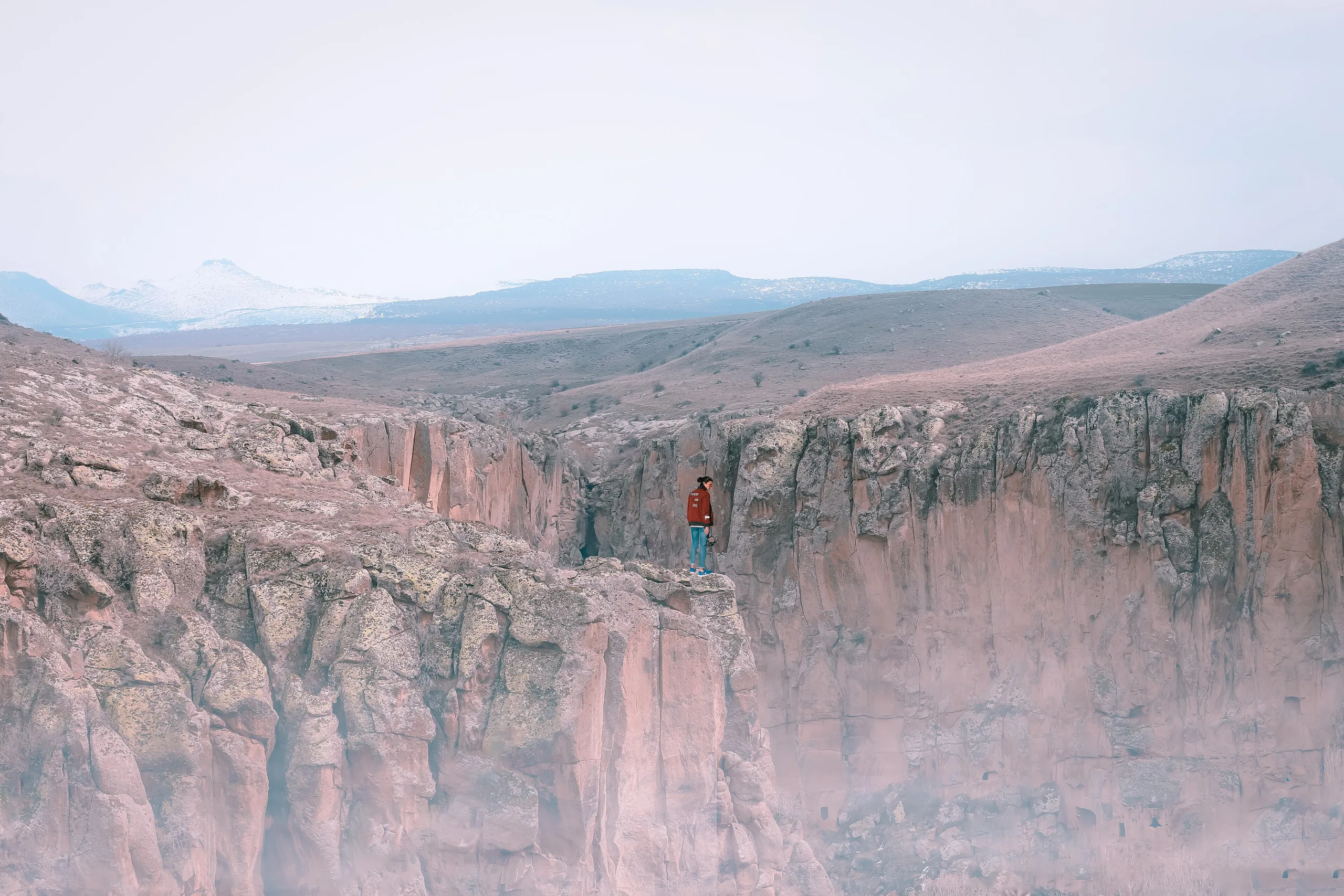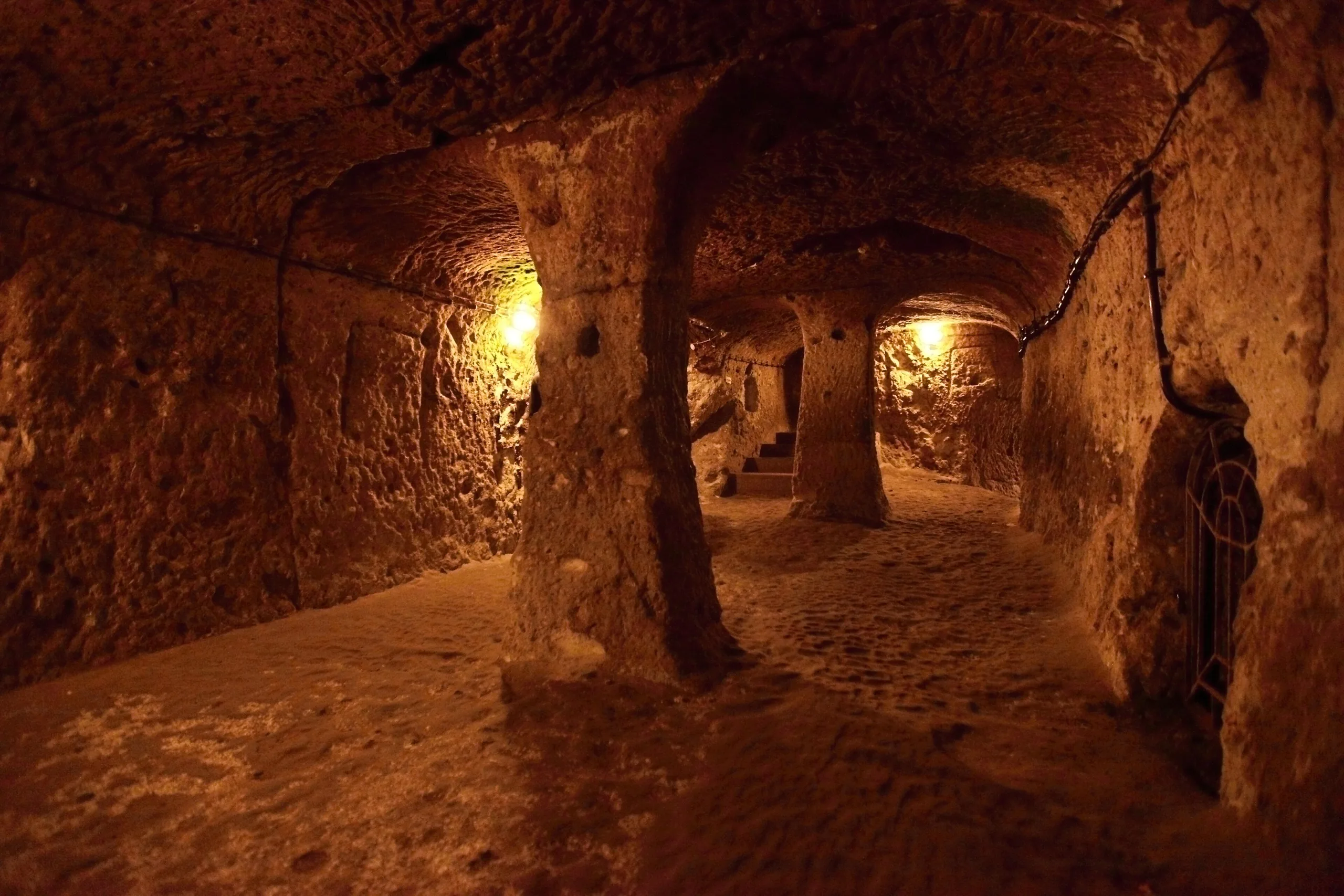
Derinkuyu is a multi-level underground city cut into Cappadocian tuff, known for its ventilation shafts, tunnels and stone cylinders; it is a UNESCO property component.
Derinkuyu Underground City is a place (Underground city) in Turkey, Nevsehir. Main periods: Byzantine Period. It was inscribed on the UNESCO World Heritage List in 1985.
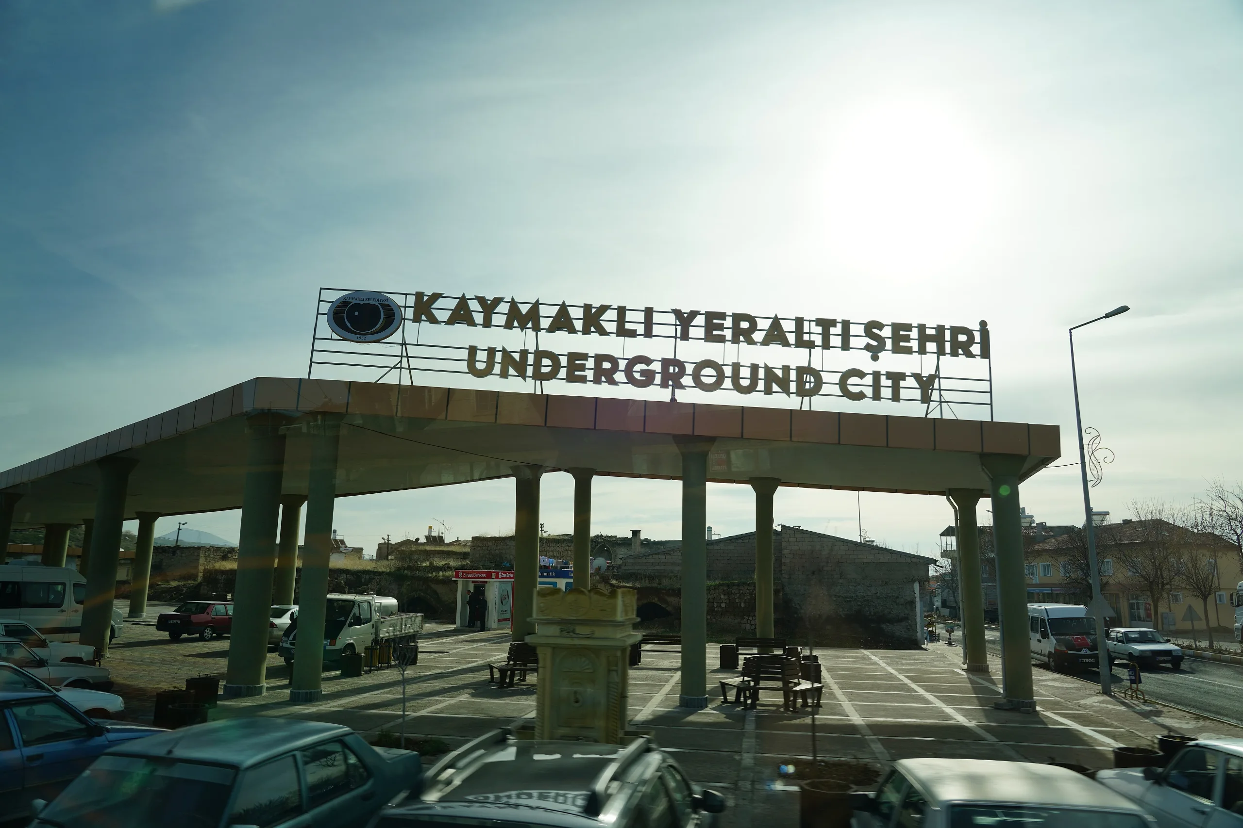
Derinkuyu Underground City is a multi-level underground settlement cut into the soft tuff of Cappadocia, in Derinkuyu district of Nevşehir province. Its spaces could house a large community and meet its needs. It is one component of the property UNESCO listed in 1985 as Göreme National Park together with other Cappadocian rock sites, and the nearby Kaymaklı Underground City is another underground component of the same property.
Location
The Ministry's Turkish page says the city lies on the Nevşehir-Niğde highway, 30 km from Nevşehir, in Derinkuyu district. Its address on the Ministry page is Bayramlı quarter, Şemşili Yolu Street no. 15, while the Culture Portal gives Bayramlı, Niğde Street. The coordinate used here comes from Wikidata.
History
The Ministry says the first inhabitants of Derinkuyu go back to the Assyrian colonies. It also says that in the 2nd century Christians fleeing Roman oppression reached Cappadocia by way of Antioch and Kayseri and settled here, hiding in cities whose entrances were hard to notice so as to escape Roman soldiers. UNESCO frames the same structures differently: it says anchorite communities that moved into rock-cut cells in the 4th century, following Basil, later gathered in villages and in underground towns such as Kaymaklı and Derinkuyu to resist Arab raids. The two accounts agree that the towns served as refuges but differ about the cause and the date, so both are cited.
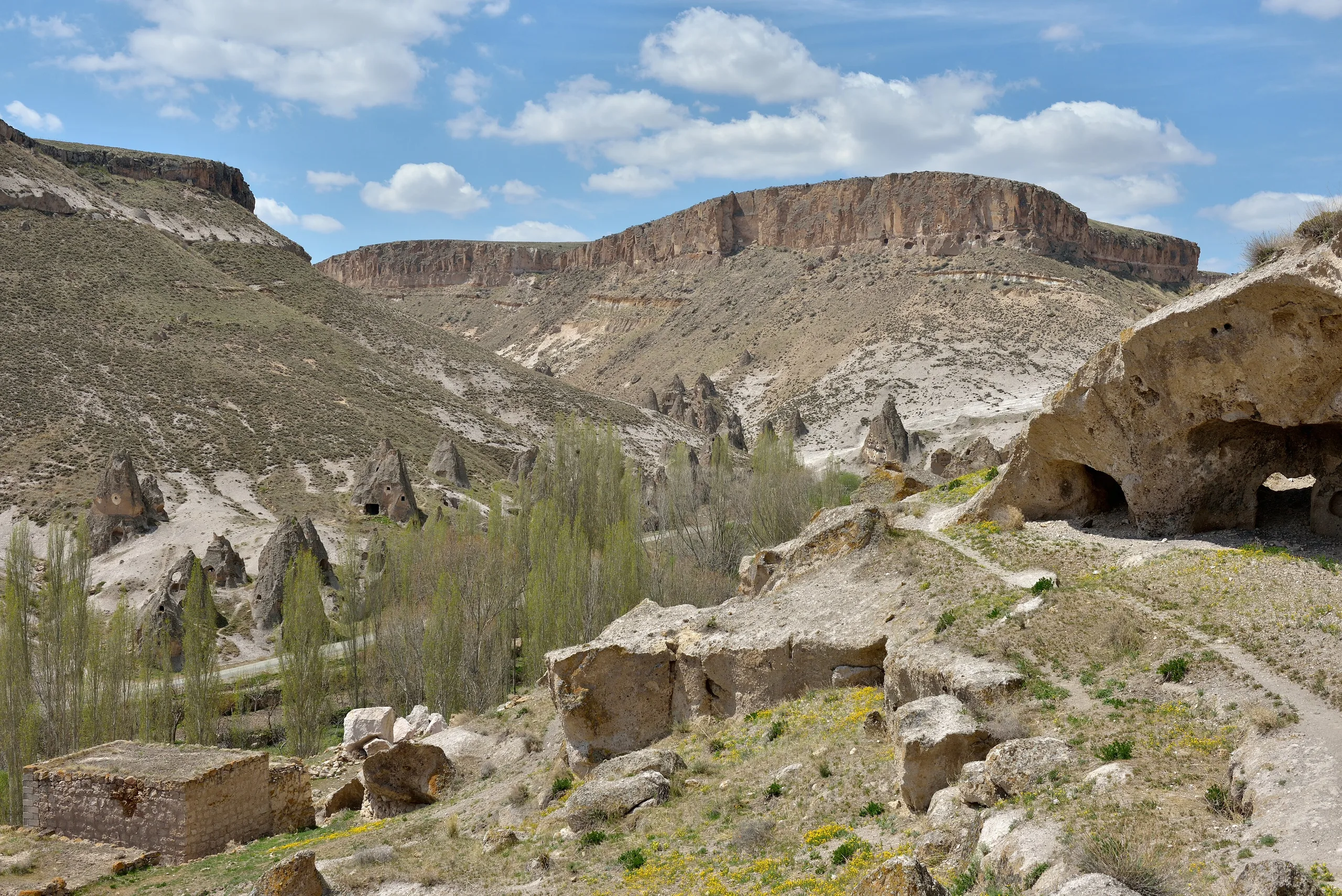
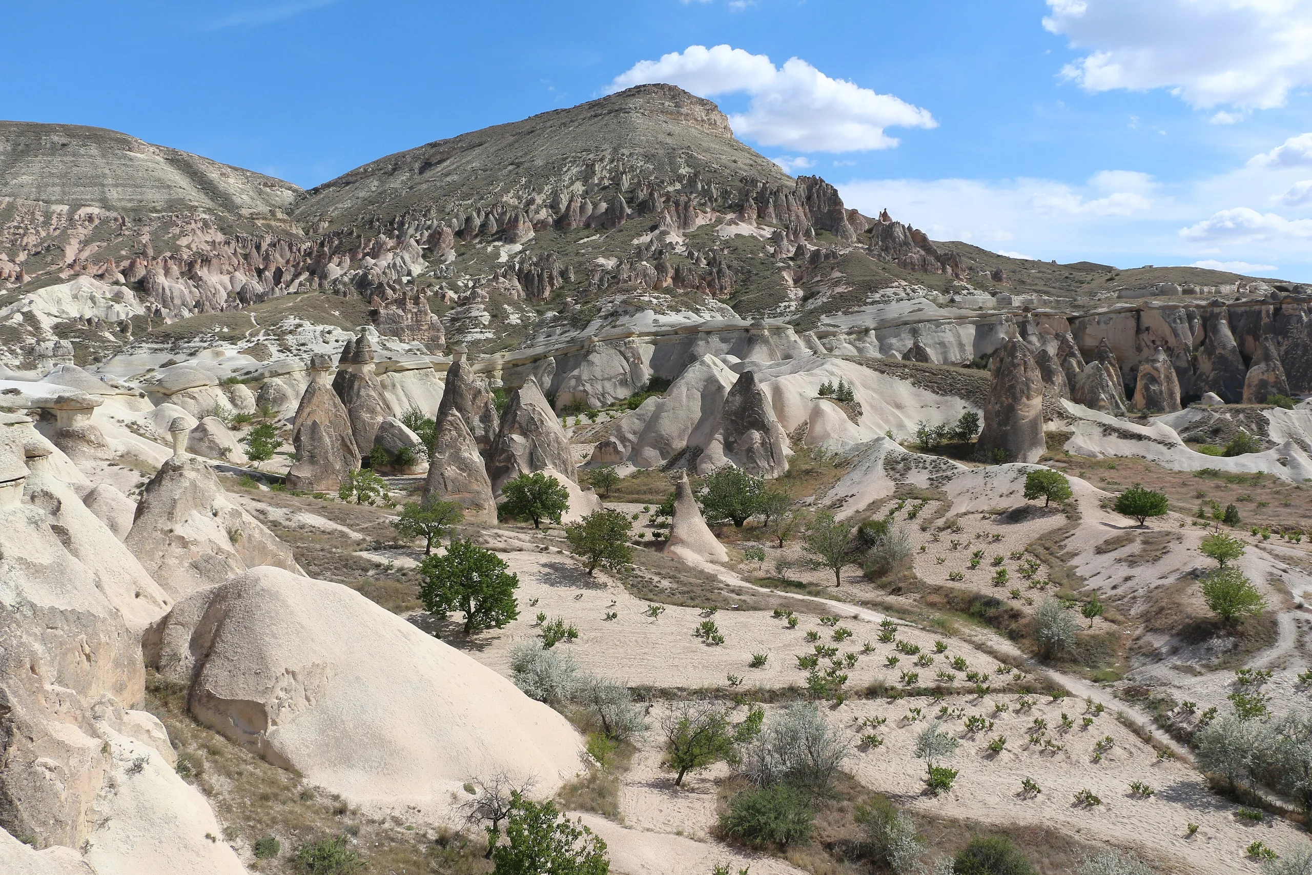
The Ministry's English page estimates that Cappadocia has between 150 and 200 underground settlements of various sizes, most made by carving down into soft tuff. They were built to offer a safe refuge in case of threat or attack, and they were also favoured because they stay cool in summer and warm in winter.
What can be seen
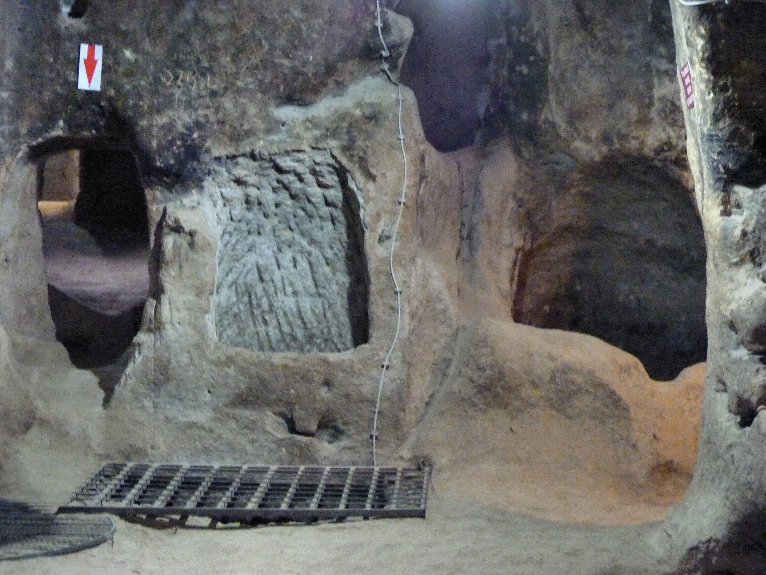
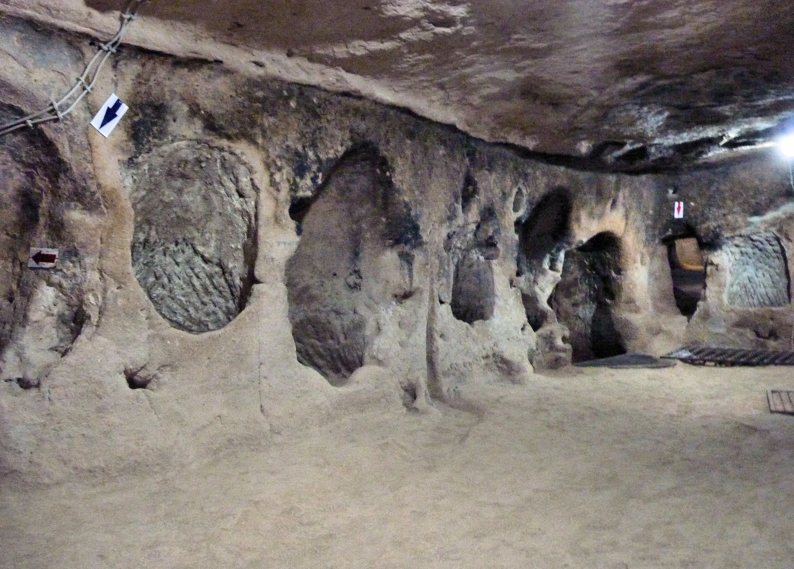
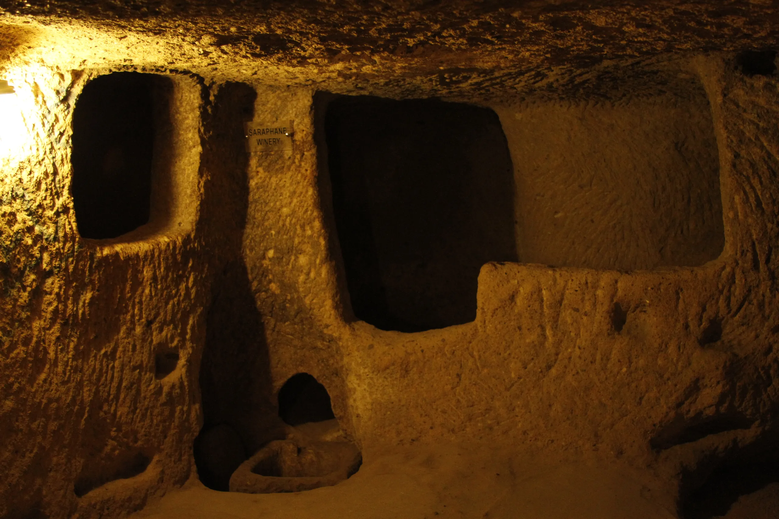
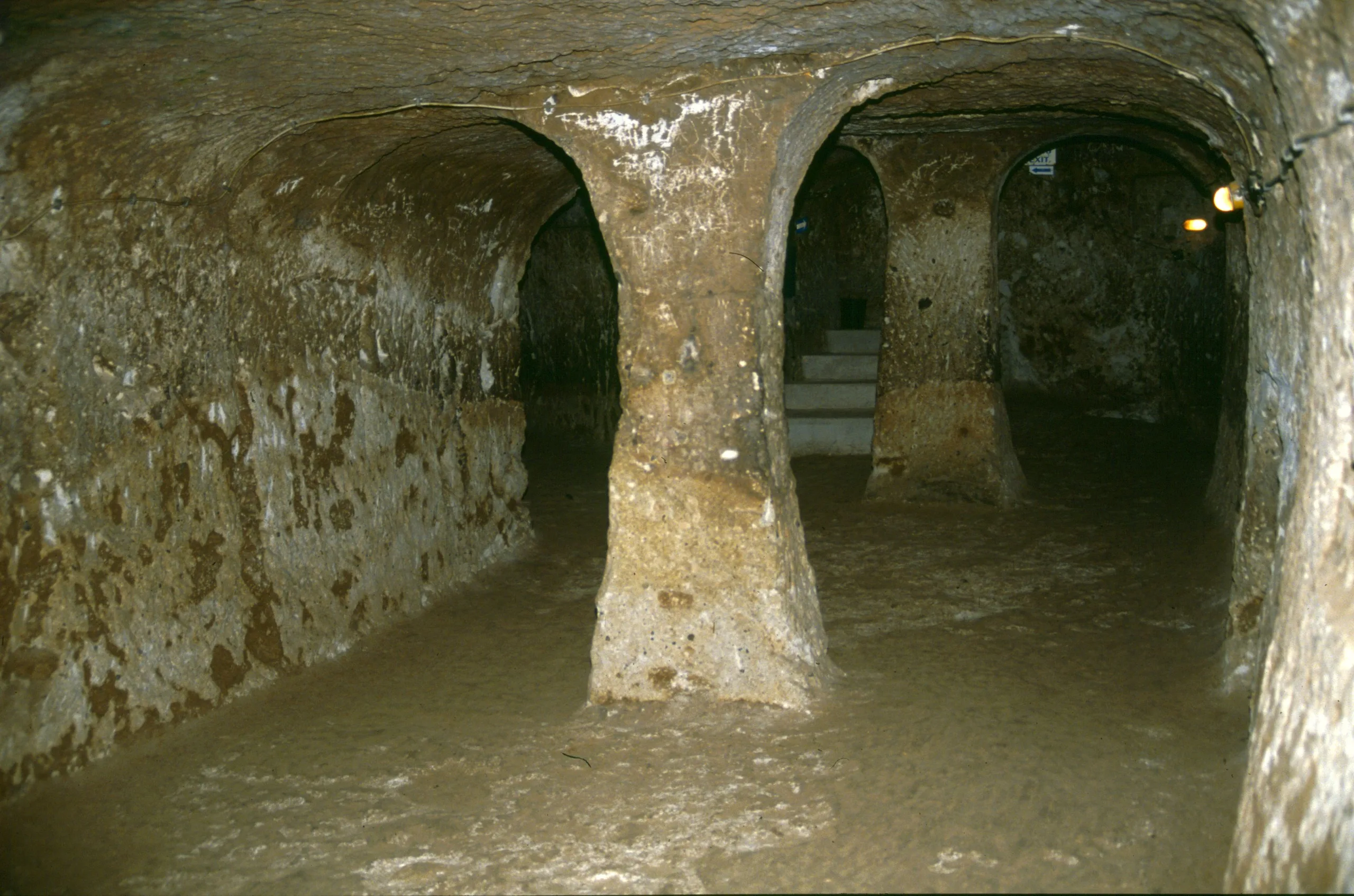
The Ministry's Turkish page and the Culture Portal describe Derinkuyu as having eight floors. The English page gives no floor count and says the city reaches a depth of about 85 m. These do not directly contradict one another, but they are not the same measure, so each is reported separately. Inside are animal stalls, storage cellars, refectories, churches and a spot where molasses was boiled. According to the Turkish page, unlike Kaymaklı it has a missionary school, a confession place and a baptismal pool, while the English page places the missionary school on the second floor.
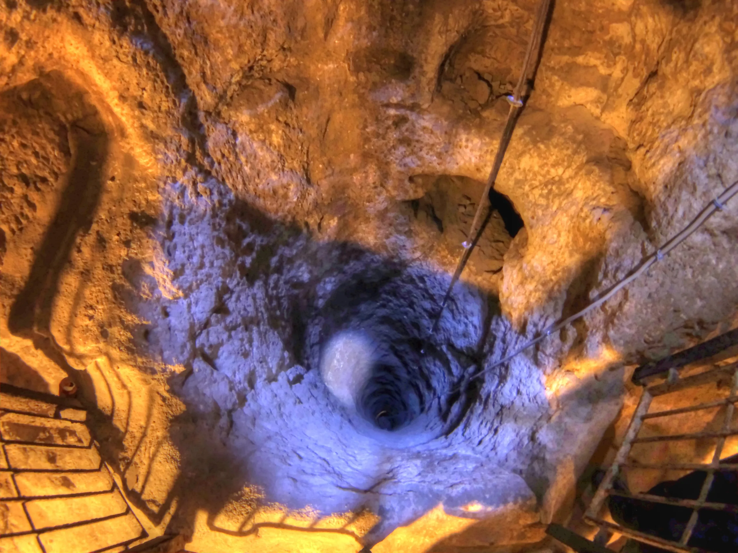
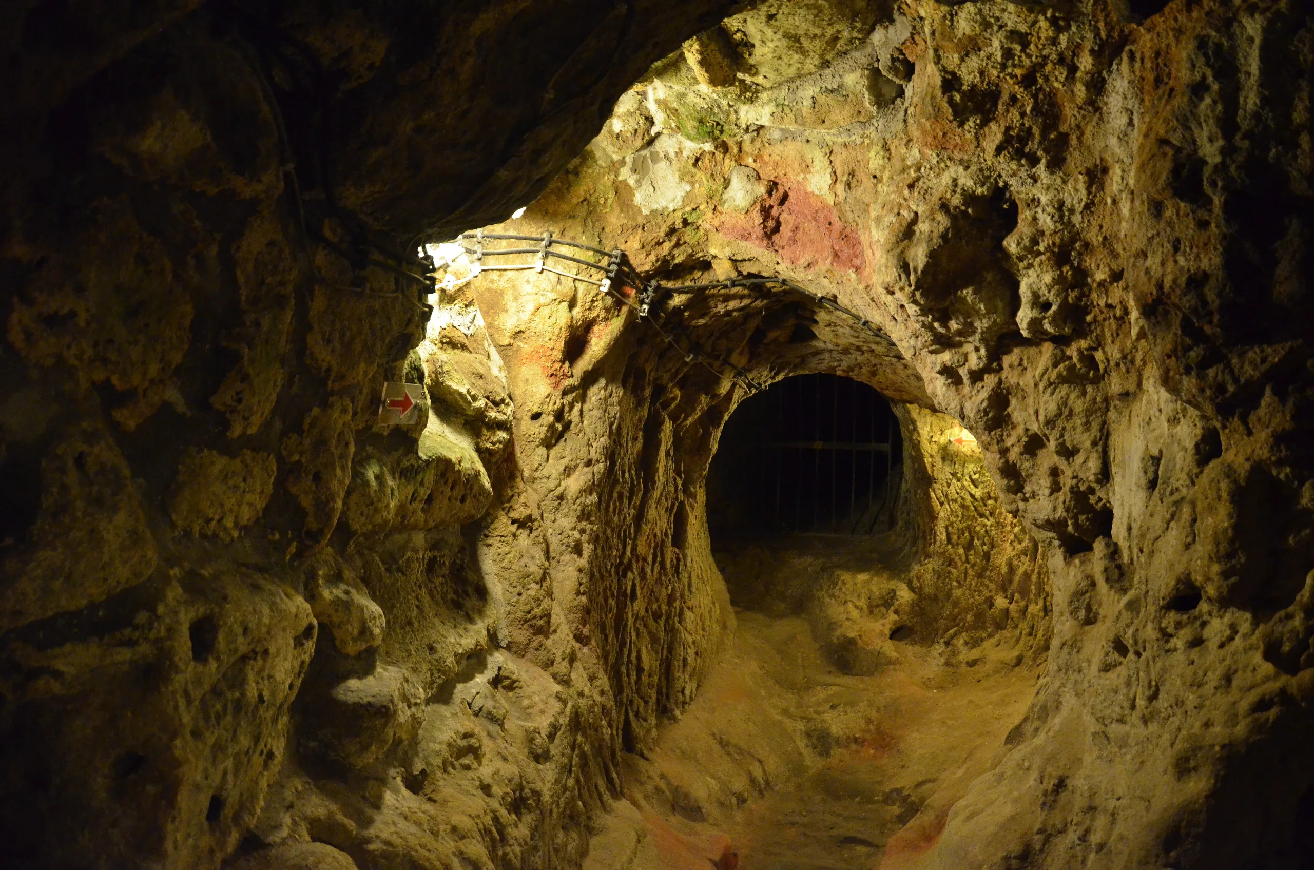
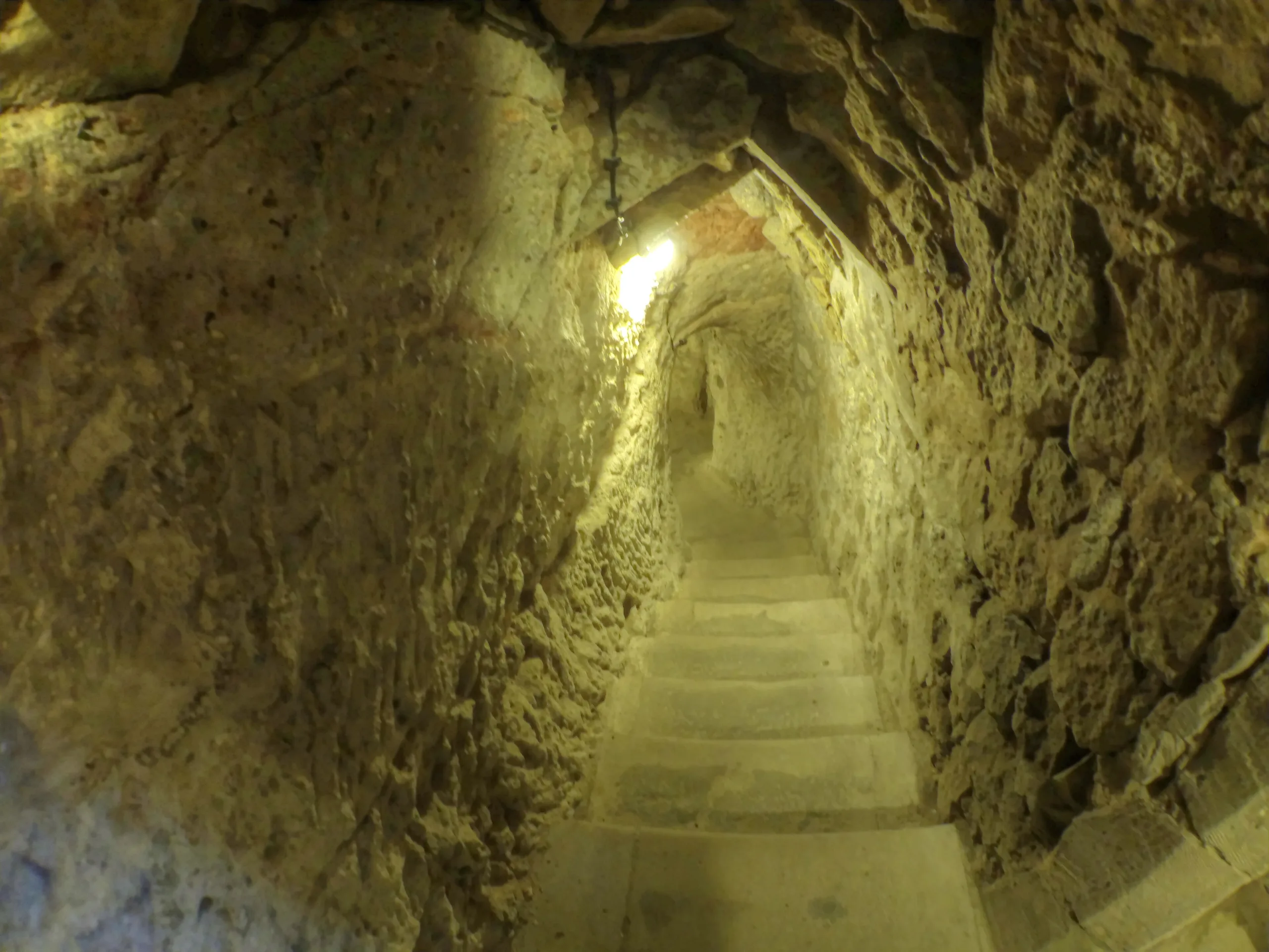
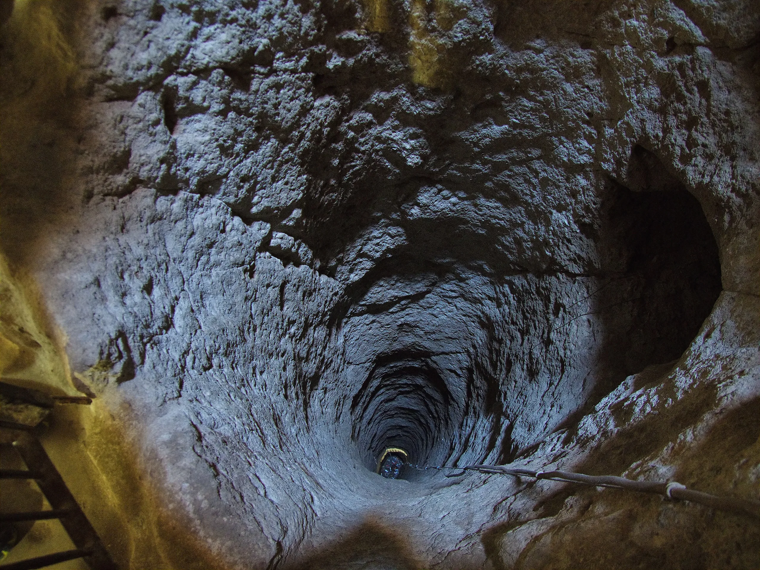
A ventilation shaft 55 m deep that reaches the surface also serves as a water well (Ministry, English page). The first floors cut in underground cities are the entrance levels, mostly used as stables because it was hard to bring animals down. Kitchens and the şırahane, where local grapes were turned into wine or molasses, were placed on upper floors so that produce was easy to carry. The number of kitchens suggests that not every family had its own, and that they were shared; they contain tandoor ovens of the kind still used in Cappadocian villages. Some of the tunnels linking the rooms are narrow enough for only one person, and at their entrances and exits large stone cylinders were used to shut them for security.
World Heritage status
Derinkuyu and Kaymaklı are components of the mixed property inscribed in 1985 (reference 357) under criteria (i), (iii), (v) and (vii). In its 1985 evaluation ICOMOS recommended that the two underground cities be included in the property above all. UNESCO notes that the two underground towns are entered on the register of monuments and sites and that facilities to help understanding have been completed for both. The whole property covers 9,883.81 ha.
Visiting
The Ministry's English page says the underground city opened to the public in 1965 and that only about ten percent of it can be visited today; the Culture Portal gives the same information. The Ministry's Turkish page states that MüzeKart is valid for Turkish citizens. Hours and fees change, so check the official page.
Gallery
Frequently asked questions
Where is Derinkuyu Underground City?
How many floors does Derinkuyu have?
Who dug Derinkuyu, and why?
How does Derinkuyu differ from Kaymaklı?
How much of Derinkuyu can be visited?
Is Derinkuyu a World Heritage site?
How were the underground cities secured?
Is MüzeKart valid at Derinkuyu?
Sources (14)
- Derinkuyu Yeraltı Şehri / Derinkuyu underground city (TR ve EN sayfaları) — T.C. Kültür ve Turizm Bakanlığı, Müzeler ve Ören Yerleri
- Derinkuyu Yeraltı Şehri - Nevşehir (Gezilecek Yerler; kaynak: muze.gov.tr) — T.C. Kültür ve Turizm Bakanlığı, Kültür Portalı
- Göreme National Park and the Rock Sites of Cappadocia (UNESCO Dünya Mirası no. 357) — UNESCO World Heritage Centre
- Advisory Body Evaluation, Göreme Valley (WHC 357) — ICOMOS, 1985
- Derinkuyu underground city (Wikidata Q1328958), P625 koordinatı — Wikidata
Photo credits
- Photo: Martin Cígler, CC BY-SA 3.0 — Wikimedia Commons (resized)
- Photo: Nevit Dilmen ( talk ), CC BY-SA 3.0 — Wikimedia Commons (resized)
- Photo: Ahmet KAYNARPUNAR, CC BY-SA 3.0 — Wikimedia Commons (resized)
- Photo: Nevit Dilmen ( talk ), CC BY-SA 3.0 — Wikimedia Commons (resized)
- Photo: Joe Wallace, CC BY-SA 2.0 — Wikimedia Commons (resized)
- Photo: Casalmaggiore Provincia, CC BY-SA 3.0 — Wikimedia Commons (resized)
- Photo: Casalmaggiore Provincia, CC BY-SA 3.0 — Wikimedia Commons (resized)
- Photo: José Luiz, CC BY-SA 3.0 — Wikimedia Commons (resized)
- Photo: Ziegler175, CC BY-SA 4.0 — Wikimedia Commons (resized)