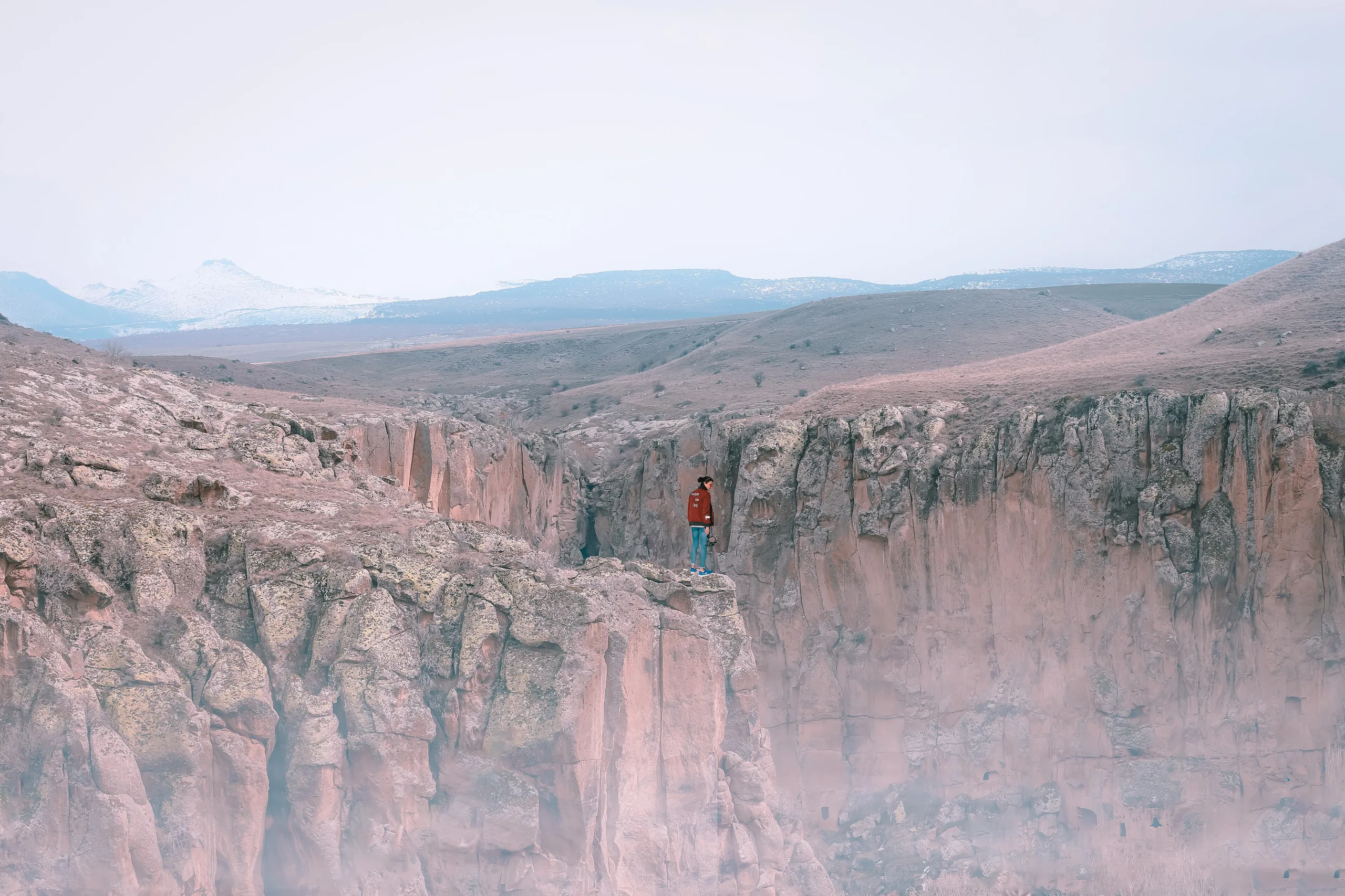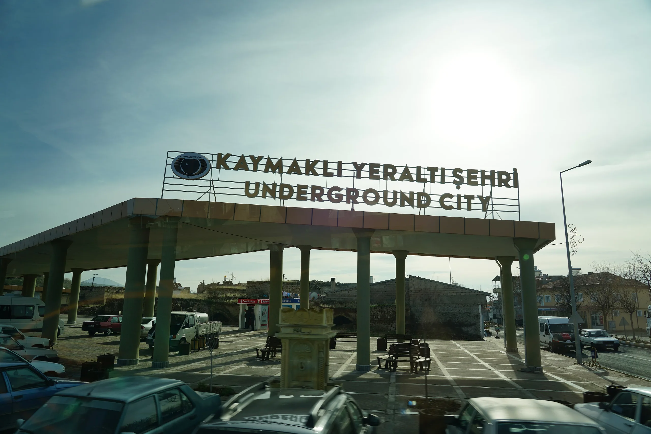
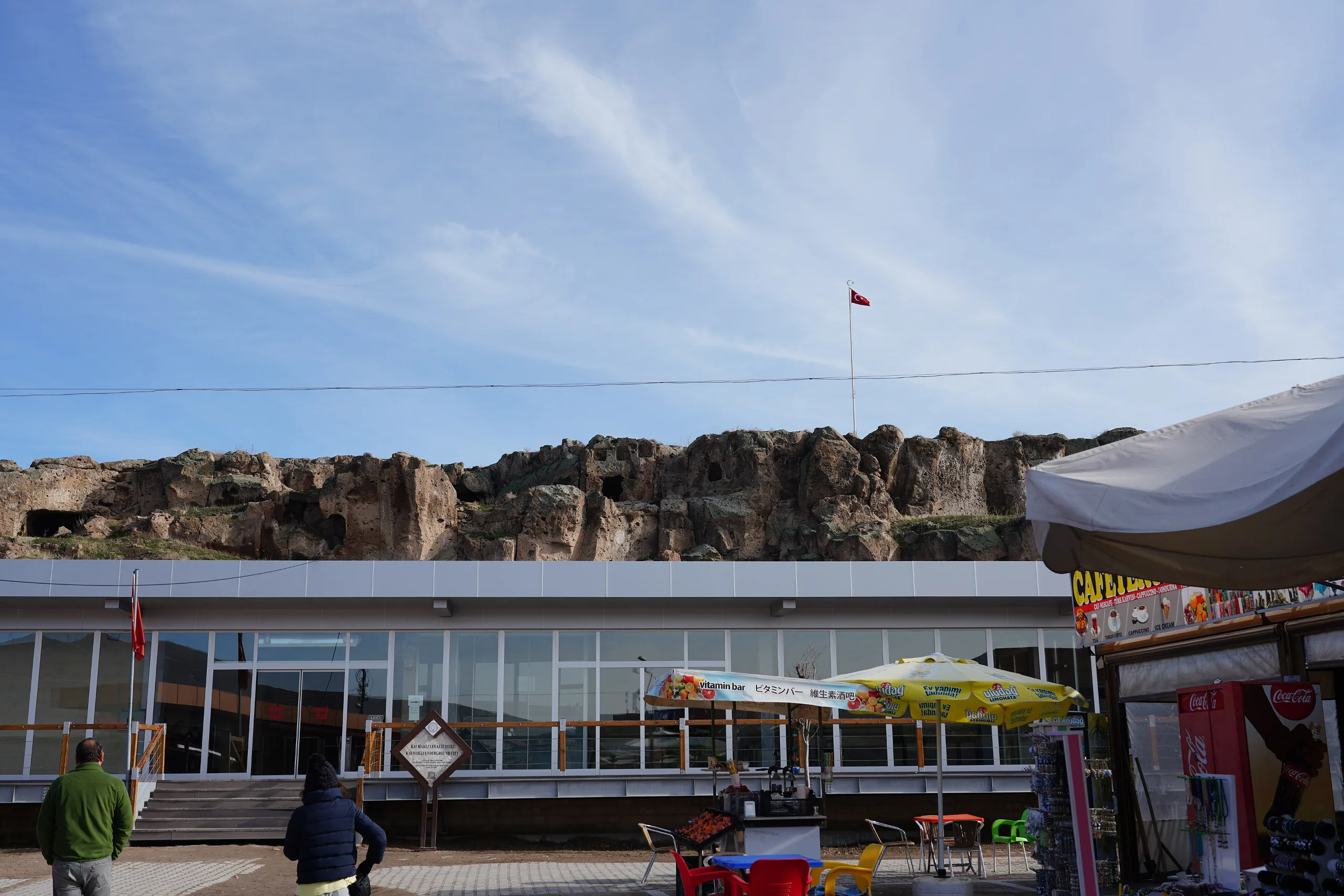
Kaymaklı is a multi-level underground city cut into Cappadocian tuff, known for low narrow passages, a church and a stone with 57 holes; a UNESCO property component.
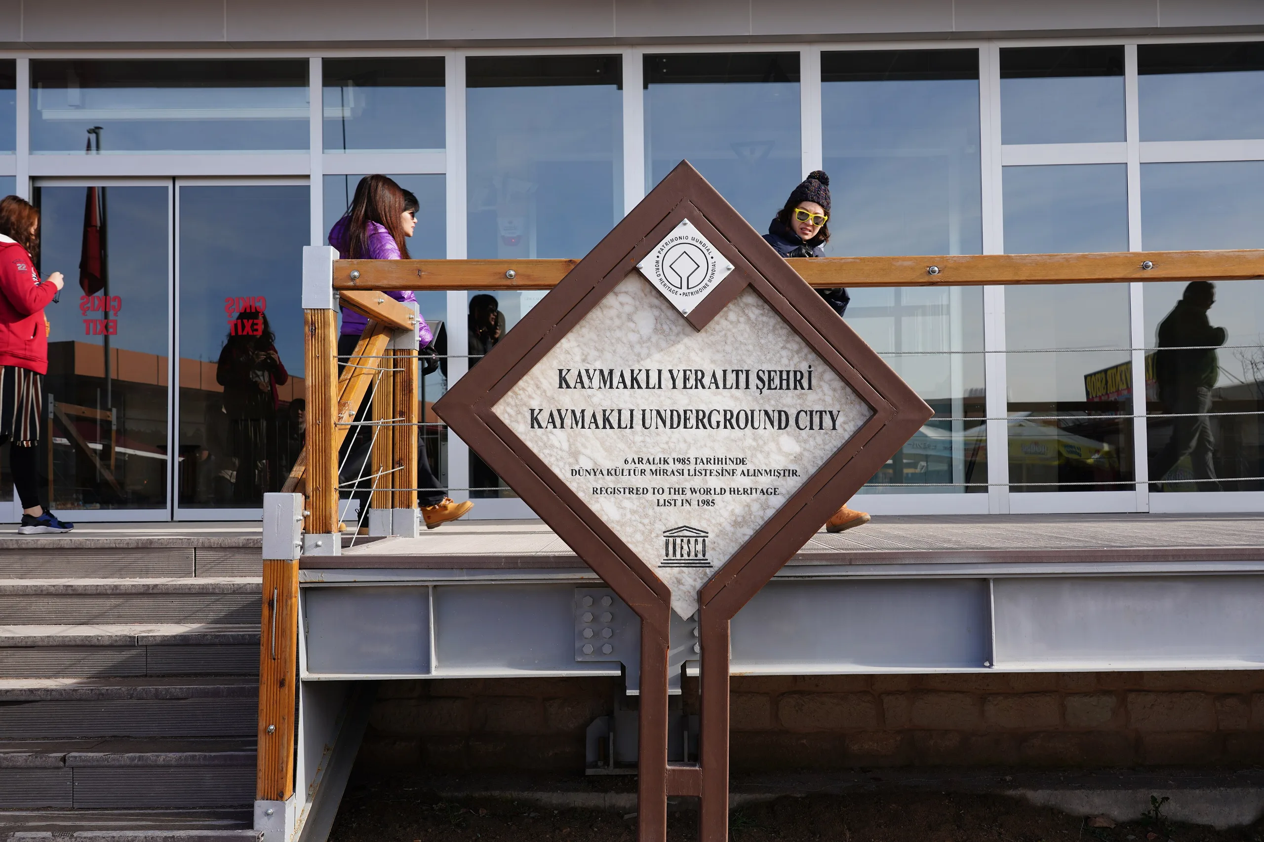
Kaymaklı Underground City is a place (Underground city) in Turkey, Nevsehir. Main periods: Roman Period, Byzantine Period. It was inscribed on the UNESCO World Heritage List in 1985.
Kaymaklı Underground City is a multi-level underground settlement cut into tuff in the town of Kaymaklı, Nevşehir province. According to the Ministry it offers every shelter condition a community would need to live there temporarily. It is a component of the property UNESCO listed in 1985 as Göreme National Park together with other Cappadocian rock sites, and Derinkuyu Underground City is the property's other underground town.
Location
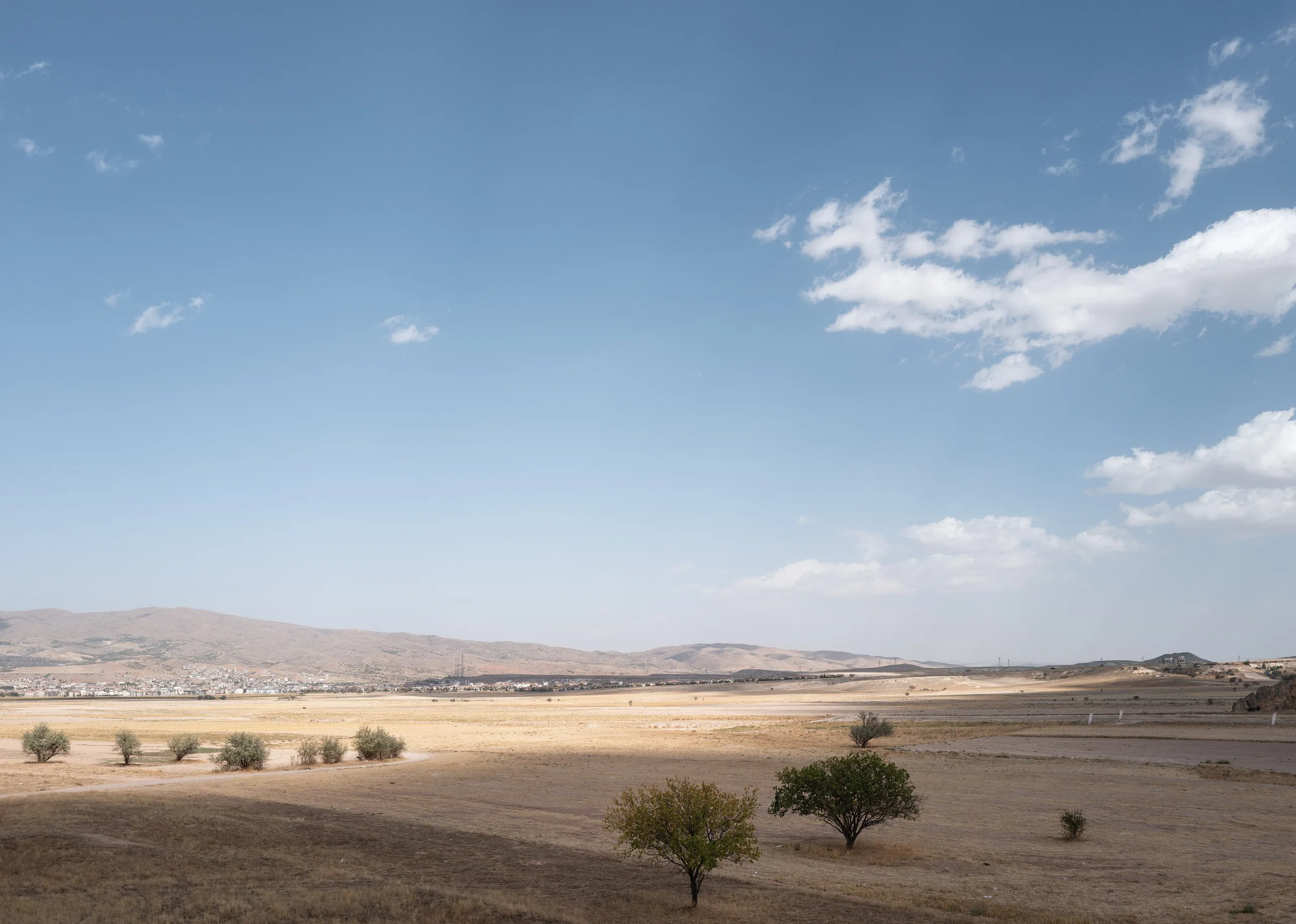
The Ministry and the Culture Portal place Kaymaklı in the town of that name, 20 km from Nevşehir. The Ministry's address is Camii Kebir quarter, Eşref Ayhan Street no. 46. The coordinate comes from Wikidata. The Ministry's English page gives the village's ancient name as Enegüp and says villagers built their homes beside a hundred or more of its tunnels; even today they pass through the tunnels and use suitable spaces as cellars, storerooms and stables.
History
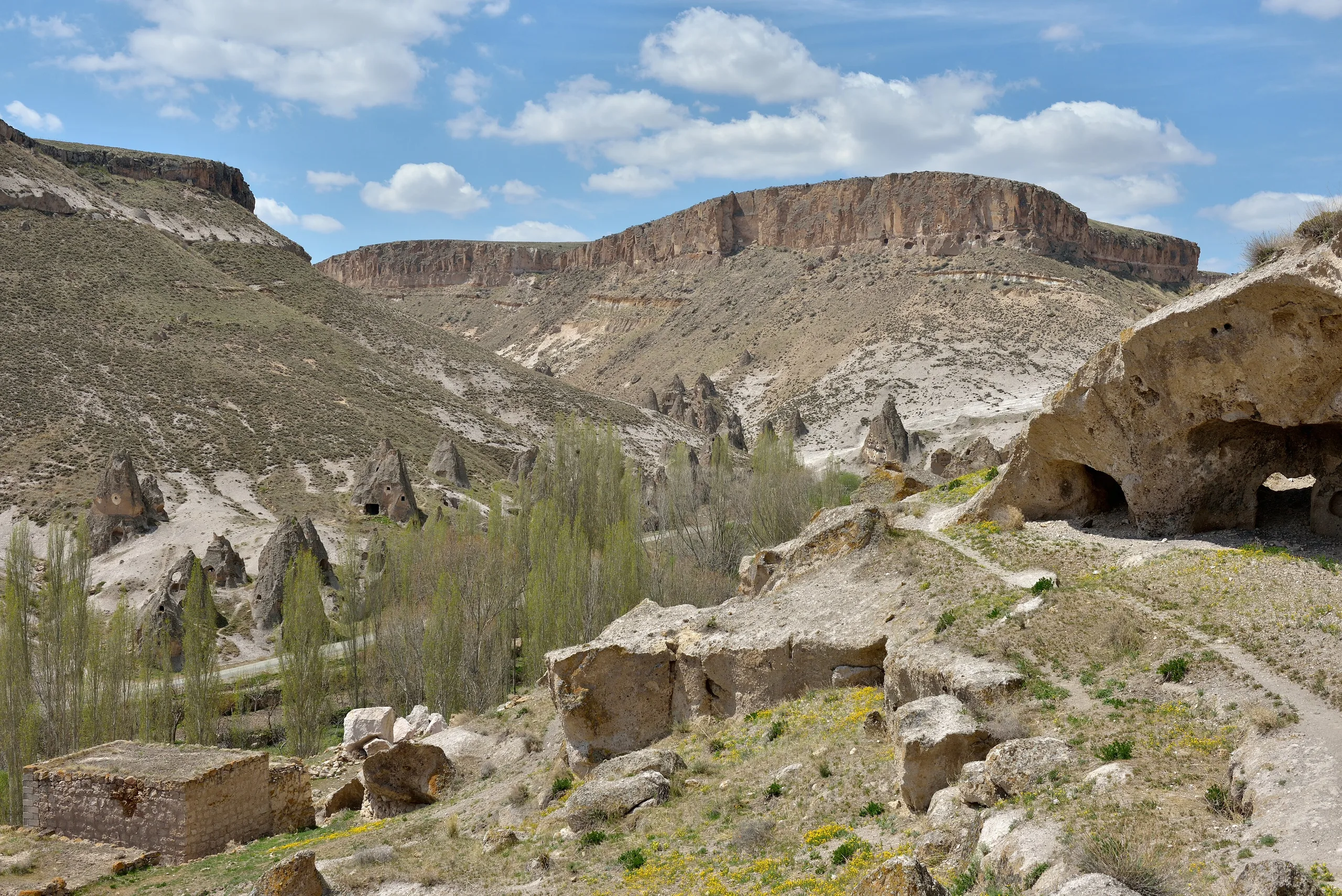
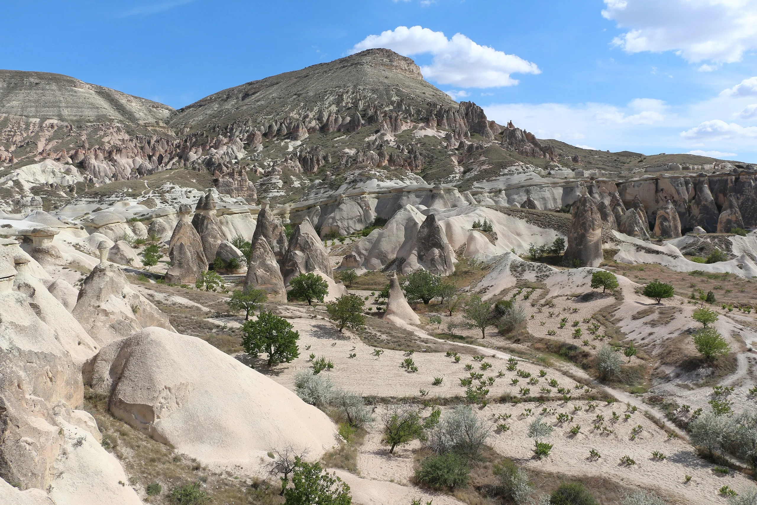
The Ministry's Turkish page states that Kaymaklı's history goes back to 3000 BC and that the city was made in the Hittite period, then enlarged in Roman and Byzantine times by carving out further areas until it became an underground city. The Culture Portal says only that its first level was built in the Hittite period. As the statements do not fully match, each is attributed. UNESCO says underground towns such as Kaymaklı and Derinkuyu served as places of refuge when anchorite communities, who had moved into rock-cut cells in the 4th century following Basil, banded together against Arab raids. According to the Ministry's English page Cappadocia has between 150 and 200 underground cities, mostly made by carving soft tuff downward, with the safety of the inhabitants as the main aim.
What can be seen
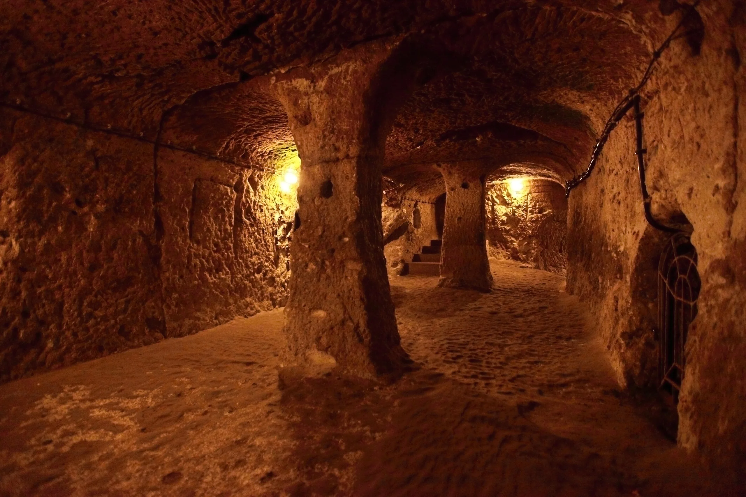
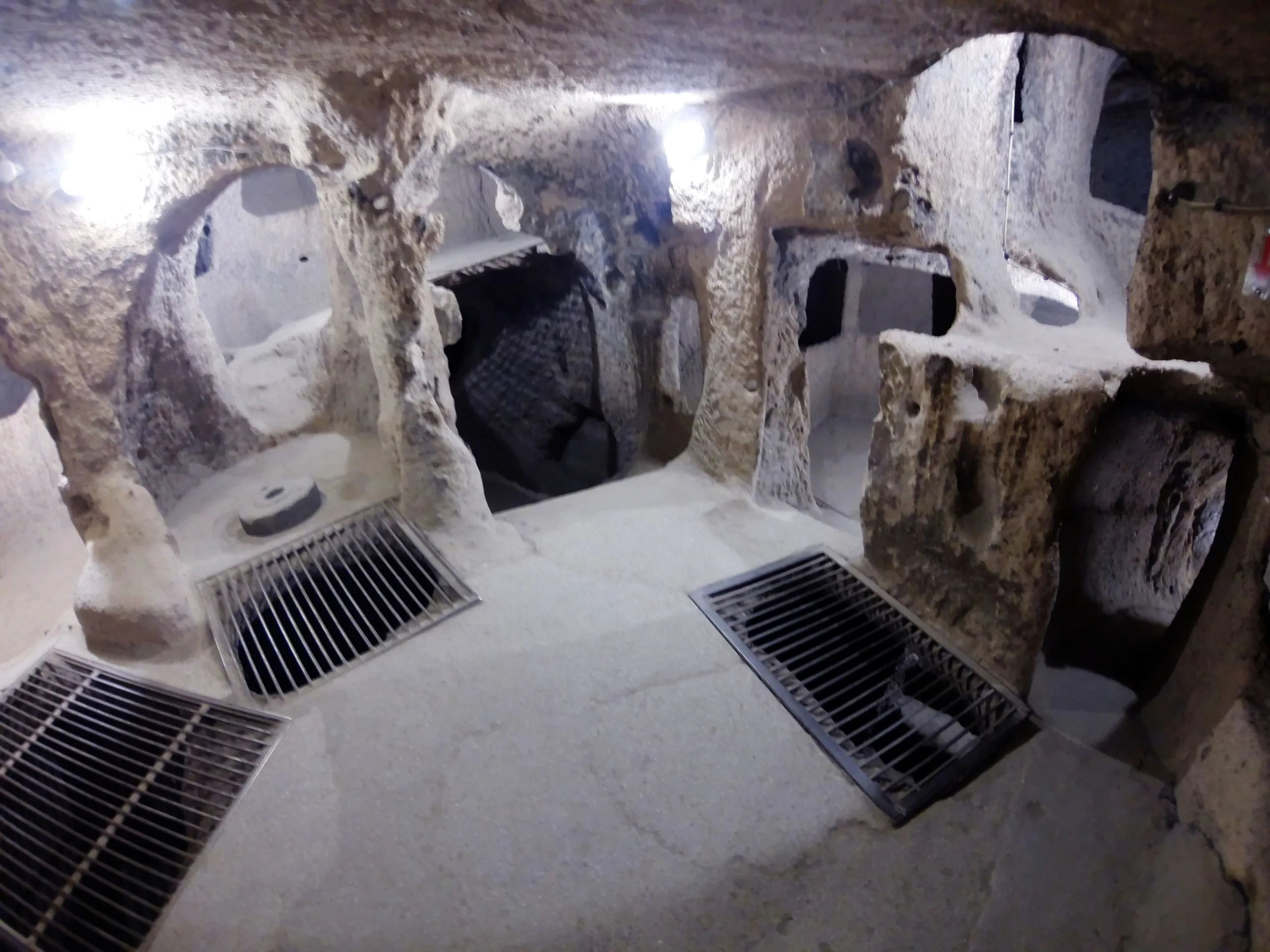
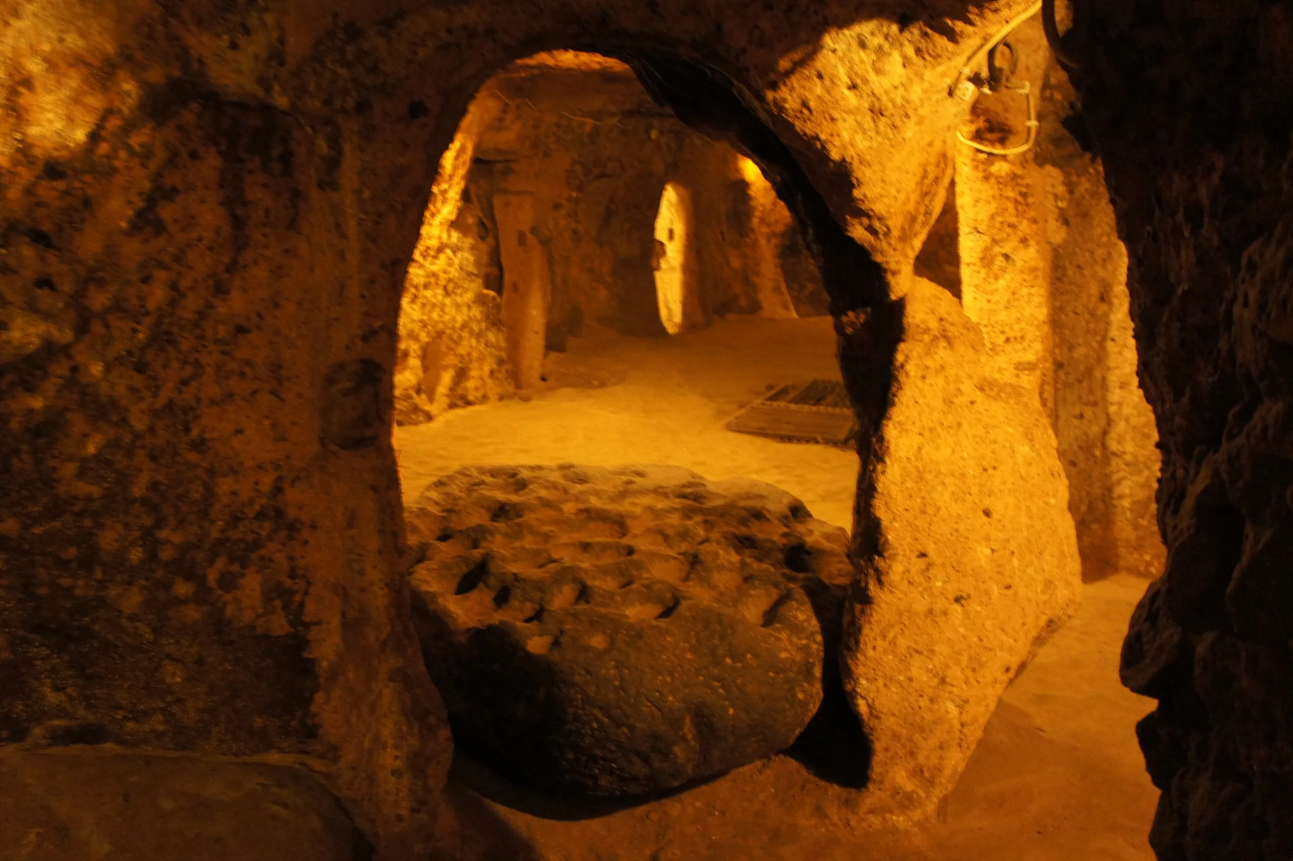
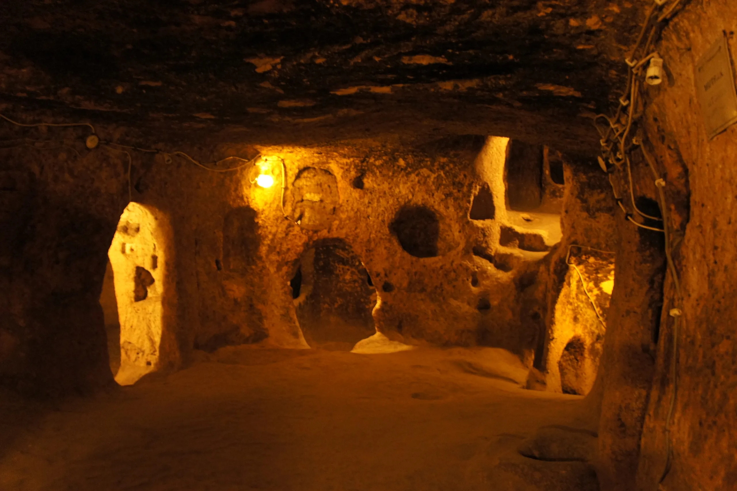
The Turkish page presents the city as eight levels deep, and the Culture Portal likewise gives eight in total. The English page, however, says four levels have been unearthed so far, with the spaces gathered around ventilation shafts, and the Culture Portal adds that four levels can be walked today. Passages are low, narrow and sloping; the English page explains that long, labyrinth-like galleries were meant to restrict an enemy's movement. The Turkish page lists rooms joined by narrow corridors, halls, wine stores, water cellars, kitchens and food stores, ventilation shafts, wells, a church, and large bolt stones that closed the door from inside.
The English page says the first level holds stables and the second a church with a single nave and two apses, an altar before the apse and seating platforms along the sides. The most significant areas are on the third level: beside many storerooms, wineries and kitchens there is a block of andesite left uncut during the digging, and 57 holes were carved into its surface for crushing and grinding. Although the whole city is not yet uncovered, Kaymaklı counts among the biggest underground settlements of the region and as the most extensive of those explored so far. The number of storerooms in so small an area supports the view that many people lived here.
World Heritage status
Kaymaklı and Derinkuyu are components of the mixed property inscribed in 1985 (reference 357) under criteria (i), (iii), (v) and (vii). In 1985 ICOMOS urged that the underground cities of Kaymaklı and Derinkuyu be included in the property above all. UNESCO notes that both are entered in the register of monuments and sites and that facilities for understanding the property have been completed for them. The whole property covers 9,883.81 ha.
Visiting
The Culture Portal records that the underground city opened to visitors in 1964. The Ministry's Turkish page states that MüzeKart is valid for Turkish citizens. Hours and fees change, so check the official page.
Gallery
Frequently asked questions
Where is Kaymaklı Underground City?
How many levels does Kaymaklı have?
When was Kaymaklı built?
What is the stone with 57 holes at Kaymaklı?
How does Kaymaklı differ from Derinkuyu?
Is Kaymaklı a World Heritage site?
When did Kaymaklı open to visitors?
Is MüzeKart valid at Kaymaklı?
Sources (14)
- Kaymaklı Yeraltı Şehri / Kaymakli Underground City (TR ve EN sayfaları) — T.C. Kültür ve Turizm Bakanlığı, Müzeler ve Ören Yerleri
- Kaymaklı Yeraltı Şehri - Nevşehir (Gezilecek Yerler; kaynak: Kapadokya Alan Başkanlığı) — T.C. Kültür ve Turizm Bakanlığı, Kültür Portalı
- Göreme National Park and the Rock Sites of Cappadocia (UNESCO Dünya Mirası no. 357) — UNESCO World Heritage Centre
- Advisory Body Evaluation, Göreme Valley (WHC 357) — ICOMOS, 1985
- Kaymakli Underground City (Wikidata Q118948370), P625 koordinatı — Wikidata
Photo credits
- Photo: Ray Swi-hymn from Sijhih-Taipei, Taiwan, CC BY-SA 2.0 — Wikimedia Commons (resized)
- Photo: Nevit Dilmen ( talk ), CC BY-SA 3.0 — Wikimedia Commons (resized)
- Photo: Ray Swi-hymn from Sijhih-Taipei, Taiwan, CC BY-SA 2.0 — Wikimedia Commons (resized)
- Photo: Ray Swi-hymn from Sijhih-Taipei, Taiwan, CC BY-SA 2.0 — Wikimedia Commons (resized)
- Photo: Ray Swi-hymn from Sijhih-Taipei, Taiwan, CC BY-SA 2.0 — Wikimedia Commons (resized)
- Photo: Ray Swi-hymn from Sijhih-Taipei, Taiwan, CC BY-SA 2.0 — Wikimedia Commons (resized)
- Photo: Ray Swi-hymn from Sijhih-Taipei, Taiwan, CC BY-SA 2.0 — Wikimedia Commons (resized)
- Photo: Gaspar Ros, CC BY-SA 3.0 — Wikimedia Commons (resized)
- Photo: Gaspar Ros, CC BY-SA 3.0 — Wikimedia Commons (resized)