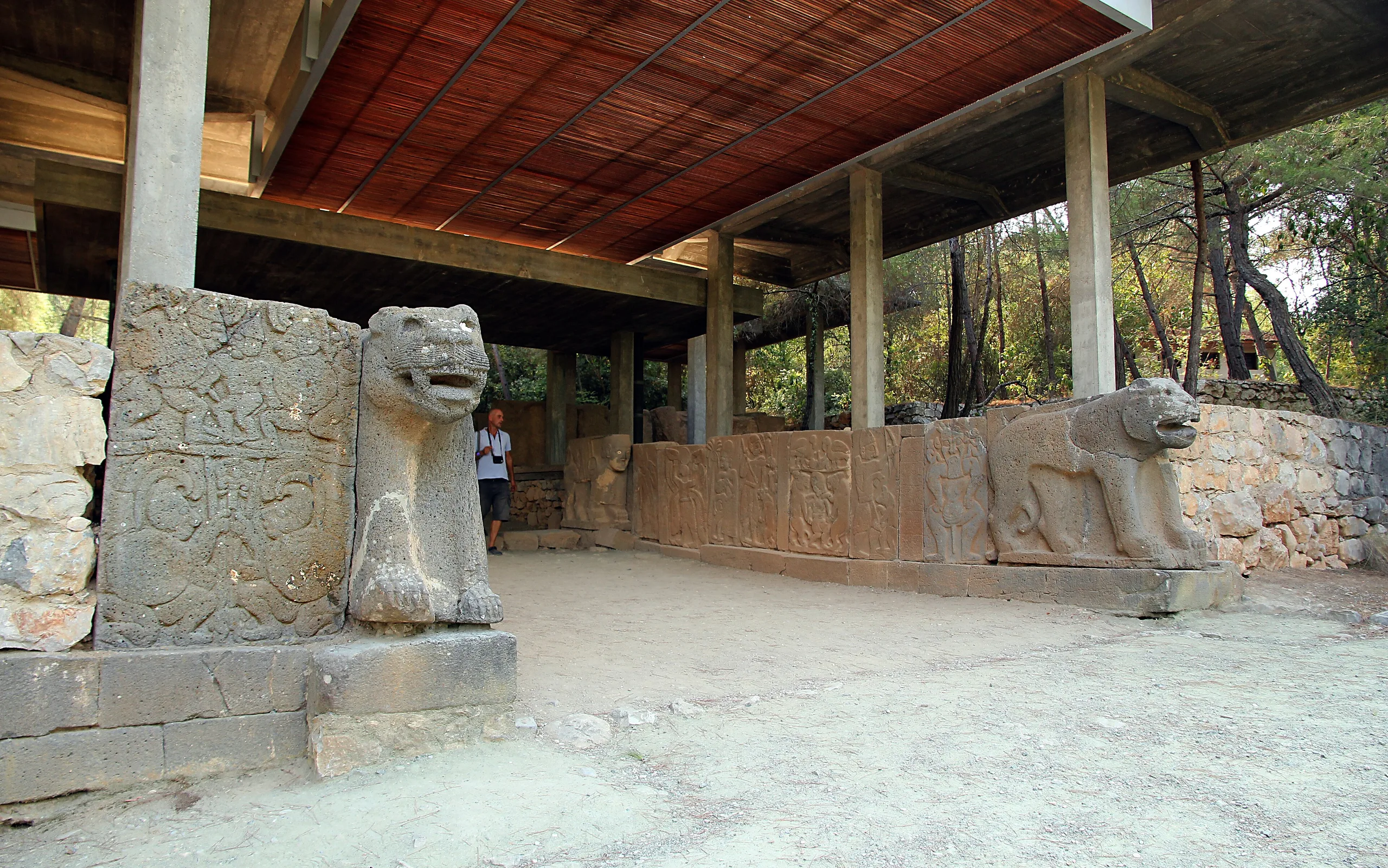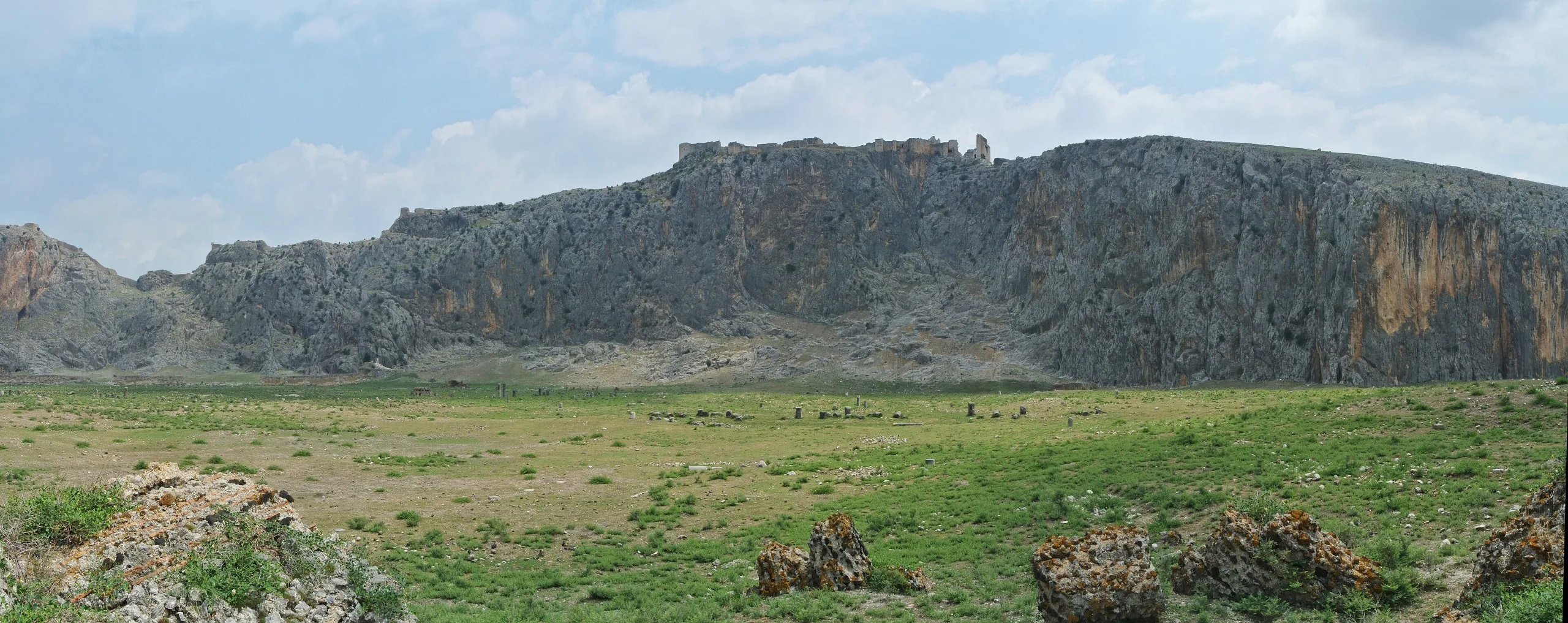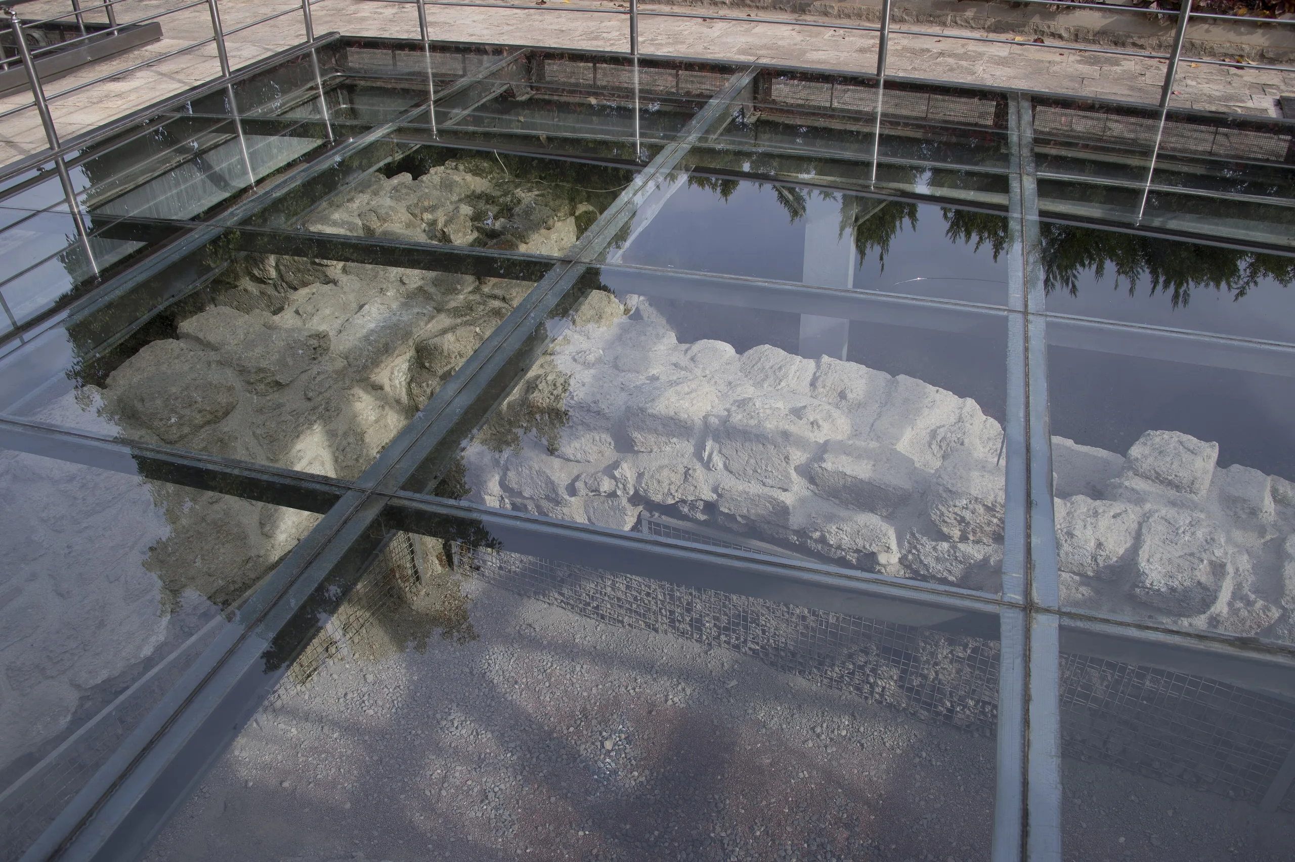
Kastabala (Castabala-Hierapolis) is a Cilician city near Osmaniye on the Ceyhan plain, known for its colonnaded street, theatre, churches and Bodrum Castle.
Castabala (Kastabala-Hierapolis) is an ancient city located in Turkey, Osmaniye. Main periods: Hellenistic Period, Roman Period, Neolithic Period, Chalcolithic Period.
Kastabala is a prominent Cilician city that commands a modest plain beside the Ceyhan (Pyramos). The Culture Portal places it about 12 km north-north-west of Osmaniye, on the Cevdetiye–Karatepe road between the villages of Kesmeburun, Bahçe and Kazmaca. Pleiades records it as Hierapolis, Kastabala and Castabala. The Ministry and the Portal agree that the city's territory took in the fertile plain stretching from the Ceyhan in the south to Karatepe in the north and the Kırmıtlı area in the west.
History
The Ministry says the earliest settlement goes back to the Neolithic, though the standing remains are Roman. The Culture Portal lists finds of the Late Neolithic to early Chalcolithic, the 5th century BCE, the 1st century BCE to 1st century CE, the 2nd century CE, the 4th-6th and the 13th-15th centuries CE, and says the results have already changed what was known of the city's past. According to the Ministry, the city first appears under the name Hierapolis on coins struck in the reign of the Seleucid king Antiochos IV Epiphanes, who chose the name, meaning sacred city, because the goddess Artemis Perasia had long been worshipped there. Kastabala was the cult centre of Artemis Perasia, a sanctuary known from ancient writers.
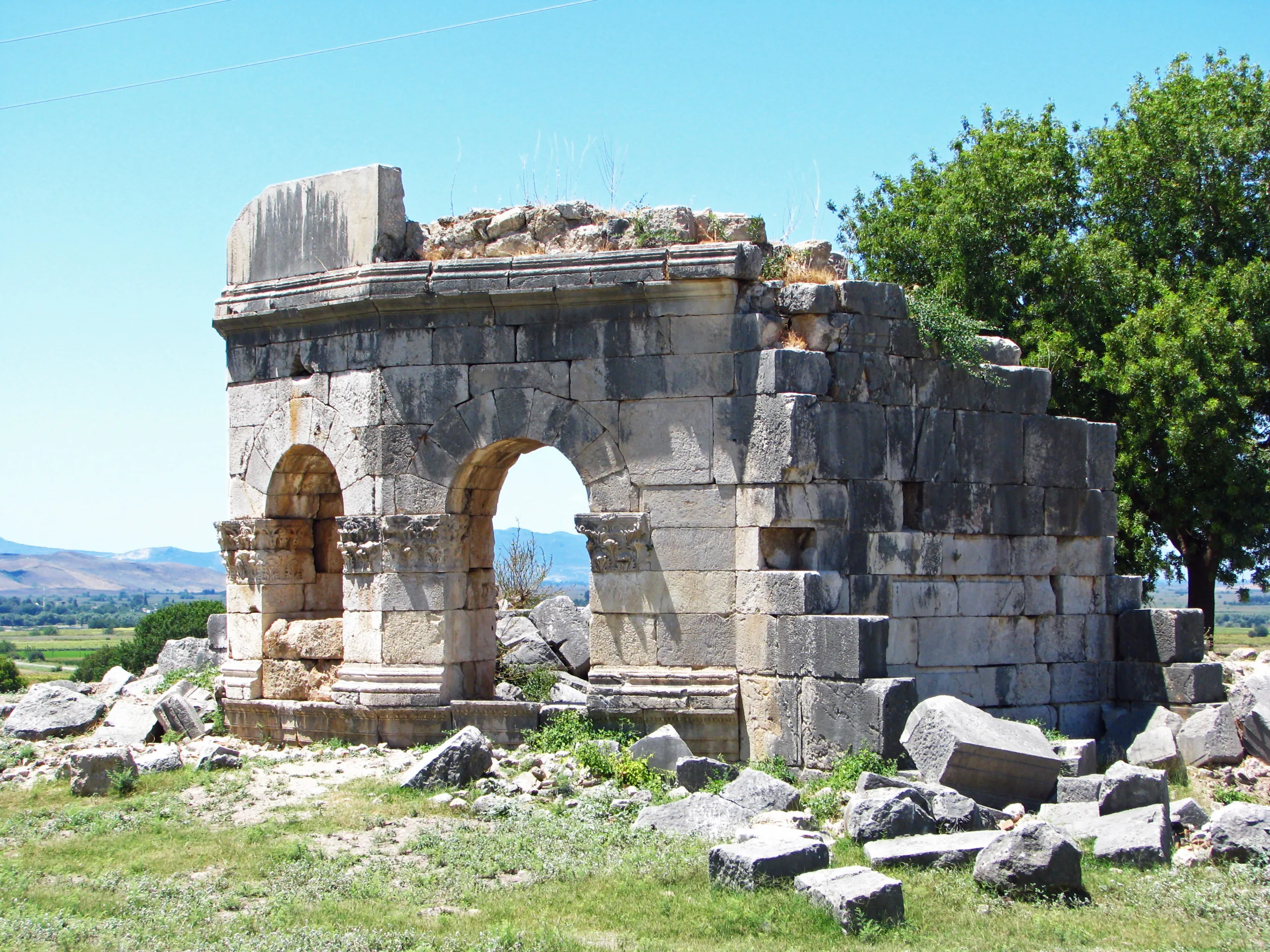
On the city wall the sources differ. The Ministry describes a city surrounded by a wall of the fourth century CE; the Portal says it had no wall in the 2nd century and that the first defences are thought to date to the late 4th century. The Portal dates the first phase of the public buildings to the Severan period, while the Ministry places the colonnaded street, theatre, baths and aqueducts in the 2nd-3rd centuries, the time of the Antonines and Severans.
City plan
The Culture Portal describes a grid-planned town laid on a slope, with the colonnaded street as its main axis and walls and vaults creating level terraces. Theatre, baths, shops and the north and south churches sit on plots that follow this layout. A passage cut into the rock at the north-eastern foot of the castle links the western and eastern housing areas, and many tombs lie on the rocky slopes around the city.
Main remains
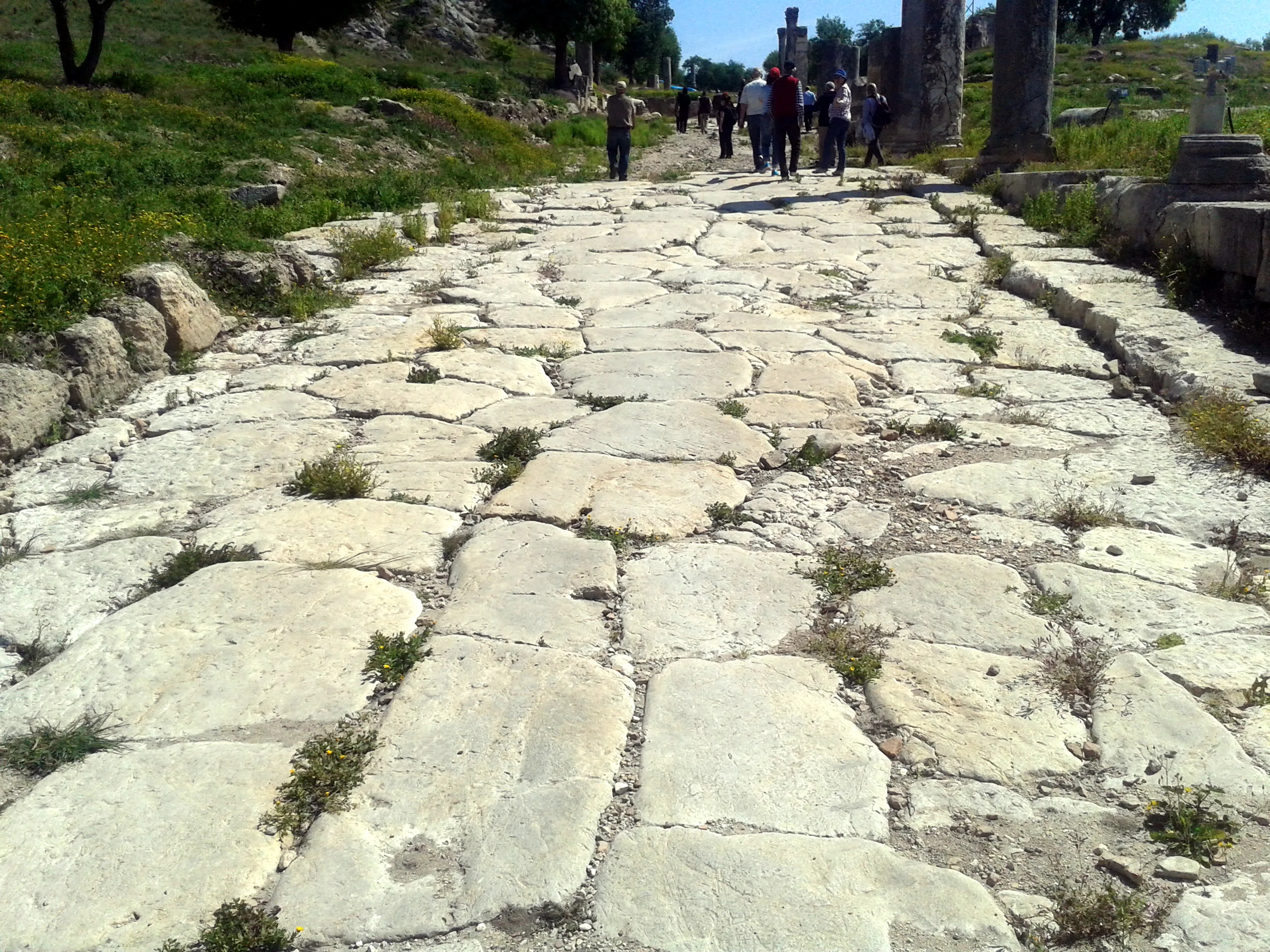
North Colonnaded Street
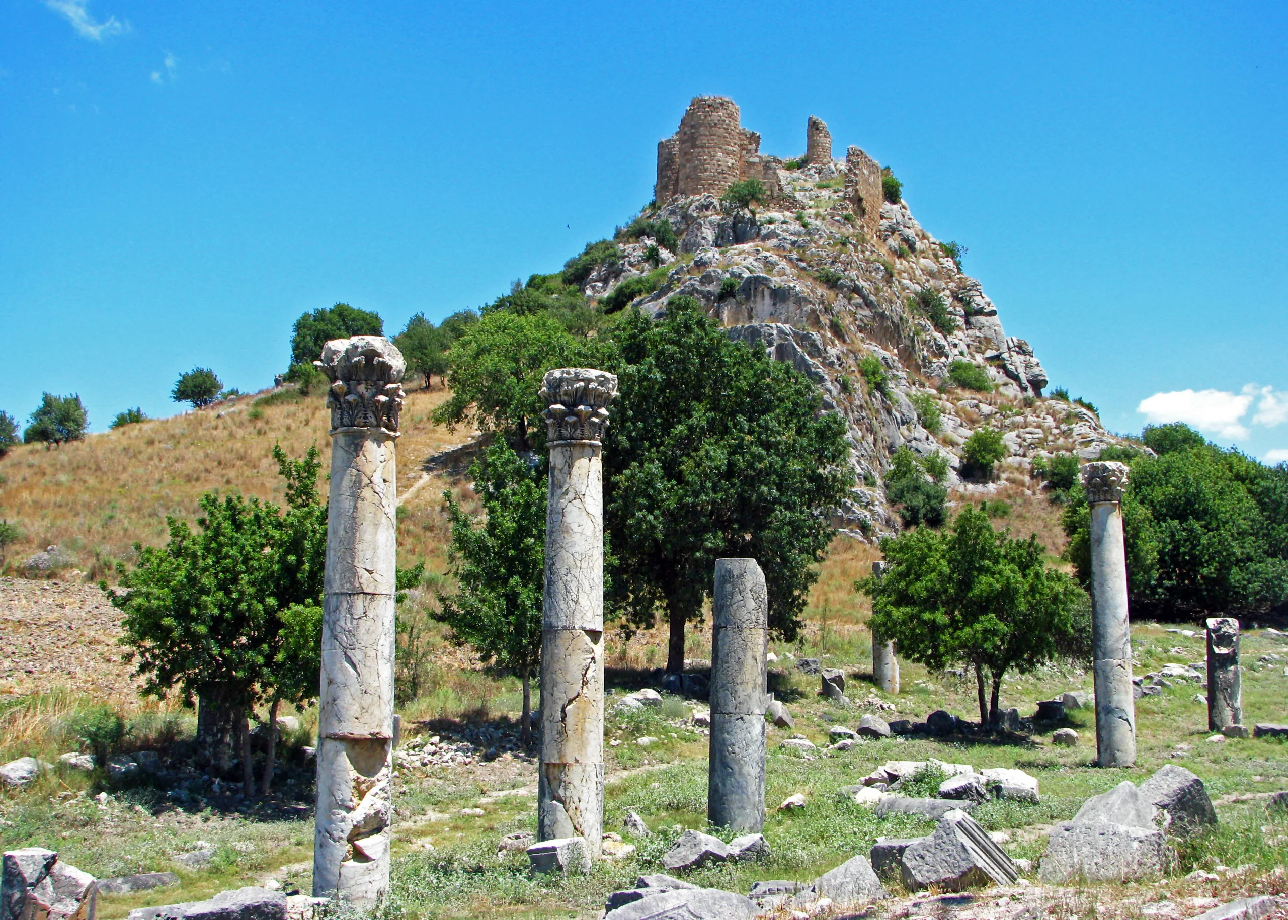
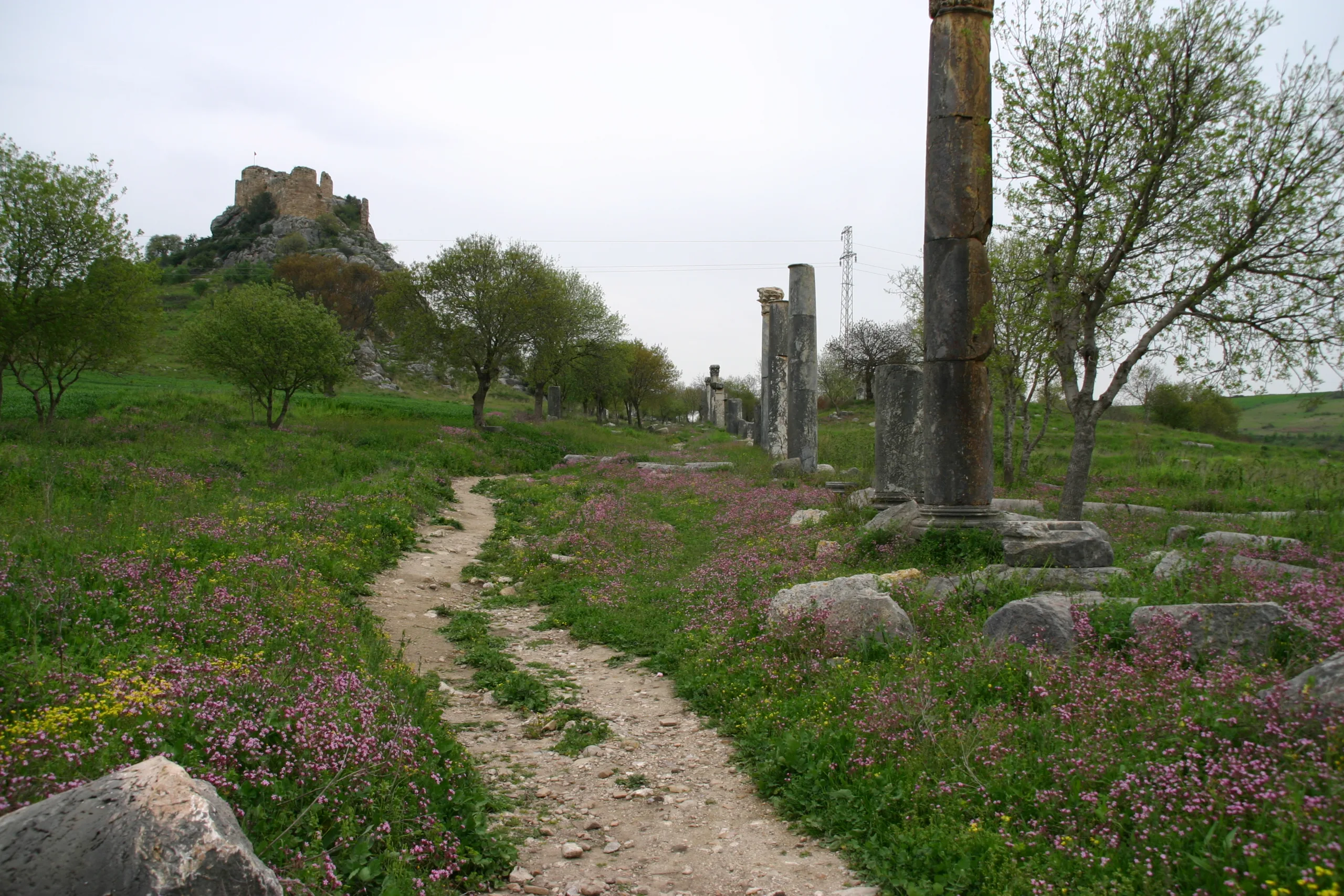
The Ministry dates the street to the 2nd century CE; it follows the slope of the north side of the valley and runs west to east. Recent digs revealed colonnaded galleries on both sides and rows of shops behind the columns, stepped to the terrain. Galleries and shops were repaired at various times from the 2nd century to the 12th-13th centuries, and in the 5th century houses replaced some shop rows, a few of them with shops facing the street.
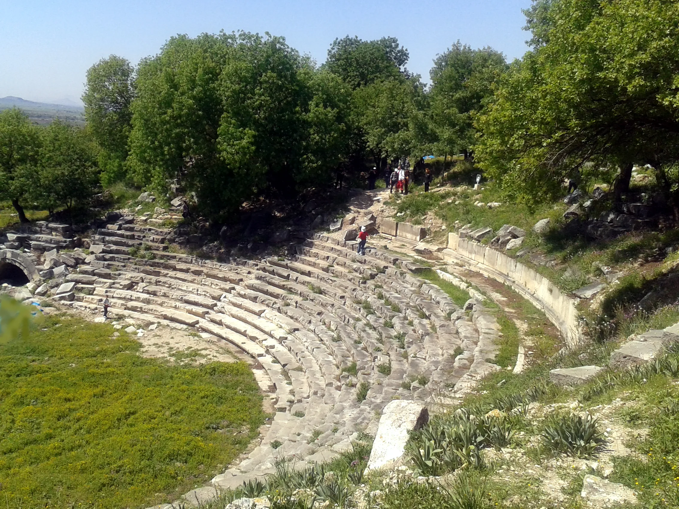
Theatre
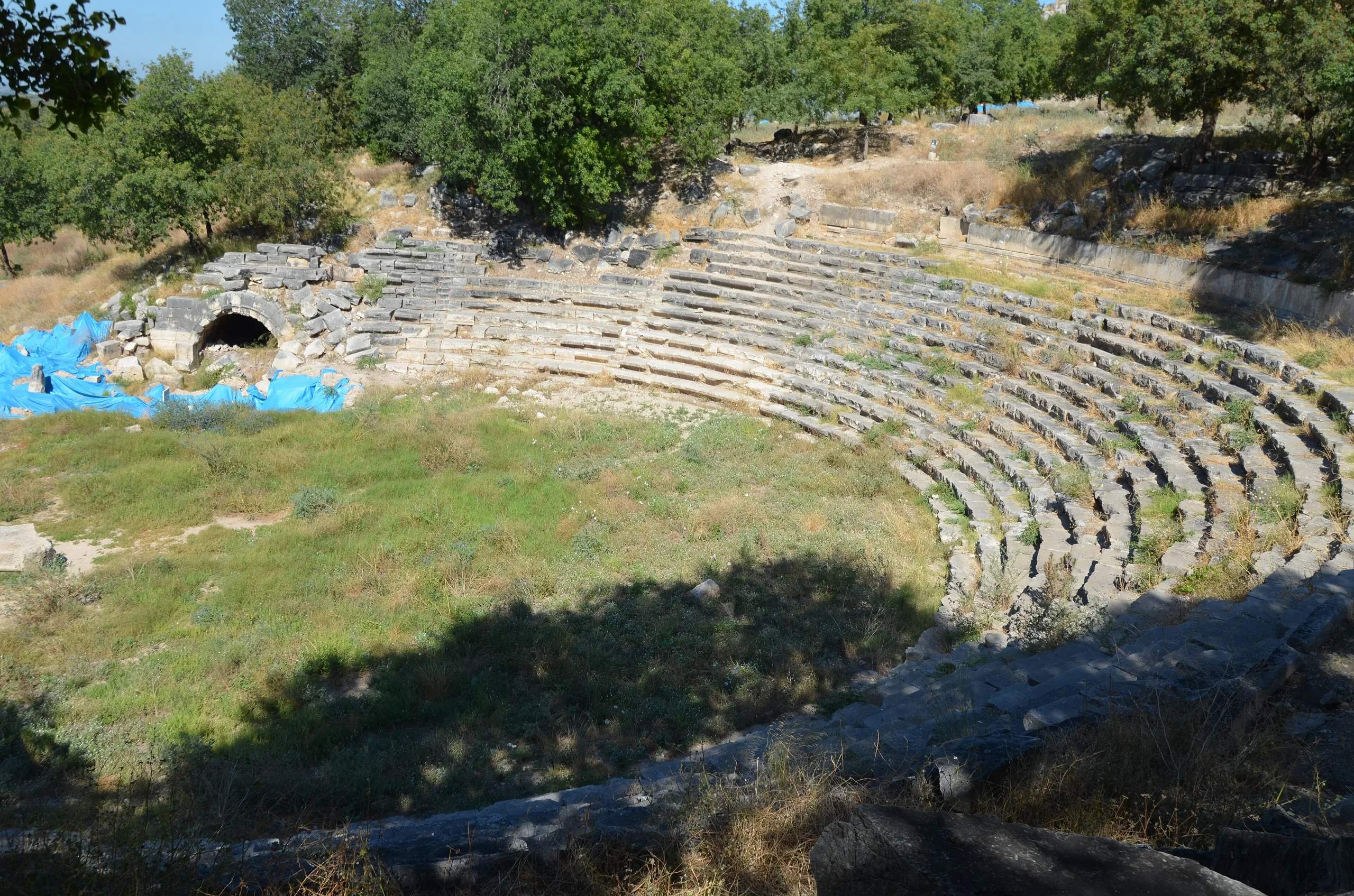
The theatre stands south of the north colonnaded street, east of the vaulted complex and north of the large bath. Built into the slope, it largely survives. The collapsed upper seating probably rested on vaults and arches, and of the two vomitoria opening from the diazoma, the eastern one is intact. The stage building consisted of two aediculae and two rectangular podiums; the architrave-frieze blocks carry masks and the pediment has bead-and-reel, egg-and-dart and anthemion bands. One frieze block shows a horned Pan on its narrow side; Pan and Satyr stand for tragedy and comedy. The Ministry dates the theatre to about the 2nd century CE, the late Hadrianic and Antonine period, and says the Corinthian capitals are badly damaged.
North Church and Bodrum Castle
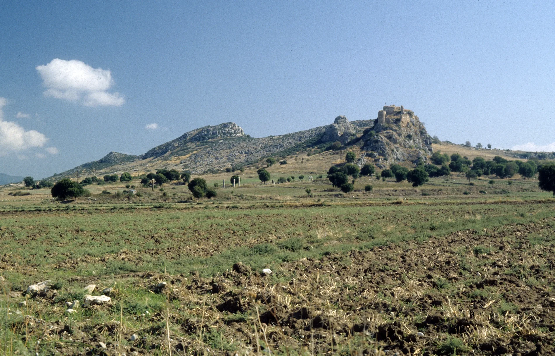
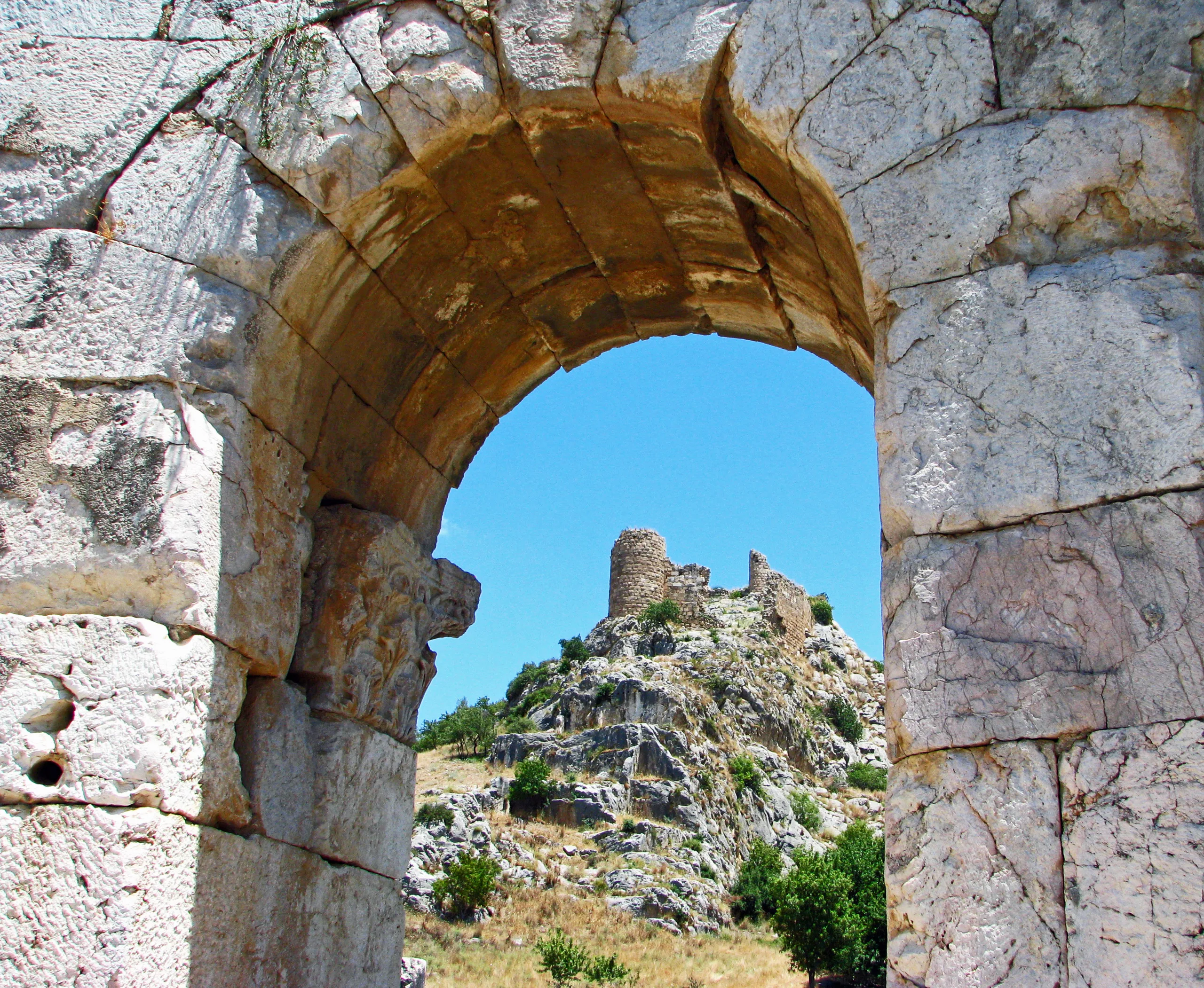
Two churches, called the North and South Church, stand in the city. The North Church, built in the 5th century CE on the north side of the valley, is a three-aisled basilica with a polygonal apse made wholly of reused Roman architectural pieces. Bodrum Castle dates from the 13th century; local stone alone went into its walls, and it crowns a rocky height over the plain. The Ministry says it was a medieval defence against the Crusades, with half-round corner towers, four bastions, one lookout tower and a cistern inside.
Excavations
The sources give different accounts of the dig. The Ministry says that since 2021, with the permit of the Ministry's heritage and museums directorate, excavations have been conducted for the Ministry and Osmaniye Korkut Ata University under Assoc. Prof. Dr. Faris Demir. The Culture Portal, on a page updated in 2021, says excavations began in 2009 and continue under Prof. Dr. Turgut Hacı Zeyrek of Karadeniz Technical University.
Visiting
The Culture Portal says an asphalt road leads to the site and village minibuses to Bahçe, Kesmeburun or Karatepe can be used. For hours and entry terms, see the official page.
Gallery
Frequently asked questions
Where is Kastabala?
What was Kastabala also called?
Which goddess was worshipped there?
What can be seen at the site?
When was the city wall built?
Who runs the excavations?
Sources (12)
- Kastabala Örenyeri / Kastabala Archaeological Site (TR ve EN sayfalar) — T.C. Kültür ve Turizm Bakanlığı, Müzeler ve Örenyerleri
- Kastabala Antik Kenti - Osmaniye (kaynak: kazı başkanı Prof. Dr. Turgut Hacı Zeyrek; Osmaniye İl Kültür ve Turizm Müdürlüğü) — T.C. Kültür ve Turizm Bakanlığı, Türkiye Kültür Portalı
- Hierapolis/Kastabala (Pleiades 658481) — Pleiades
Photo credits
- Photo: Carole Raddato from FRANKFURT, Germany, CC BY-SA 2.0 — Wikimedia Commons (resized)
- Photo: Klaus-Peter Simon, CC BY 3.0 — Wikimedia Commons (resized)
- Photo: Nedim Ardoğa, CC BY-SA 4.0 — Wikimedia Commons (resized)
- Photo: Ozgurmulazimoglu, CC BY-SA 3.0 — Wikimedia Commons (resized)
- Photo: Ozgurmulazimoglu, CC BY-SA 3.0 — Wikimedia Commons (resized)
- Photo: Philipp Pilhofer, CC BY-SA 3.0 — Wikimedia Commons (resized)
- Photo: Ozgurmulazimoglu, CC BY-SA 3.0 — Wikimedia Commons (resized)
- Photo: Nedim Ardoğa, CC BY-SA 4.0 — Wikimedia Commons (resized)
- Photo: Nedim Ardoğa, CC BY-SA 4.0 — Wikimedia Commons (resized)