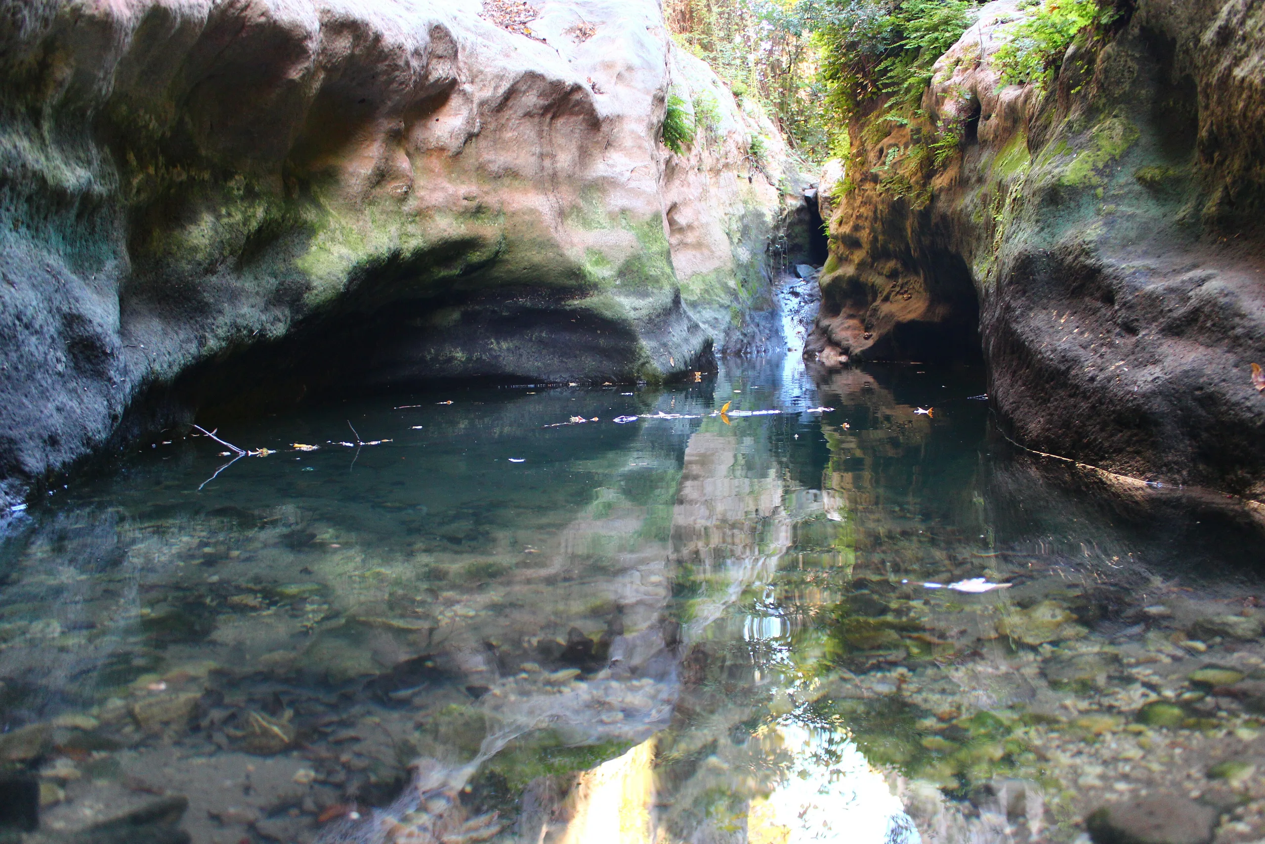
Karatepe-Aslantaş is Azatiwataya, a late Hittite border fortress on the Ceyhan River near Kadirli in Osmaniye, known for its relief-covered gates and bilingual inscription.
Karatepe-Aslantaş is an ancient city located in Turkey, Osmaniye. Main periods: Iron Age.
Karatepe-Aslantaş is an Iron Age fortress on the west bank of the Ceyhan River, the ancient Pyramos, about 20 kilometres from the Kadirli district of Osmaniye. The ministry page gives its old name as Azatiwataya and presents it as a border stronghold of the late Hittite period, around 700 BCE, in the foothills of the Taurus. The Turkish version of the page says the Museum Card is valid for Turkish citizens.
Setting and purpose
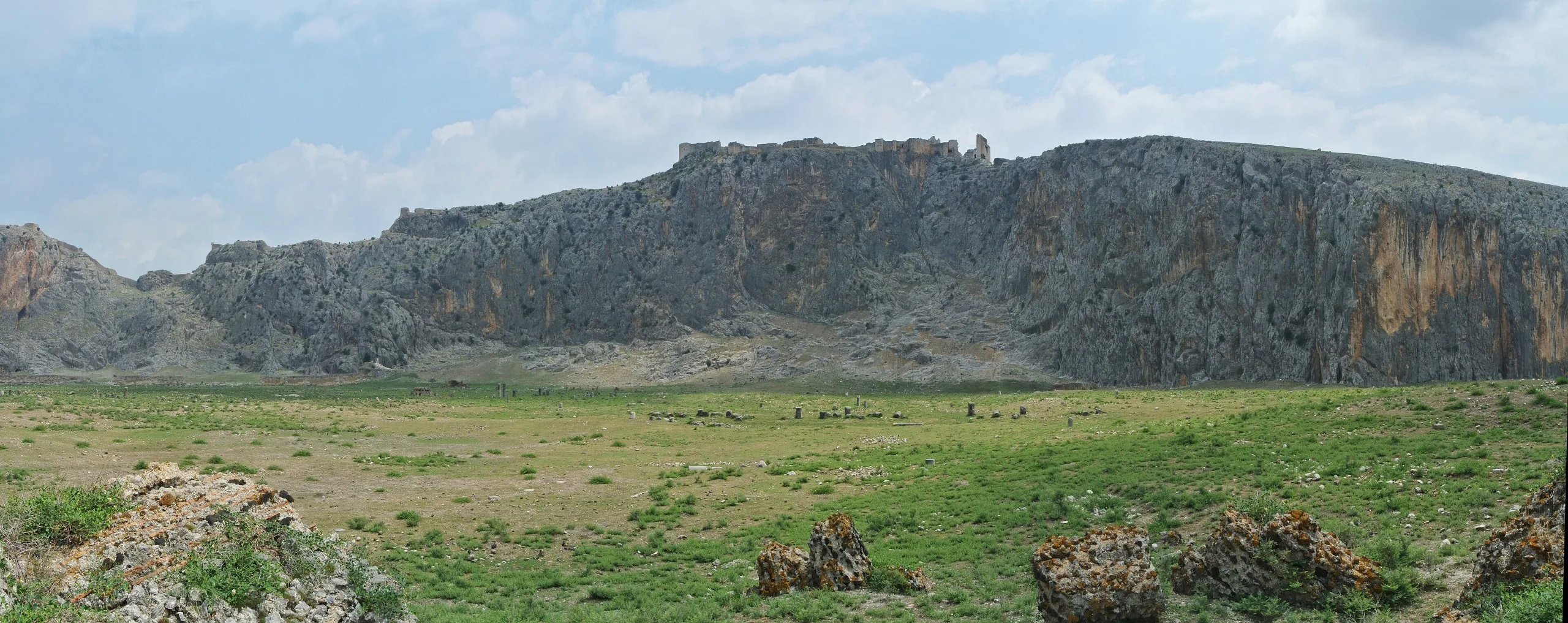
The fortress sits on a hill between the Ceyhan, which crosses the last spurs of the Taurus on its way to the Mediterranean, and the Akyol caravan road toward central Anatolia. In the ministry's account it commanded the trade route used by Phoenician caravans on one side and, on the other, the river down which timber from cedar forests was rafted to the coast. The text suggests that the stronghold may have guaranteed travellers' safety and goods in return for taxes, and that its thick double wall hints that valuable cargo such as metals was sometimes held here. Ancient Mopsuhestia (Misis/Yakapınar) is named as the probable regional centre; the English ministry page places the fortress about 70 kilometres north-east of it.
Main features
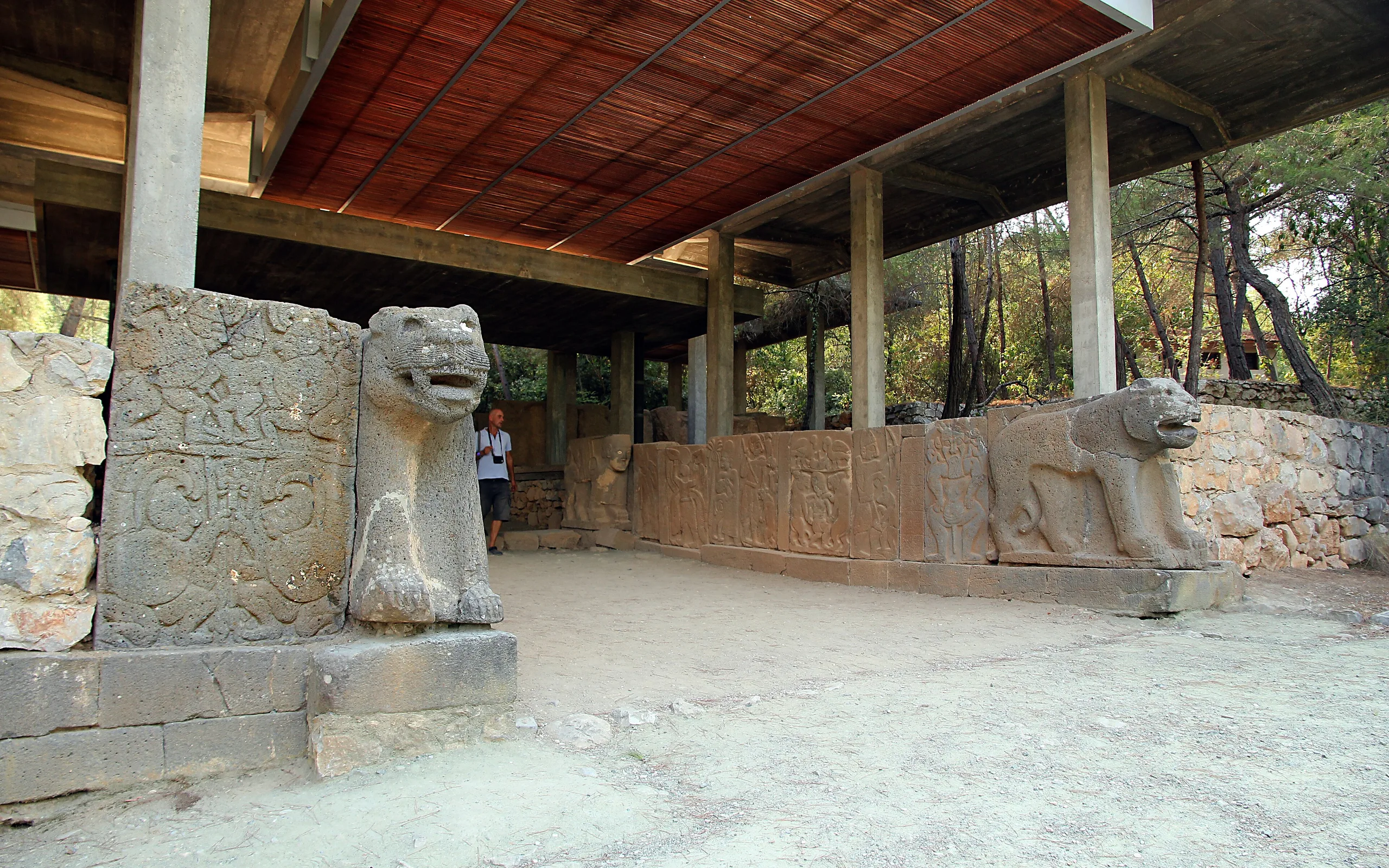
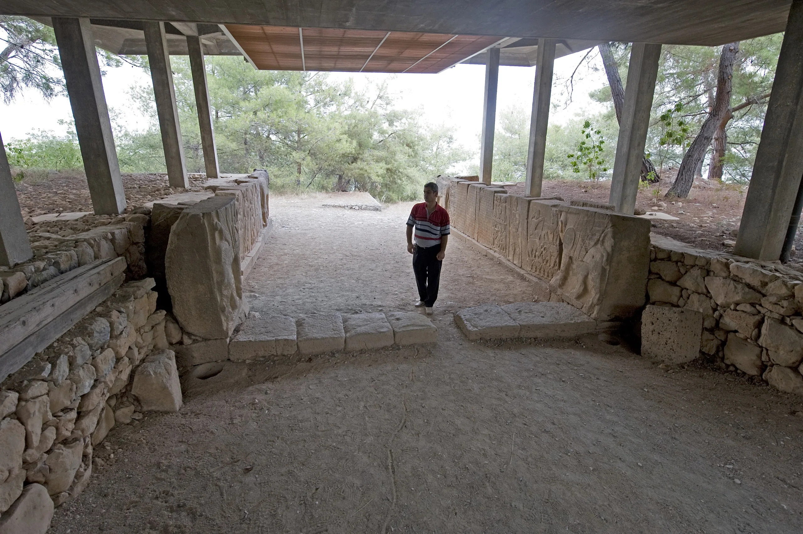
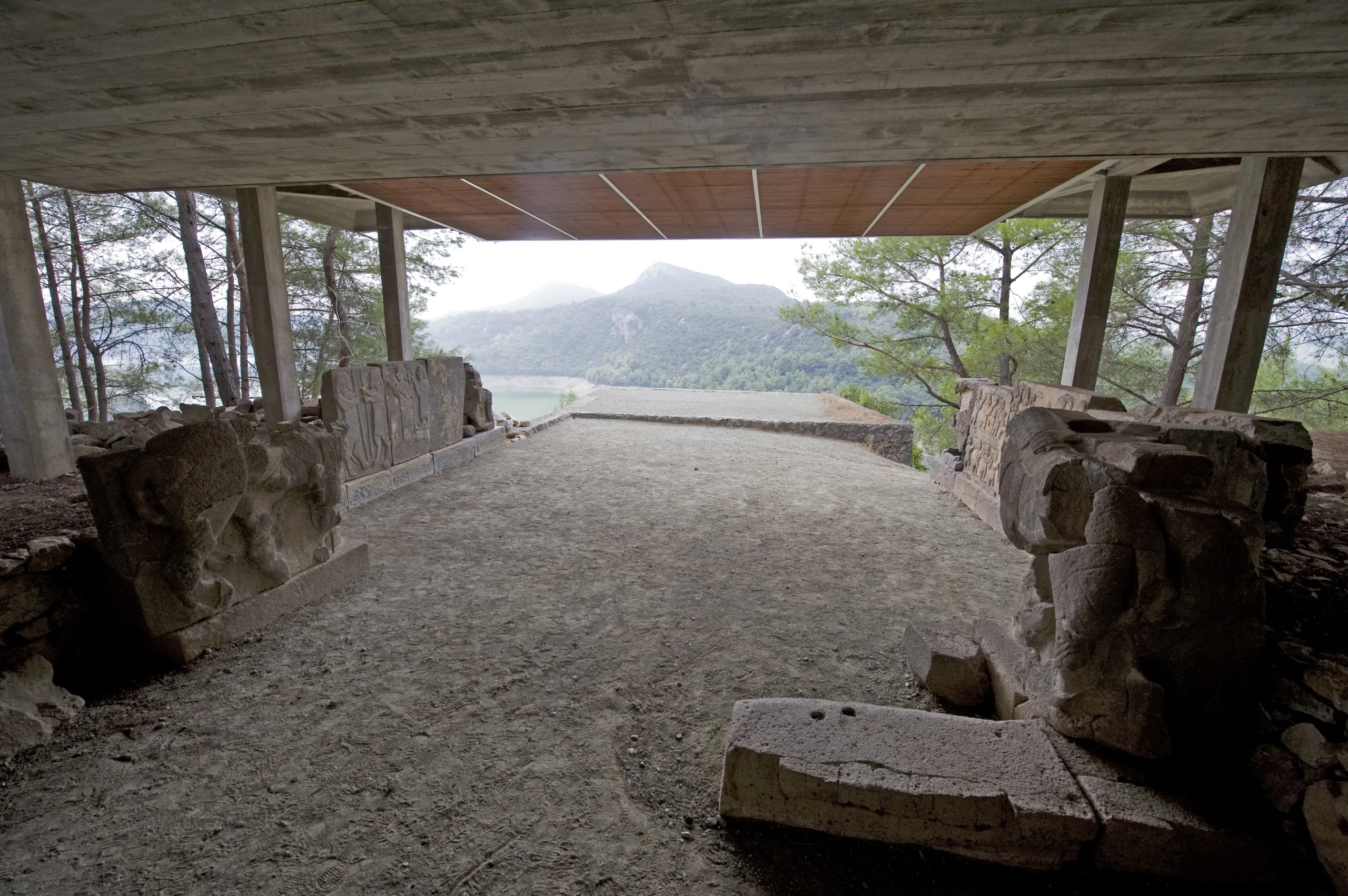
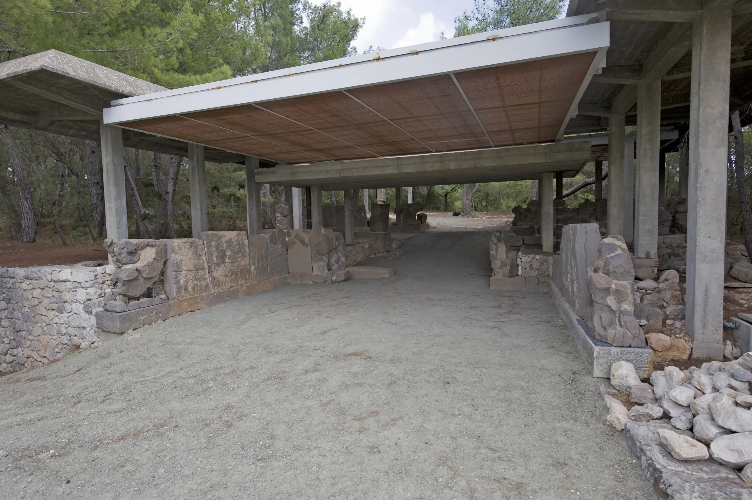
The ministry dates the fortress to the 8th-7th centuries BCE and says it covers roughly 195 by 375 metres. A double circuit protected by massive towers surrounds it, and the inner ring has 28 towers and walls about 4 metres thick. Two monumental gate buildings give access, the North Gate in the north-east and the South Gate in the south-west. Ramps lead up to them, an inner courtyard forces a change of direction, and behind each gate a diagonal chamber opens into the interior.
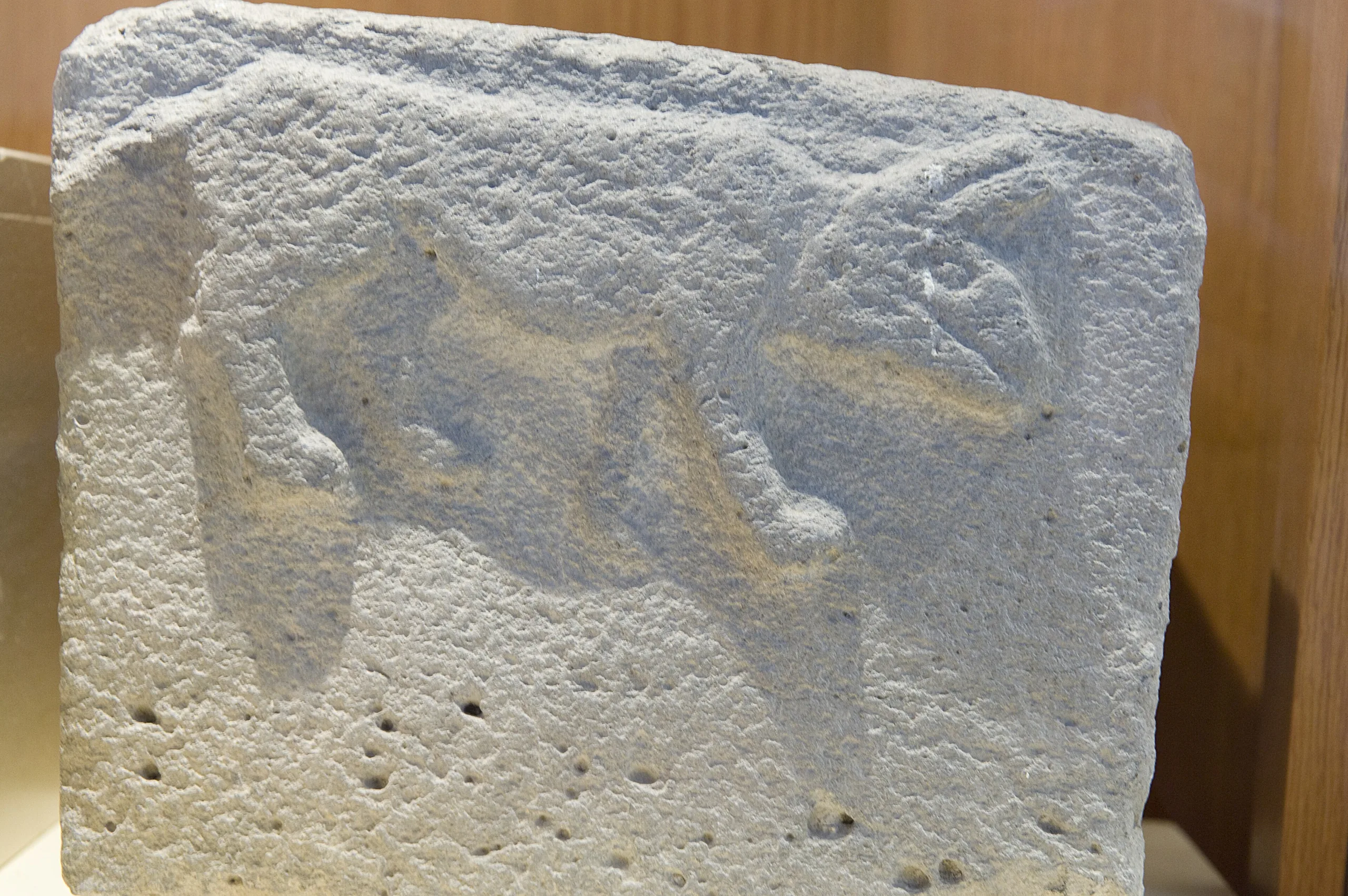
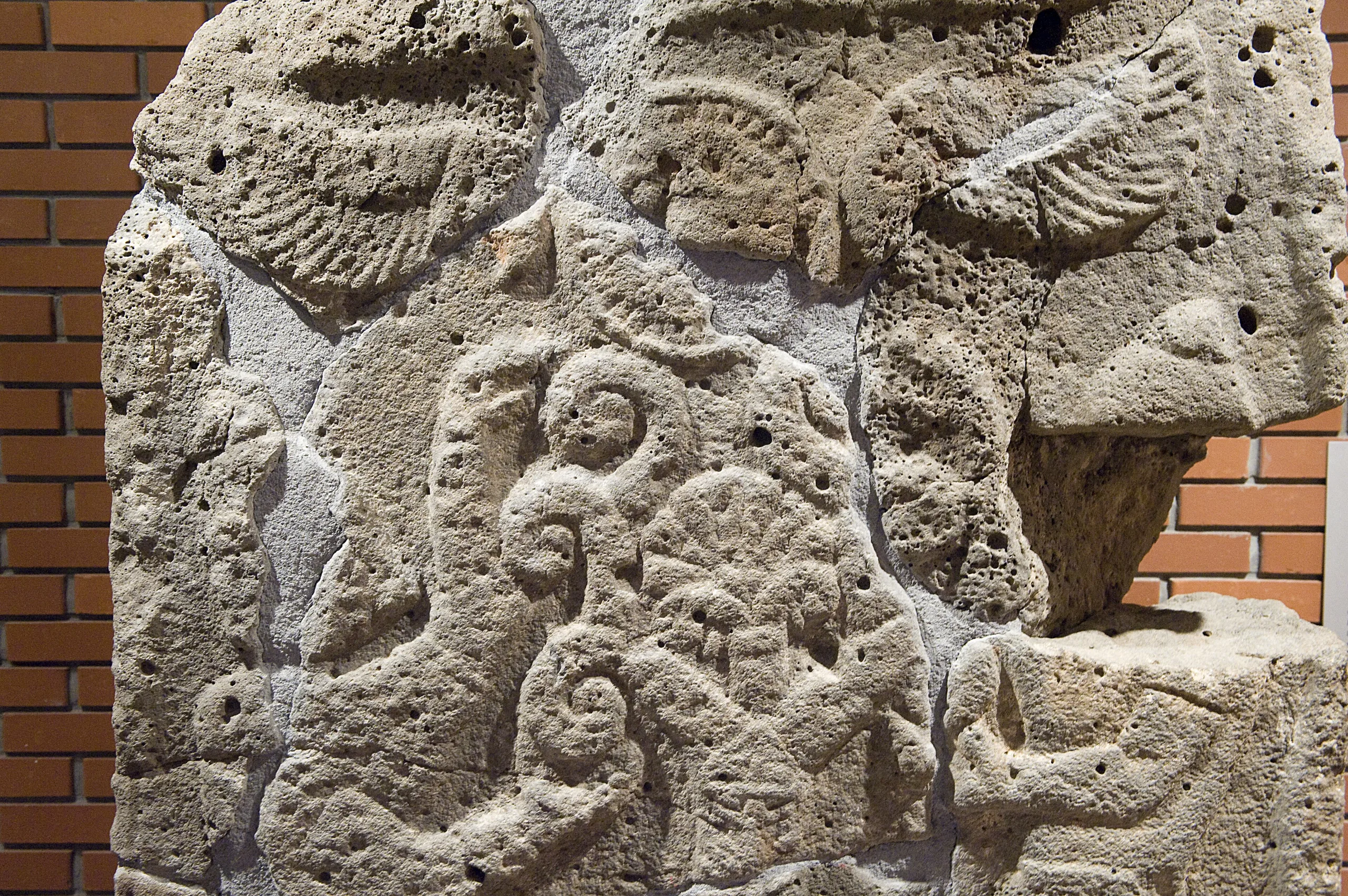
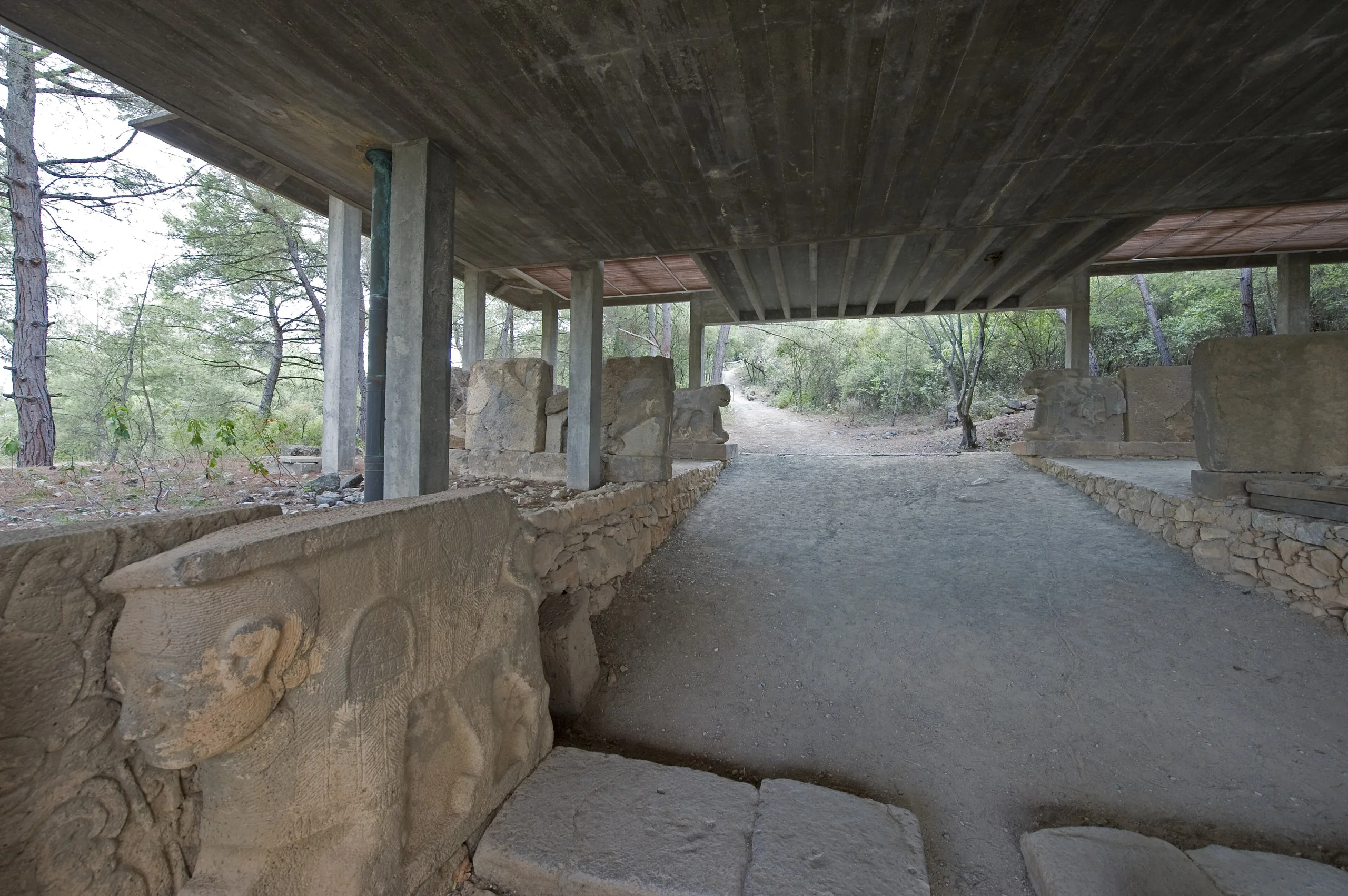
The inner walls of both gates are lined with upright stone slabs, called orthostats, set on basalt bases, and most of the slabs carry reliefs or gate sculptures. The UNESCO Tentative List file sees both Anatolian and Syrian building habits here: dealing with the slope by ramps instead of cut terraces resembles Hittite practice, while the use of regular orthostats seems Syrian in origin, with slanting blocks reaching into the wall at irregular intervals as a local touch. In the open area past the South Gate stood a giant Storm God figure mounted on a base formed by two bulls; the ministry says the basalt figure remained upright until 1915 and now rises again on its base after restoration.
The largest building inside the walls is a monumental structure with an inner courtyard on level ground near the South Gate; the ministry thinks it was probably prepared for the ruler who built the fortress. Storage buildings also stand around the South Gate.
The bilingual inscription
The fortress name Azatiwataya is known from the gate reliefs and from the bilingual text cut into the body of the Storm God statue. The text is written in Hieroglyphic Luwian and in alphabetic Phoenician, with the Luwian version occurring two times and the Phoenician three, according to the ministry, which also says it helped in deciphering hieroglyphic writing. It was commissioned by Azatiwatas, founder of the fortress, who says that Urikki (Awarikku), king of the Danuna of the Adana plain, supported him, that he brought peace and plenty to the plain, and that he founded strongholds along its frontiers; he also affirms loyalty to a dynasty he calls the House of Mopsos. UNESCO's file regards it as the oldest bilingual storytelling text known from any building in the ancient Near East or Mediterranean.
The ministry page also mentions a comparable bilingual inscription found in 1998 at Çineköy near Adana, in which King Urikki of Danuna claims descent from Mopsos.
Excavation and conservation
In the ministry's telling, Professor H. Th. Bossert and his team heard in the summer of 1945, while tracing Hittite caravan roads, of a place called Aslantaş east of Kadirli. In February 1946 Bossert, Halet Çambel and the Adana Museum director Naci Kum reached it with the local guide Ekrem Kuşçu and found the remains of an Iron Age fortress beside a bull-shaped base. Official excavation began in 1947 under Bossert and U. Bahadır Alkım, and Bossert announced its end in 1951.
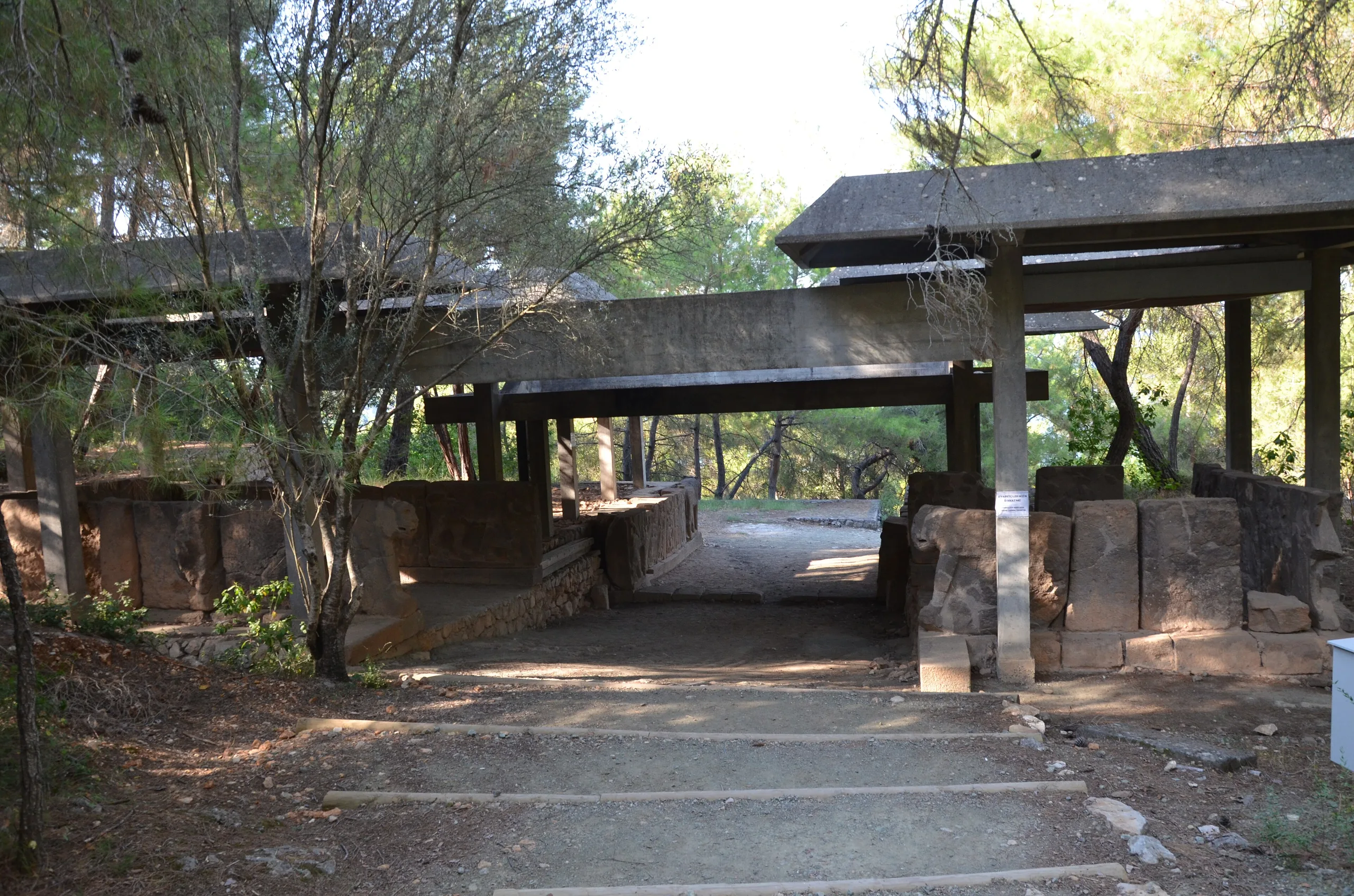
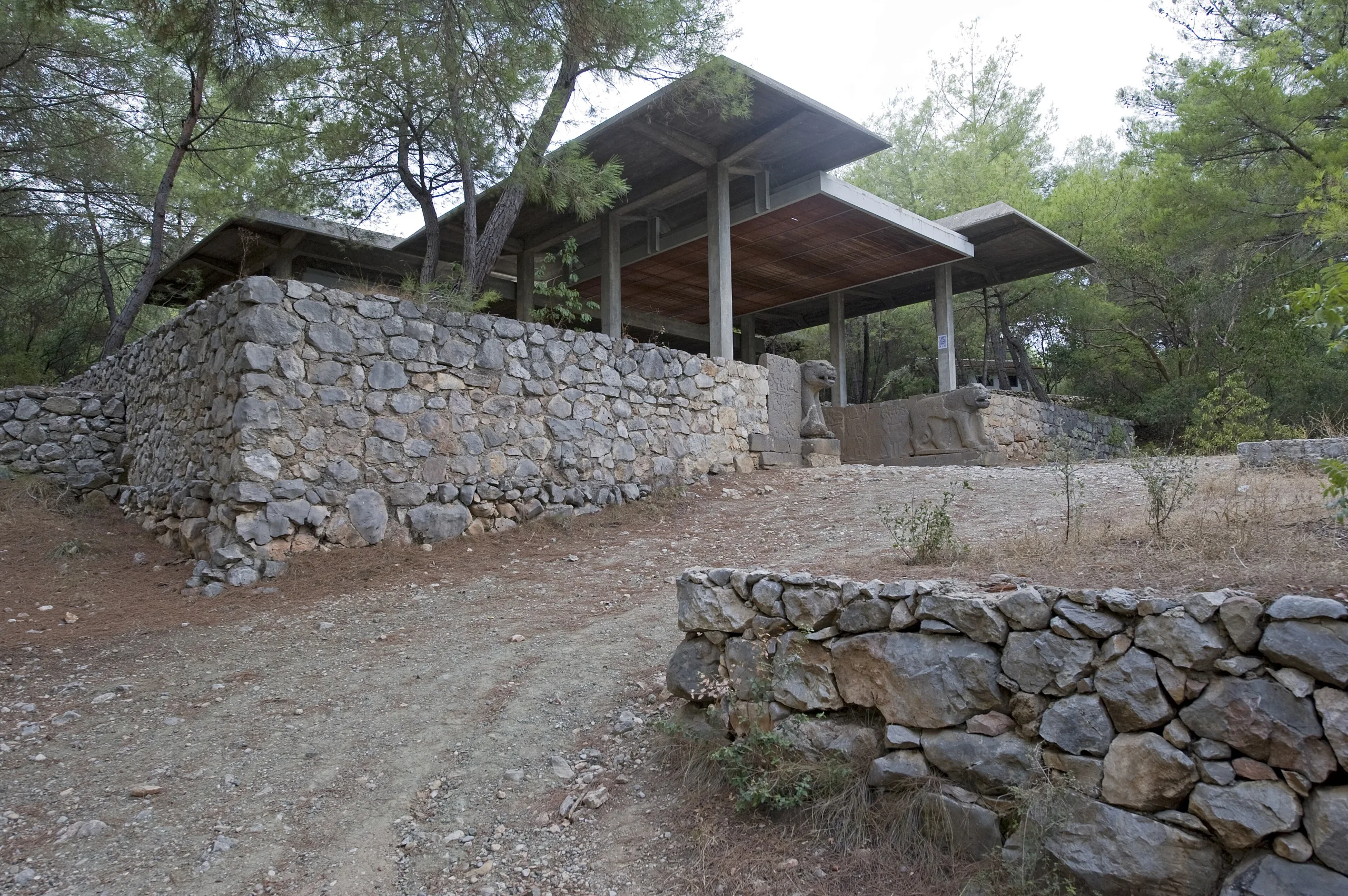
The following year Halet Çambel and Italian specialists from the ICR began restoring the reliefs where they stood rather than moving them to a museum; permanent shelters followed in 1957, which started Turkey's earliest open-air museum. In 1958 the 7,715-hectare area around the fortress was declared a national park. The Aslantaş Dam built on the Ceyhan in the 1970s created a lake that now laps the hill of the fortress and the slopes of Domuztepe across the water. Work resumed in 1987, and from 1997 to 2002 new topographic and architectural studies were carried out with the German Archaeological Institute.
UNESCO Tentative List
Türkiye submitted the Karatepe-Aslantaş Archaeological Site to the UNESCO Tentative List on 14 April 2020 (reference 6470; criteria ii, iii and iv). UNESCO gives the proposed area as 4,295 hectares, set within a forest declared a historic national park in 1958. Besides the Iron Age citadel, the proposal covers Domuztepe on the opposite bank, which UNESCO says was occupied in a sequence from the Neolithic of the 8th millennium BCE to the Roman period. The site also has an excavation house designed in the 1960s by the architect Turgut Cansever. The ministry gives 7,715 hectares for the protected zone and UNESCO 4,295 for the proposed property; the figures describe different things, so both are given.
Visiting
The ministry page lists the address as Kızyusuflu village, Cennetler neighbourhood, Kadirli. For current visiting information, see the ministry's official page.
Gallery
Frequently asked questions
Where is Karatepe-Aslantaş?
What was Azatiwataya?
Which languages does the inscription use?
When was the fortress built?
When did excavations begin?
Is it a UNESCO World Heritage Site?
Is the Museum Card valid here?
Sources (12)
- Karatepe-Aslantaş Müzesi ve Örenyeri / Karatepe-Aslantaş (TR ve EN sayfalar) — T.C. Kültür ve Turizm Bakanlığı, Müzeler ve Ören Yerleri
- Karatepe-Aslantaş Archaeological Site (Tentative List ref. 6470) — UNESCO World Heritage Centre
- Karatepe-Aslantaş (Wikidata Q1729026, P625 koordinat) — Wikidata
Photo credits
- Photo: Klaus-Peter Simon, CC BY-SA 3.0 — Wikimedia Commons (resized)
- Photo: Carole Raddato from FRANKFURT, Germany, CC BY-SA 2.0 — Wikimedia Commons (resized)
- Photo: Dosseman, CC BY-SA 4.0 — Wikimedia Commons (resized)
- Photo: Dosseman, CC BY-SA 4.0 — Wikimedia Commons (resized)
- Photo: Dosseman, CC BY-SA 4.0 — Wikimedia Commons (resized)
- Photo: Dosseman, CC BY-SA 4.0 — Wikimedia Commons (resized)
- Photo: Dosseman, CC BY-SA 4.0 — Wikimedia Commons (resized)
- Photo: Dosseman, CC BY-SA 4.0 — Wikimedia Commons (resized)
- Photo: Dosseman, CC BY-SA 4.0 — Wikimedia Commons (resized)