Dara is an East Roman garrison city near Mardin, built against the Sasanians; it is known for four kilometres of walls, giant cisterns, rock-cut tombs and a market district under excavation.
Dara is an ancient city located in Turkey, Mardin. Main periods: Byzantine Period, Seljuk Period, Beyliks Period.
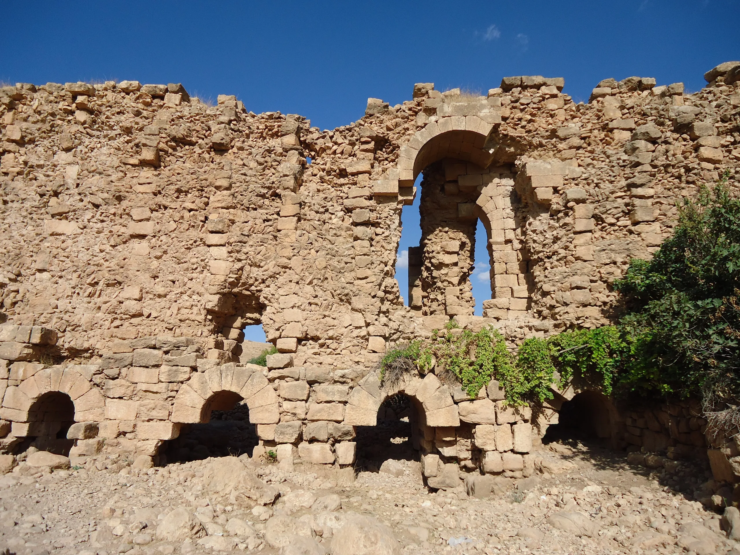
Dara's walls run four kilometres and carry 28 towers; the city was laid out as a garrison for some 25,000 soldiers. This East Roman town lies about 30 km south-east of Mardin in Oğuz neighbourhood, Artuklu district, 18 km north-west of Nusaybin and 7 km north of Amuda across the Syrian border. It sits on the southern skirts of the Tur Abdin mountains, looking down over the Mesopotamian plain. Ancient texts call it Daras, and after the emperor who refounded it, Anastasiopolis.
Location and access
From Akıncılar village on the Mardin–Nusaybin road, the way in is 10 km of side road, and no minibus service runs there. The museum address is Dara Mahallesi, Zından Sokağı. For current visiting terms, see the official page.
Name and foundation
People lived here before Anastasius. Pottery and coins push the site back to the Hellenistic period, and one guess derives the name from a military base of the Persian king Darius III (336-330 BCE), though that is only conjecture. The 3rd-century CE writer Iustinus Frontinus says the Parthian king Arsaces I raised a city called Dara in a spot ringed by steep rock that needed no defending, with fertile land, plentiful streams and woodland for hunting. The real city, however, is the work of Emperor Anastasius (491-518), who around 505 had it built as a military garrison to guard the eastern frontier of East Rome against the Sasanians; construction ran from 503 to 507.
History
From the mid-3rd century BCE to the 1st century BCE, Dara passed back and forth between the Parthian and Seleucid kingdoms. At the start of the 6th century CE it was still a small village when Anastasius picked it, gave it his name and turned it into the administrative and military centre of Mesopotamia. Closeness to Nisibis (Nusaybin), a strategic and defensible position, nearby water and command of the plain decided the choice.
The Sasanians ruled Dara in 577-591 and 606-620, and East Rome held it again from 620 to 639. In 640 it went with most of northern Mesopotamia to the Arabs. After a short return to East Roman hands in the 10th century, it alternated between the Seljuks and East Rome until the late 11th. The Artuqid ruler Timurtash besieged and took it in 1150. Between 1251 and 1259 the Ilkhanids wrecked much of it; the place emptied out gradually and by the 14th century was a small village. The present village dates from the late 18th century and lives on top of the old Roman city.
Notable structures
Walls and inner fortress
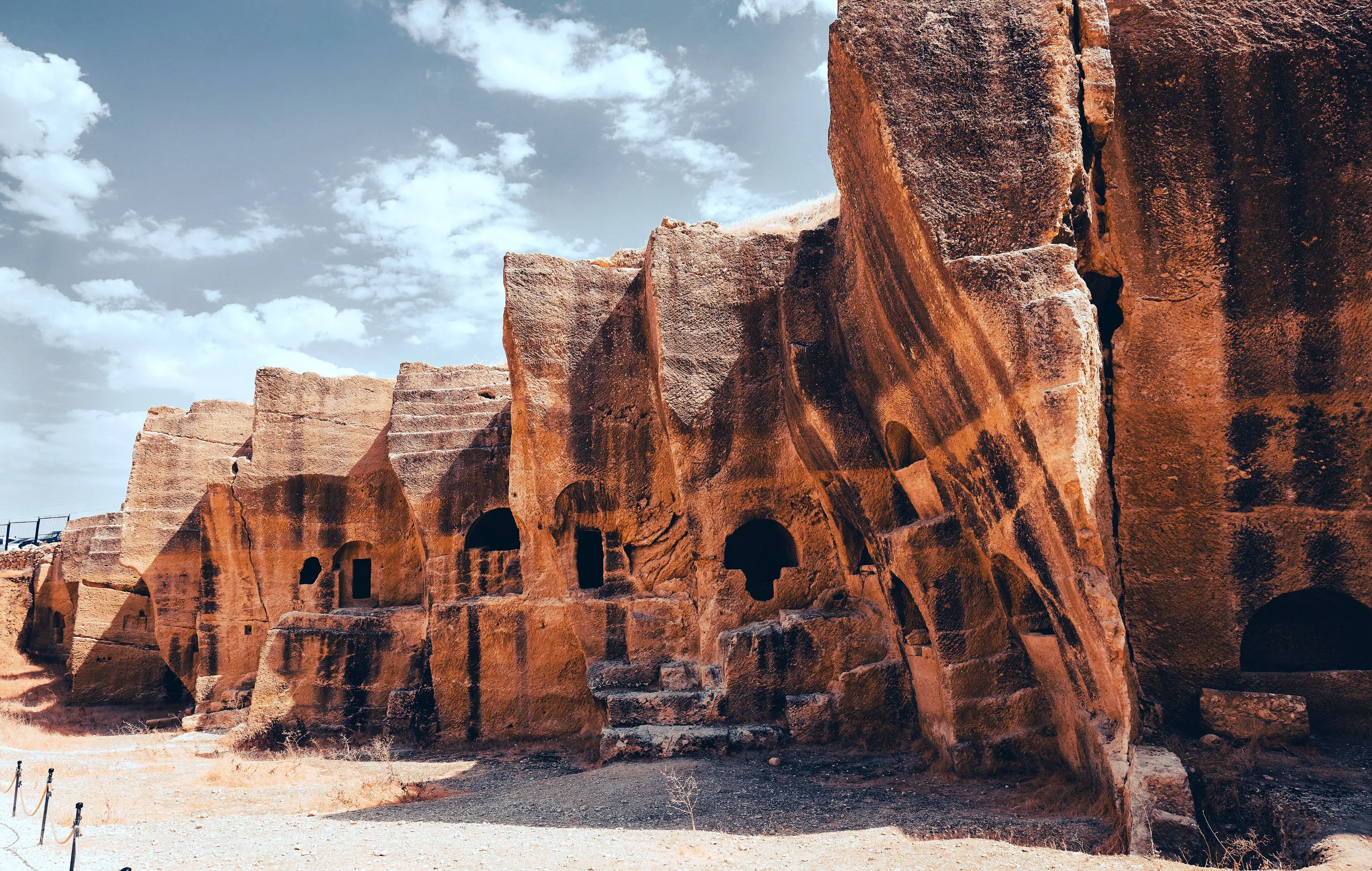
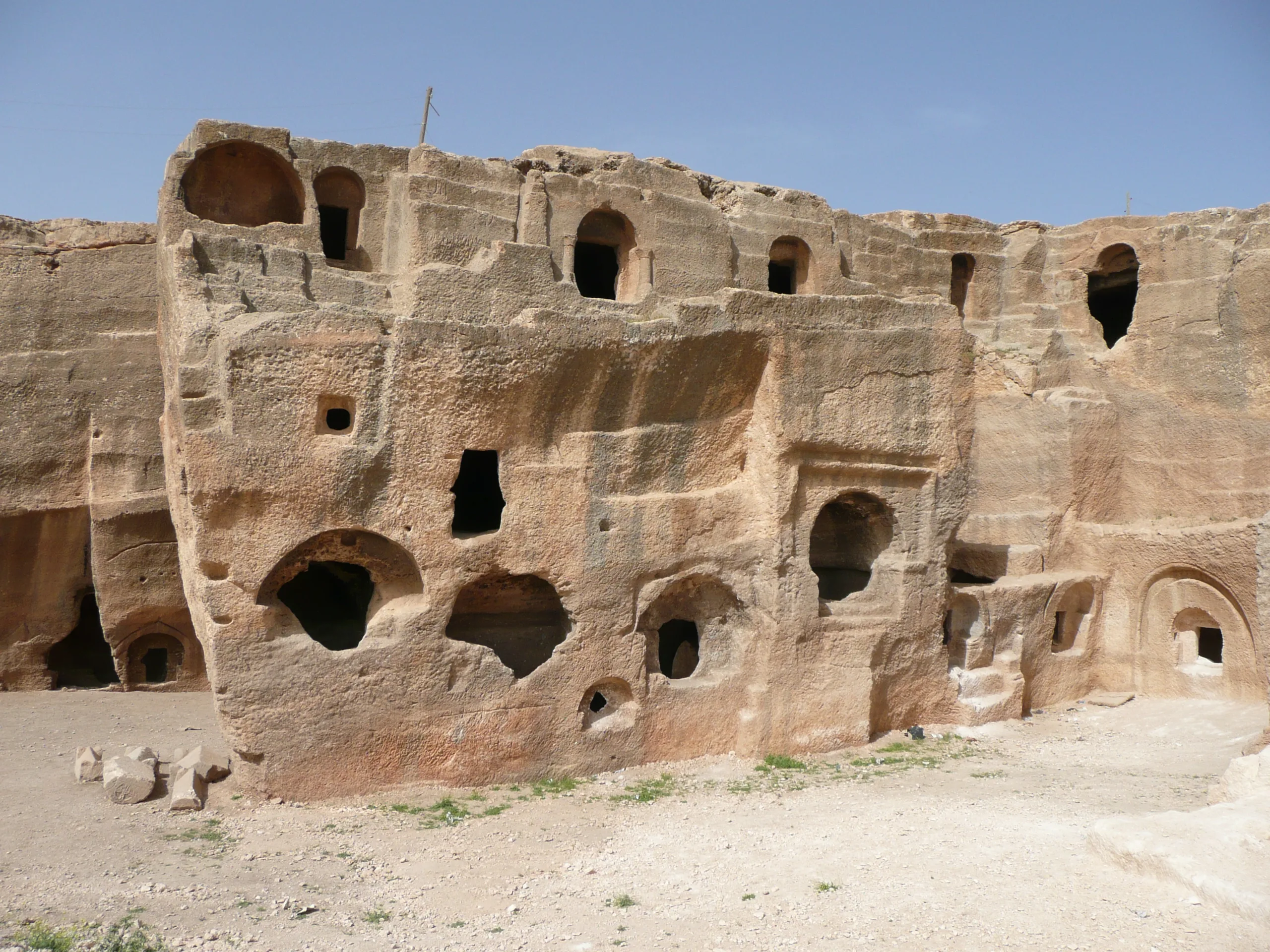
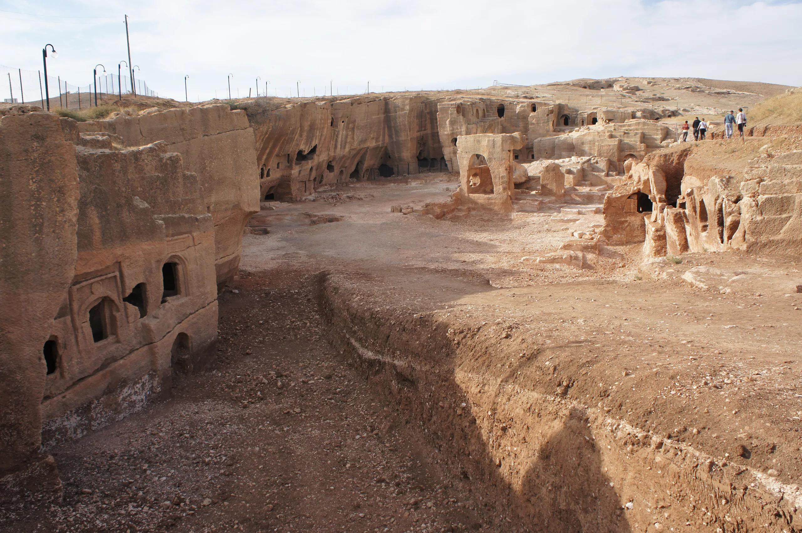
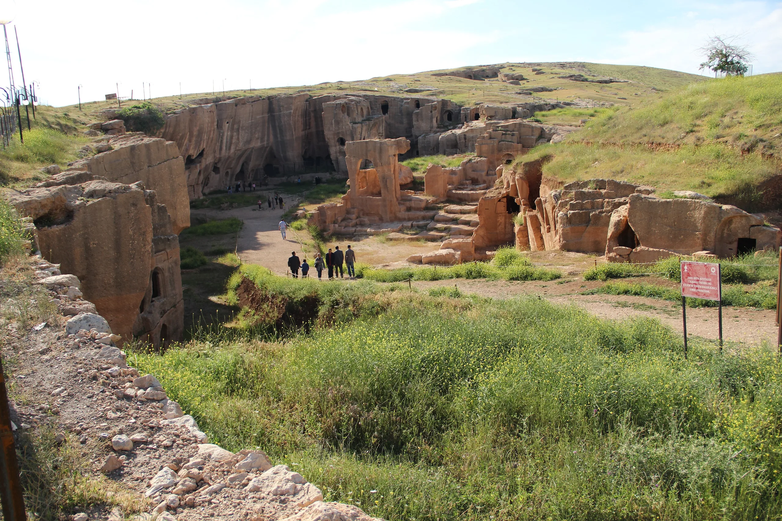
Largely made up of rock-cut structures, the city spreads over a wide area and is protected by a four-kilometre wall. The inner fortress was set on the flat summit of a 50-metre hill to the north.
Buildings and cisterns
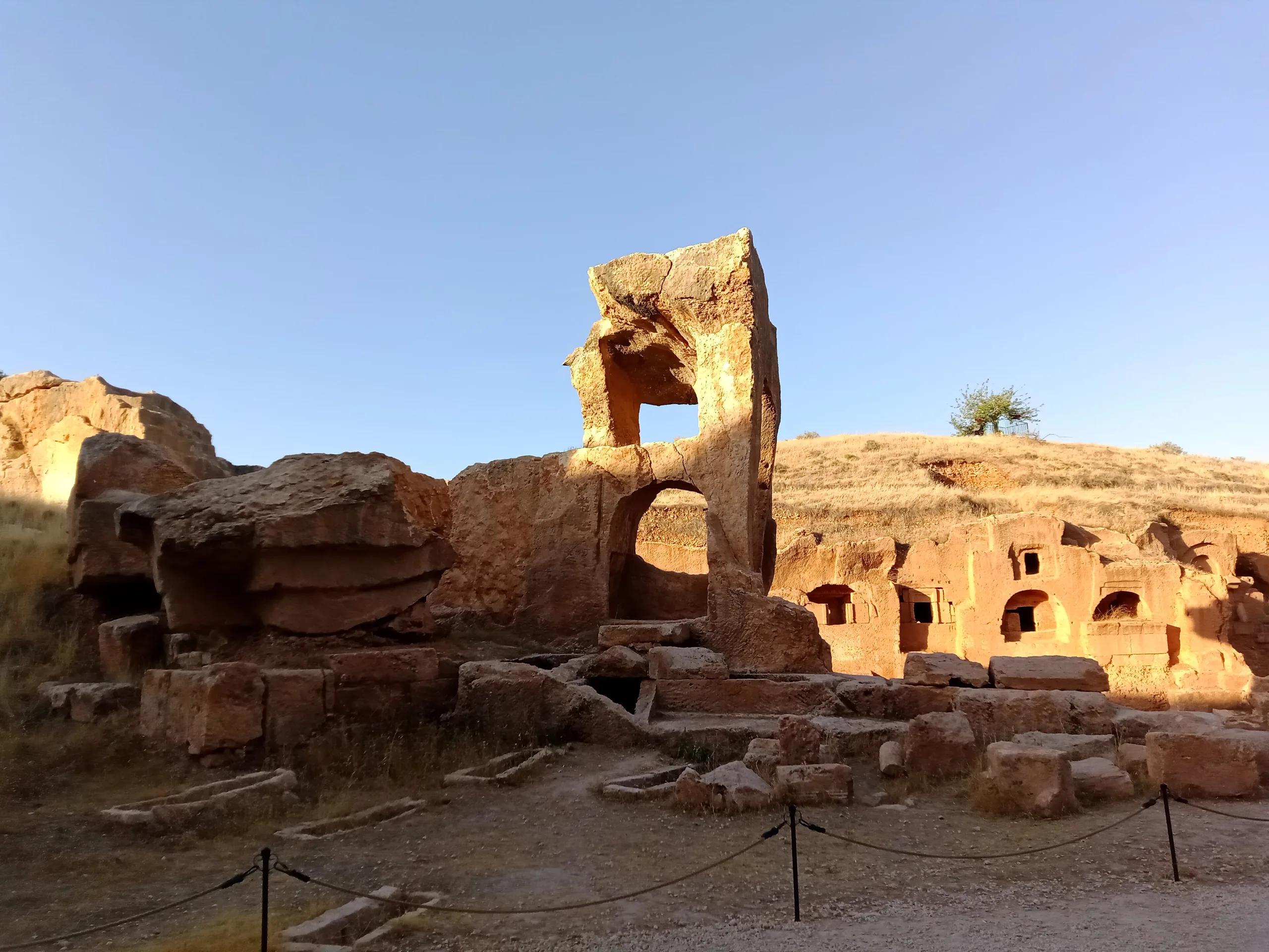
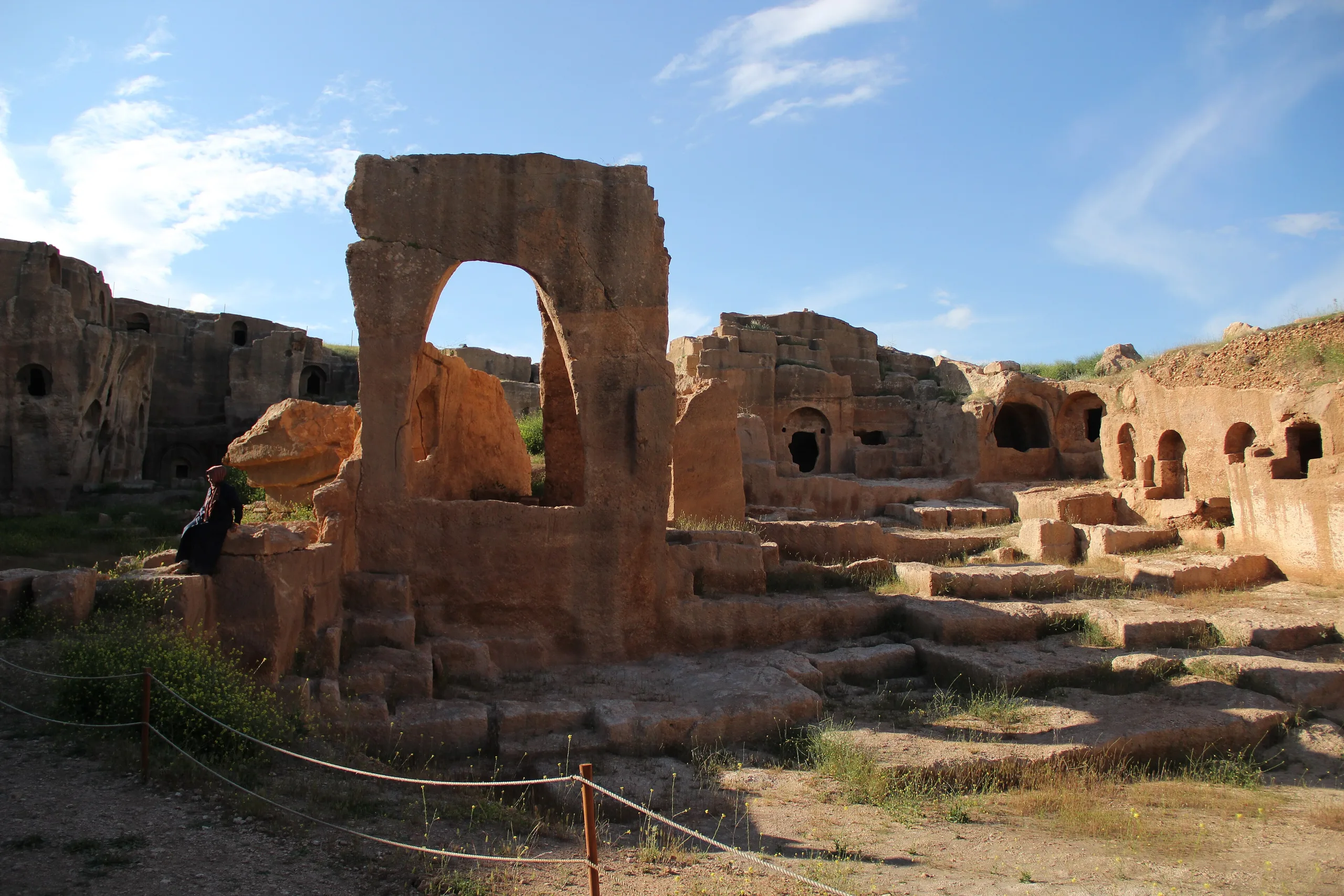
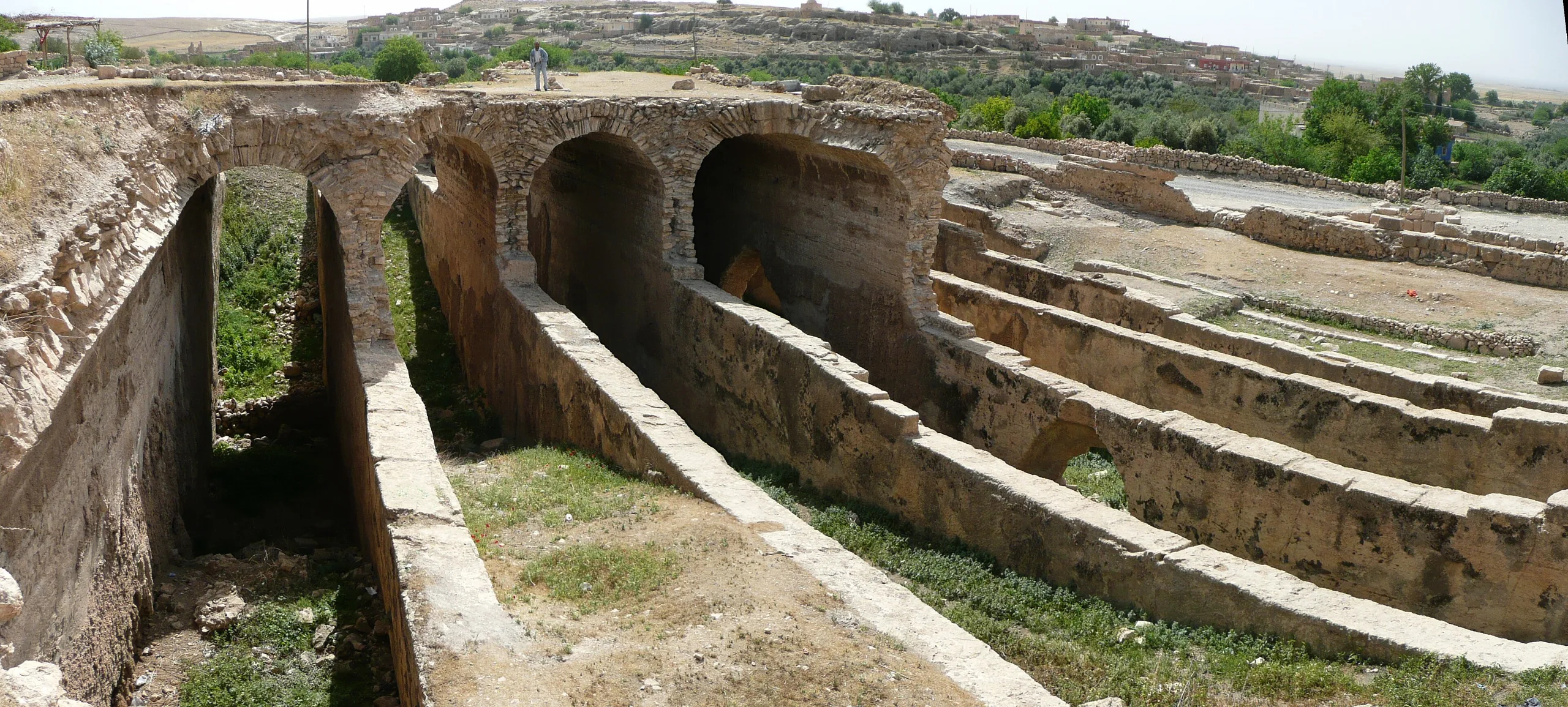
Remains of a church, a palace, a market, a dungeon, an arsenal (the tophane, where cannon and munitions were kept) and a dam can be seen on site. Huge cisterns beneath the city supplied water and also served in defence. Cave houses around the village go back to Late Roman times.
Necropolis and tomb
The necropolis, or burial ground, counts among the most striking parts of Dara. Tombs were cut into the bedrock as deep, wide valley-like hollows and line the broad hills west of the city. The site also holds Islamic-period graves and a tomb building thought to date from the 14th-15th centuries.
Excavations
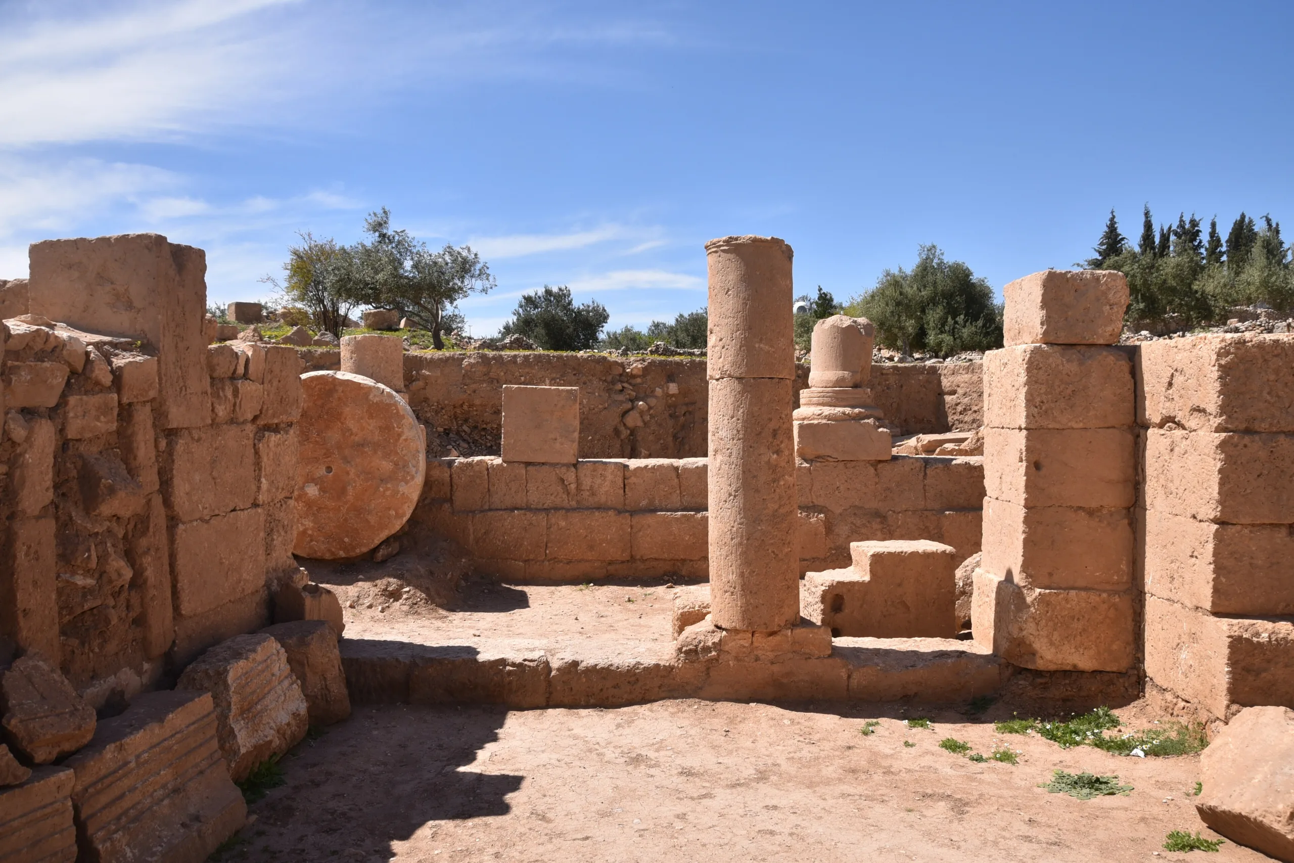
Digging began in 1986 and has continued on and off. In recent years work has focused on the agora, the market square, as well as the ground in front of the walls and around the towers. More than ten shops and workshops have come to light; glass and metal workshops among them suggest that in the 6th century Dara was a busy trading centre as well as a garrison. Finds so far include over 10,000 arrowheads, lamps, glass and pottery objects, and jewellery.
Gallery
Frequently asked questions
Where is Dara?
Who founded Dara?
What does Anastasiopolis mean?
What can be seen at Dara?
When was Dara abandoned?
How was Dara defended?
Sources (12)
- Dara Örenyeri / Dara Archaeological Site (TR ve EN sayfalar) — T.C. Kültür ve Turizm Bakanlığı, Müzeler ve Ören Yerleri
- Dara Antik Kenti - Mardin (kaynak: Kültür ve Turizm Bakanlığı, Mardin Tanıtım Kitapçığı, 2012) — T.C. Kültür ve Turizm Bakanlığı, Türkiye Kültür Portalı
- Dara/Anastasioupolis (Pleiades place 874444) — Pleiades
Photo credits
- Photo: ERHAN ALICI, CC BY-SA 3.0 — Wikimedia Commons (resized)
- Photo: Nevit Dilmen, CC BY-SA 3.0 — Wikimedia Commons (resized)
- Photo: MikaelF, CC BY-SA 3.0 — Wikimedia Commons (resized)
- Photo: Nalizim, CC BY-SA 4.0 — Wikimedia Commons (resized)
- Photo: Hamdigumus, CC0 — Wikimedia Commons (resized)
- Photo: Hamdigumus, CC0 — Wikimedia Commons (resized)
- Photo: Nevit Dilmen, CC BY-SA 3.0 — Wikimedia Commons (resized)
- Photo: Procopius, CC BY-SA 3.0 — Wikimedia Commons (resized)
- Photo: Carole Raddato, CC BY-SA 2.0 — Wikimedia Commons (resized)