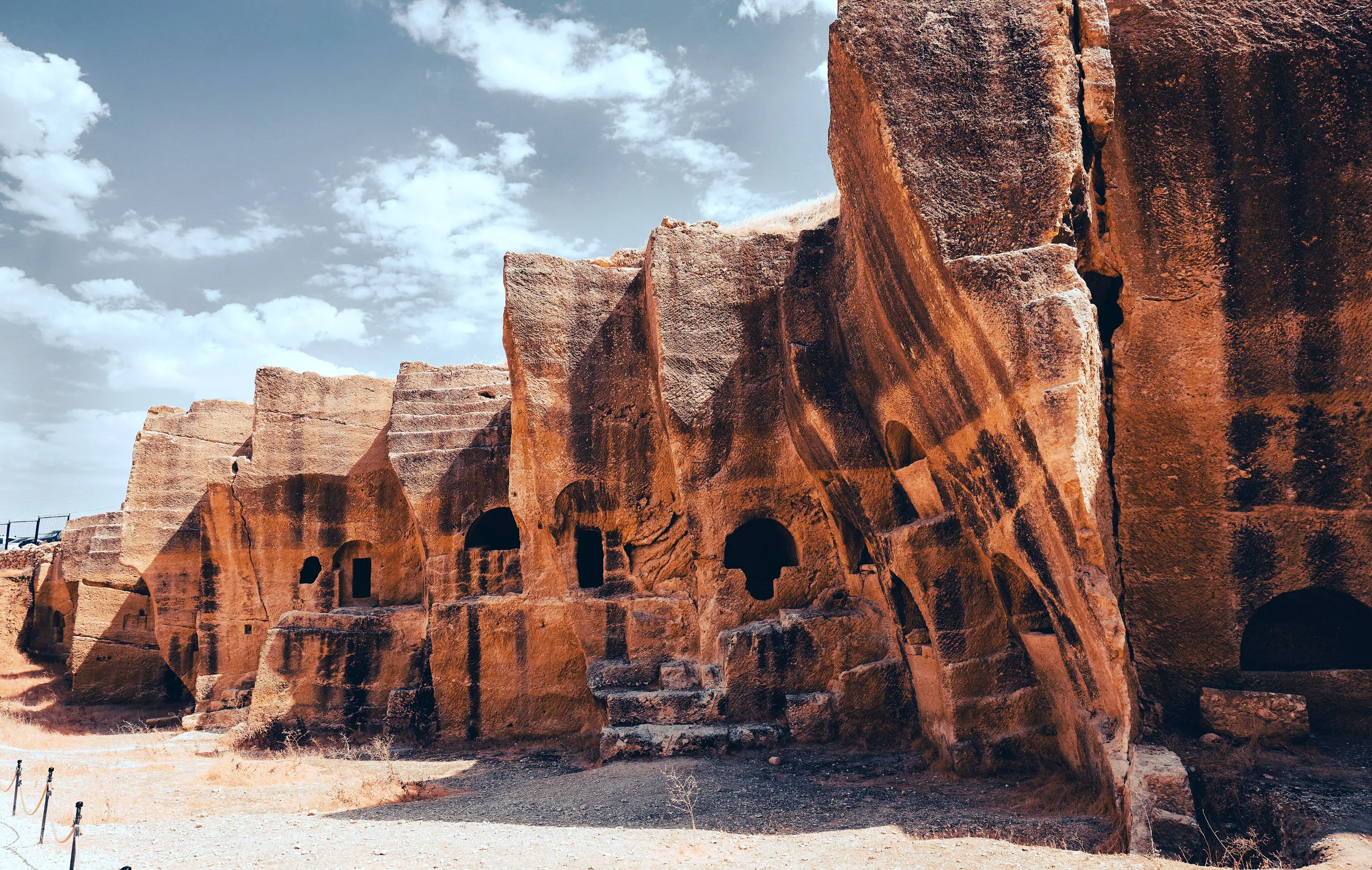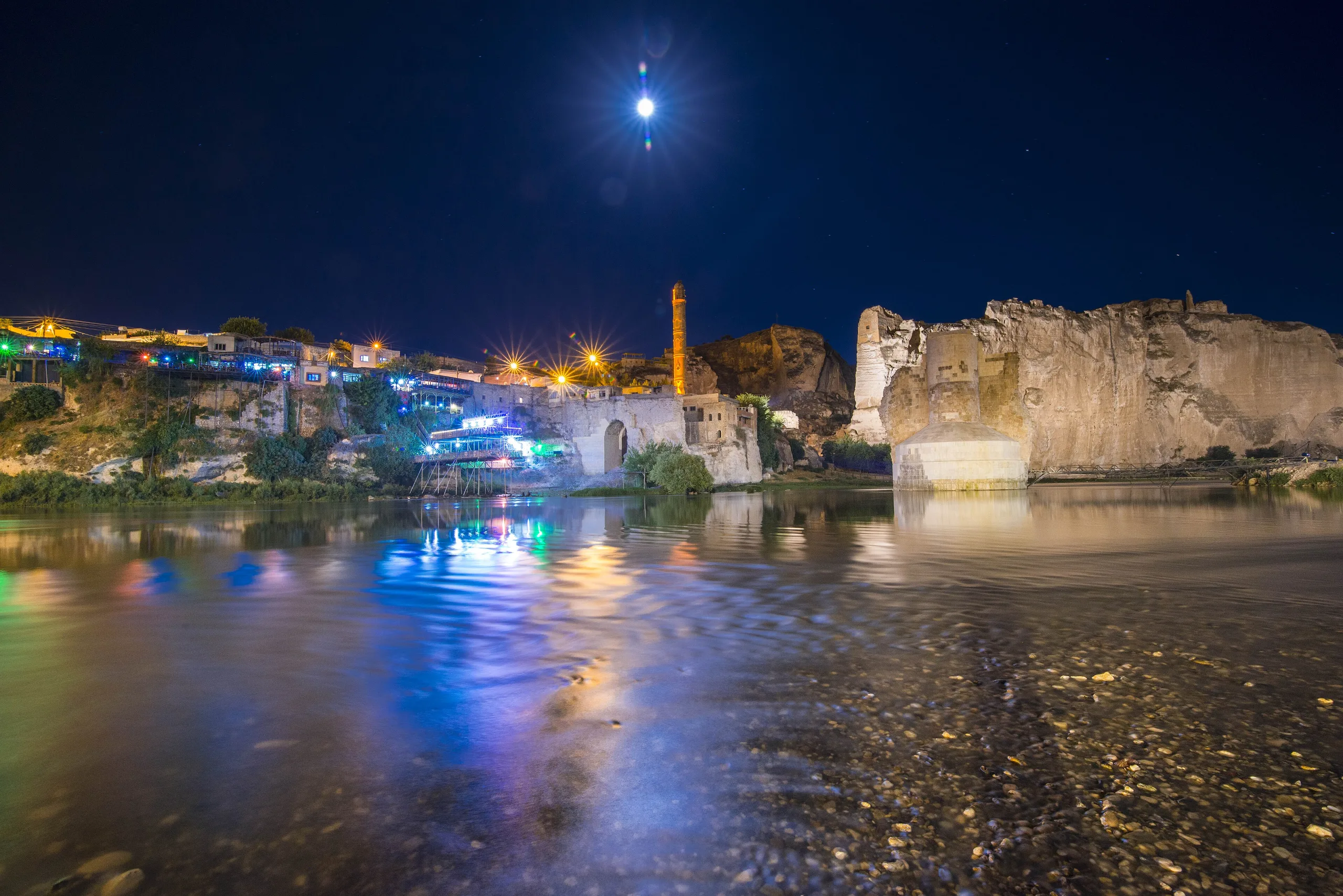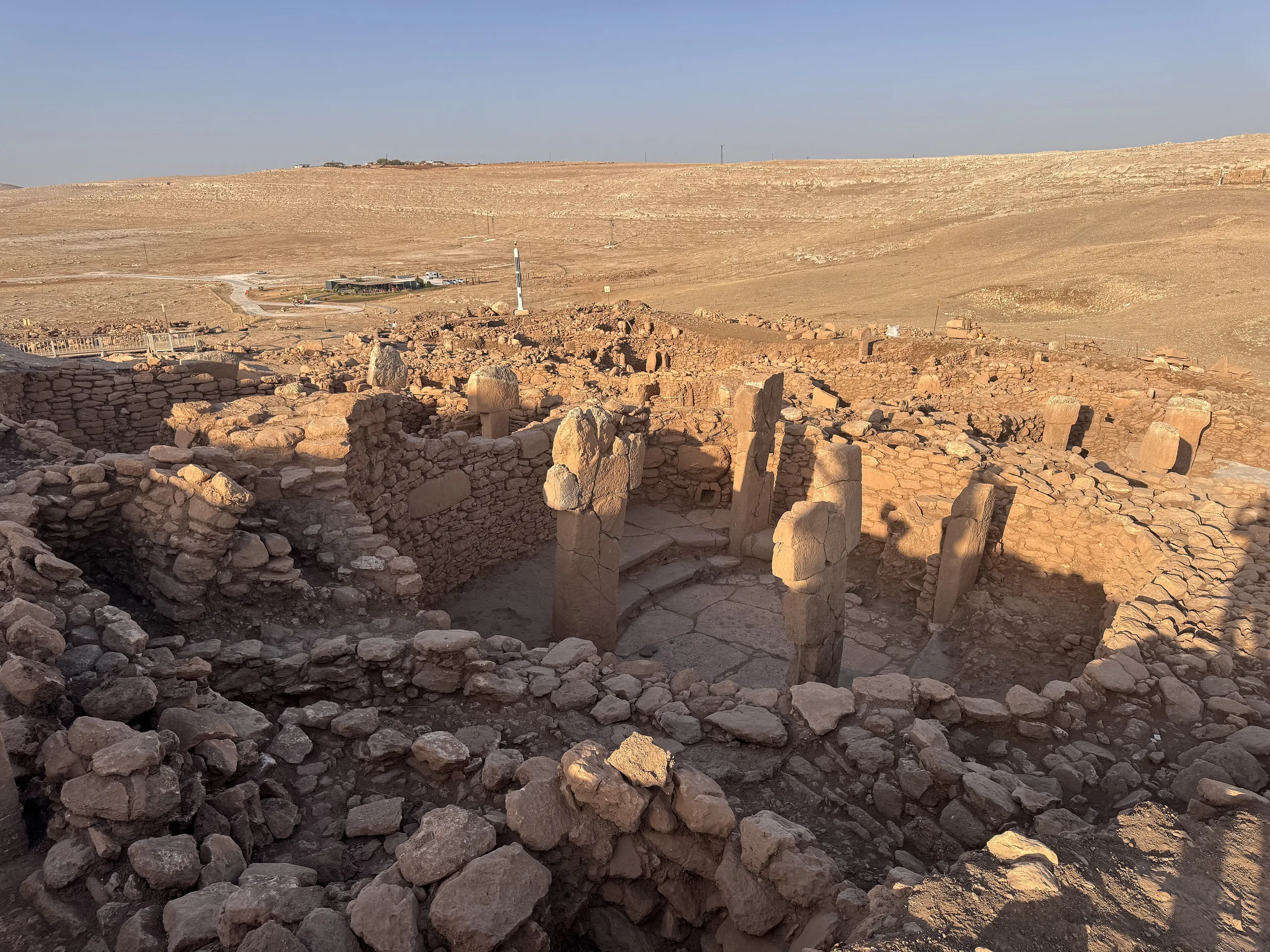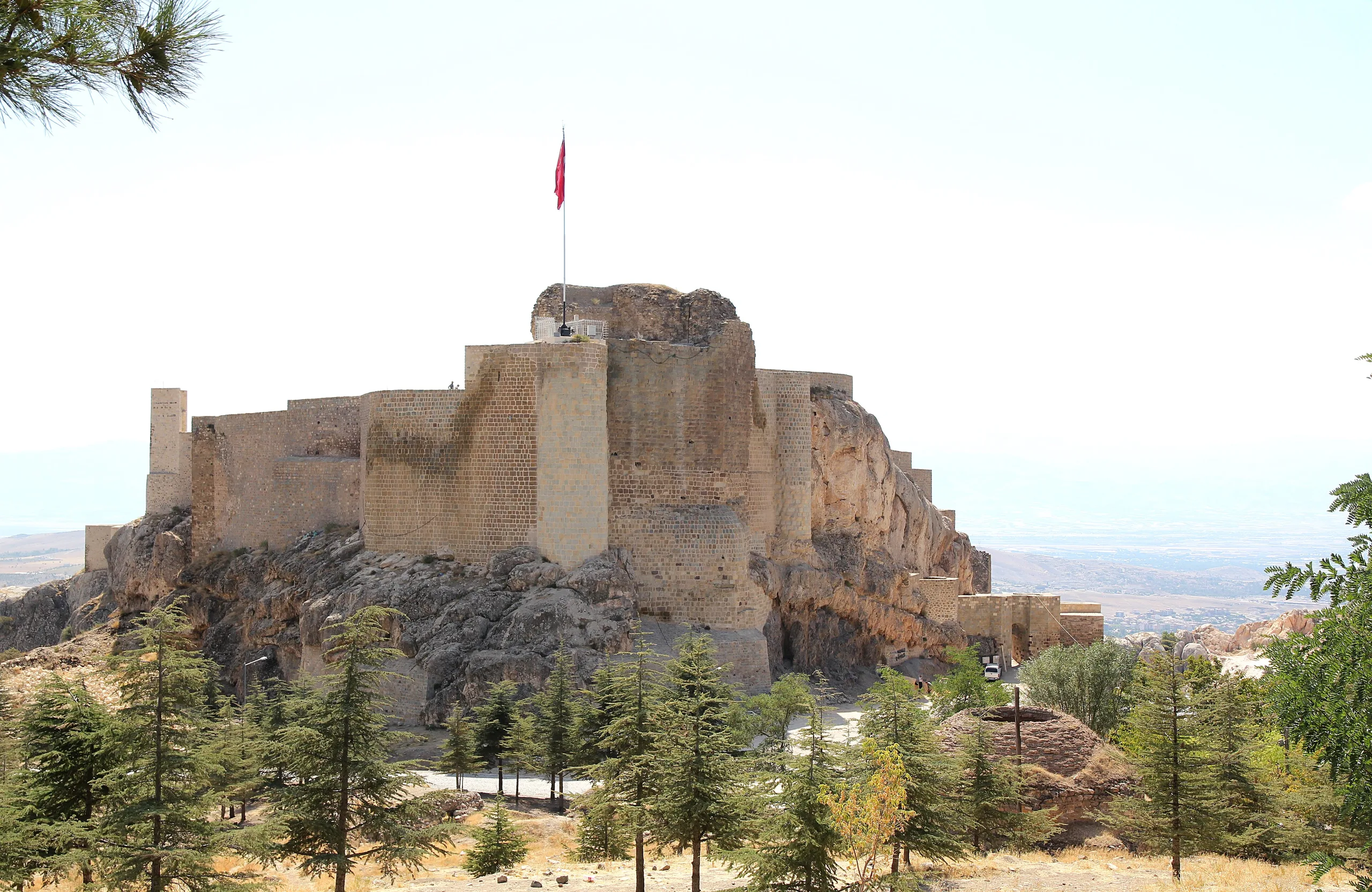
Diyarbakır's 5.8 km of walls, Inner Castle and the Hevsel Gardens by the Tigris span Roman to Ottoman history; a World Heritage Site since 2015.
Diyarbakır Fortress and Hevsel Gardens Cultural Landscape is a place (Castle) in Turkey, Diyarbakir. Main periods: Hellenistic Period, Roman Period, Byzantine Period, Seljuk Period, Ottoman Period. It was inscribed on the UNESCO World Heritage List in 2015.
This property combines a walled city on a basalt escarpment in the upper Tigris basin and the fertile gardens that link it to the river. UNESCO inscribed it in 2015.
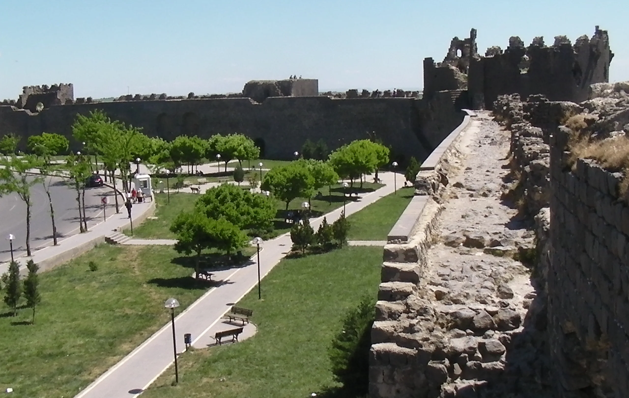
The roughly 5.8 km of walls are a stone witness to Roman, Sasanian, Byzantine, Islamic and Ottoman eras, while the Hevsel Gardens fed and watered the city and still form a green belt between town and Tigris.
Setting
ICOMOS says Diyarbakır lies on the eastern edge of a gently sloping wide basalt plateau reaching from Karacadağ towards the Tigris, around 650 m above sea level and 70-80 m above the river valley. UNESCO states the property as 521.23 hectares with a 1,660.57-hectare buffer zone. The coordinates on this page come from Wikidata.
History
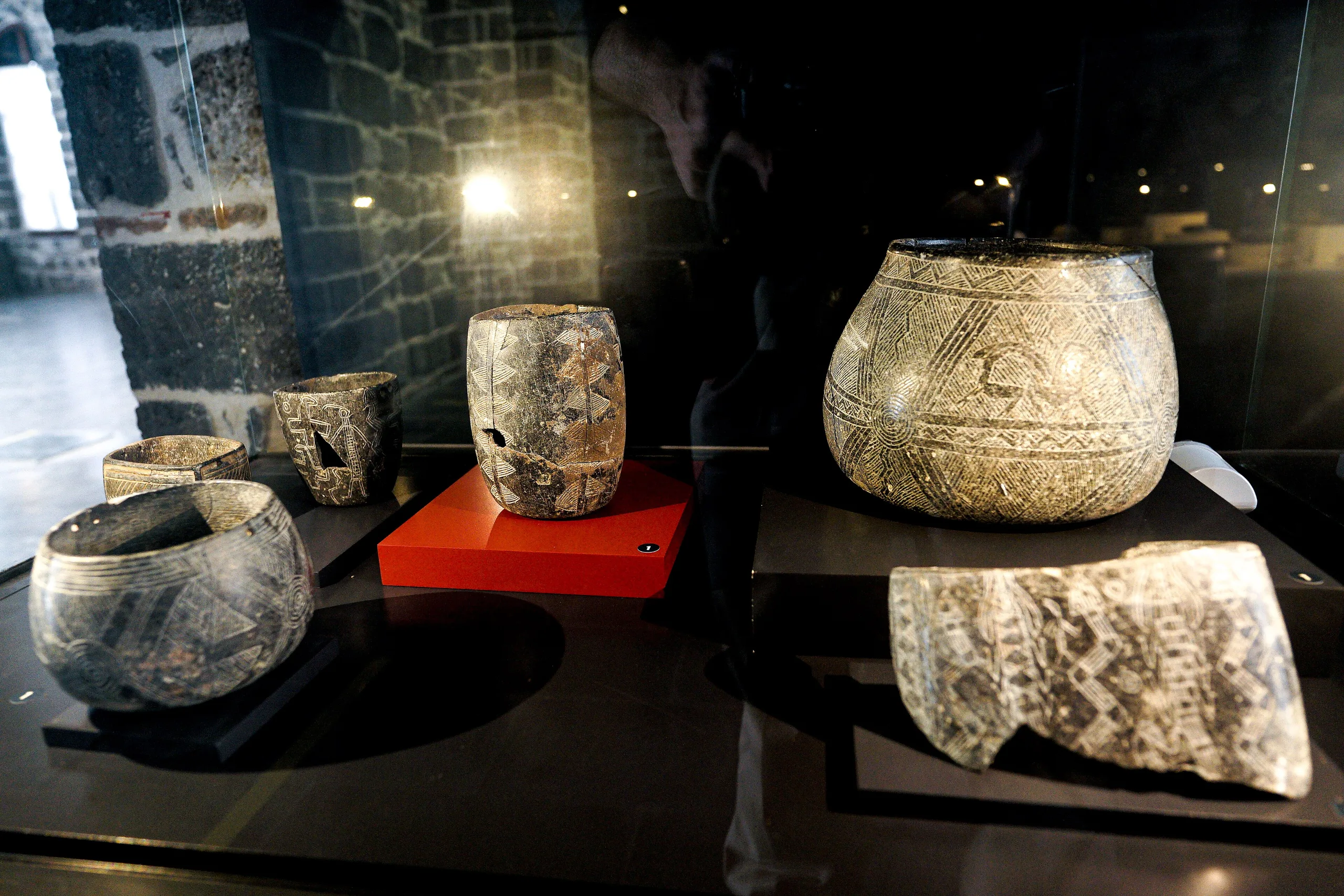
ICOMOS dates the first written mention of the city to 866 BC and notes that the name Amidi or Amida appears on a sword hilt of Adad-nirari (1310-1281 BC). Roman and Byzantine sources call it Amida; the name Diyarbakır came into use from the 1900s and was made official by a Council of Ministers decision in 1937. A Neolithic settlement at Çayönü in the area has been excavated and dated to 9300-6300 BC.
In Roman times the city grew in stages to its final extent, and a Latin inscription on the North Gate refers to rebuilding in the time of Constantine. ICOMOS writes that after the Treaty of Jovian handed Nisibis to the Persians, Diyarbakır became the new metropolis of Roman Mesopotamia and the walls were extended south-west for the newcomers. The city fell to Islamic forces after a five-month siege between 634 and 661 and became a provincial capital in 728. Parts of the walls were destroyed in Byzantine attacks in 899 and rebuilt.
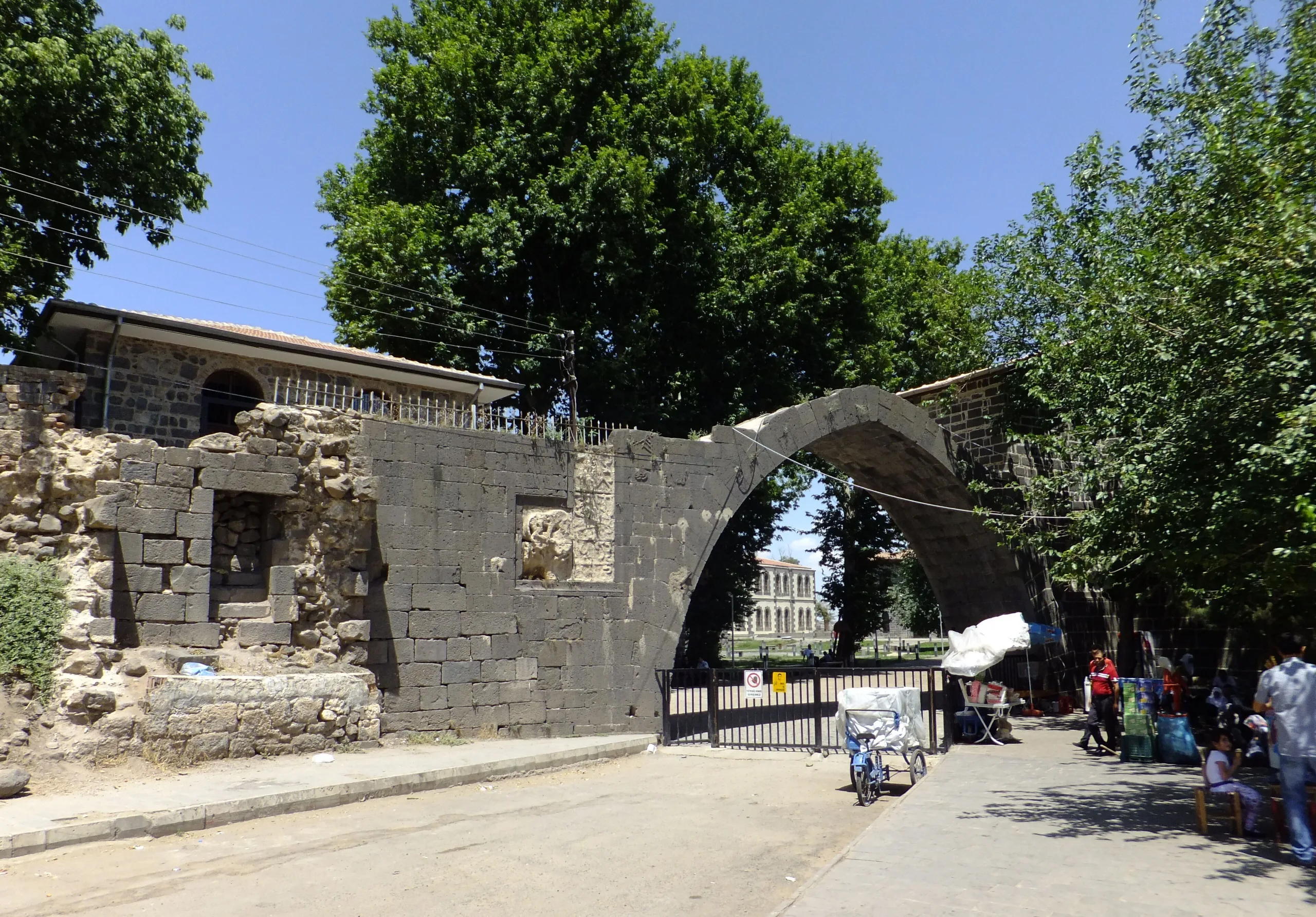
The Seljuks took the city in 1085 after a long siege that wrecked the Hevsel Gardens; between 1085 and 1093 towers 15, 32, 42 (the Malik Shah or Nur Tower) and 63 (the Fındık Tower) were built. The Artuqids occupied Diyarbakır from 1183; their palace was found in excavations of 1961-1962, and the Artuqid Arch at the citadel entrance dates from this period, its 1206-07 inscription falling in the reign of Mahmud. The outer walls were reduced under the Ayyubids (1232-1240). Timur entered through a breach in the wall in 1394 and in 1403 gave the city to the Artuqid Kara Yülük Osman Bey. The Aq Qoyunlu made it their first capital in 1401-1415, and silk was raised in the Hevsel Gardens. The Ottomans took Amid in 1515 and ruled until 1922.
ICOMOS adds that in 1930 the governor of the time, Nizamettin Efendi, had the northern and southern sections of the walls demolished on the grounds that they kept the city from airing.
Main features
The Inner Castle (Amida Mound)
According to ICOMOS, the Inner Castle is the Amida Mound, where traces of the earliest settlement appear, standing on rocks known as Fiskaya in the north. Every civilization that ruled the city used it as a control centre, and it reached its present size in Ottoman times. It has four gates (Oruç, Saray, Fetih and Küpeli) and 19 towers, and holds a prison, church, courthouse, museum, the Lion Fountain and the Prophet Suleiman Mosque; an Inner Castle museum project started in 2000.
The city walls (Dişkale)
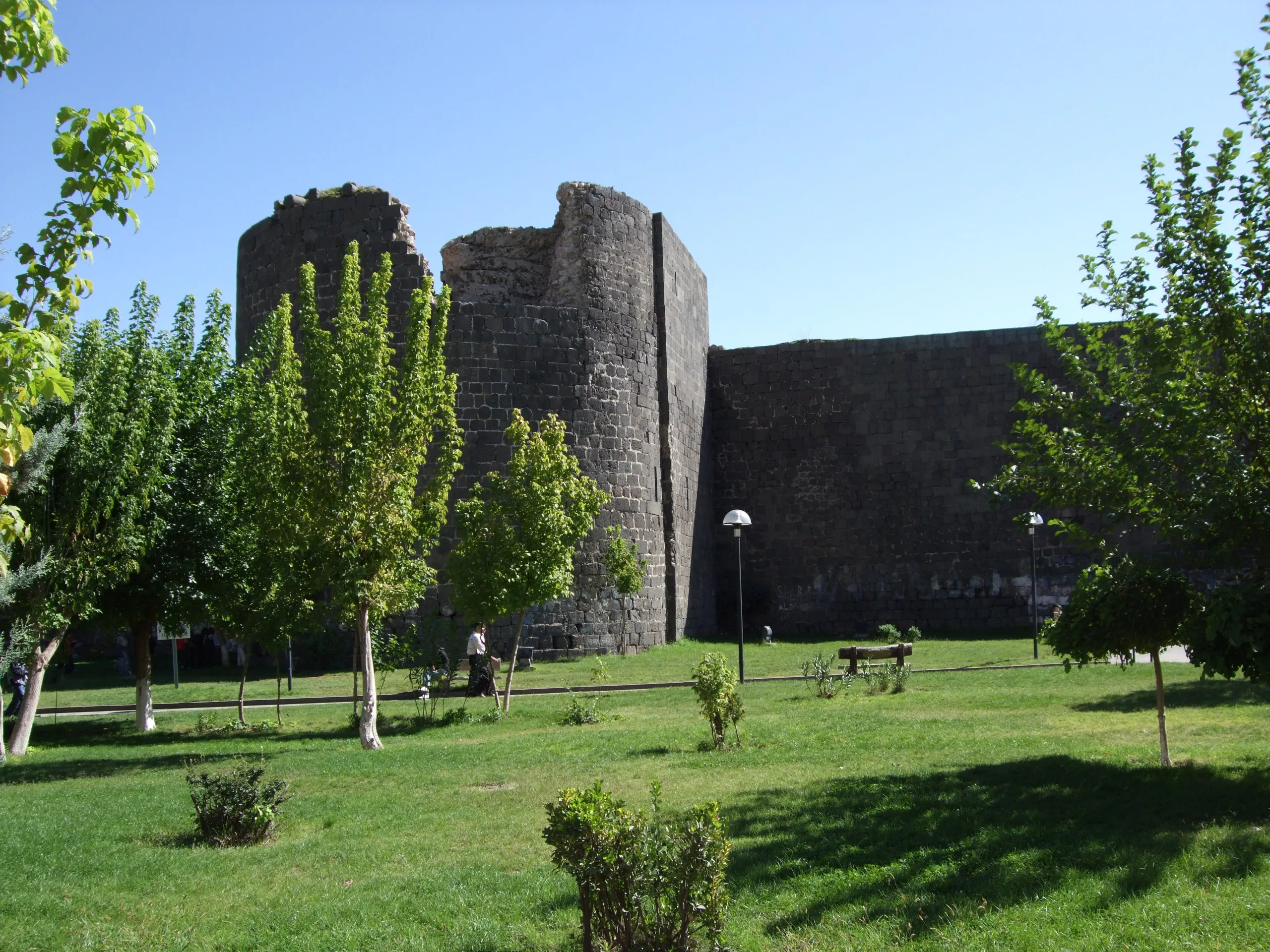
ICOMOS reports that the outer walls reached their present extent in the 4th century under Roman rule. They are 5,200 m long, or 5,800 m with the Inner Castle walls, and between 5 and 12 m thick, built of local basalt, limestone and brick. They carry 82 towers and buttresses of square, round and polygonal shape, and 63 inscriptions from different periods; six are Byzantine (four Greek, one Latin), the rest Islamic.
The Hevsel Gardens
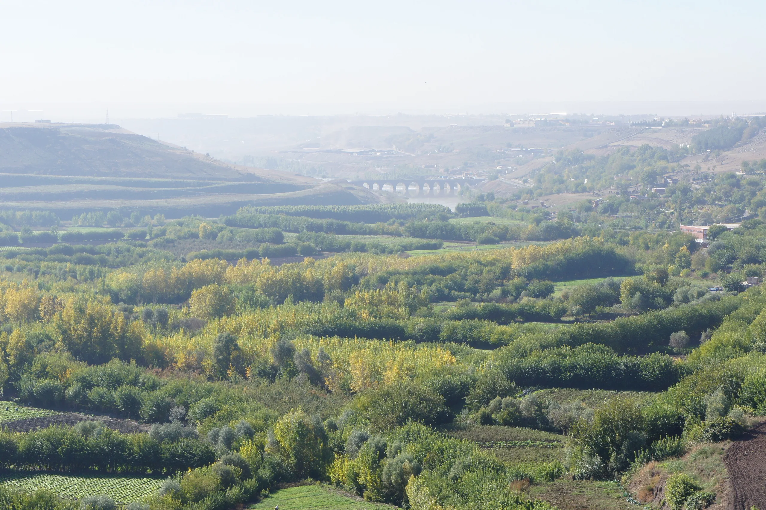
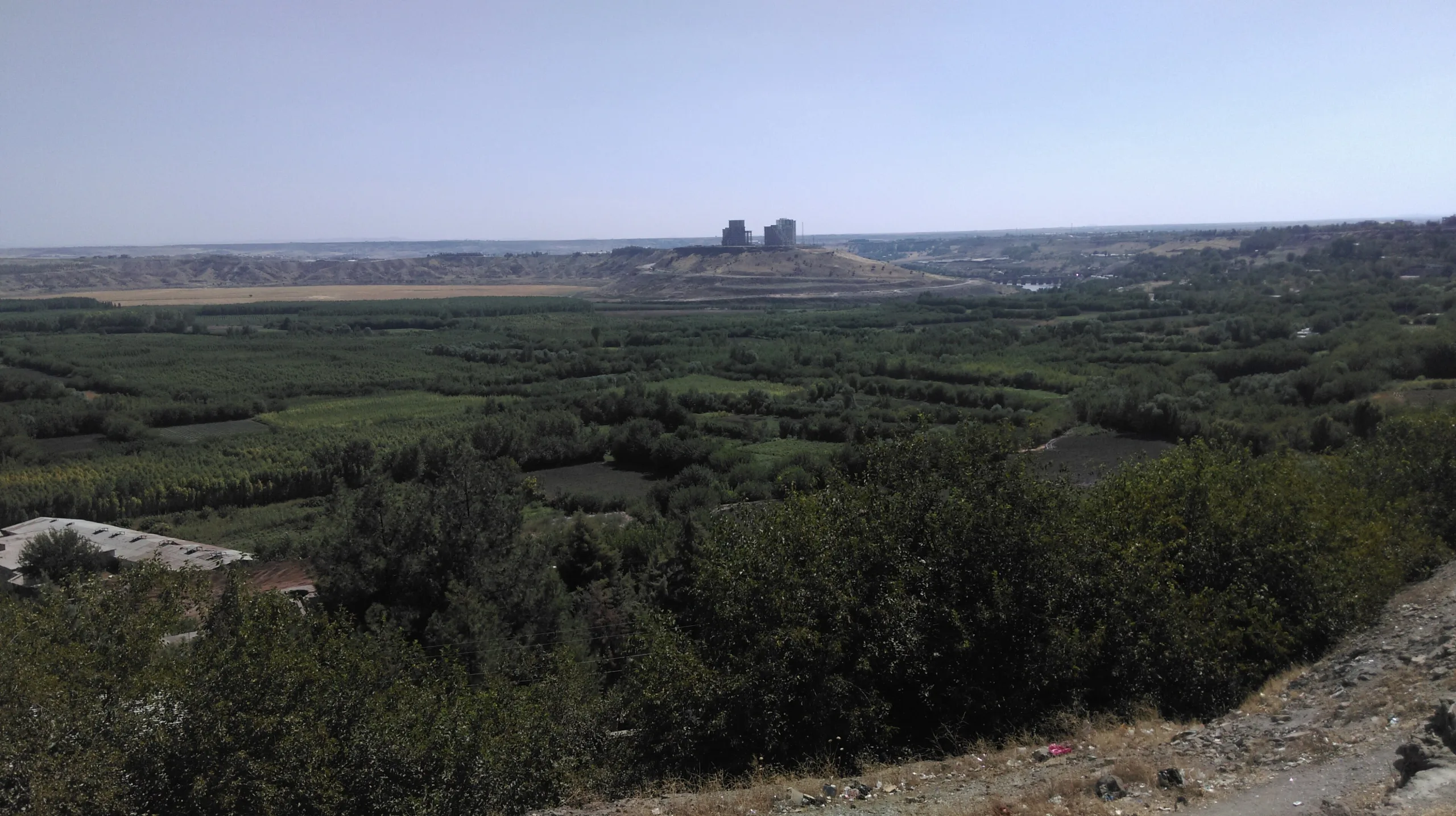
The gardens have existed since the founding of the city and, ICOMOS says, supplied residents with fruit and vegetables until the 1960s. They were once entirely planted with mulberry trees; today of about 4,000 decares, 1,000-1,500 are poplar woods and 2,500 are used for fruit and vegetable farming. About 189 bird species are recorded.
The Ten-Eyed Bridge
About 3 km south of the city, at the foot of Kırklar Hill, the Ten-Eyed Bridge was built in 1064-1065 by the architect Ubeyd, according to its inscriptions, though some researchers think it older. It was first called the Silvan Bridge because it stood on the Silvan road.
World Heritage and protection
The property was inscribed in 2015 under criterion (iv) alone. UNESCO sees in the walls and gates, with repairs and additions since Roman times, inscriptions and the Tigris landscape, a testimony to many periods of regional history. Integrity is considered vulnerable because of unauthorised settlement at the foot of the citadel, blocked drains, water-quality problems and upstream dams. The Inner Castle is a first-degree archaeological site, and the walls are covered by the Suriçi urban site. UNESCO adds that the management arrangements are still not working in full.
Visiting
No single official visitor page was found for the site; for hours and conditions consult the Diyarbakır provincial culture and tourism directorate and municipal announcements.
Gallery
Frequently asked questions
How long are the Diyarbakır walls?
How many inscriptions are on the walls?
When was it inscribed on the World Heritage List?
What are the Hevsel Gardens?
When was the Ten-Eyed Bridge built?
What was the old name of the city?
Why were sections of the walls demolished?
What are the opening hours and ticket prices?
Sources (12)
- Diyarbakır Fortress and Hevsel Gardens Cultural Landscape - World Heritage List 1488 — UNESCO World Heritage Centre
- Advisory Body Evaluation No 1488: Diyarbakır Fortress and Hevsel Gardens Cultural Landscape (ICOMOS, 2015) — ICOMOS / UNESCO
- Diyarbakır Fortress and Hevsel Gardens Cultural Landscape (Wikidata Q20963673) — Wikidata
Photo credits
- Photo: Dosseman, CC BY-SA 4.0 — Wikimedia Commons (resized)
- Photo: Brian Dell, Public domain — Wikimedia Commons (resized)
- Photo: R Prazeres, CC BY-SA 4.0 — Wikimedia Commons (resized)
- Photo: MikaelF, CC BY-SA 3.0 — Wikimedia Commons (resized)
- Photo: Gomada, CC BY-SA 3.0 — Wikimedia Commons (resized)
- Photo: - Ozymandias -, CC BY-SA 4.0 — Wikimedia Commons (resized)
- Photo: - Ozymandias -, CC BY-SA 4.0 — Wikimedia Commons (resized)
- Photo: Ramazan B., CC BY 3.0 — Wikimedia Commons (resized)
- Photo: Dosseman, CC BY-SA 4.0 — Wikimedia Commons (resized)