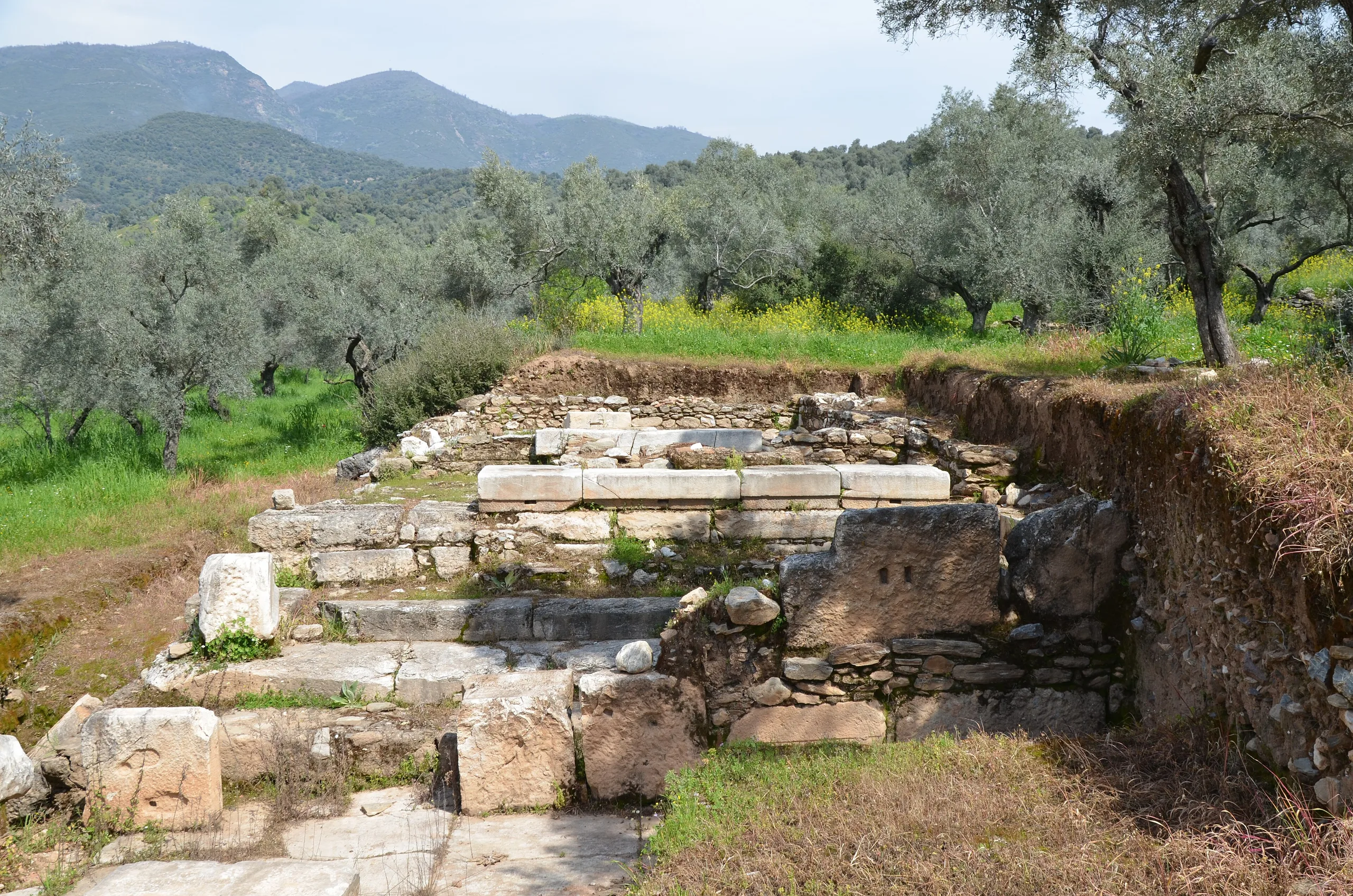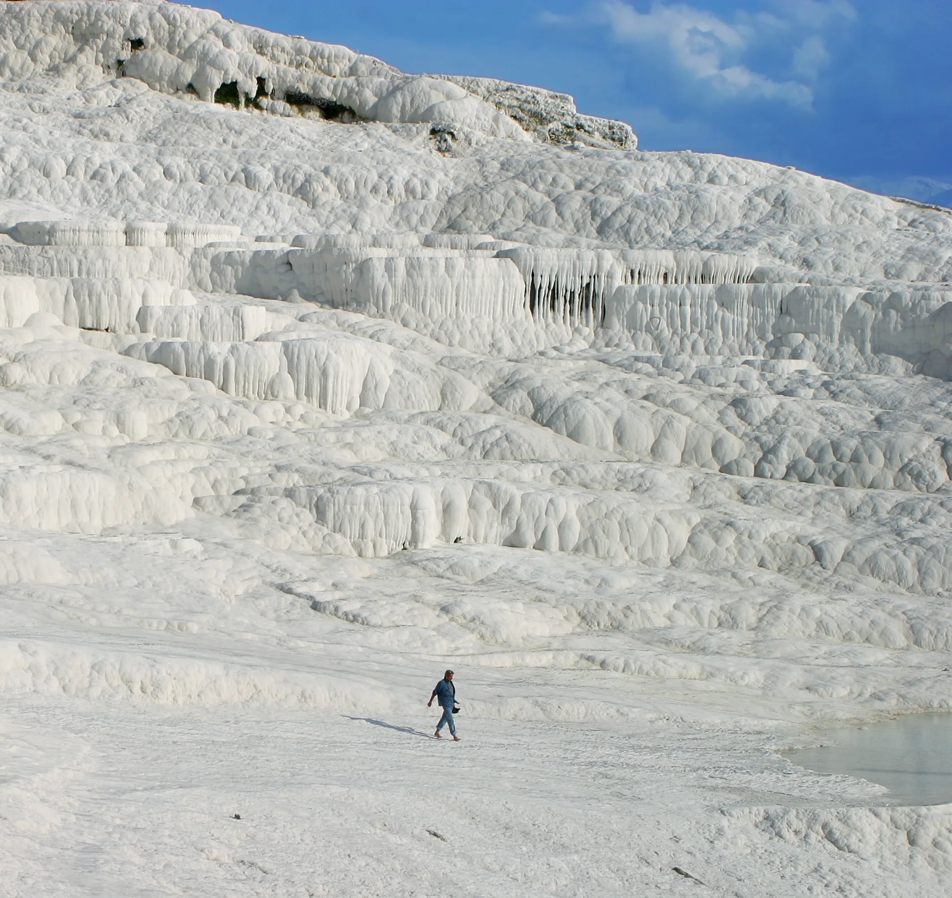
Hierapolis is an ancient spa and pilgrimage city beside the Pamukkale terraces near Denizli; with the travertines it has been a World Heritage Site since 1988.
Hierapolis (Pamukkale) is an ancient city located in Turkey, Denizli. Main periods: Hellenistic Period, Roman Period, Byzantine Period. It was inscribed on the UNESCO World Heritage List in 1988.
Hierapolis rose beside the white terraces of Pamukkale, about 18 km north of Denizli according to the ministry. Hot springs, an active fault and older cult places came together here, which made the city a centre of healing and of belief; the ministry's own heading calls it the city of water and faith.
The ruins and the travertine pools form one UNESCO property, inscribed in 1988 under both cultural and natural criteria. Within its boundary lie a Roman theatre, a gate to the underworld, the shrine of an apostle and a landscape of mineral basins.
Setting and geology
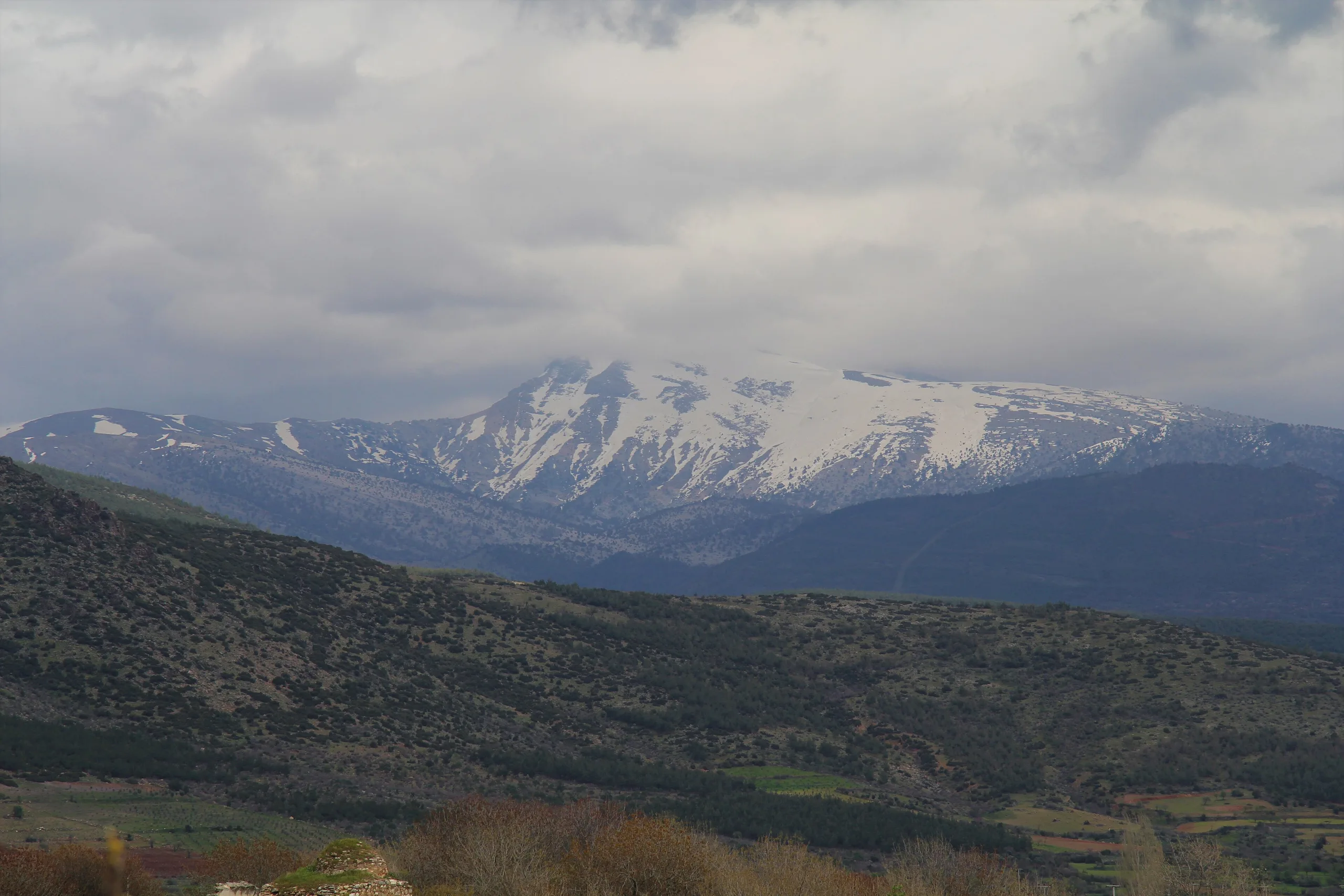
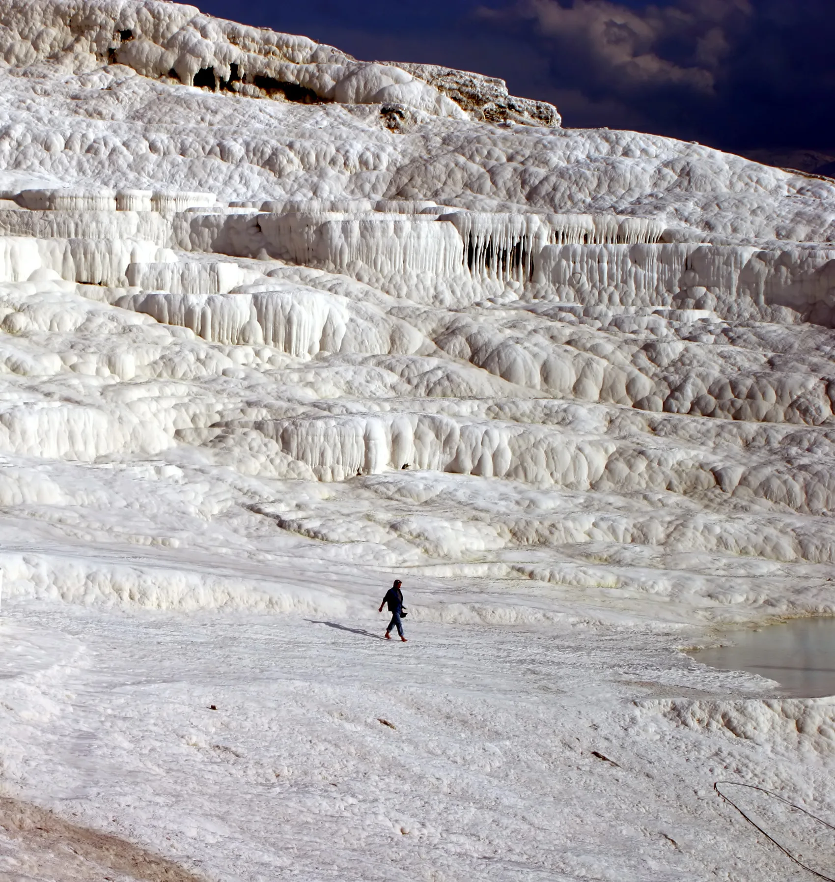
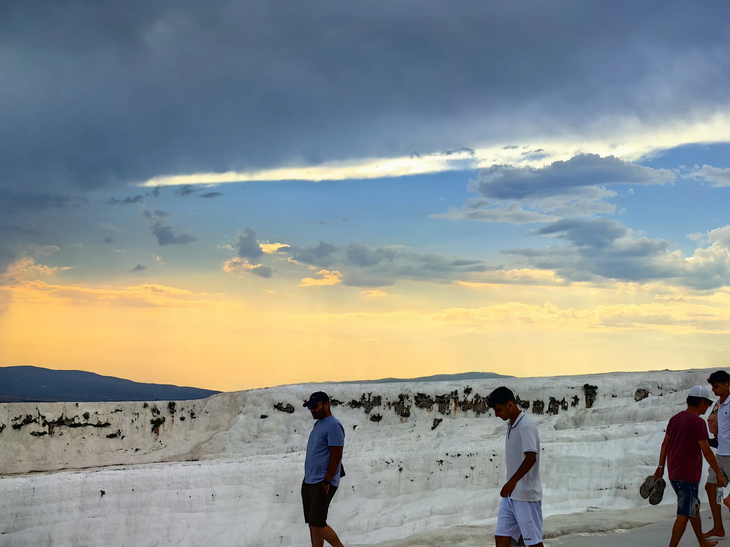
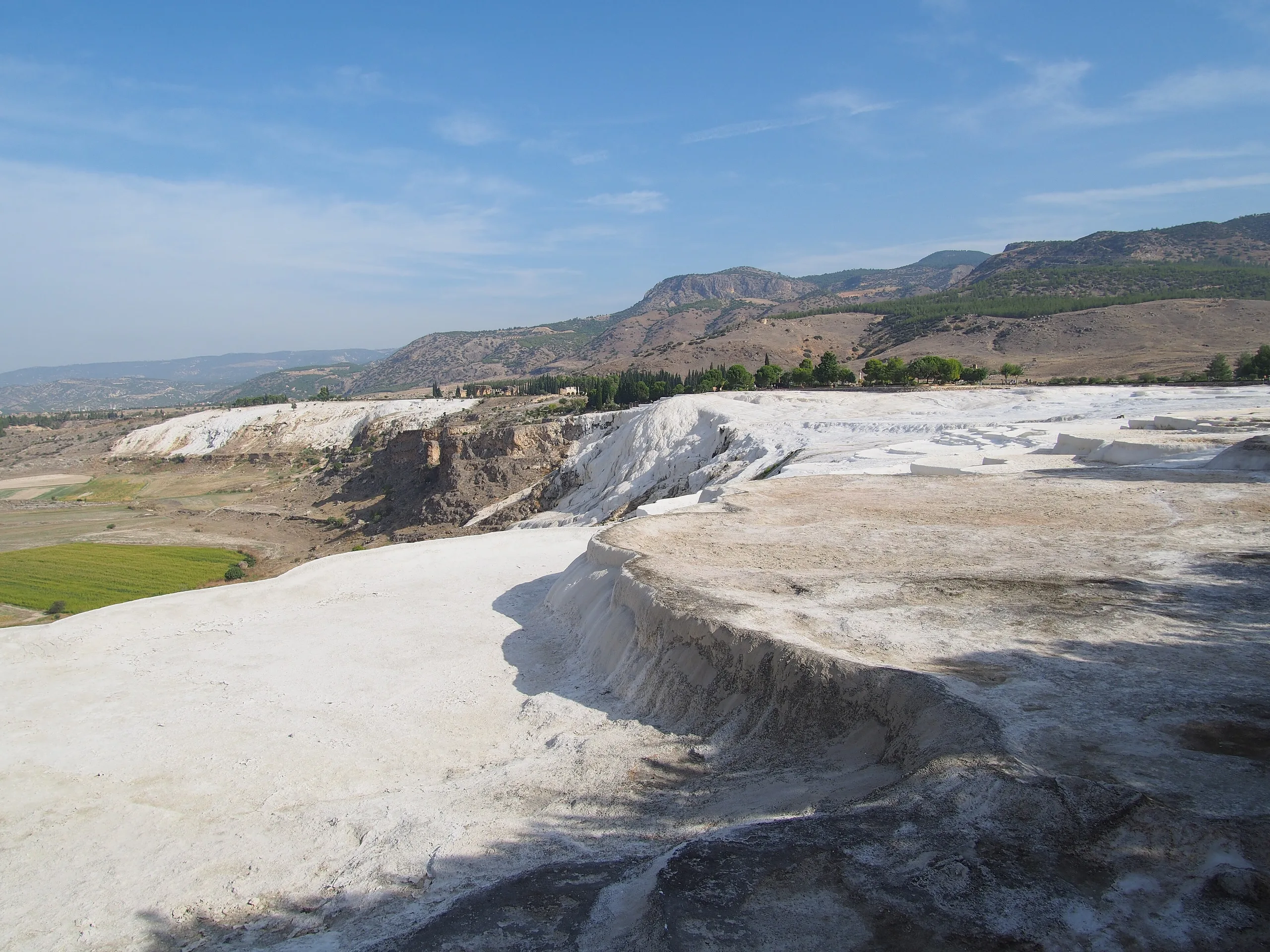
The distance to Denizli is given differently: 18 km by the ministry, 22 km to the north-north-east by IUCN's 1988 evaluation. The site looks over the Çürüksu plain from the foothills of the Çökelez mountains. UNESCO speaks of a cliff of nearly 200 m, ICOMOS of 100-200 m, and IUCN of a highest terrace about 200 m above the plain, with the formations running some 6 km between the villages of Pamukkale and Karahayıt.
The springs emerge at roughly 35 °C; IUCN records a flow of 25 litres a second from four sources. D'Andria explains that the still-active Maiandros fault carries the water up, and that along a front longer than a kilometre it leaves calcium carbonate that forms white crusts. According to UNESCO the stepped pools vary from under a metre to as much as six metres in height. The spring water also feeds a network of canals that stretches 70 km north-west to Alaşehir and westward along the Menderes valley, and IUCN says travertine has built up to 10 m on some of these channels.
ICOMOS says the Turks gave the name Pamukkale, meaning cotton castle. The ministry derives Hierapolis from Hiera, wife of Telephos; D'Andria translates the name as holy city and ties it to the sacred reputation of the natural phenomena.
History
Sources do not agree on the founding. The ministry credits Eumenes II of Pergamon in the second century BCE. UNESCO links the foundation to the late second century BCE and the Attalid kings, while IUCN also says late second century. ICOMOS speaks of a thermal station founded at that time and doubts that Eumenes (c. 197-159 BCE) started it, though the idea of a planned Hellenistic city came from the Attalid dynasty. An Italian foreign-ministry report of 2018 says Macedonian Greeks founded the city in the Hellenistic period, in the third and second centuries BCE. The same report notes structures of the eighth-seventh centuries BCE found in an emergency dig near the North Gate, and that ancient authors mention a town here in the age of Croesus.
The hot water was also used to wash and dye wool, and ICOMOS describes a textile centre and a cosmopolitan population of Anatolians, Greco-Macedonians, Romans and Jews. UNESCO dates the transfer to Rome to 133 BCE, whereas ICOMOS writes that Rome gained full control in 129 BCE together with the lands of Attalus III. In the first century CE the city suffered two serious earthquakes (ICOMOS). The ministry and UNESCO stress the quake of about 60 CE; the ministry adds that most standing buildings date from after it, when the city took on the look of a grid-planned Roman town. UNESCO and ICOMOS put its peak in the second and third centuries.
Tradition says the apostle Philip was killed here. The ministry and UNESCO give about 80 CE, ICOMOS about 87 under Domitian. D'Andria recalls that the bishop Polycrates of Ephesus, around 190, mentioned the tombs of Philip and John in a letter to Rome. After Constantine founded Constantinople in 330 the town became a bishopric and, in ICOMOS's words, one of two metropolises of Phrygia Pacatiana; a cathedral, a baptistery and churches of the fourth to sixth centuries, plus a fortress on the cliff, belong to this phase.
The ministry outlines the end of the city as follows: a major earthquake in the seventh century, a small town in the twelfth, Seljuk rule in the thirteenth and total abandonment after a fourteenth-century quake. Excavations add detail from D'Andria: the church of St Philip was badly damaged by an earthquake in the later seventh century, repaired and repaved in the early ninth (a coin of Nikephoros I, 802-811, dates the work), and finally ruined around the tenth century by another quake.
People and episodes
The ministry names Eumenes II as the founder and Telephos and Hiera as the source of the name. The apostle Philip gave the city its religious weight, and Bishop Theodosios is named on the later-sixth-century church built around Philip's tomb. Strabo is one of the ancient writers who describe the Ploutonion. On the modern side, Paolo Verzone, an engineer at the Turin Polytechnic, founded the Italian mission in 1957; Francesco D'Andria has led it since 2000, and Grazia Semeraro appears as mission director in the 2018 report.
Principal monuments
Main street, gates and public buildings
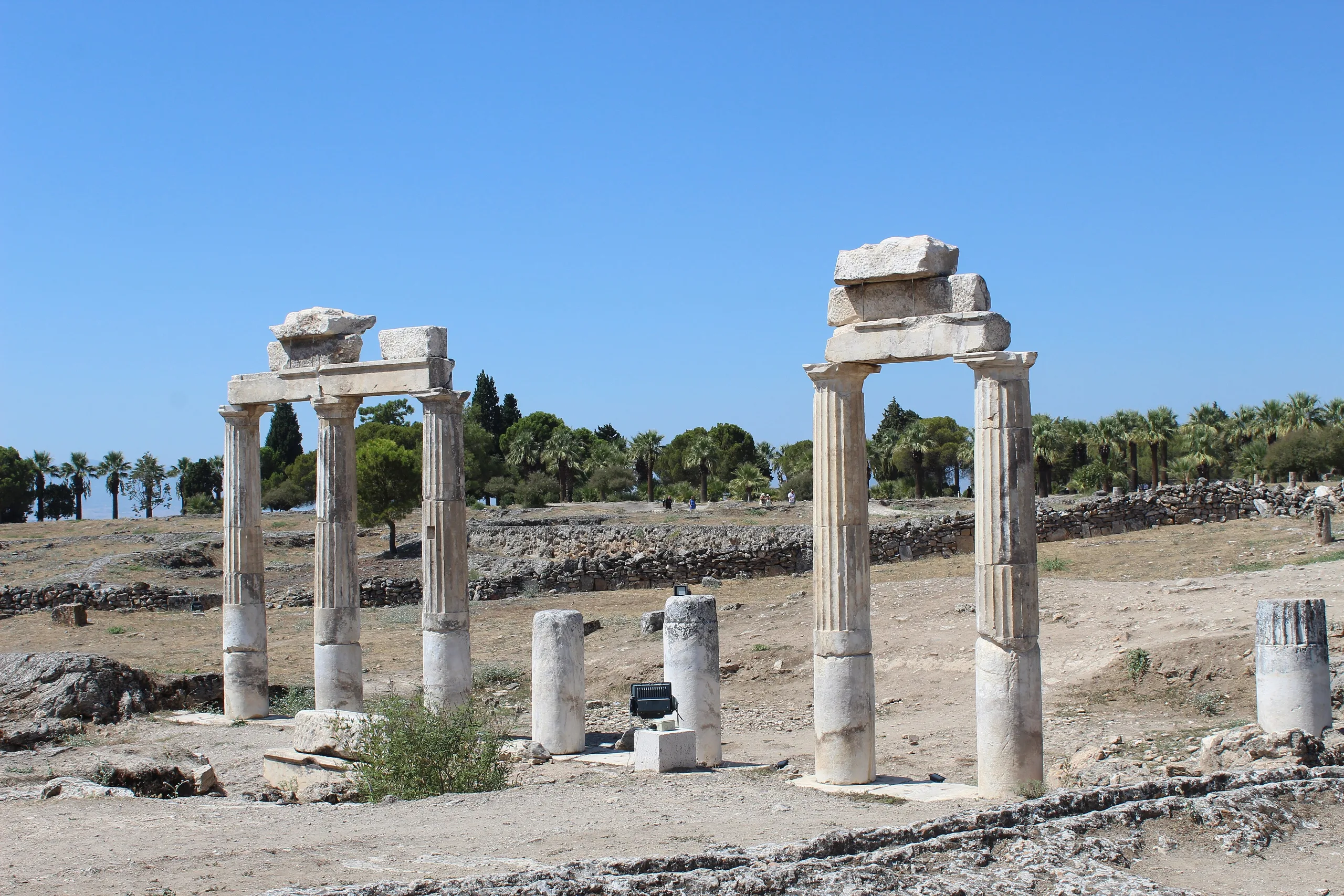
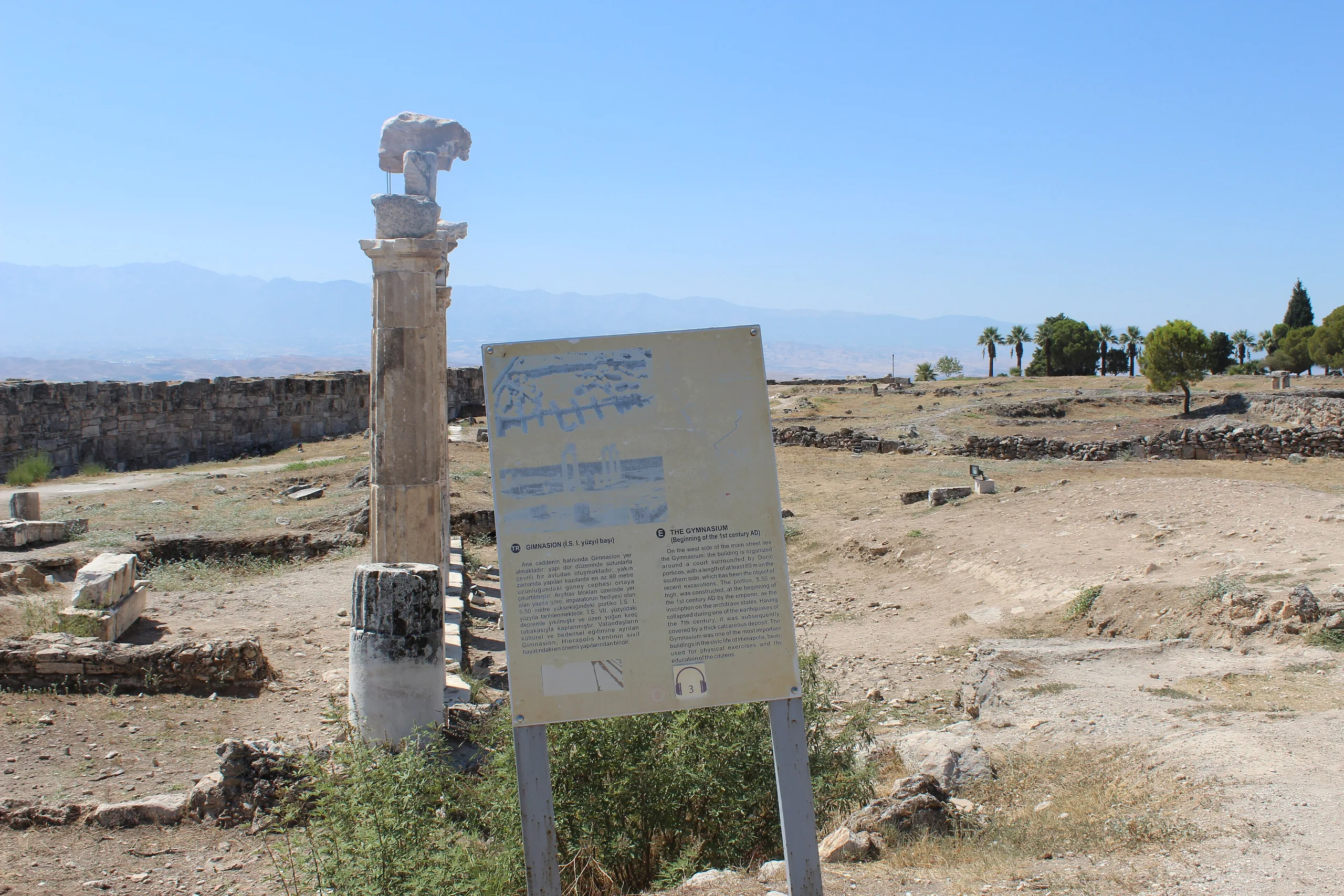
The ministry describes a grid-planned town with two monumental gates and a main street about 1 km long that cuts the city in two, lined by colonnades, public buildings, shops and workshops. It lists the Bath-Basilica, the Latrina, the theatre, the Plutonion, the Temple of Apollo, canals and nymphaea, churches including the St Philip Martyrium, and the Great Bath Complex. UNESCO mentions restoration of the colonnaded street, the gymnasium, the Latrina east of the Domitian Gate and the funerary monuments of the northern cemetery with Tripolis Street; the earthquake-damaged Bath-Basilica was strengthened.
The theatre
The theatre dates to the Severan period, and its stage front carries a frieze showing a procession and a sacrifice for the Ephesian Artemis. D'Andria explains that a Byzantine-era earthquake dropped the stage building into the orchestra, that about 90 per cent of the original marble survived, and that an anastylosis project funded by the culture ministry, FIAT-Tofaş and the Koç Foundation was completed in 2013. UNESCO reports performances attended by thousands.
The Ploutonion and the Sanctuary of Apollo
UNESCO and ICOMOS say the Temple of Apollo stands on a fault that released harmful vapours and is linked with underworld deities. The Ploutonion is a cave mouth on the rock step made by the fault, where water at about 34 °C comes out. D'Andria describes carbon dioxide gathering there, enough to kill small animals and birds that approach the warmth by night, which the ancients read as divine action. Systematic mapping led to its identification in 2012; a marble inscription above the cave entrance is dedicated to Pluto and Kore. In the sixth century CE rubble from the sanctuary was heaped against the entrance, and from that fill came a giant Hades, a Cerberus and snake statues. In 2018 the theatron was rebuilt, portico columns were raised, and a marble copy of the colossal Hades, made in Afyon, was installed.
The Martyrium of St Philip
ICOMOS describes an octagonal building northwest of the walls, at the top of a monumental stair, with chapels, polygonal halls and triangular rooms radiating from the central octagon toward a square block ringed by cells. UNESCO calls it the most important monument of the early Christian group and dates it to the fifth century, while the ministry says it was built after the Byzantines took the city in the fourth.
The Church of St Philip and the apostle's tomb
According to D'Andria, systematic excavation on the slope east of the Martyrium began in 2010 and uncovered the church around the apostle's tomb the following year. A first structure with healing pools was put up in the fourth century. In the later sixth century a three-aisled marble-decorated church, 35 by 21.50 m, replaced it. The templon with eight monolithic columns was reconstructed and the opus sectile floor restored; a fountain in front served ritual washing. Near the sanctuary a pilgrim from France was buried with lead badges collected at the shrines he had visited.
The necropolis
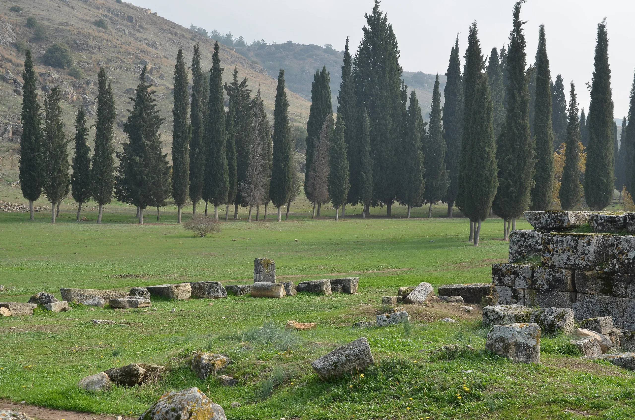
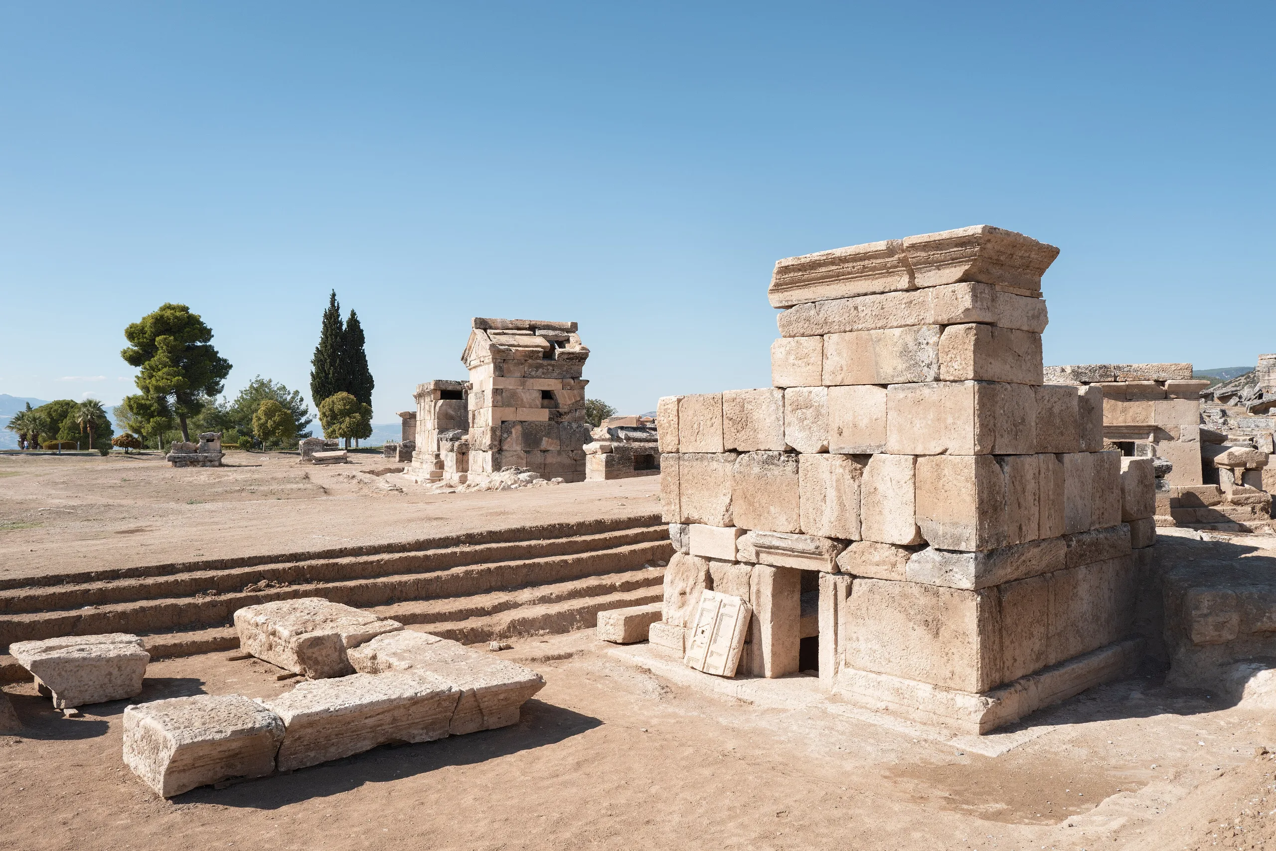
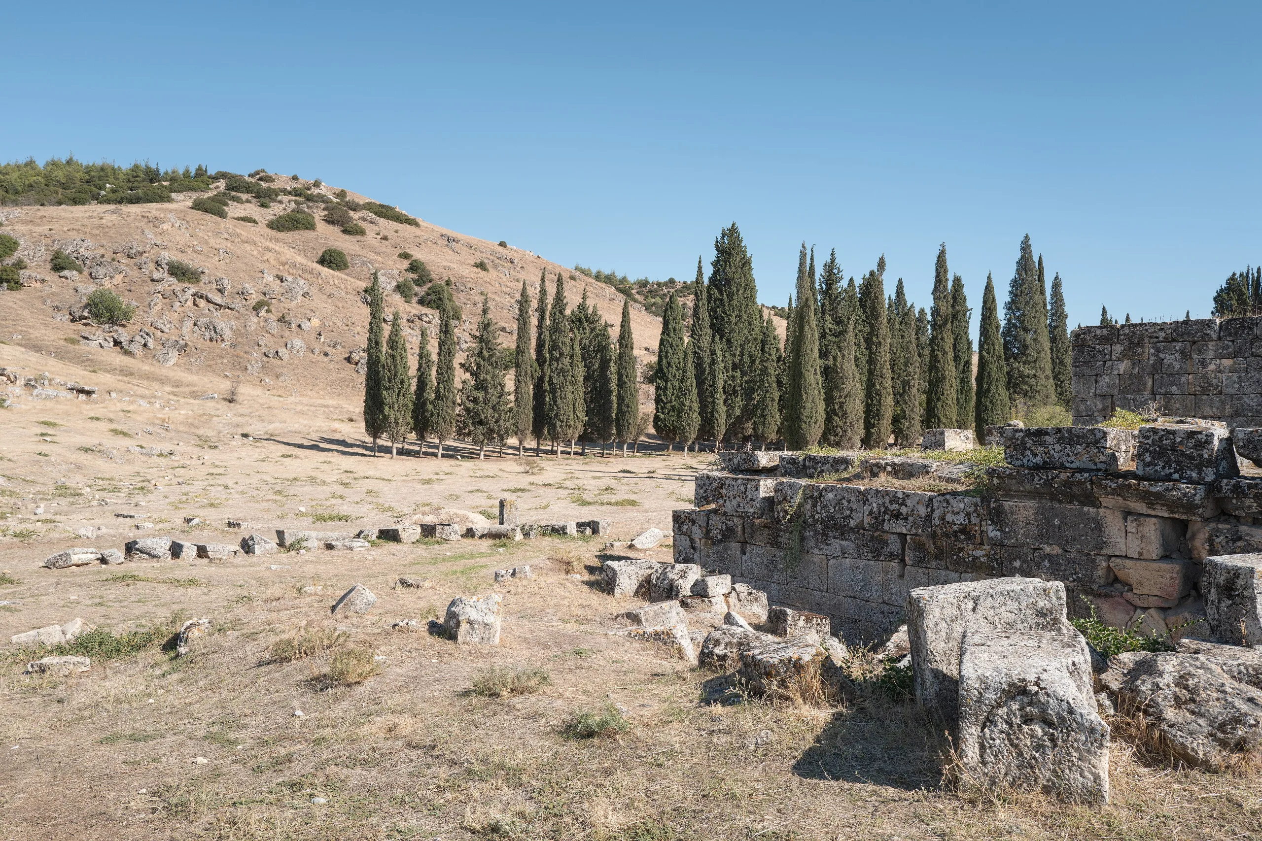
The ministry says the cemeteries north, south and east of the walls form the largest in south-west Anatolia; UNESCO and ICOMOS give a length above 2 km. Near the North Gate a far older Phrygian burial ground has appeared, with cremation graves in stone circles and pits of charcoal and ash.
Travertines and the ancient pool
UNESCO treats the travertines as the backdrop to the Greco-Roman town and part of one cultural landscape. Around the ancient agora, earthquakes and warm springs have created a small lake where visitors swim among ancient columns; UNESCO reports pollution and steady wear on the marble and notes a planned monitoring system.
Excavation history
The Italian Archaeological Mission began in 1957 under Paolo Verzone, at the suggestion of Arif Müfid Mansel, and celebrated sixty uninterrupted years in 2017. After D'Andria took over in 2000, specialists in surveying, bioarchaeology, archaeometry and computing sometimes outnumbered archaeologists among more than 80 participants. Because of the Maiandros fault, archaeoseismologists were brought in. Giuseppe Scardozzi's 53-sheet atlas at 1:1000 documented the surface remains, and it helped pinpoint the Ploutonion and the apostle's tomb. The Marmora Phrygiae project showed that the city mainly used local stone, with imports limited to some works, and a Norwegian team's DNA and strontium isotope studies of skeletons from the cemeteries are clarifying population movement.
The 2018 season, according to the Italian foreign ministry, ran with ministry permission under Grazia Semeraro of the University of Salento, in cooperation with the Denizli Museum and Pamukkale University. Restoration began at the Ploutonion in June; from September excavation covered the Apollo sanctuary, the temple nymphaeum, houses near the theatre and the necropolis. Kadir Özel supervised restoration work.
Finds and museums
The ministry lists the Denizli Hierapolis (Pamukkale) Archaeology Museum, together with Laodikeia, Tripolis and two other Denizli museums, among nearby places. Neither that page nor the other sources describe the displays. Prominent sculpture finds include the Hades, Cerberus and snakes from the Ploutonion fill and a smaller Hades from the theatre.
Myth and ancient writers
The ministry says the name may come from Hiera, wife of Pergamon's legendary founder Telephos. In antiquity the Ploutonion counted as one of the entrances to the underworld. Strabo (XIII.4.14) tells of bulls sacrificed and sparrows thrown into the cave dying at once, and excavated bones fit this: burnt remains, mostly of birds. The theatre frieze points to Ephesian Artemis, and the Temple of Apollo to underworld gods.
World Heritage status and protection
The Committee inscribed Hierapolis-Pamukkale in 1988 under criteria (iii), (iv) and (vii) (ref. 485). ICOMOS had recommended only (iii) and (iv) in 1987, and the decision text records that a natural criterion was added. The property covers 1,077 ha. According to UNESCO, the area was classed in 1980 as a first-degree site, both natural and archaeological, and a zone of roughly 66 km² gained special protection in 1990; hotels and the buildings by the thermal pool were taken away, private cars are barred, visitor access to the terraces is prohibited to keep the water flowing and the colour intact, and bathing areas have been designated.
Responsibility is shared between the ministries of Culture and Tourism and of Environment and Urbanism, Denizli Provincial Special Administration and other bodies, with a site management directorate coordinating, and the excavation director sits on the advisory board. UNESCO sees heavy tourism as the main threat, while IUCN in 1988 noted some 56,000 residents in nearby villages and no urgent threat to the terraces beyond natural events.
Visiting
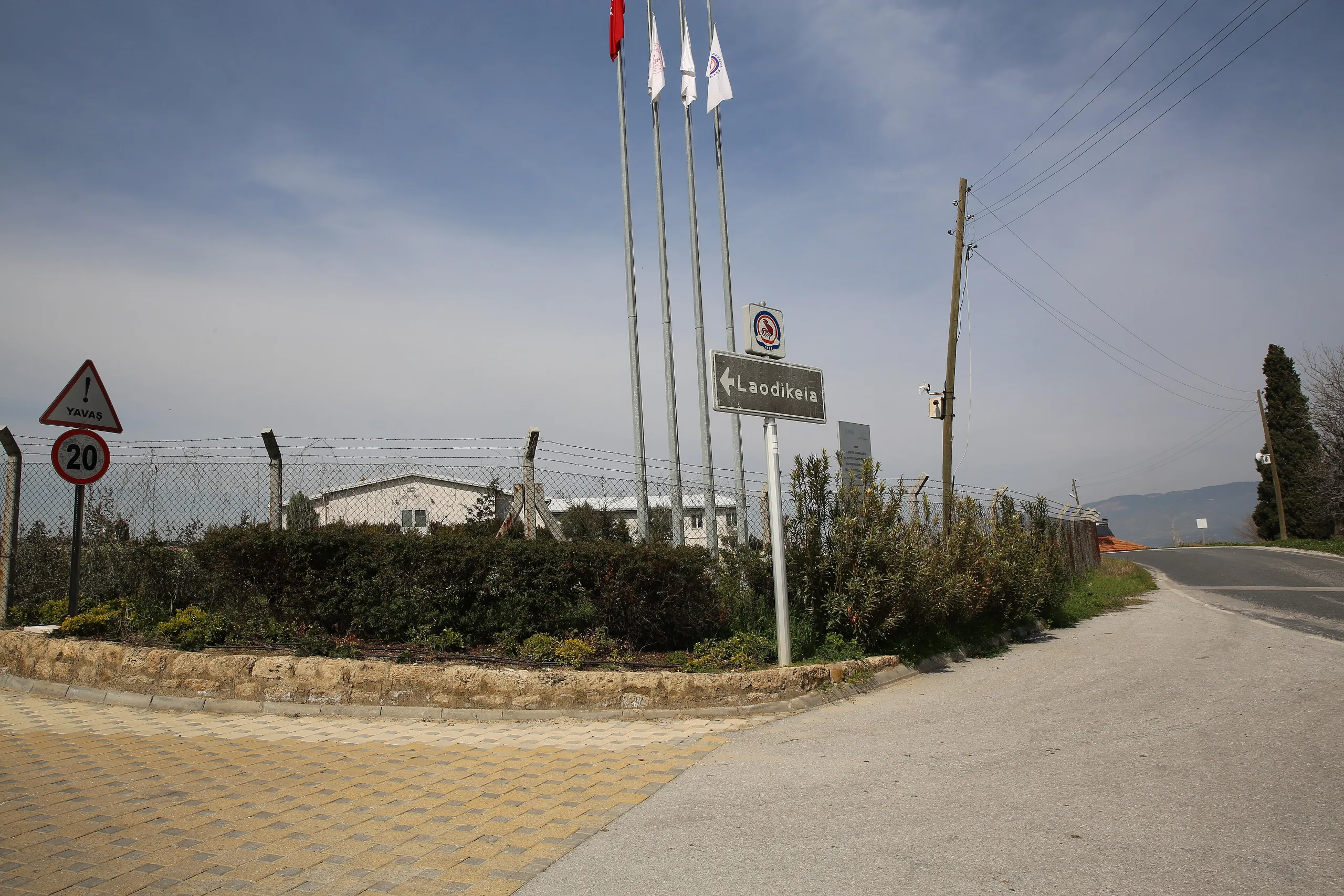
The ministry page states that the Museum Pass for Turkish citizens is valid. For opening hours, gates and prices, use the official page. The same page urges visitors not to leave without seeing the white travertines and lists Laodikeia, the Hierapolis museum and Tripolis nearby.
Gallery
Frequently asked questions
Where is Hierapolis, and how does it relate to Pamukkale?
Who founded Hierapolis, and when?
How did the Pamukkale travertines form?
What is the Ploutonion?
Did the apostle Philip die at Hierapolis, and where is his tomb?
When was the Hierapolis theatre built, and is it used today?
How large is the Hierapolis necropolis?
When did Hierapolis-Pamukkale join the World Heritage List?
Who excavates at Hierapolis?
Is the Museum Pass valid at Hierapolis?
Sources (17)
- Hierapolis (Pamukkale) Örenyeri / Hierapolis Pamukkale Travertine Archeological Site (TR ve EN sayfaları) — T.C. Kültür ve Turizm Bakanlığı, Müzeler ve Ören Yerleri
- Hierapolis-Pamukkale (World Heritage List, ref. 485) — UNESCO World Heritage Centre
- Hierapolis-Pamukkale ICOMOS değerlendirmesi (No 485), 22 Aralık 1987 — ICOMOS / UNESCO belge tabı
- Hierapolis/Pamukkale (Pleiades place 638860) — Pleiades
- Missione archeologica italiana nel sito di Hierapolis (Rete Diplomatica haberi, 22 Ekim 2018) — İtalya Dışişleri ve Uluslararası İş Birliği Bakanlığı
- Phrygia Hierapolisi. Türkiye'de İtalyan Arkeoloji Araştırmalarının Altmış Yılı (D'Andria, F.), Lycus 1, 2020 — Pamukkale Üniversitesi Arkeoloji Enstitüsü, Lycus dergisi
- Hierapolis-Pamukkale: IUCN değerlendirmesi (No 485), Nisan 1988 — IUCN / UNESCO belge tabı
- Karar 12 COM XIV.A: Inscription: Hierapolis-Pamukkale (Turkey) — UNESCO Dünya Mirası Komitesi (1988)
Photo credits
- Photo: Brocken Inaglory . Edit to improve clarity/colour and cropped for better composition by User:Diliff ., CC BY-SA 3.0 — Wikimedia Commons (resized)
- Photo: Brocken Inaglory, CC BY-SA 3.0 — Wikimedia Commons (resized)
- Photo: shankar s. from Dubai, united arab emirates, CC BY 2.0 — Wikimedia Commons (resized)
- Photo: Irdelix, CC BY-SA 4.0 — Wikimedia Commons (resized)
- Photo: rheins, CC BY 3.0 — Wikimedia Commons (resized)
- Photo: Giorgio Galeotti, CC BY-SA 4.0 — Wikimedia Commons (resized)
- Photo: Giorgio Galeotti, CC BY-SA 4.0 — Wikimedia Commons (resized)
- Photo: Interfase, CC BY-SA 4.0 — Wikimedia Commons (resized)
- Photo: Interfase, CC BY-SA 4.0 — Wikimedia Commons (resized)