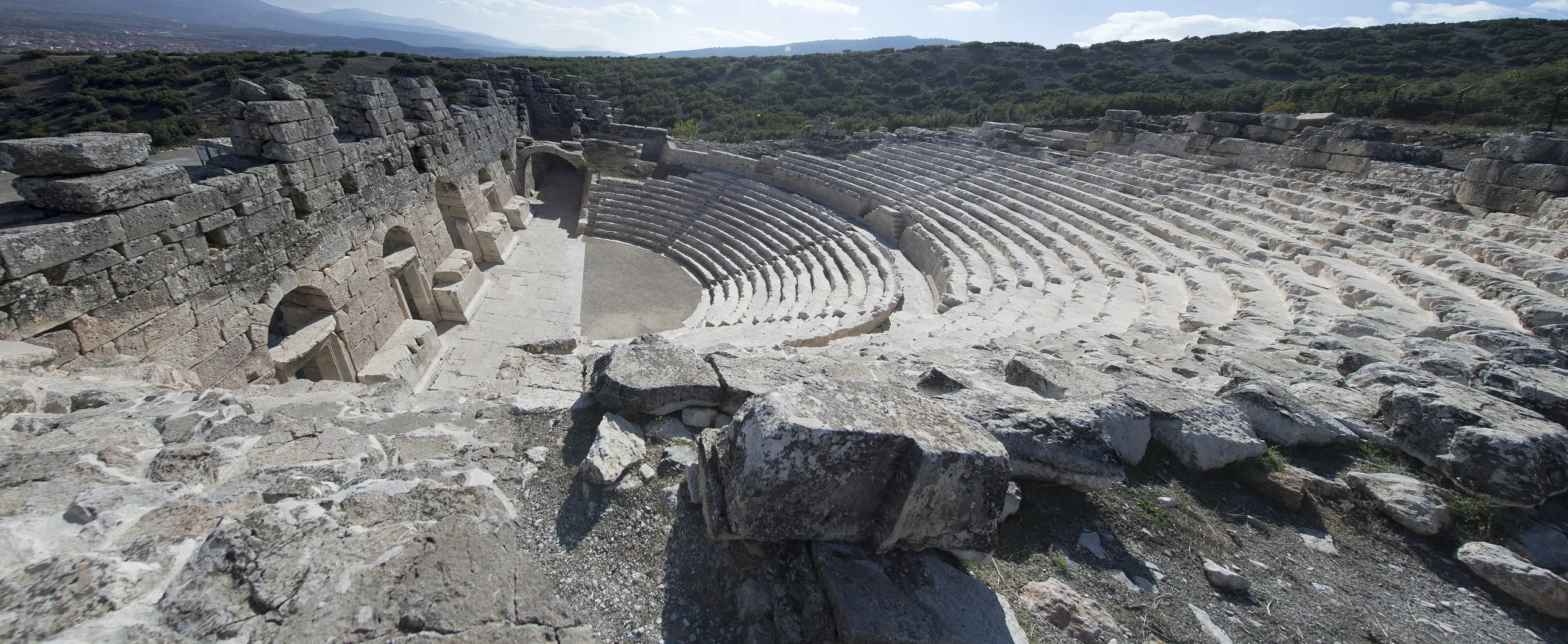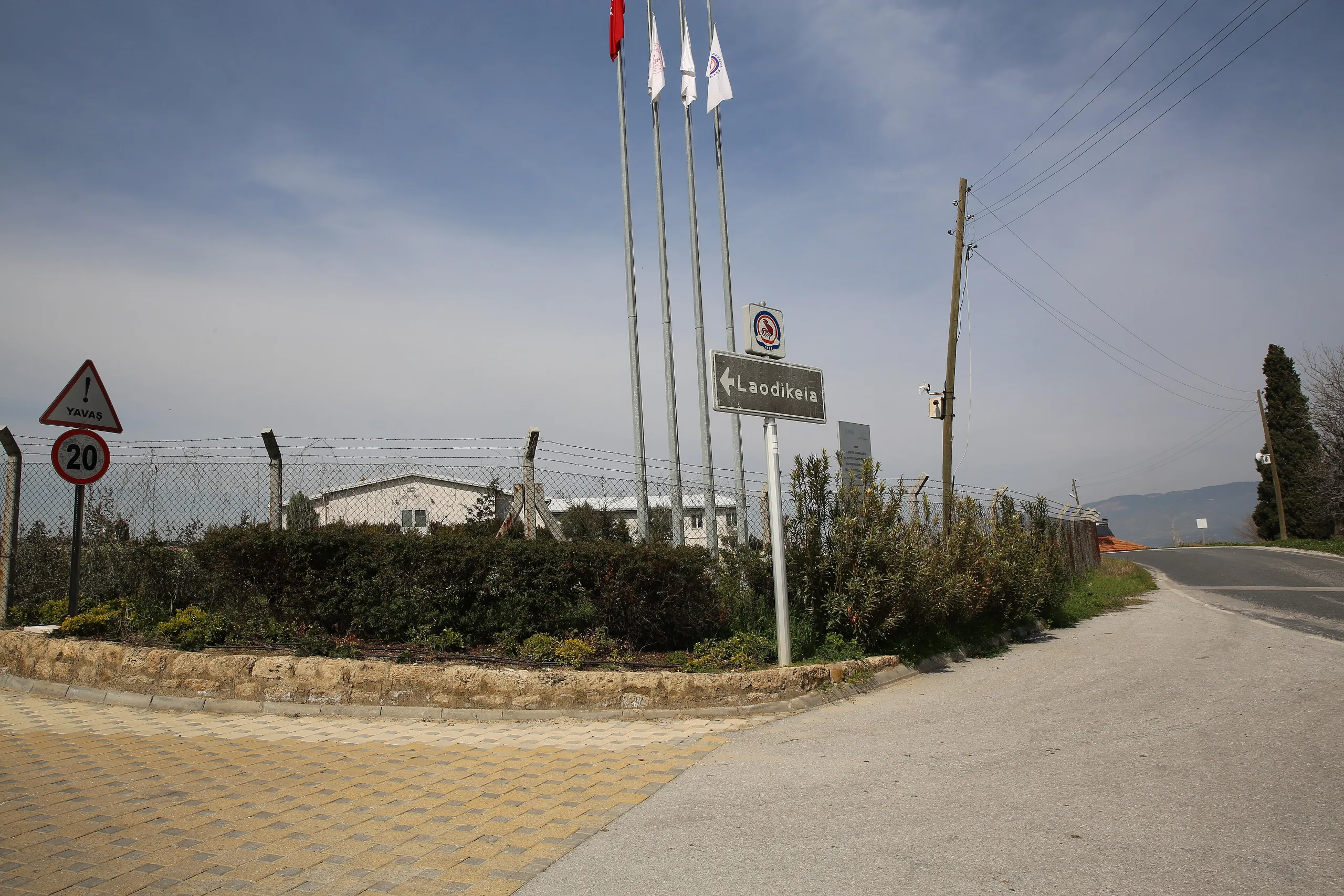
Laodikeia's 285 m marble stadium is the largest in Anatolia; the city also has two theatres, a colonnaded main street and a church counted among the Seven Churches of Asia.
Laodikeia is an ancient city located in Turkey, Denizli. Main periods: Hellenistic Period, Roman Period, Byzantine Period, Chalcolithic Period, Bronze Age.
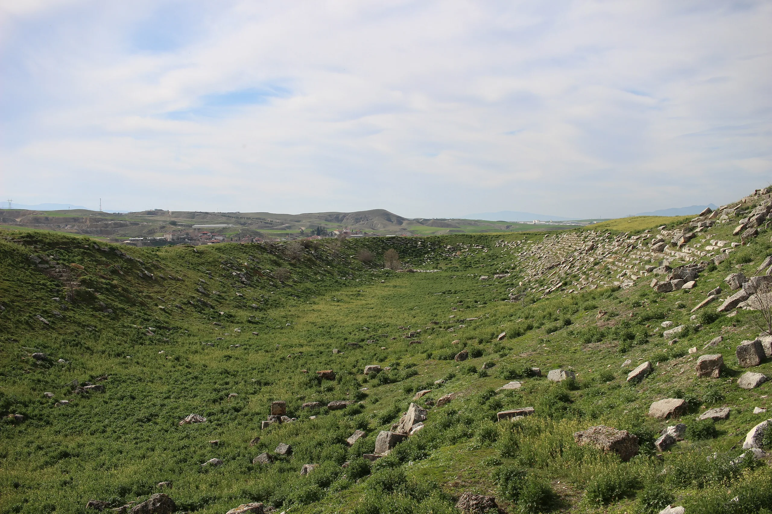
The stadium at Laodikeia is 285 metres long, 70 metres wide and built entirely of marble, which makes it the largest in Anatolia. And it is only one part of an ancient city that spreads around the Goncalı neighbourhood in Pamukkale district, Denizli. The same site holds two theatres, four bath complexes, five agoras and five nymphaea, the monumental fountains of Roman cities.
Ancient writers usually call the place Laodikeia ad Lykum, Laodikeia on the Lykos river, and in Seljuk and Ottoman times it was known as Ladik. The city is one of seven Asian cities named in the New Testament, which gives it a special place in Christian history.
People lived here almost without interruption from about 5500 BCE until the 7th century CE. The Hellenistic city was founded in the middle of the 3rd century BCE, grew rich on wool and textiles in Roman times, and was knocked down by earthquakes again and again, rising each time.
Setting
Three watercourses frame the city: the Asopos stream (Gümüşçay-Goncalı) to the west and south-west, the Kapros (Başlıçay) to the south-east, and the Lykos (Çürüksu) to the north-east. The place is also known today as Eskihisar. Laodikeia became the regional centre because it stood at a junction of ancient roads, because the location fitted Seleucid policy, and because of its military, administrative and economic position. The town follows a grid (Hippodamian) plan across roughly 5 km, and necropoleis, the burial grounds, wrap around all four sides.
History
Surveys in the west and south-west turned up pottery and flint of the Late Chalcolithic (3500 BCE) and Early Bronze Age I (3000 BCE), and the first settlers seem to have gathered around the Asopos, the local water source. Vessels from the West Necropolis are older still: they belong to the Early Chalcolithic (5500 BCE) and are the earliest finds yet recorded in the Lykos Valley. Pliny writes that the Hellenistic town rose over sacred villages known first as Diospolis and then as Rhoas.
The Seleucid king Antiochus II founded the city between 261 and 253 BCE and named it for his wife Laodike. It stepped onto the historical stage in 220 BCE with the revolt of Achaios, who proclaimed himself king here and struck coins in his own name. The city stayed Seleucid until the battle of Magnesia and, after the Peace of Apameia (188 BCE), was attached to the kingdom of Pergamon. Under the will of Attalos III it passed to Rome in 133 BCE, and from 129 BCE it formed part of the province of Asia, ruled by governors sent from Rome.
Under Rome the city grew through the wool trade and its position where routes crossed. The Mithridatic Wars (88-85 BCE) hit it hard. Cicero, governor of Cilicia, spent about ten weeks here at the end of 51 and start of 50 BCE, hearing legal cases, and around then Rome made Laodikeia the seat of the Kibyra conventus, a judicial district. By Tiberius's reign it was reckoned the most splendid and wealthy city in Phrygia.
The earthquake of 60 CE flattened every town in the Lykos Valley. Hierapolis and the rest were rebuilt with imperial help, while Laodikeia repaired itself with its own means. Hadrian visited in 135 and backed building work, and under him the city first received the title of neokoros, an honour for cities that housed a temple of the imperial cult. It won the title a second time under Commodus and lost it after his death in 192. Religious and public building multiplied under Septimius Severus, and Caracalla toured the city in 215.
When Diocletian split up Phrygia in his reforms of 284-305, Laodikeia became the metropolis, the capital, of Phrygia Pacatiana. The legalisation of Christianity (313) gave the city a new standing, and in 325 it was represented at the Council of Nicaea as the administrative unit of Phrygia Pacatiana. A quake in the second half of the 4th century wrecked it again, and the Synod of Laodikeia, a church council, met here between 343 and 381. A decision of 395-396 had a wall built around the town from the blocks of older Roman buildings, leaving part of the Hellenistic and Roman districts outside it.
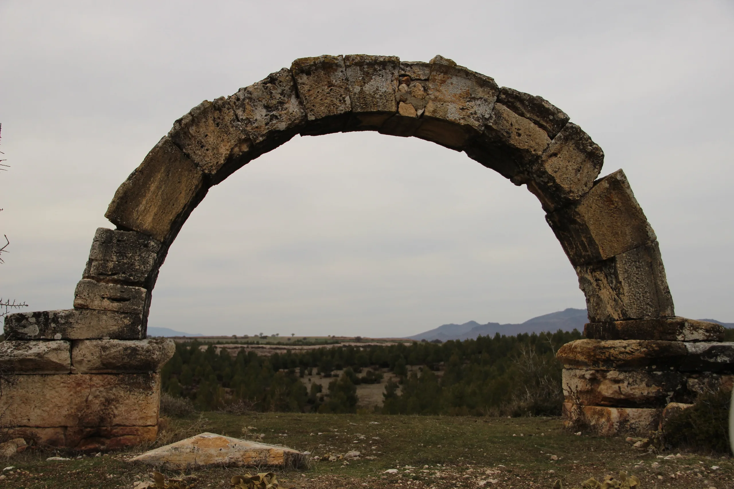
In 494, under Anastasius, a great earthquake destroyed the city completely and it never recovered; another struck in the 6th century. In the first quarter of the 7th century, under Phocas, a destructive quake came on top of Arab raids and damaged water channels, and the population moved south to Denizli-Kaleiçi and Hisarköy, leaving the site empty. The region came wholly under Turkish control in 1206, and the settlement at Kaleiçi took the name Lâdik. In later centuries the ruins served as a quarry for lime, marble and travertine.
People and events
The city takes its name from Laodike, wife of Antiochus II. Achaios, Cicero, the local noble Zenon, Hadrian, Caracalla, the stadium's donor Nicostratus and the proconsul Frontinus all left their mark. Around 40 BCE Zenon resisted Labienus, who arrived with Parthian forces; Rome rewarded him with the Pontos region, and the citizens won the privilege of Roman citizenship. For Christians the city counts twice over, as one of the New Testament's seven Asian cities and as the meeting place of the Synod.
Principal monuments
Syria Street
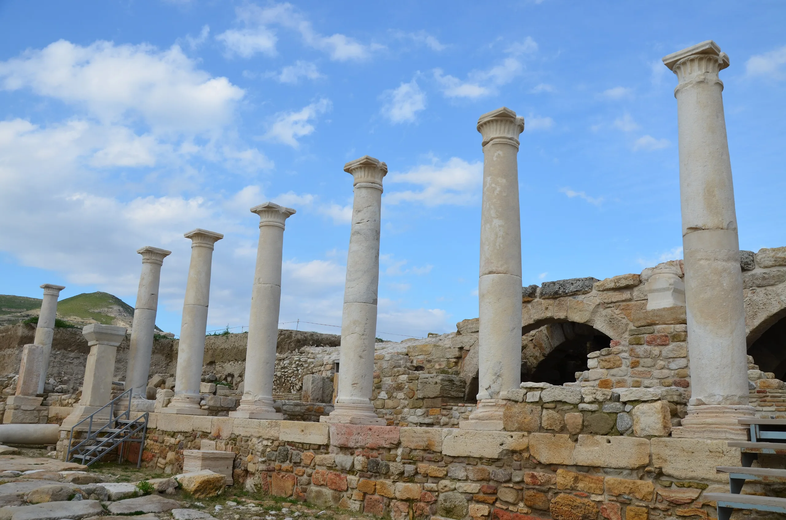
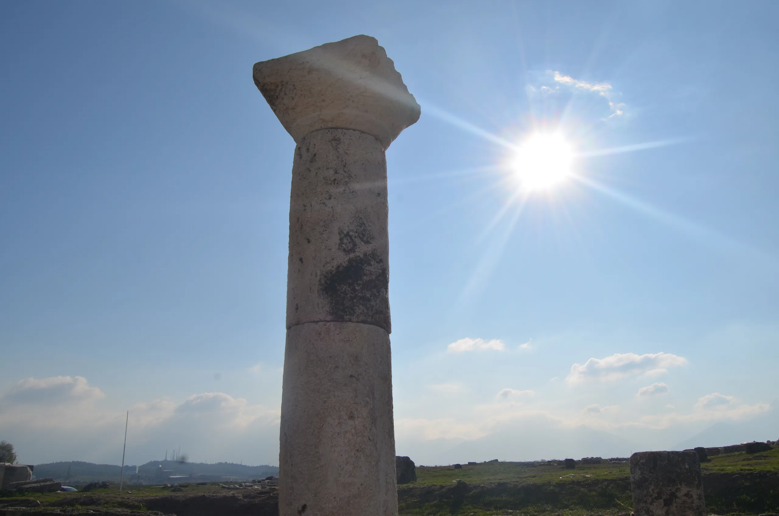
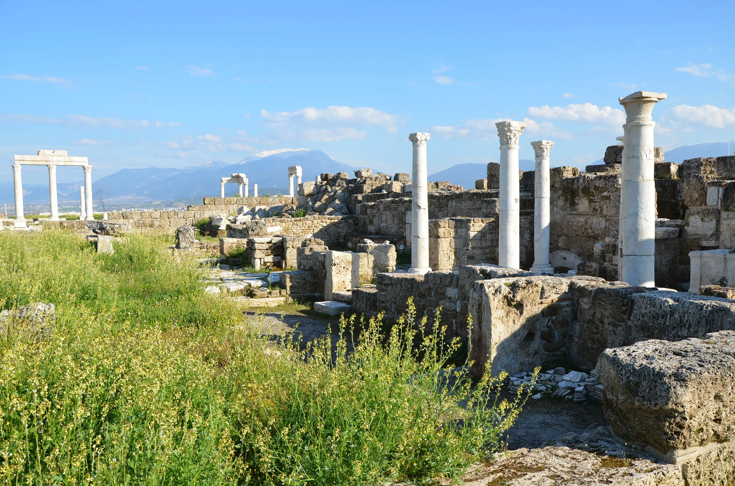
The colonnaded main street runs 900 m from the city centre east to the Syrian Gate. The 400 m between the Caracalla Fountain in the west and the East Byzantine Gate has been excavated and re-erected. In the cleared stretch the roadway is 7.30 m wide. Porticoes, covered colonnaded walkways 4.30 m deep, line both sides, raised by one or two steps, with shop entrances behind them. A main sewer 1.20 m wide and 1.85 m high runs beneath the street.
On the north side stand House A, Temple A, the Septimius Severus Fountain and the propylaea (monumental gateways) of the North Agora; on the south side lies the Central Agora. The street was used until the earthquake of 494 and the abandonment in the early 7th century.
The stadium
South of the centre, the stadium lies on a north-west to south-east axis. It was carved out of the natural ground, is marble throughout, and ends at both extremities in a rounded sphendone. It holds roughly 20,000 to 25,000 people. An inscription at the west entrance records that Nicostratus paid for it and dedicated it to the emperor Titus, which dates it to 79 CE. Work in 2010 showed that the building was used heavily in Byzantine times and that a church was added to its south. The south side was largely destroyed when the Denizli-Aydın railway was built in 1863.
West and North theatres
The West Theatre was cut into the natural slope in the Hellenistic manner and faces so as to catch the afternoon breeze from the west. It dates to the 2nd century BCE, its cavea, the semicircle of seats, is 85 m across, and it seats about 8,000. In the early 5th century CE the stage building was made part of the city wall, and the theatre stayed in use until the early 7th century.
The North Theatre dates from the 2nd century CE. Its cavea measures 112 m across and holds about 12,000, and the seats carry the names of associations and leading families.
North (Sacred) Agora and Temple A
Between the two theatres, north of Syria Street, the North Agora covers 36,316 square metres. Its west portico is 298 m long, the east portico 268 m and the width 128 m. From Augustus to Diocletian it was a temenos, a sacred precinct of temples and altars. After the 4th century it was laid out as a plain agora, and the temples of Athena and Zeus were dismantled, their blocks reused in portico works.
Temple A stands at the end of a courtyard of 58 x 42.33 m ringed by porticoes, north of the street. This Corinthian temple measures 27.75 x 13.60 m and is prostyle, with columns across its front only. It was dedicated to Artemis, Apollo and the imperial cult, built in the 2nd century CE and repaired under Diocletian. The finds show that it served both the gods and the emperor cult.
The Church of Laodikeia
The church lies immediately east of Temple A, on the side street that links Syria Street with the North Theatre. It has eleven apses in all, one facing east and five each facing north and south. The central nave of the naos, the main hall, has an opus sectile floor of cut coloured stone, and the side aisles are paved with mosaic. A cross-shaped pool fills the baptistery in the north-east corner. The church went up under Constantine the Great (306-337 CE), after Christianity was legalised, and stayed in use until the 7th century.
Fountains, House A and the agora-bath group
The Septimius Severus Fountain (A Nymphaeum) has two storeys, measures 41.60 x 14.30 m, and was used until the quake of 494. The Caracalla Fountain stands at the corner where Syria Street meets Stadium Street, built to honour the emperor's visit in 215; scenes on its marble parapet include Zeus carrying off Ganymede and Theseus killing the Minotaur.
Excavation of House A began in 2006 and finished in 2010. On a 2,000 square metre block it exposed 47 rooms, 5 shops and 2 corridors around three peristyle courts, colonnaded inner courtyards. To the south, the Central Agora measures 112 x 60 m, and the Central Bath behind it, 89.60 x 57.60 m, dates to the 2nd century CE. At the east entrance are the Syrian Gate, dedicated to Domitian in 84-85 CE by the proconsul Frontinus, and the East Byzantine Gate with its fountain, from the early 5th century.
Excavation history
Chandler saw the site in 1775, Weber in the 1830s and 1840s, and then Fellows, Hamilton, Texier and other travellers; Weber drew the first plan of the city. For Laval University, Des Gagniers dug the Caracalla Fountain in 1961-1963, and in 1992 Haşim Yıldız made a short rescue excavation on Syria Street. An Italian team from Ca' Foscari in Venice, led by G. Traversari, surveyed the area in 1995-2002 and produced a new topographic map.
Systematic excavation began in 2002 under the Denizli Museum, with the archaeology department of Pamukkale University taking part. Since 2003 large-scale work has run under Prof. Celal Şimşek. After a protocol signed with Denizli Municipality on 18 August 2008, the municipality has covered most of the costs. Recent seasons have concentrated on the West Theatre, the North Agora, the bouleuterion (council house) and the South Agora.
Myth and ancient writers
The city's founding chief god was Zeus Laodikeus, and cults of Zeus Aseis and Isis are also attested. Strabo writes that Laodikeia bred sheep with very soft, raven-black wool, regarded as better than the wool of Miletos, and Vitruvius put the softness down to the local water. Tunics called Trimita were so famous that the town was once known as Trimitaria, and Diocletian's Edict on Prices of 301 lists fabrics woven here.
Visiting
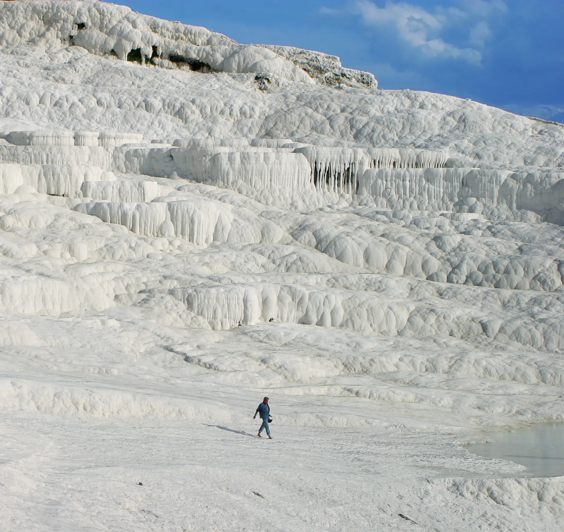
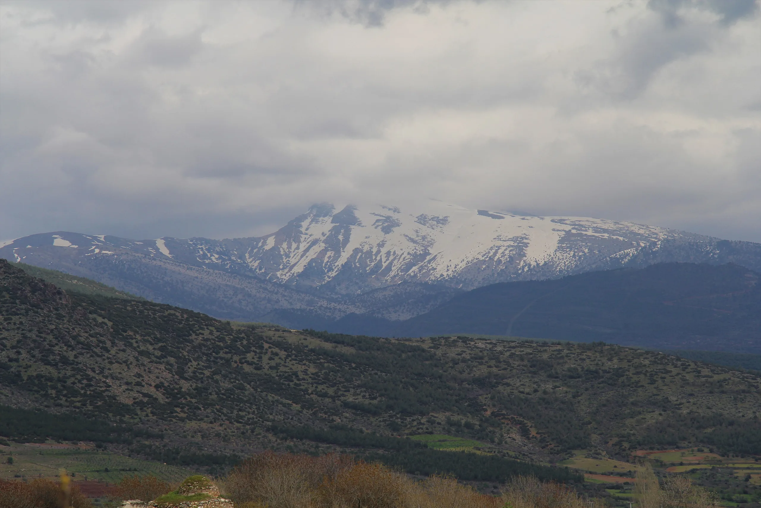
The site is in the Goncalı neighbourhood. The Müzekart is valid for Turkish citizens only; for current hours and fees check the official museum page. Honaz Mountain National Park is a short trip away.
Gallery
Frequently asked questions
Where is Laodikeia?
Who founded Laodikeia?
Why is Laodikeia counted among the Seven Churches?
What are the main monuments?
Why was the city abandoned?
What made Laodikeia rich?
Sources (19)
- Laodikeia Örenyeri / Laodikeia (TR ve EN sayfalar) — T.C. Kültür ve Turizm Bakanlığı, Müzeler ve Ören Yerleri
- Laodikeia Kazısı: Tarihçe — Laodikeia Kazı Başkanlığı (Pamukkale Üniversitesi)
- Laodikeia Kazısı: Araştırmalar — Laodikeia Kazı Başkanlığı (Pamukkale Üniversitesi)
- Laodikeia Kazısı: Yapılar — Laodikeia Kazı Başkanlığı (Pamukkale Üniversitesi)
- Laodikeia Kazısı: Stadyum — Laodikeia Kazı Başkanlığı (Pamukkale Üniversitesi)
- Laodikeia Kazısı: Suriye Caddesi — Laodikeia Kazı Başkanlığı (Pamukkale Üniversitesi)
- Laodikeia Kazısı: Batı Tiyatrosu — Laodikeia Kazı Başkanlığı (Pamukkale Üniversitesi)
- Laodikeia Kazısı: Laodikeia Kilisesi — Laodikeia Kazı Başkanlığı (Pamukkale Üniversitesi)
- Laodikeia Kazısı: Tapınak A — Laodikeia Kazı Başkanlığı (Pamukkale Üniversitesi)
- Laodicea ad Lycum/Diospolis/Roas (Pleiades place 638955) — Pleiades
Photo credits
- Photo: Biologg, CC BY-SA 4.0 — Wikimedia Commons (resized)
- Photo: Arkiyolok, CC BY-SA 4.0 — Wikimedia Commons (resized)
- Photo: Biologg, CC BY-SA 4.0 — Wikimedia Commons (resized)
- Photo: Blcksprt, CC BY-SA 4.0 — Wikimedia Commons (resized)
- Photo: Carole Raddato from FRANKFURT, Germany, CC BY-SA 2.0 — Wikimedia Commons (resized)
- Photo: Dosseman, CC BY-SA 4.0 — Wikimedia Commons (resized)
- Photo: Dosseman, CC BY-SA 4.0 — Wikimedia Commons (resized)
- Photo: Dosseman, CC BY-SA 4.0 — Wikimedia Commons (resized)
- Photo: Dosseman, CC BY-SA 4.0 — Wikimedia Commons (resized)