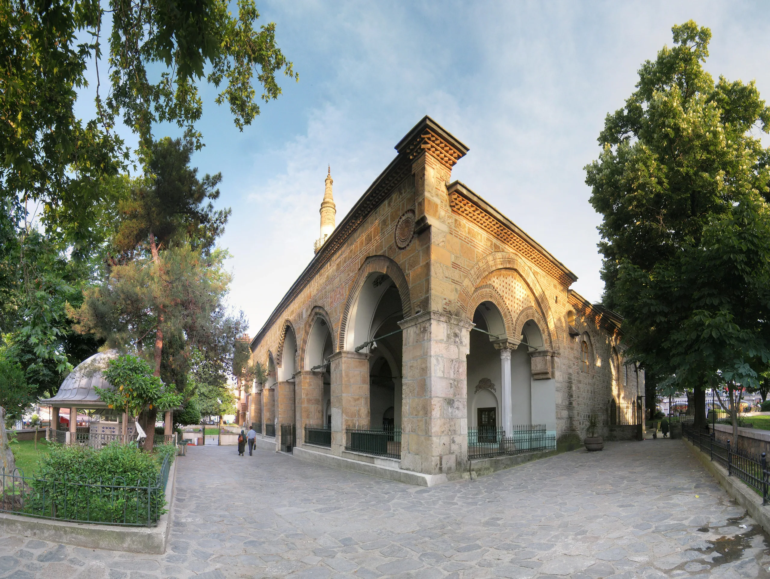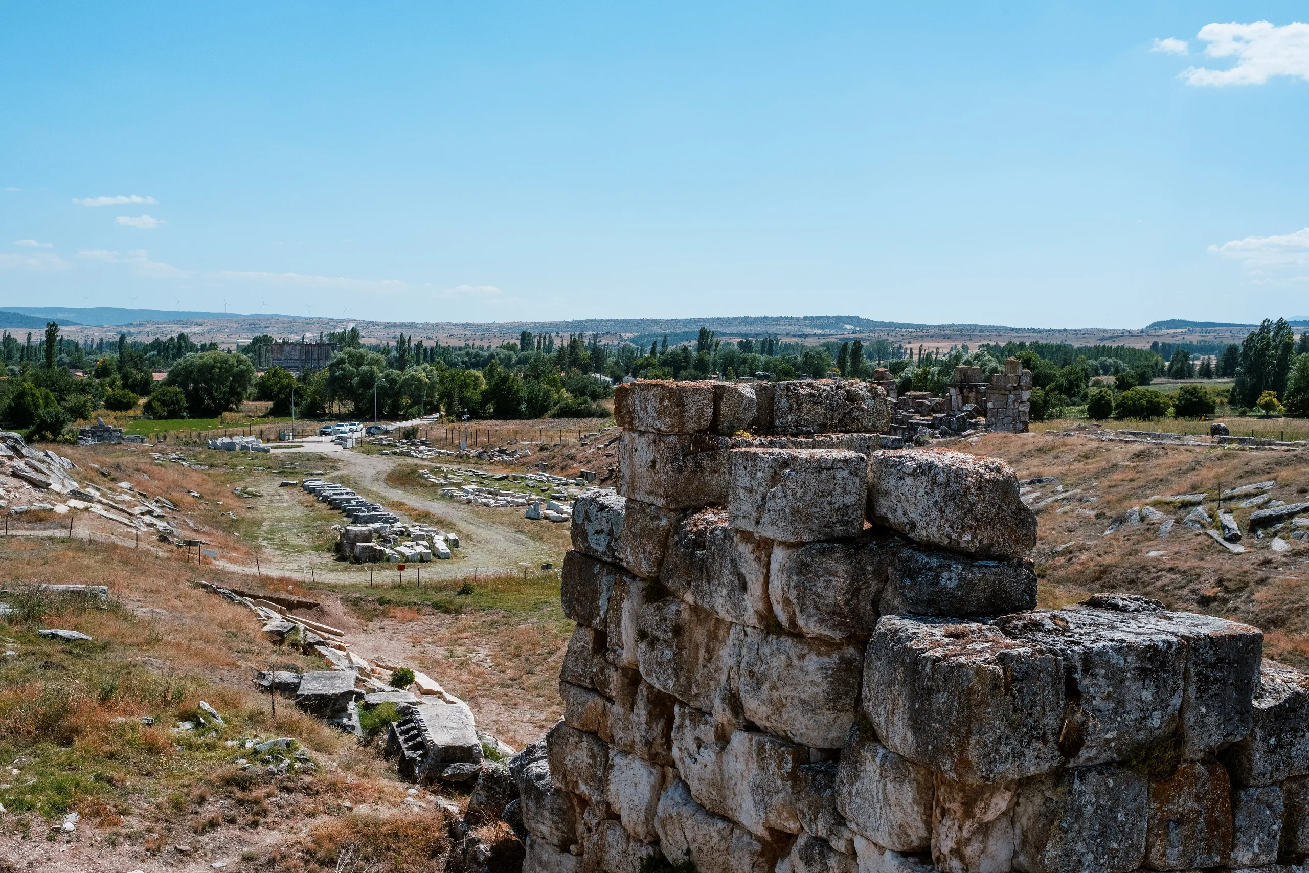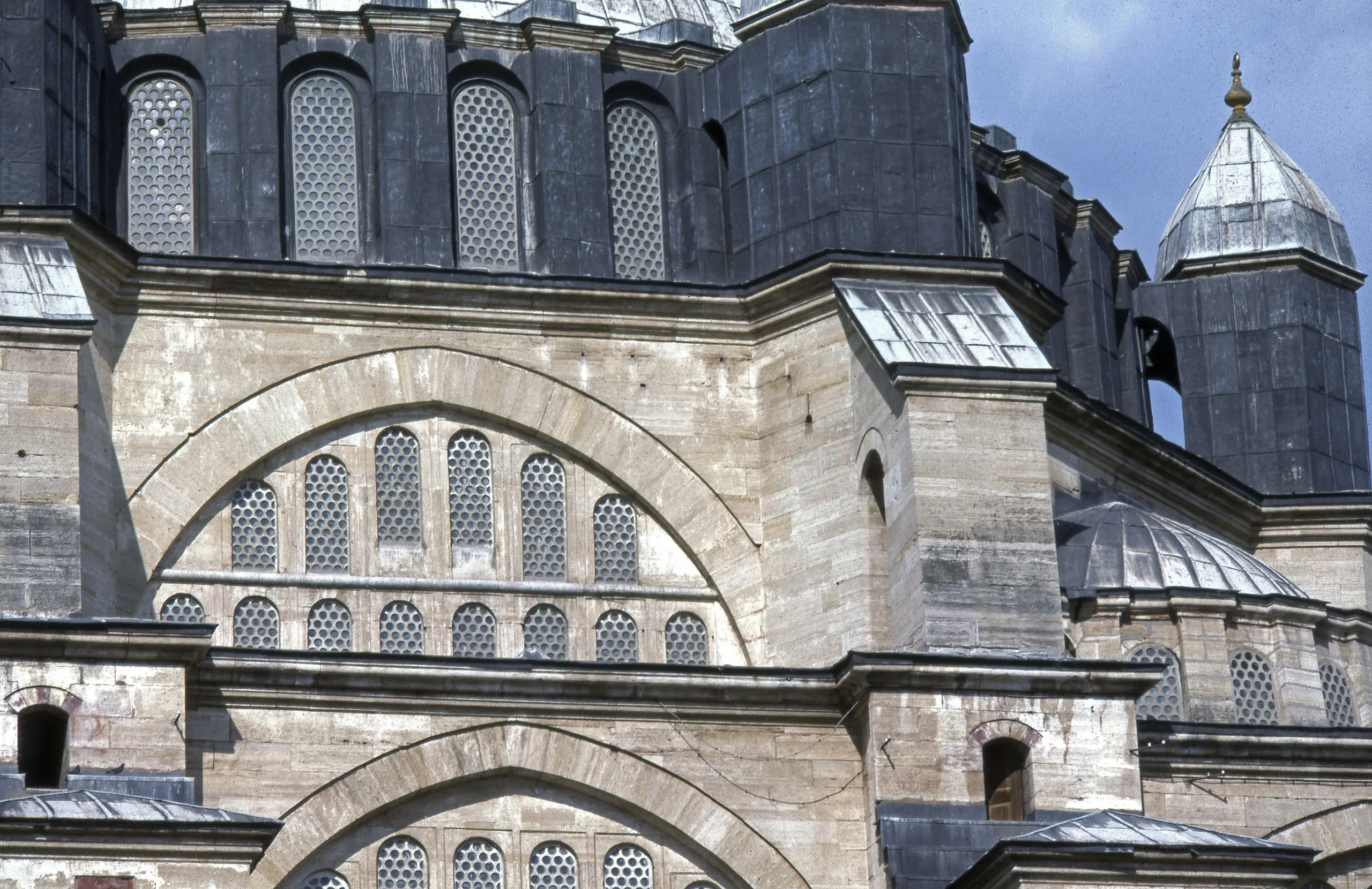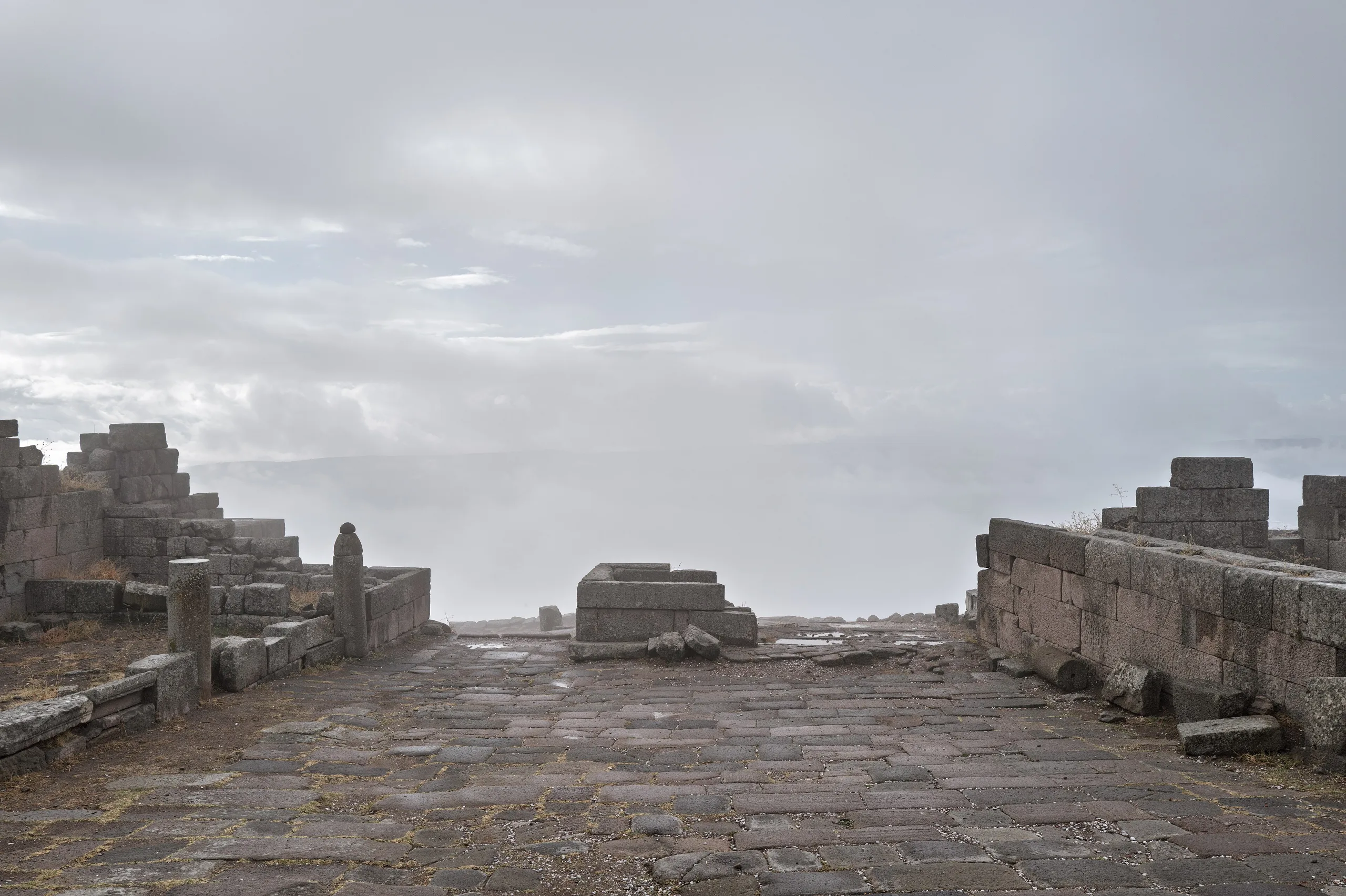
Four districts of old Istanbul (Sultanahmet, Süleymaniye, Zeyrek and the land walls) make up this World Heritage site, with Hagia Sophia and the Süleymaniye.
Historic Areas of Istanbul is a place (Historic town) in Turkey, Istanbul. Main periods: Roman Period, Byzantine Period, Ottoman Period. It was inscribed on the UNESCO World Heritage List in 1985.
The Historic Areas of Istanbul are four separate districts of a city placed where the Balkans meet Anatolia and the Black Sea meets the Mediterranean, protected together as one World Heritage property. UNESCO says Istanbul has featured in major political, religious and artistic events for over two thousand years, and it names the Hippodrome of Constantine, the sixth-century Hagia Sophia and the sixteenth-century Süleymaniye Mosque among the masterpieces. The property was inscribed in 1985 and, after a minor boundary change in 2017, extends over 765.5 hectares.
Location
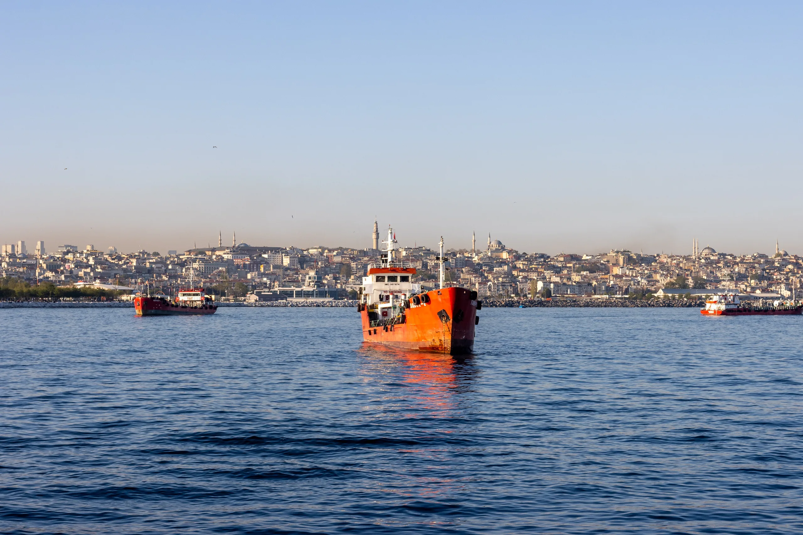
The city grew on a peninsula bordered by the Golden Horn (a natural harbour) to the north, with the Bosphorus to its east and the Marmara coast to its south. The Historic Peninsula, home of ancient Byzantion and Constantinople, was enclosed by walls first raised under Theodosius in the early fifth century. The World Heritage area covers four chosen zones rather than the whole peninsula. According to the State Party's 2024 report, the management plan boundary for the Historic Peninsula measures 2,168 hectares, made up of 1,615 hectares for the peninsula, a buffer zone of 120.76 hectares and 553 hectares beyond the walls on the west. About 350,000 people live there at night, and roughly 3,500,000 are present by day.
History
UNESCO states that Istanbul was the capital in turn of the Eastern Roman and the Ottoman empires; the 1985 ICOMOS evaluation names the Byzantine empire as well. It adds that the city has been tied to political, religious and artistic developments in Europe and Asia for nearly twenty centuries. ICOMOS lines up the monuments by period. The Hippodrome (324), the Aqueduct of Valens (378) and the walls begun in 413 on the order of Theodosius II belong to the Roman capital. Hagia Sophia and St Irene, built under Justinian (527-565), and the Pantocrator Monastery, founded under John II Comnenus (1118-1143) by Empress Irene, stand for the Byzantine capital. The Ottoman capital appears through Topkapı Palace, the Blue Mosque, and the Şehzade and Süleymaniye mosques, the last two by Sinan under Süleyman the Magnificent (1520-1566).
People and events
ICOMOS dates Hagia Sophia to 532-537 and credits the architects Anthemios (from Tralles) and Isidoros (from Miletus); it adds that that the Süleymaniye complex is a work of Sinan; UNESCO gives 1550-1557 for its design. The present line of the walls was altered in the seventh and twelfth centuries to take in the Blachernae quarter and palace. When ICOMOS wrote in 1985, the city held nearly 2,500,000 people, and industrial pollution and fast urban growth threatened the old fabric. UNESCO's Director-General had launched an international appeal for Istanbul's safeguard on 13 May 1983.
Notable buildings: the four components
Archaeological Park (Sultanahmet)
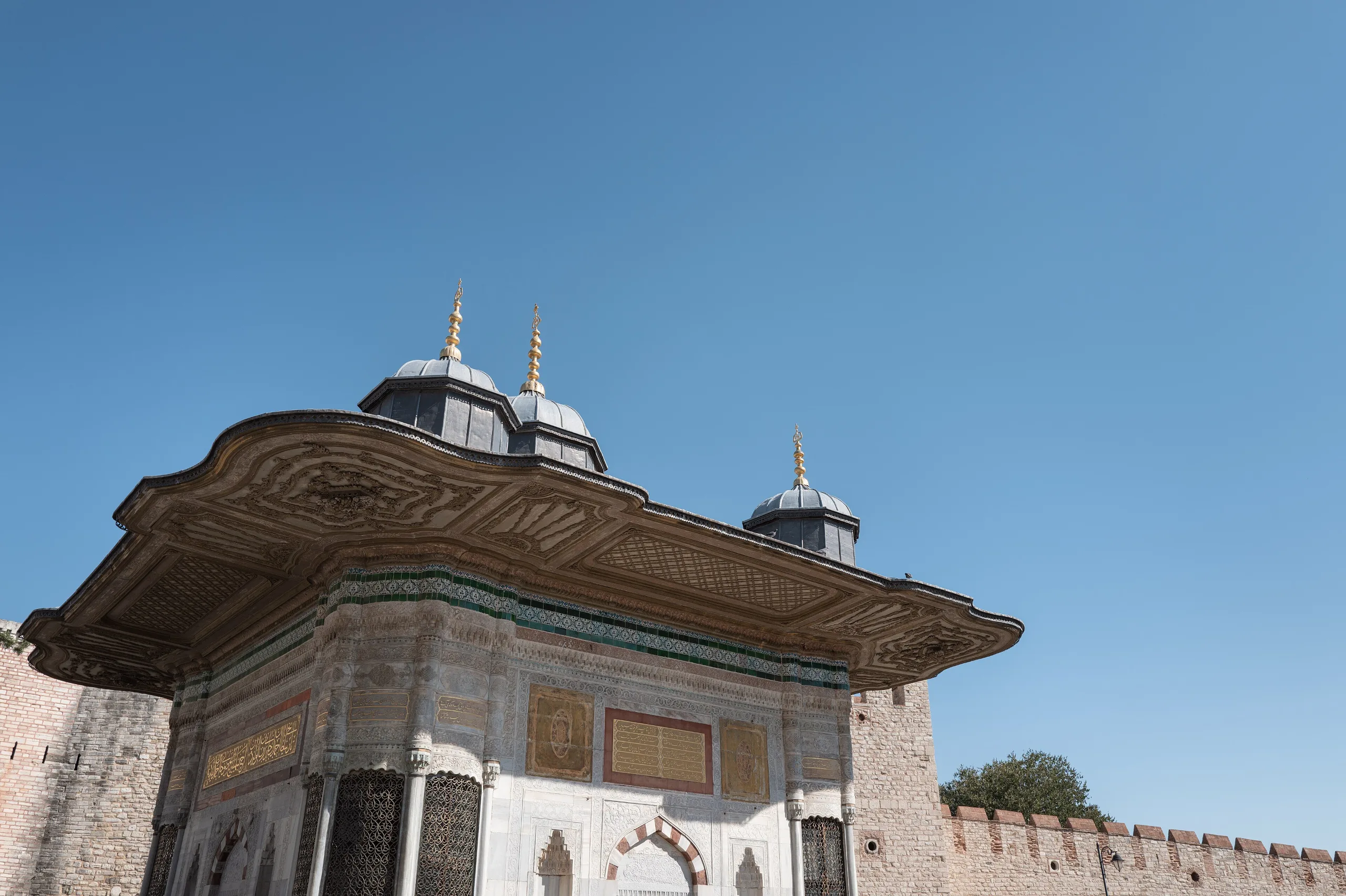
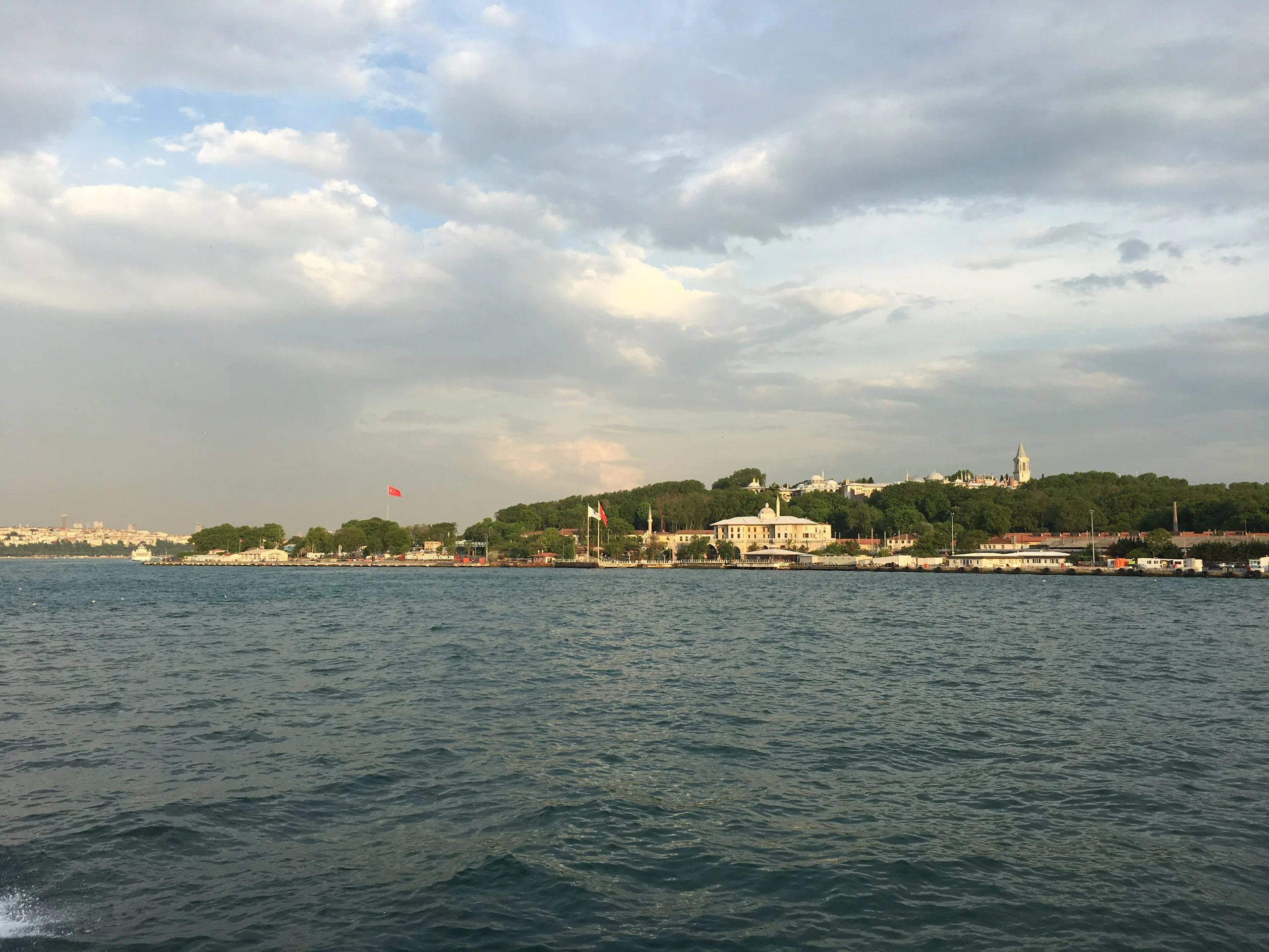
At the tip of the peninsula, this zone was protected in 1953 and 1956. It holds the Hippodrome of Constantine, Hagia Sophia, St Irene, Topkapı Palace and the Blue Mosque, and UNESCO also lists the Küçük Ayasofya Mosque (the former church of Saints Sergius and Bacchus) among the buildings of the property. In ICOMOS's 2017 review, the boundaries were stretched to take in the Marmara sea walls, the historic grounds of Topkapı and the remains of the Boukoleon Palace; the proposed area was 54 hectares with 920 listed buildings.
Süleymaniye
The Süleymaniye Mosque and Sinan's complex, with the bazaars and vernacular settlement around it, form this component. UNESCO notes that the complex includes a caravanserai, madrasa, medical school, library, bath, hospice and imperial tombs. ICOMOS's 1985 text places the Şehzade Mosque and the Valens Aqueduct in the same zone and records 525 listed and protected wooden houses. The 2017 modification added the Süleymaniye Hamam and several city blocks; the proposed area was 140 hectares with 992 listed buildings.
Zeyrek
The Zeyrek component covers the neighbourhood around the Zeyrek Mosque, once the church of the Pantocrator. The monastery was founded under John II Comnenus by Empress Irene. UNESCO notes that the mosque has been damaged by several earthquakes, and that the timber houses of the Süleymaniye and Zeyrek districts preserve rare testimony to how late Ottoman towns were laid out. The area was protected in 1979.
Land walls
This component covers both sides of the Theodosian walls and the remains of the Blachernae Palace. The land wall runs for 6,650 metres, and its second line of defence, made in 447, is cited as a reference point in military architecture. The 1985 evaluation places the Chora church, now the Kariye Mosque, in this zone and dates its mosaics and paintings to the fourteenth and fifteenth centuries. The 2017 change added the Marble Tower, fragments of the Marmara sea walls, one city block to the east, and open areas including cemeteries to the west; the proposed area was 562 hectares with 701 listed buildings.
World Heritage and protection
The property entered the List in 1985 under four criteria. UNESCO stresses Hagia Sophia and the Süleymaniye complex (criterion i), the influence of the walls and Hagia Sophia (ii), the testimony to Byzantine and Ottoman civilisations (iii), and Topkapı Palace and the Süleymaniye complex as supreme ensembles (iv). A site management directorate was set up within Istanbul Metropolitan Municipality in 2006. The first conservation plans for Zeyrek, Süleymaniye and the land walls were approved in 1979 and 1981.
The State Party's 2024 report counts 36,053 registered heritage assets in Istanbul, of which 3,958 lie inside the World Heritage boundaries. Projects were completed for 258 derelict examples of civil architecture, and simple repairs were finished on 113 buildings between 2020 and 2024. The report answers Committee decision 46 COM 7B.16 and deals with the condition of Hagia Sophia and Chora, visitor management and a strategy for the wooden houses.
Visiting
Because the property consists of four components and many separate monuments across the city, there is no single entrance or timetable. Each monument is run by its own authority, so check that building's official announcements for current arrangements.
Gallery
Frequently asked questions
What are the Historic Areas of Istanbul?
When was it inscribed?
Which monuments does it include?
How long are the land walls?
Why do the wooden houses matter?
Is the site under threat?
How do I visit?
Who manages the property?
Sources (14)
- Historic Areas of Istanbul (ref 356) – UNESCO World Heritage listing page — UNESCO World Heritage Centre
- ICOMOS evaluation of the original nomination, Historic Areas of Istanbul (July 1985) — ICOMOS / UNESCO World Heritage Centre
- ICOMOS evaluation of the minor boundary modification, Historic Areas of Istanbul No 356 Bis (10 March 2017) — ICOMOS / UNESCO World Heritage Centre
- Historic Areas of Istanbul World Heritage Area Report: summary of the State Party's state of conservation report (2024) — T.C. Kültür ve Turizm Bakanlığı (State Party), UNESCO World Heritage Centre
- İstanbul'un Tarihi Alanları (Wikidata Q5773394) — Wikidata
Photo credits
- Photo: Giorgio Galeotti, CC BY-SA 4.0 — Wikimedia Commons (resized)
- Photo: Thomas Woodtli from Zürich, Switzerland, CC BY-SA 2.0 — Wikimedia Commons (resized)
- Photo: Ray Swi-hymn from Sijhih-Taipei, Taiwan, CC BY-SA 2.0 — Wikimedia Commons (resized)
- Photo: Ray Swi-hymn from Sijhih-Taipei, Taiwan, CC BY-SA 2.0 — Wikimedia Commons (resized)
- Photo: Tcyagizefem, CC BY-SA 4.0 — Wikimedia Commons (resized)
- Photo: R Prazeres, CC BY-SA 4.0 — Wikimedia Commons (resized)
- Photo: R Prazeres, CC BY-SA 4.0 — Wikimedia Commons (resized)
- Photo: Whizlorn, CC0 — Wikimedia Commons (resized)
- Photo: Photograph by Mike Peel ( www.mikepeel.net )., CC BY-SA 4.0 — Wikimedia Commons (resized)