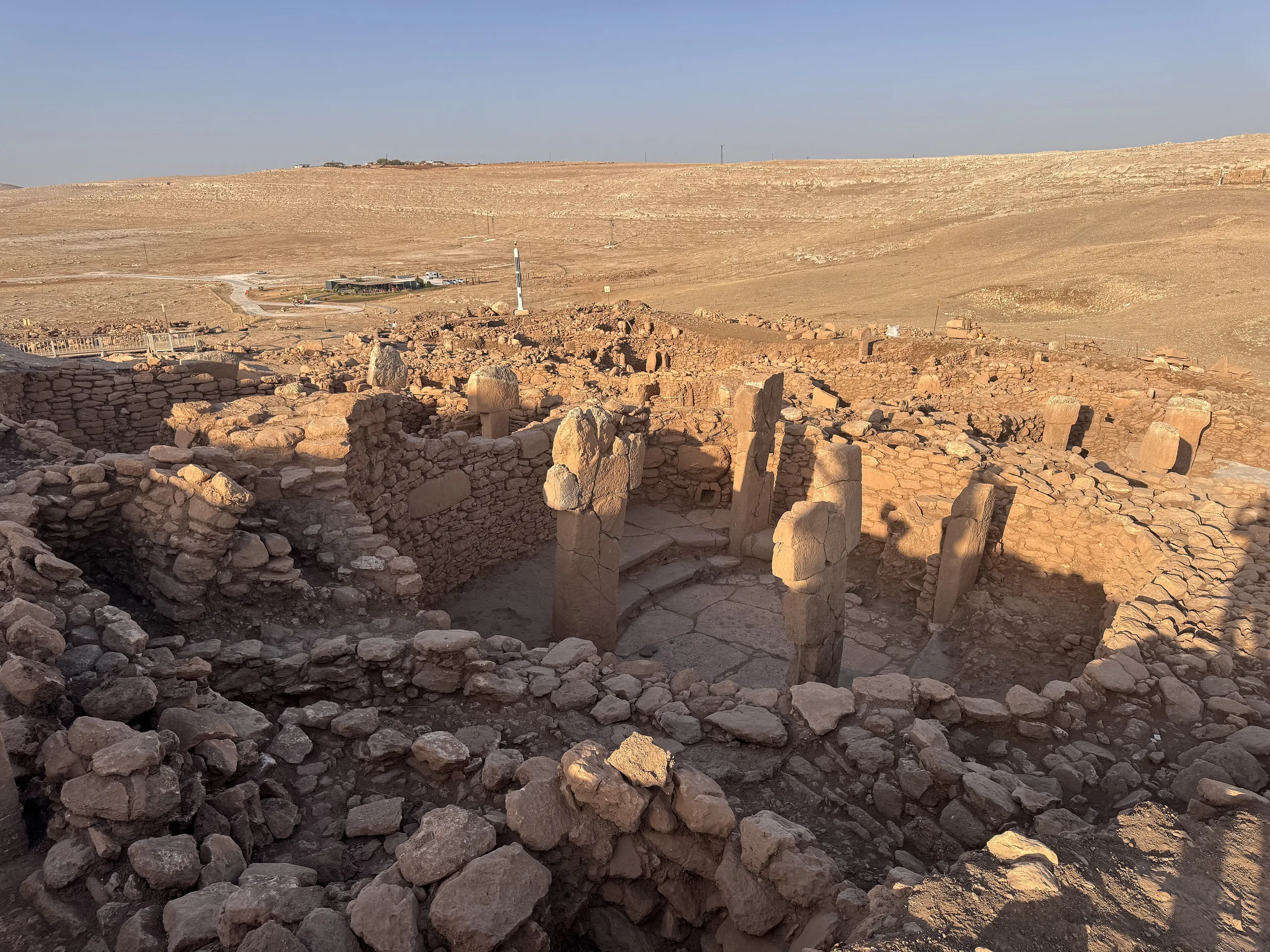
Giant T-shaped pillars raised by hunter-gatherers some 12,000 years ago near Şanlıurfa: monumental architecture that predates farming. A World Heritage Site since 2018.
Göbekli Tepe is a place (Mound settlement) in Turkey, Sanliurfa. Main periods: Neolithic Period. It was inscribed on the UNESCO World Heritage List in 2018.
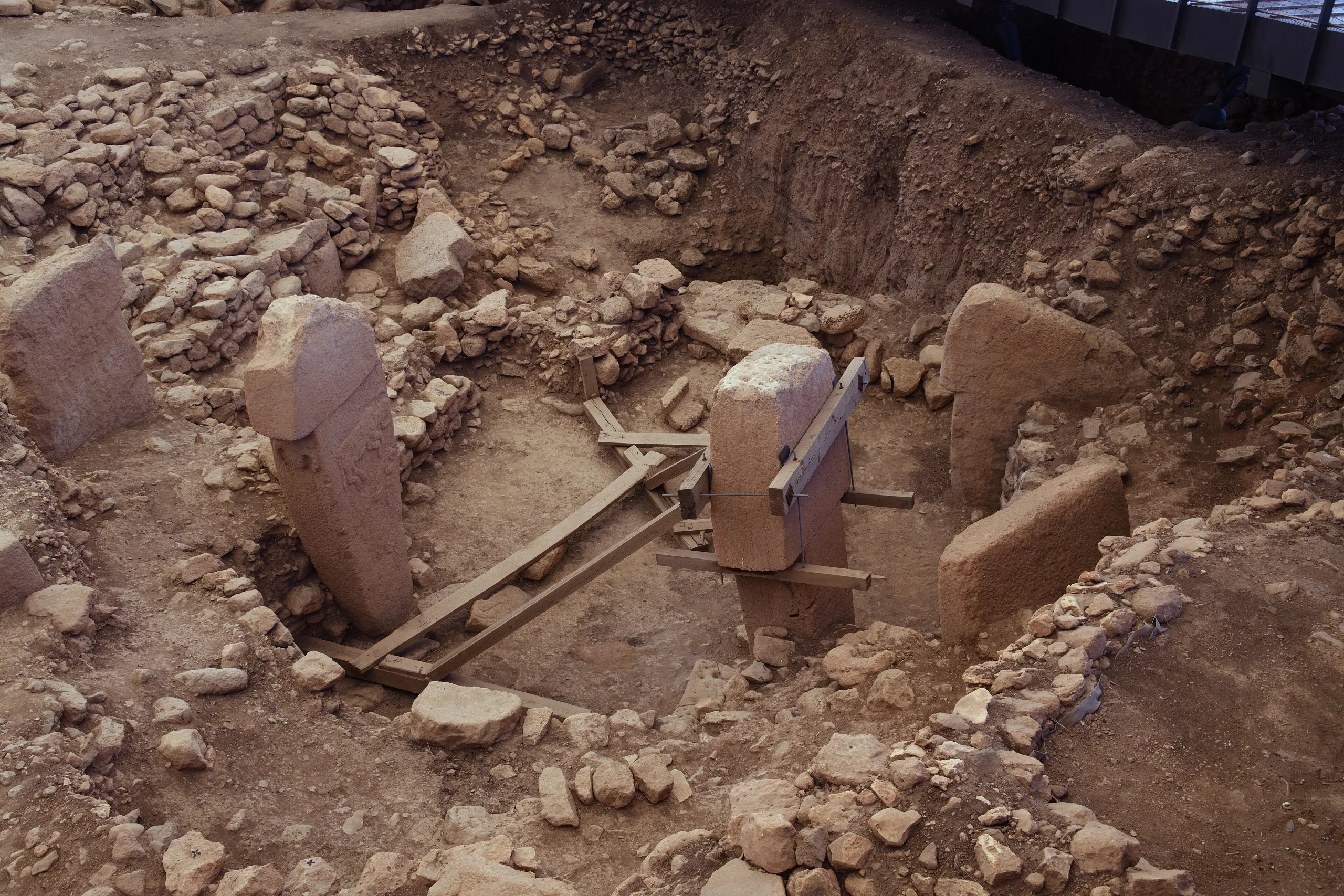
One limestone pillar stands five to six metres tall, weighs many tonnes and carries a carved belt, a loincloth, arms and hands; the stone reads as a person standing upright. Göbekli Tepe is where about twenty such pillars were set in rings. It lies roughly 15 km north-east of Şanlıurfa on a rise above the Harran Plain, belongs to the Pre-Pottery Neolithic, the Stone Age before pottery, and has been on the UNESCO World Heritage List since 2018.
The people who built these enclosures were hunters and gatherers, not farmers. That is why the site is treated as the leading proof that organised labour and a shared belief system could appear before settled life, or alongside it.
Setting
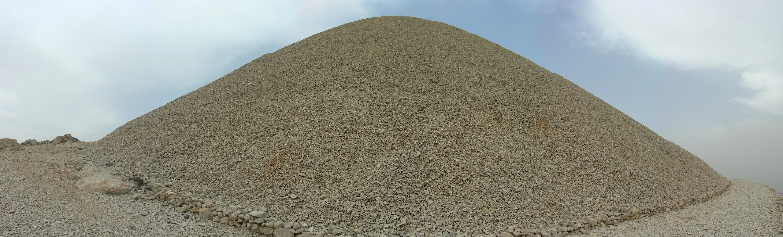
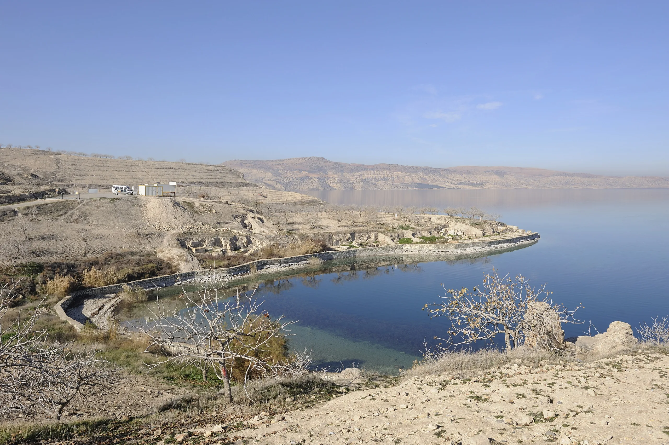
Most Neolithic villages sit beside water, in a valley or on a plain. Göbekli Tepe crowns a hill that closes the Harran Plain to the north and commands the view. The 126-hectare protected property lies in the Germuş Mountains, about 2.5 km east of Örencik village, and has two parts: a natural limestone plateau and the artificial mound rising from it. The mound measures about 300 m across and 15 m high; a tell like this is a hill built up from layers of occupation and fill laid down over time.
Rediscovery
A joint survey by the Universities of Chicago and Istanbul first logged the hill as an archaeological site in 1963. Scattered limestone blocks on the surface made the surveyors think of a graveyard, and two later graves, probably Islamic, do cut into the top. For some thirty years nobody paid it much attention.
The turning point came in 1994, when the German archaeologist Klaus Schmidt toured Neolithic sites in the south-east. The tale should not belong to him alone, though. Families in Örencik, two kilometres west of the mound, had already reported pieces turned up by ploughing and wall-building to Şanlıurfa Museum, and it was a local farmer who walked Schmidt to the hill.
Layers and dating
Excavators distinguish four layers. The topmost, Layer I, is surface soil produced by erosion and long centuries of ploughing; stone was also quarried on the south-eastern plateau in Roman times. Layer III below is the oldest and most spectacular phase. It belongs to the Pre-Pottery Neolithic A, or PPNA, and falls between about 9600 and 8700 BC. The younger Layer II is Early PPNB, roughly 8700-8200 BC. After that the place was abandoned and never put to similar use again. In round figures, Göbekli Tepe is 11,500 to 12,000 years old.
Buildings and pillars
Rings and T-shaped stones
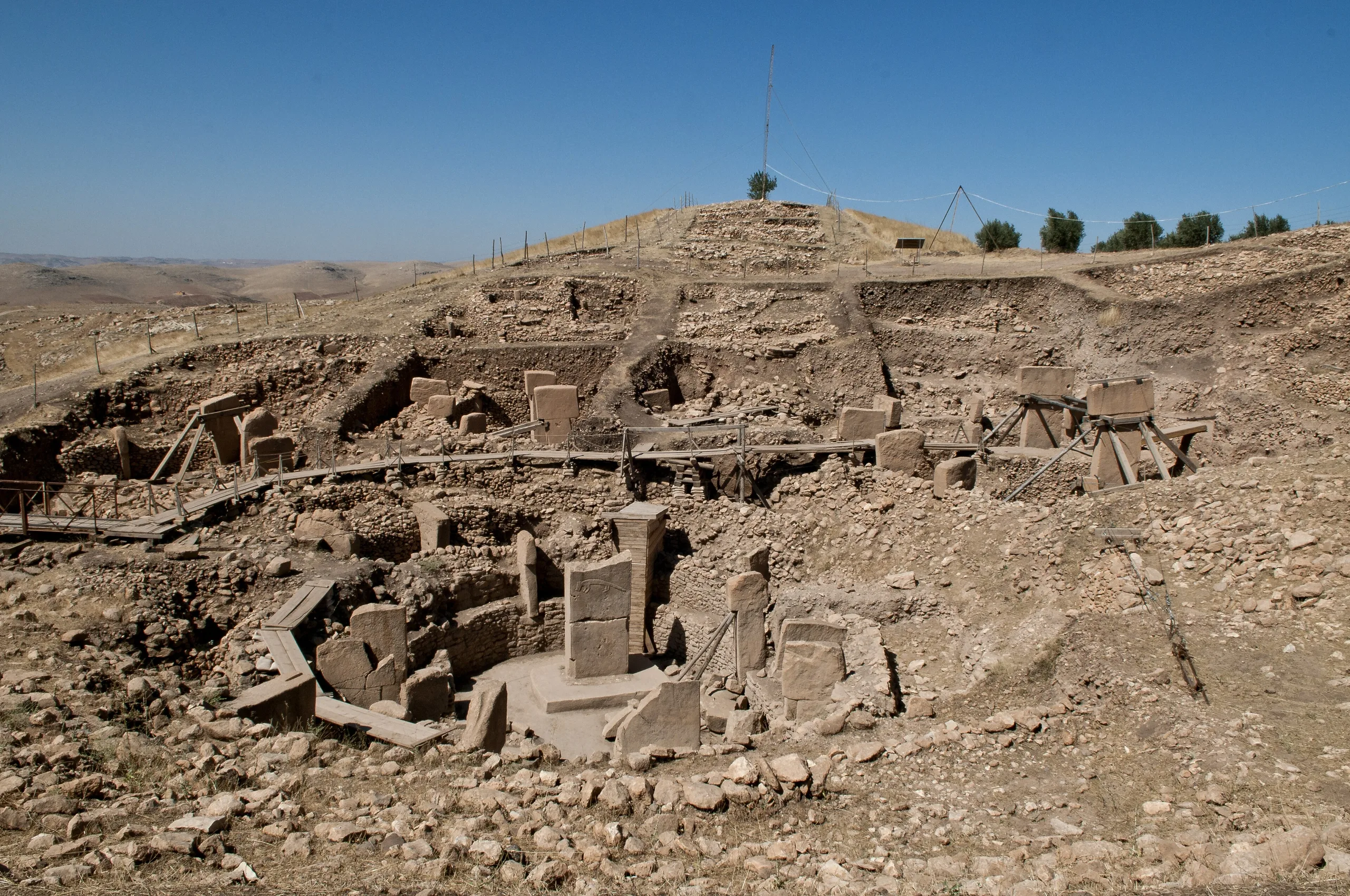
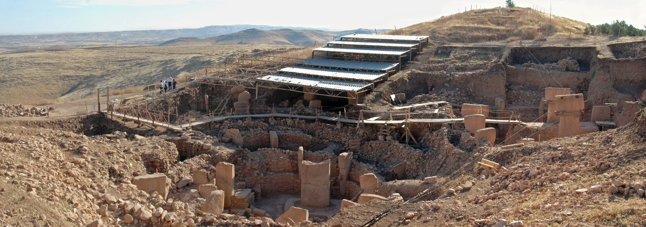
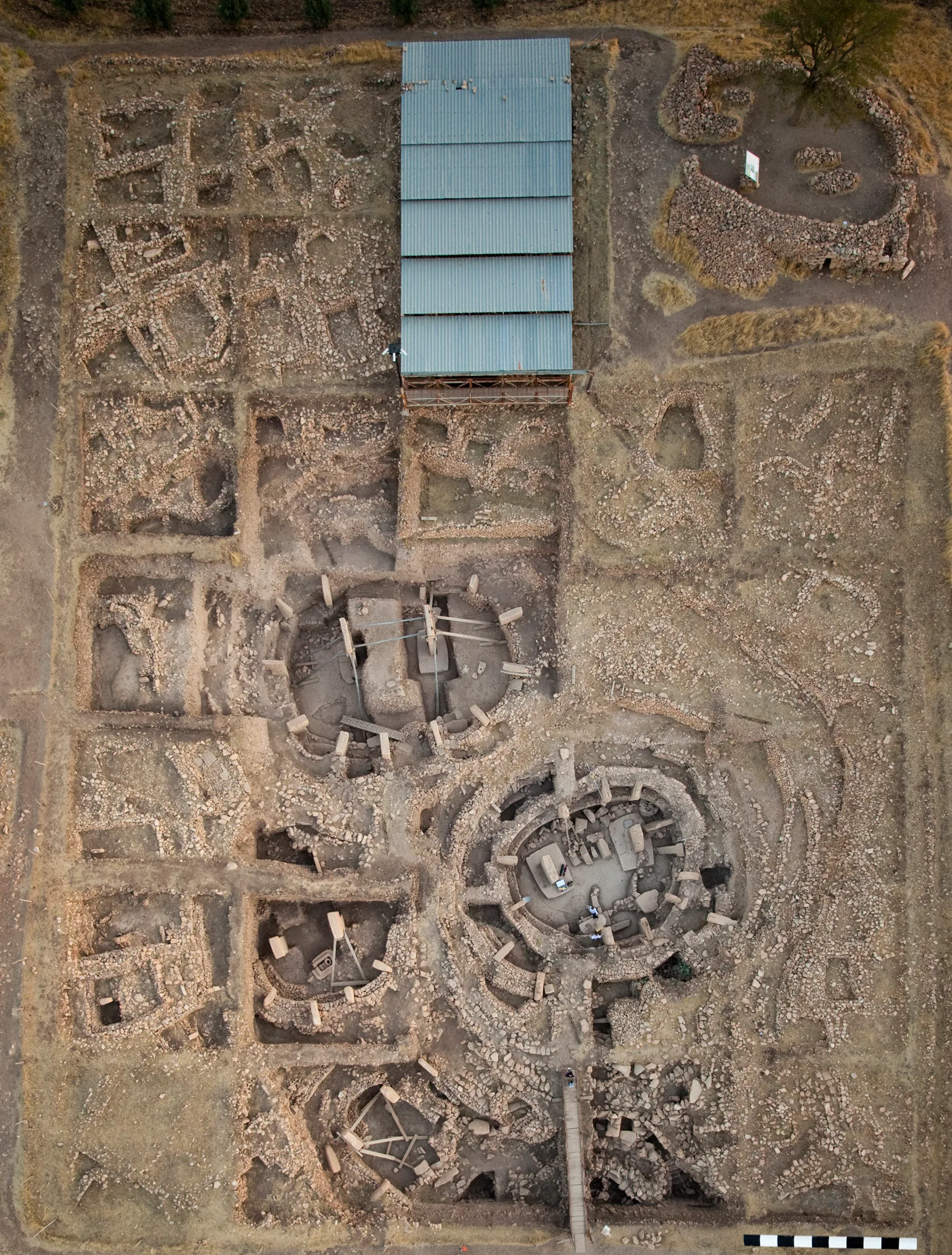
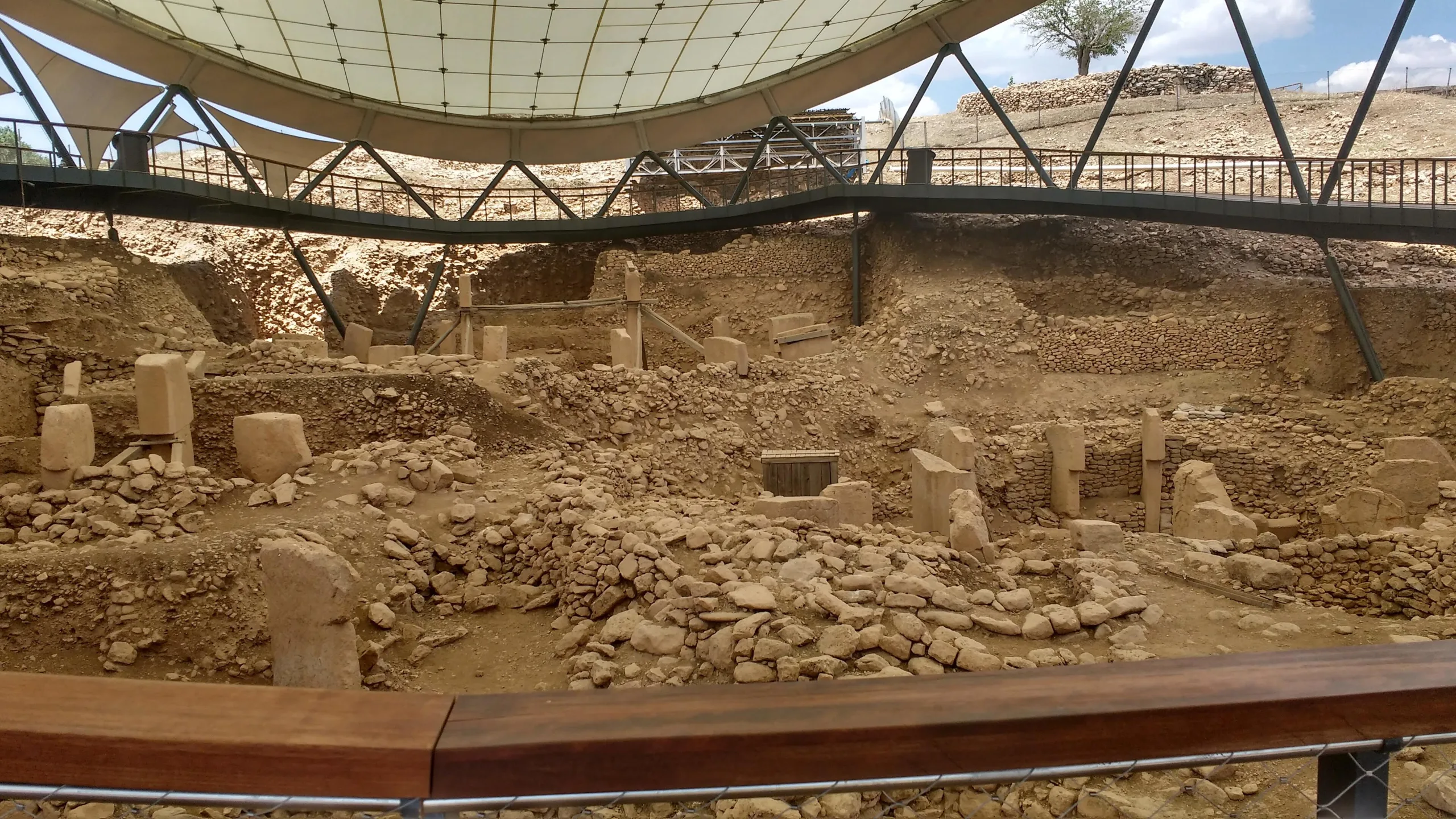
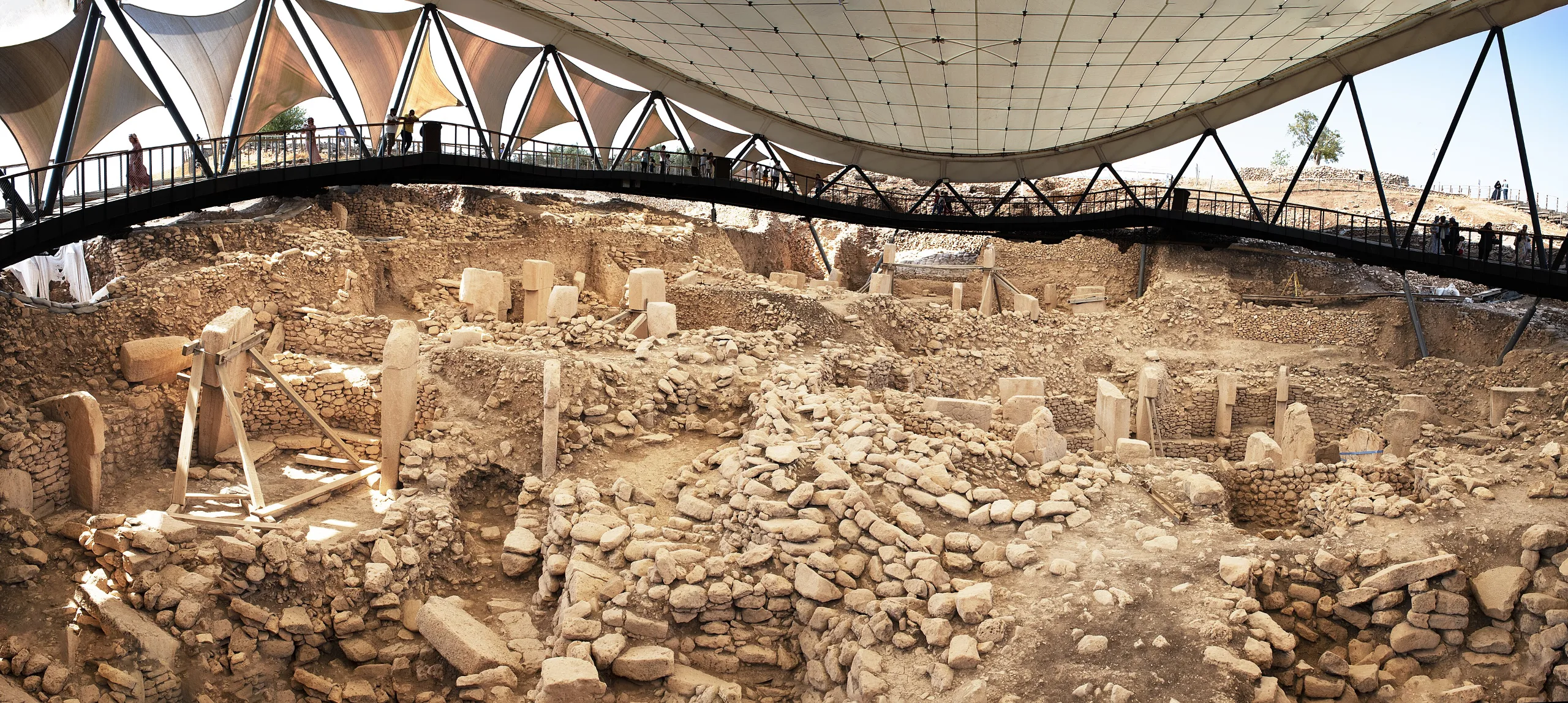
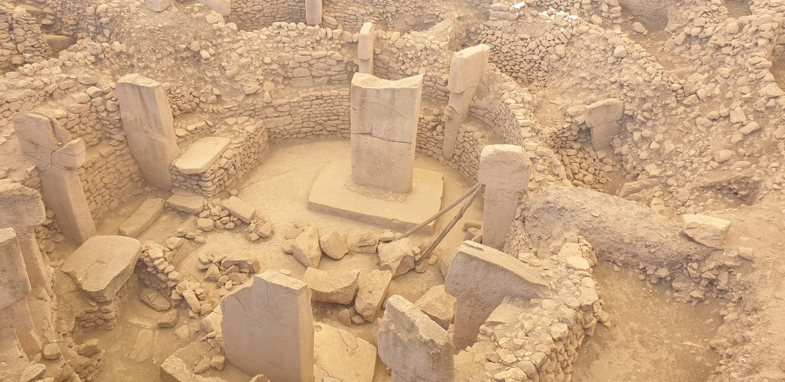
The Layer III buildings are round or oval, between 10 and 30 m wide. T-shaped pillars stand at intervals around the edge, tied together by walls or benches, while two taller pillars face each other in the middle. Each was cut as a single block from the surrounding rock. A few unfinished ones still lie in the plateau quarries, and the hollows and marks cut into the same rock have not been explained.
Most pillars carry animals, people or abstract signs. Relief arms and fingers on the shafts, plus belts and loincloths, are why the stones are read as stylised human beings. Every animal is wild: aurochs in attack posture, boars, bears, panthers, snakes, scorpion-like arthropods and big scavenging birds. Predator sculptures may have served as guardians of the buildings, an idea that recalls Kerberos, the watchdog of the underworld in later myth.
Building D
Of the buildings opened so far, D is the biggest and the best kept. Eleven T-shaped pillars surround two giant central stones, each about 5.5 m high and some 8 tonnes in weight, which stand in low sockets carved out of the bedrock. One pedestal bears a frieze of ducks, and foxes, birds and snakes are the creatures that appear most often.
A to H and beyond
Buildings are labelled A to H in order of discovery, and only eight have been worked on. Geophysical scans, which read the ground without digging, point to at least twenty monumental structures; a large part of the site therefore still lies under the soil.
The small rooms
Layer II buildings are smaller: rectangular rooms of about 3 by 4 m, frequently with lime-plaster floors. They usually hold just two small central stones, and the biggest of these does not exceed 2 m.
What was it for?
The common view is that nobody lived here and the place served worship and gathering, yet recent digs have also uncovered plainer, house-like structures, so the debate is open. After use, the buildings were deliberately backfilled with limestone rubble, flint flakes, stone tools and enormous numbers of animal bones. So many bones point to great feasts, and the burial itself is linked to a cult of the dead. Feasting and funerals sit side by side in these readings. Whether the buildings were roofed is still unanswered.
The excavations
Fieldwork started in 1995 under Şanlıurfa Museum. Harald Hauptmann of the German Archaeological Institute (DAI) was acting director, and Klaus Schmidt coordinated the work from the start. When Hauptmann retired, Schmidt took over as director in 2006 and stayed until his death in 2014. Lee Clare then became field director and coordinator of DAI and DFG research. Since 2019 Necmi Karul has headed the Göbekli Tepe Culture and Karahantepe project. DAI work continues under Clare, and the German Research Foundation (DFG) has funded it since 2010.
Finds
The digs have produced many animal sculptures, flint tools, stone beads, vessels and small figurines. Şanlıurfa Archaeological Museum displays reliefs of a leopard, wild boars, a stork, foxes, gazelles, a scorpion and snakes, along with a headless human figure from the enclosures. It also holds a replica of the site, which is worth seeing before or after the trip to the hill.
World Heritage and protection
The listing came in 2018 under criteria (i), (ii) and (iv). The argument was that this monumental architecture stands at the threshold between foraging and the first farming communities, and that it shows skilled stoneworkers and perhaps the rise of a more hierarchical society. The mound and plateau were registered as a first-degree archaeological site in 2005 and the buffer zone as a third-degree site in 2016. A management plan drafted in 2013 was revised in 2016 and finished in 2017. A planned railway and growing visitor numbers are seen as possible risks to the buffer zone and its surroundings.
Visiting
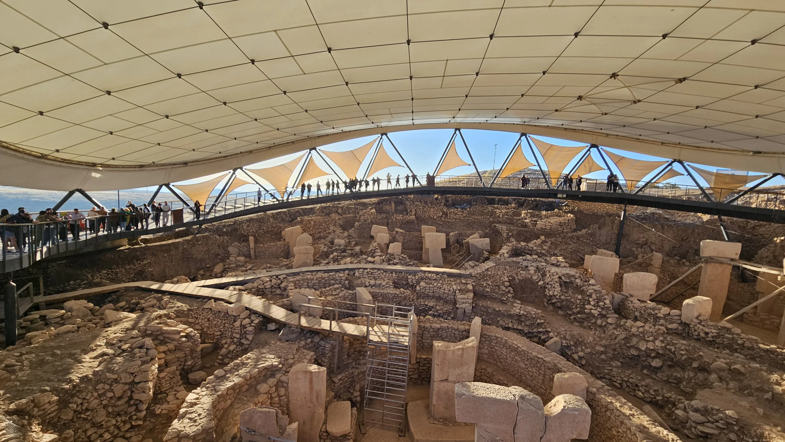
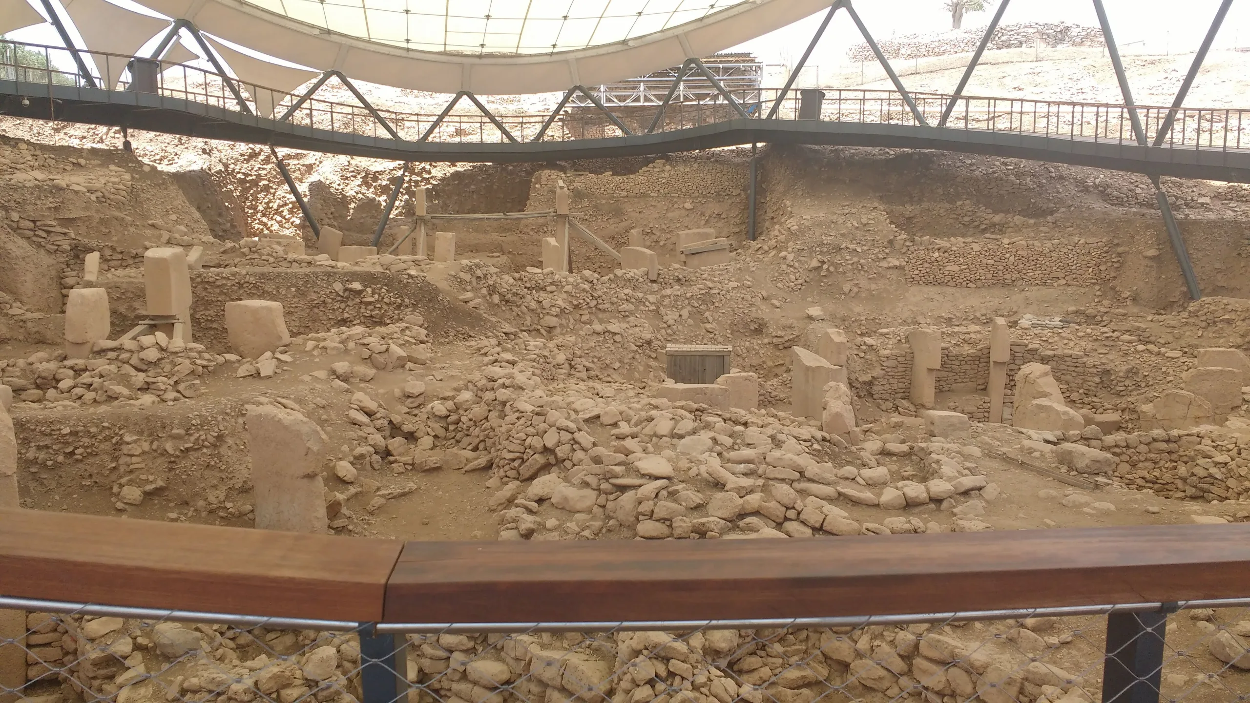
A covered walkway runs around the excavated area, and a shuttle takes visitors up from the welcome building in about a minute. An audio guide and short animations are provided at the entrance. For hours and fees consult the official museum page. The MüzeKart is valid for Turkish citizens.
Gallery
Frequently asked questions
Where is Göbekli Tepe?
How old is Göbekli Tepe?
What do the T-shaped pillars represent?
Did people live there?
Why were the buildings filled in with soil?
Where are the finds displayed?
Sources (15)
- Göbeklitepe Örenyeri / Göbekli Tepe Archaeological Site (TR ve EN sayfalar) — T.C. Kültür ve Turizm Bakanlığı, Müzeler ve Ören Yerleri
- Göbekli Tepe - World Heritage List 1572 (özet ve Üstün Evrensel Değer metni) — UNESCO World Heritage Centre
- Advisory Body Evaluation No 1572: Göbekli Tepe (ICOMOS, 2018) — ICOMOS / UNESCO
- Göbekli Tepe aday gösterme dosyası (Türkiye, 2017) — T.C. Kültür ve Turizm Bakanlığı / UNESCO WHC
- From the Göbekli Tepe Research Project: Over twenty-five years of research at Göbekli Tepe (2023) — Deutsches Archäologisches Institut, Tepe Telegrams
- Göbekli Tepe (Pleiades place 245438984) — Pleiades
Photo credits
- Photo: Dosseman, CC BY-SA 4.0 — Wikimedia Commons (resized)
- Photo: Teomancimit, CC BY-SA 3.0 — Wikimedia Commons (resized)
- Photo: Creator:Rolfcosar, CC BY-SA 3.0 — Wikimedia Commons (resized)
- Photo: German Archaeological Institute, photo E. Kücük., CC BY 4.0 — Wikimedia Commons (resized)
- Photo: Philrock, CC BY-SA 4.0 — Wikimedia Commons (resized)
- Photo: Immanuelle, CC BY-SA 4.0 — Wikimedia Commons (resized)
- Photo: Immanuelle, CC BY-SA 4.0 — Wikimedia Commons (resized)
- Photo: Spica-Vega Photo Arts (Banu Nazikcan), CC BY-SA 4.0 — Wikimedia Commons (resized)
- Photo: Kerimbesler, CC BY-SA 4.0 — Wikimedia Commons (resized)