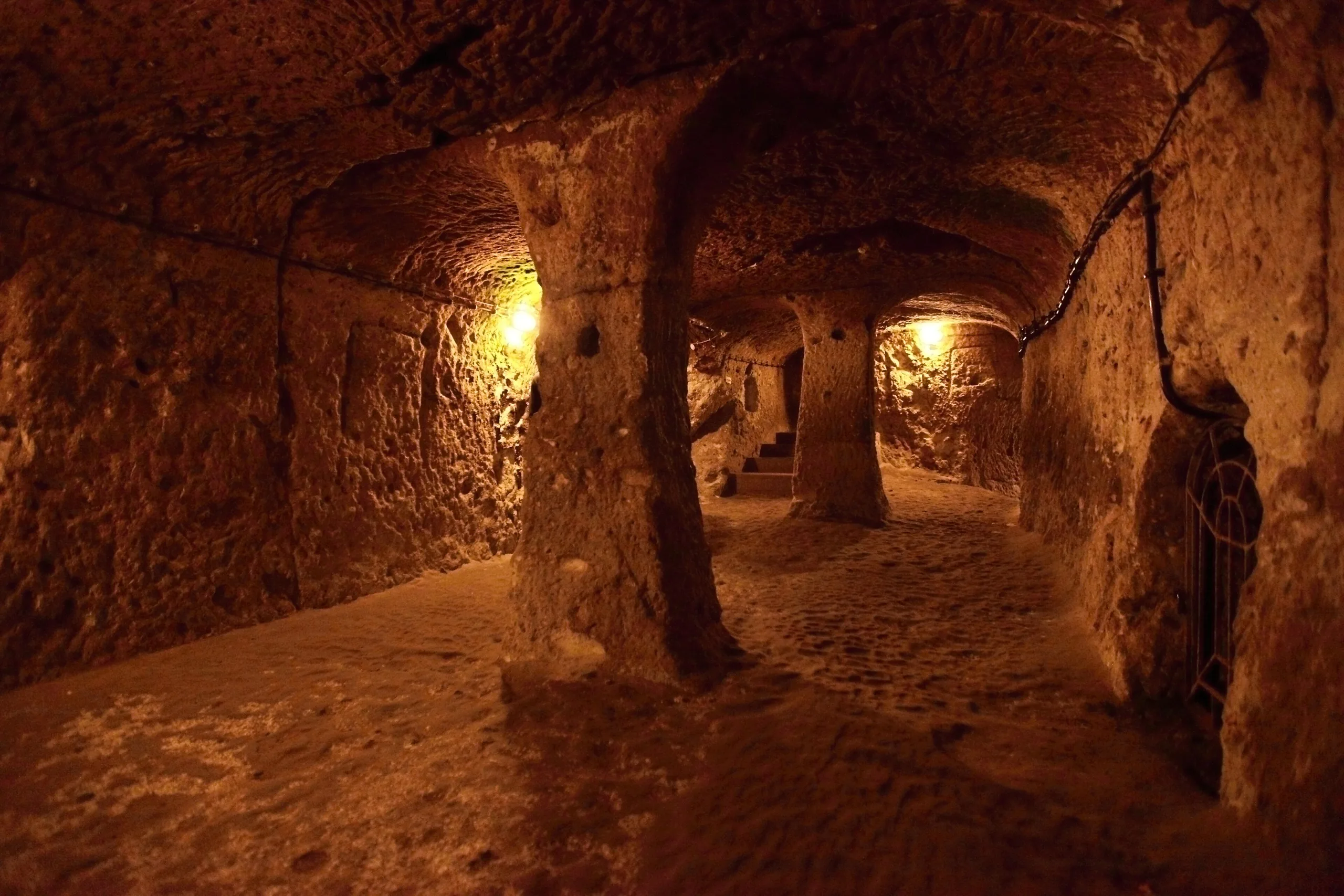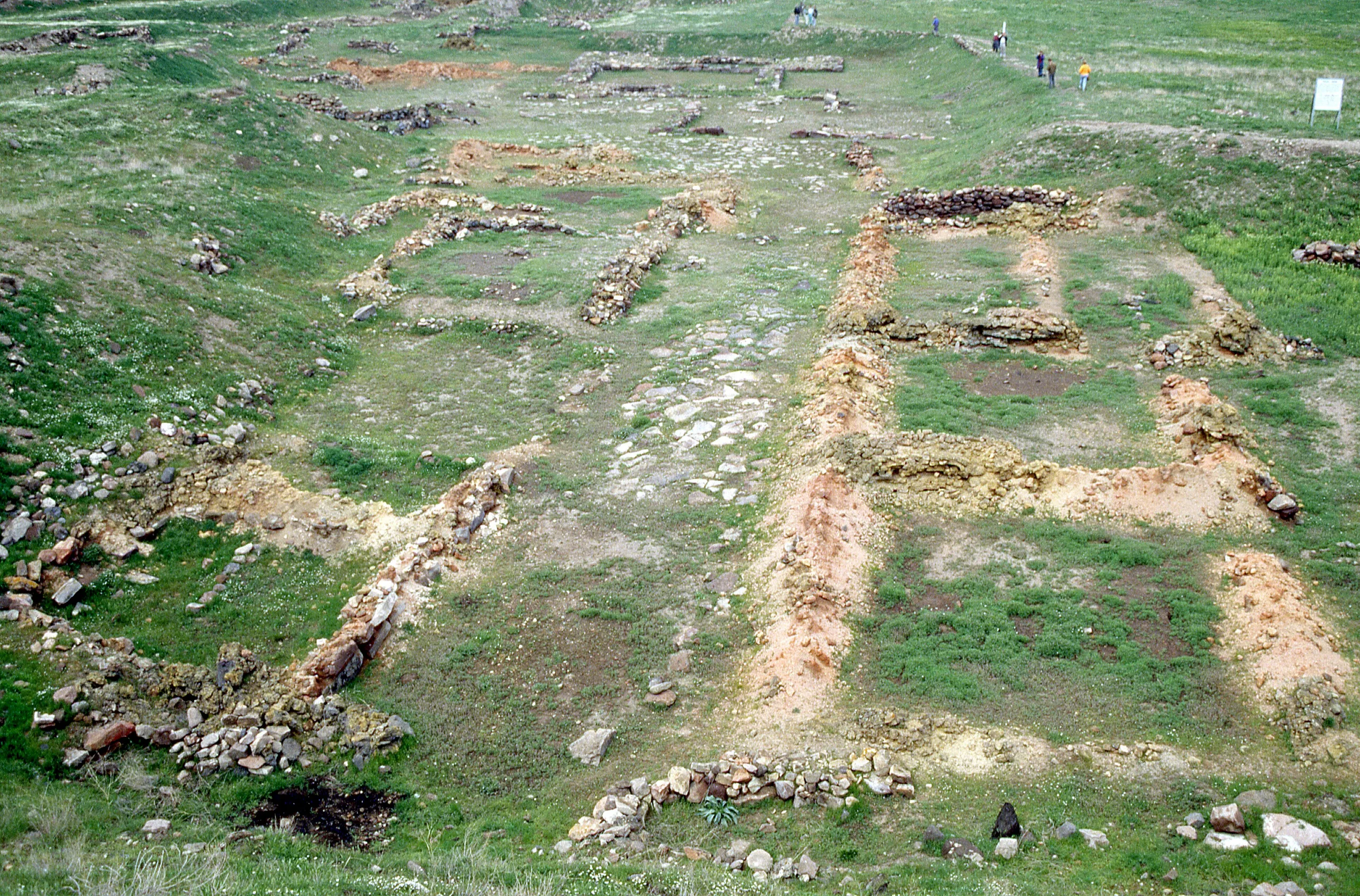
At the foot of Mount Erciyes near Kayseri, ancient Kanesh: a capital mound and its Karum lower town, hub of the Assyrian merchants and source of thousands of cuneiform tablets.
Kültepe (Kanesh-Karum) is a place (Mound settlement) in Turkey, Kayseri. Main periods: Hellenistic Period, Roman Period, Chalcolithic Period, Bronze Age.
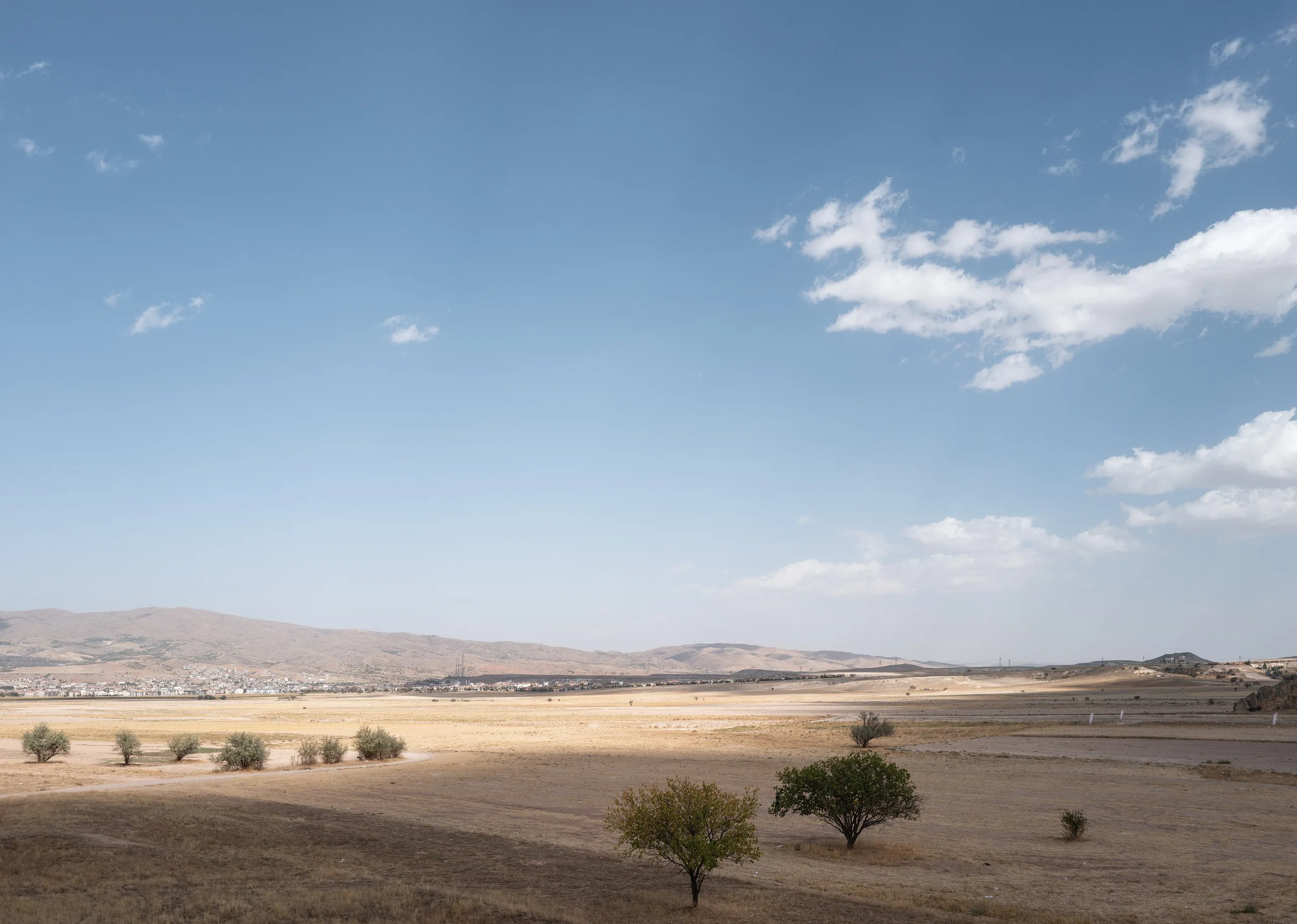
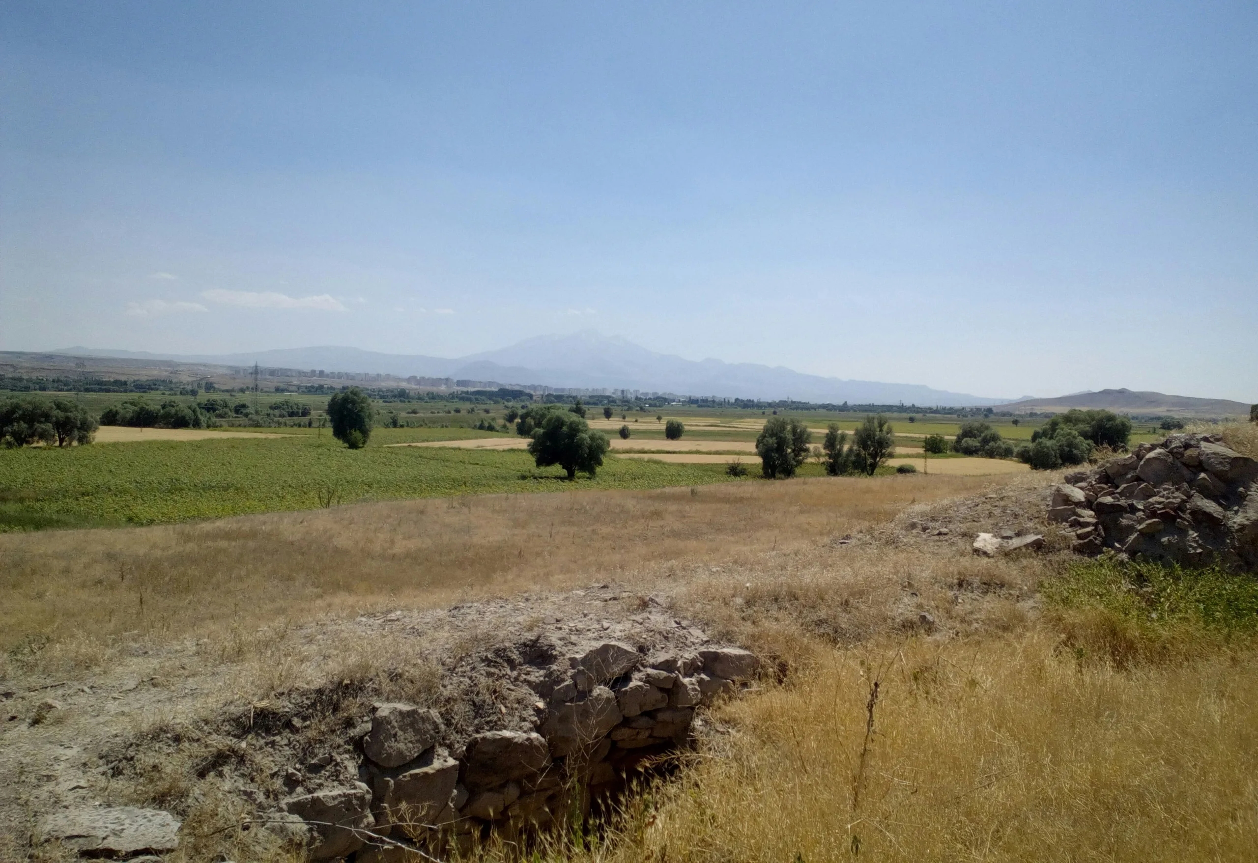
Some twenty kilometres north-east of Kayseri, on the fertile plain under Mount Erciyes, a mound rises barely twenty metres. Four thousand years ago this was the capital of one of the oldest kingdoms known in Anatolia, while in the lower town around it merchants from Mesopotamia ran the centre of their trading network. It is where Anatolia's written records first come into view, and that is why Kültepe is known today.
A plain where roads meet
The place matters because of where it is. The east-west road down from Sivas, the road from Malatya and the routes running north from the south all cross in this one plain. From the late 3rd millennium BCE, and most of all in the first quarter of the 2nd, that position made it the pivot of trade and cultural exchange between Anatolia, Syria and Mesopotamia. Cuneiform texts name the city Kanesh or Nesha. The name Kültepe goes back to 1871, when the first of the so-called Cappadocian tablets turned up and scattered to museums and the antiquities market.
History
Layers in the mound
The mound measures about 500 metres across. Excavation shows that the earliest settlement dates to the Late Chalcolithic, followed by the Early Bronze Age, then Hittite, Phrygian and Hellenistic-Roman occupation. The middle and late Early Bronze Age were opened up over a wide area, and those levels produced pottery, gold, jewellery and cylinder seals brought from northern Syria and Mesopotamia. They show that links between Anatolia and Mesopotamia began long before the age of the Assyrian trading colonies. Kanesh is named in Mesopotamian records from the last quarter of the 3rd millennium BCE and counts as the oldest known kingdom of Anatolia. In later centuries the mound kept its standing as a city of the land of Tabal in the Late Hittite period, and again under Persian and Roman-Hellenistic rule.
The Karum and the Assyrian merchants
The lower town that wraps the mound is the Karum. About two kilometres across, it was settled roughly between 1950 and 1650 BCE by Assyrian merchants who came to trade in Anatolia. The relationship lasted about a century and a half, and in that time Anatolia met the older civilisation of Mesopotamia and took writing from it. Four building levels, I to IV, are distinguished in the Karum, the last in two phases. Levels II and I were the richest and most important: II dates to roughly 1920-1840 BCE and Ib to roughly 1798-1740 BCE, with fifty or sixty years between them. Fire ended both towns.
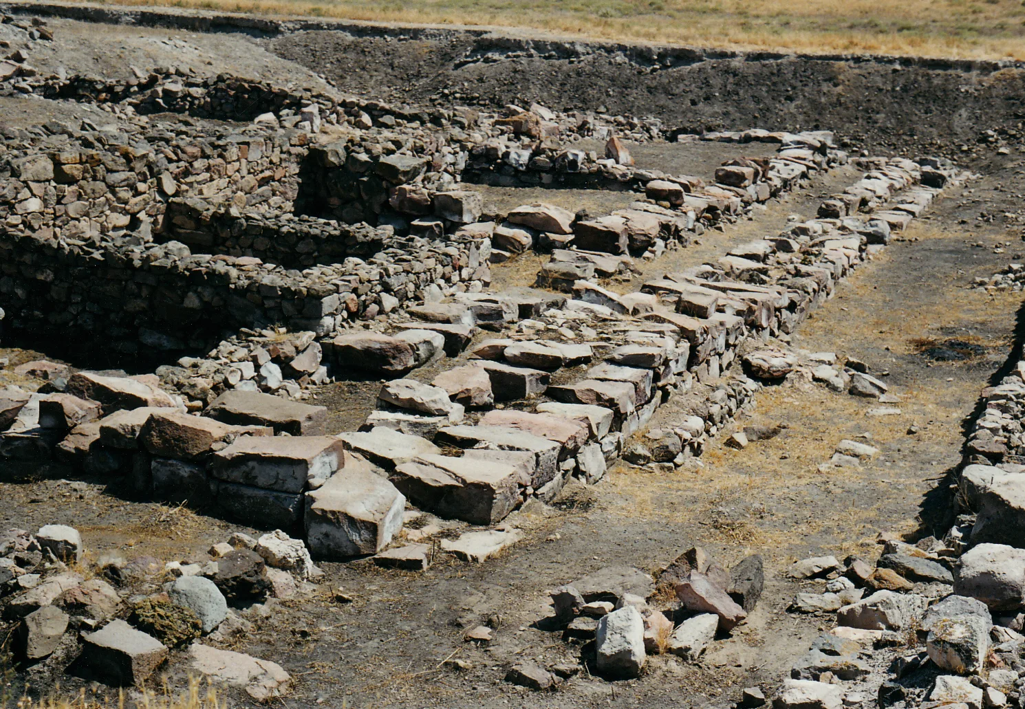
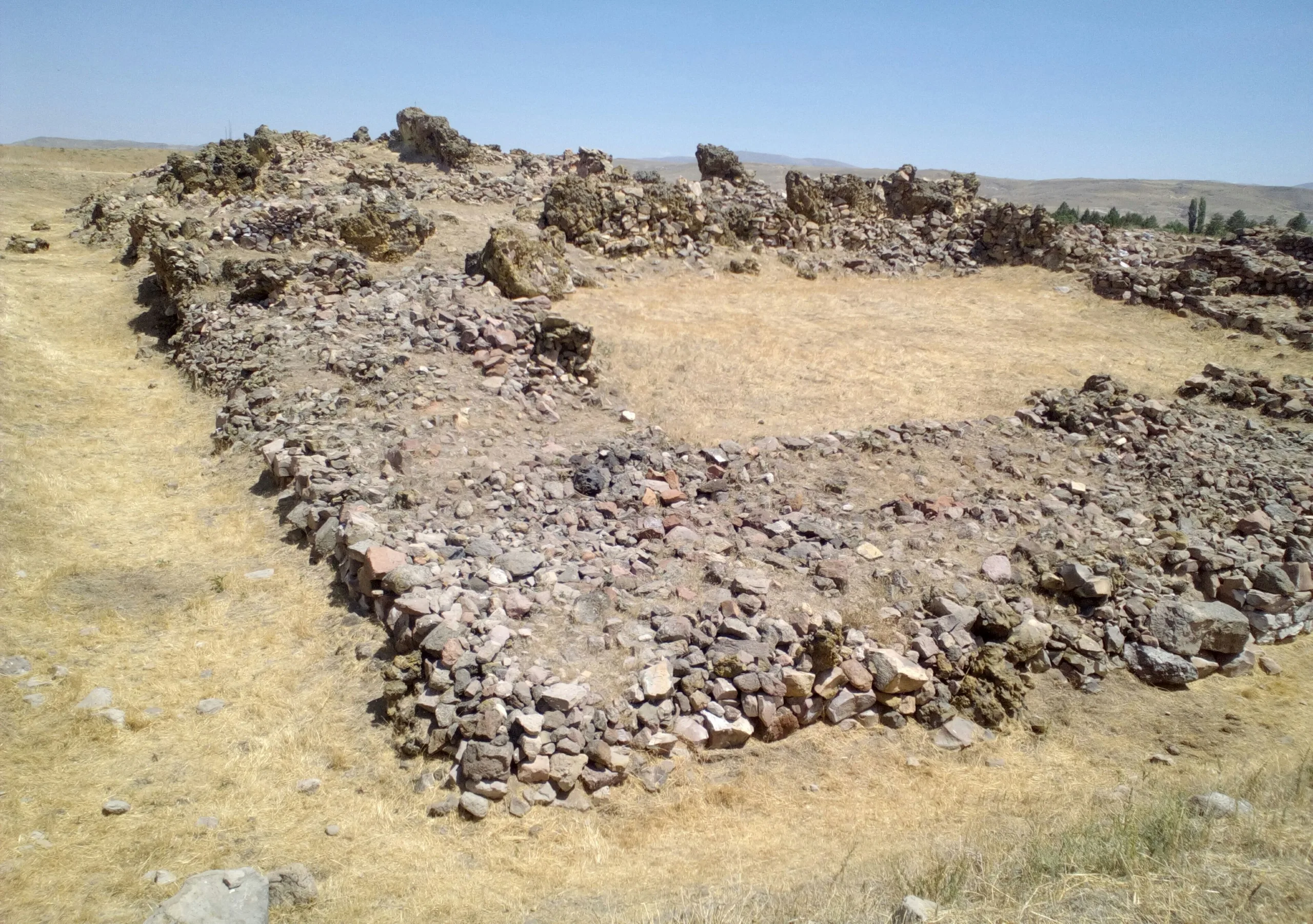
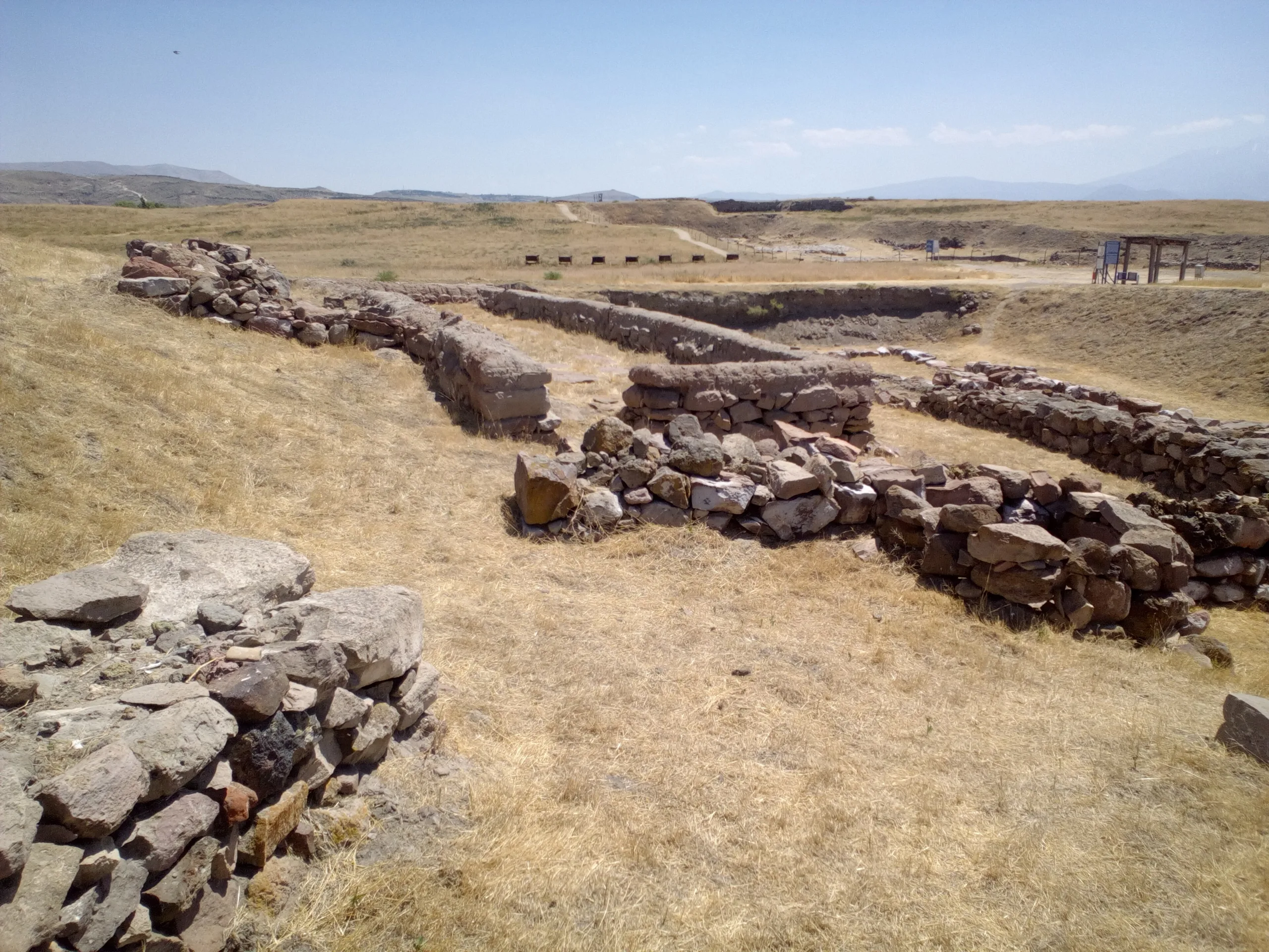
Merchants from Mesopotamia and local people lived side by side here. Stone-paved streets divided large neighbourhoods, which have been laid bare in full plan. Most houses had two storeys, with living room, archive and storeroom kept in separate parts. Kültepe was the leading city of this trade system and the seat of the Kingdom of Kanesh as well, and its Karum governed the other karums of Anatolia.
Finds and buildings
The cuneiform tablets
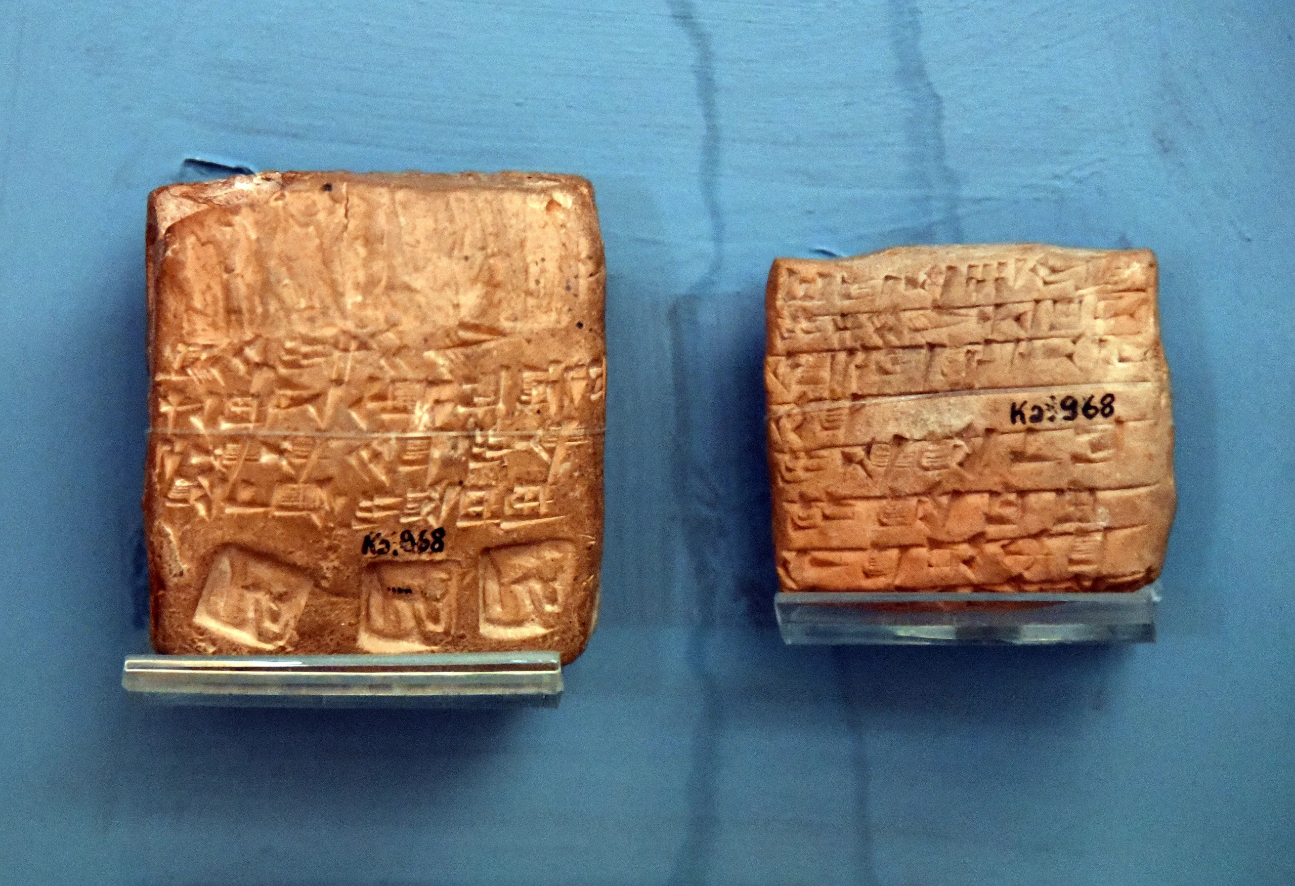
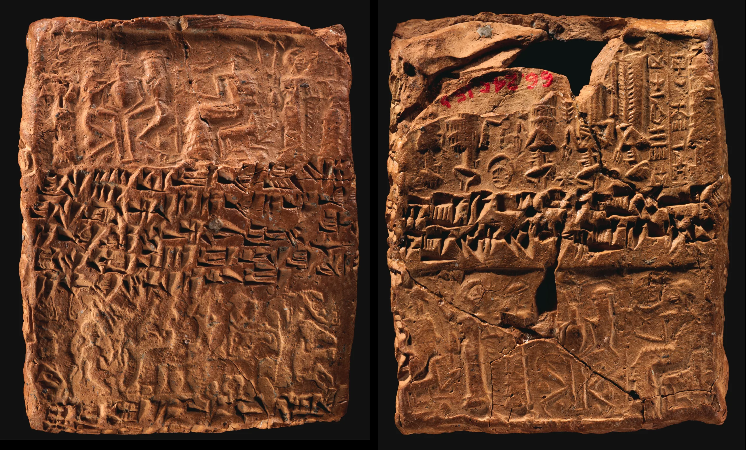
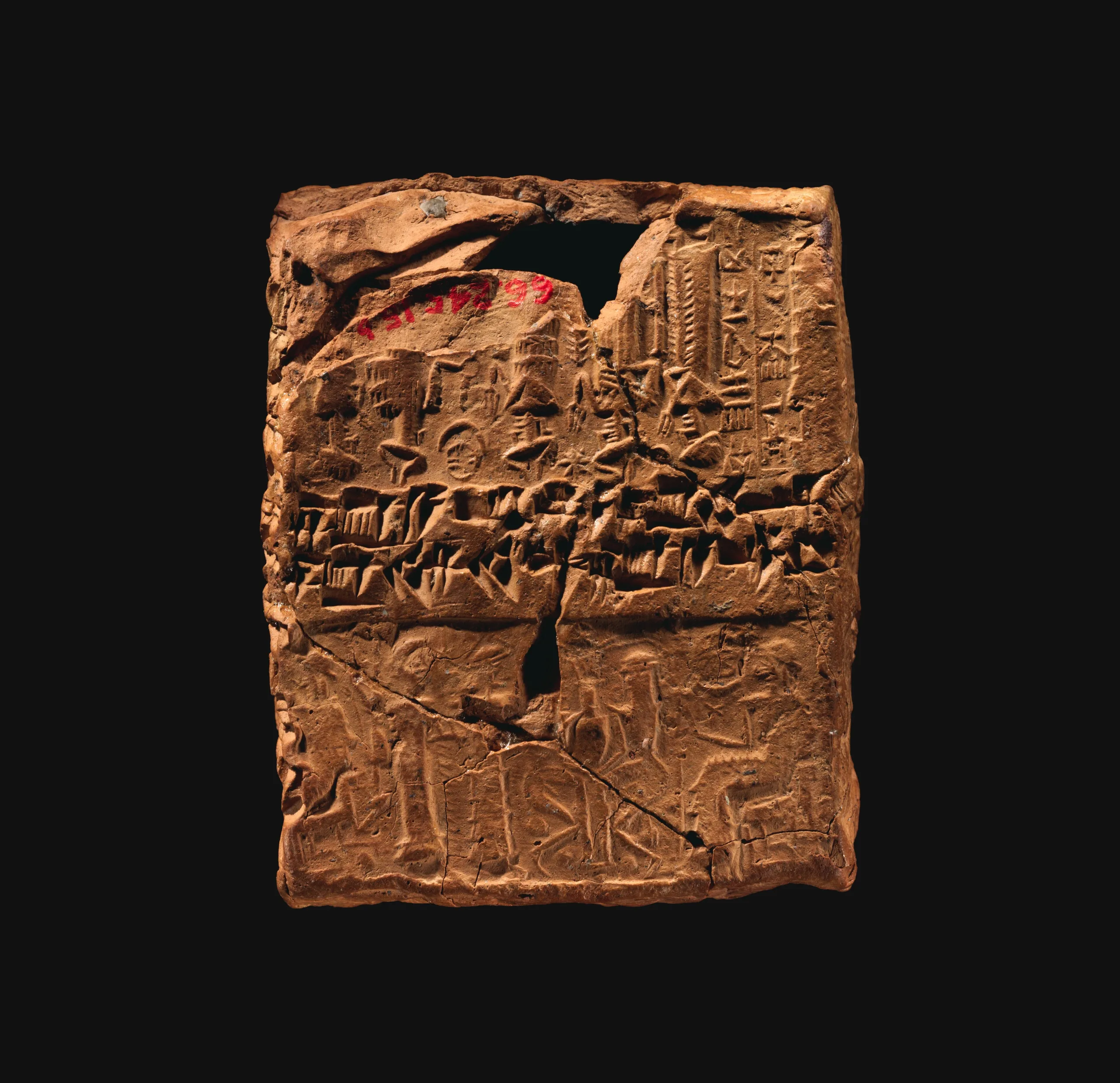
Thousands of clay tablets made Kültepe known across the world. Written in Old Assyrian, they hold trade letters, records of loans and credit, interest accounts, and papers on marriage and divorce, inheritance, the slave trade and court rulings, along with letters exchanged with local rulers. A few are literary texts or school exercises. Most deal with money, yet they give a lively picture of the political and legal life of the age. Thousands of sealed clay envelopes that once held tablets were found as well, and their seal impressions fall into Old Babylonian, Old Assyrian, Old Syrian and Old Anatolian styles, the last being the root of Hittite art. In 2015 the Kültepe tablets were added to UNESCO's Memory of the World register.
The palace and the animal vessels
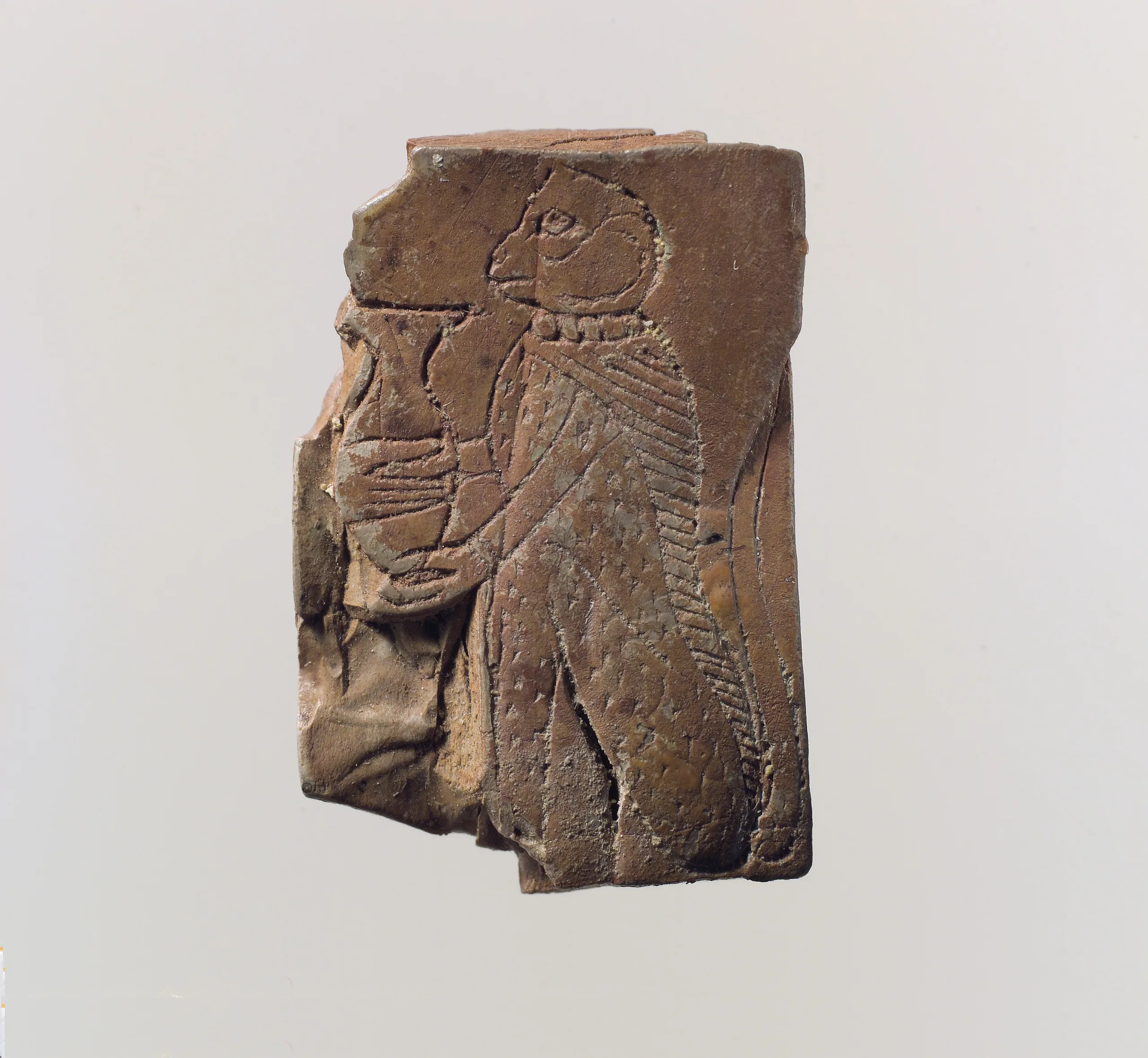
On the citadel stood the palace of Warshama, king of Kanesh. Most of it has been destroyed, but fifty ground-floor rooms and part of the archive were uncovered. It belongs to the same age as level I and was raised on the ruins of an older level II palace, in Old Babylonian taste. Local potters left a distinctive mark too: vessels shaped like lions, bulls, antelopes and eagles were ceremonial drinking cups that imitated ones in precious metal.
Excavations
Scholars turned to Kültepe once tablets began pouring into museums. In 1925 Hrozný chanced on the source of the tablets, and so on the Karum. Systematic digging began in 1948 under Tahsin Özgüç and has gone on without a break; Prof. Dr. Fikri Kulakoğlu has led it since 2005. The finds are shown mainly in the Kayseri Archaeology Museum, and also in the Museum of Anatolian Civilisations in Ankara and the Istanbul Archaeology Museums.
Visiting
The site lies along the Kayseri-Sivas highway. In the open you can see the architectural remains of large religious and official buildings, houses, shops and workshops. For current visiting conditions, use the official link.
Gallery
Frequently asked questions
Where is Kültepe?
What was Kültepe called in ancient times?
What is a karum, and what did Kültepe's do?
What do the tablets actually say?
How long have the excavations been running?
Which periods can be seen at Kültepe?
Sources (13)
- Kültepe Örenyeri / Kültepe Archaeological Site (TR ve EN) — T.C. Kültür ve Turizm Bakanlığı, Müzeler ve Örenyerleri
- Kültepe Ören Yeri - Kayseri — T.C. Kültür ve Turizm Bakanlığı, Türkiye Kültür Portalı
- Kültepe Tanıtım — Kültepe-Kaniş-Karum Kazısı (kultepe.org)
- Kaniş (Pleiades place 58129442) — Pleiades
Photo credits
- Photo: Mark Landon, CC BY 4.0 — Wikimedia Commons (resized)
- Photo: Klaus-Peter Simon, CC BY-SA 3.0 — Wikimedia Commons (resized)
- Photo: Osama Shukir Muhammed Amin FRCP(Glasg), CC BY-SA 4.0 — Wikimedia Commons (resized)
- Photo: Metropolitan Museum of Art, CC0 — Wikimedia Commons (resized)
- Photo: This file was donated to Wikimedia Commons as part of a project by the Metropolitan Museum of Art . See the Image and Data Resources Open Access Policy, CC0 — Wikimedia Commons (resized)
- Photo: Laszlovszky András, CC BY-SA 4.0 — Wikimedia Commons (resized)
- Photo: This file was donated to Wikimedia Commons as part of a project by the Metropolitan Museum of Art . See the Image and Data Resources Open Access Policy, CC0 — Wikimedia Commons (resized)
- Photo: Laszlovszky András, CC BY-SA 4.0 — Wikimedia Commons (resized)
- Photo: Laszlovszky András, CC BY-SA 4.0 — Wikimedia Commons (resized)