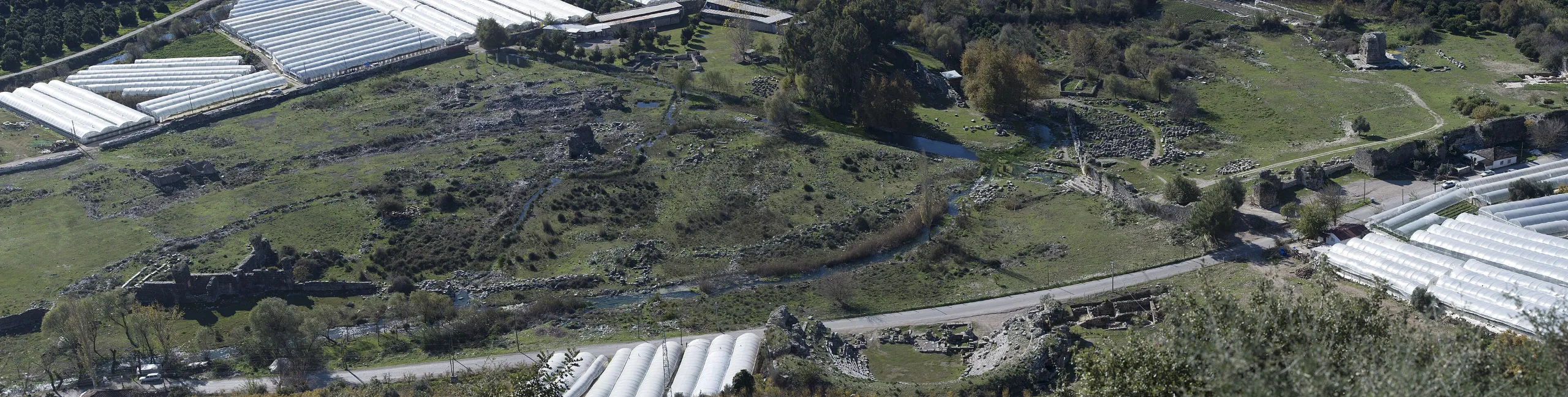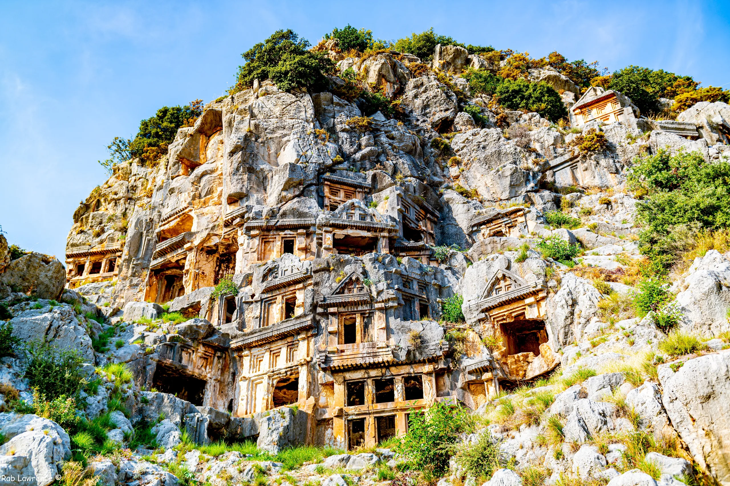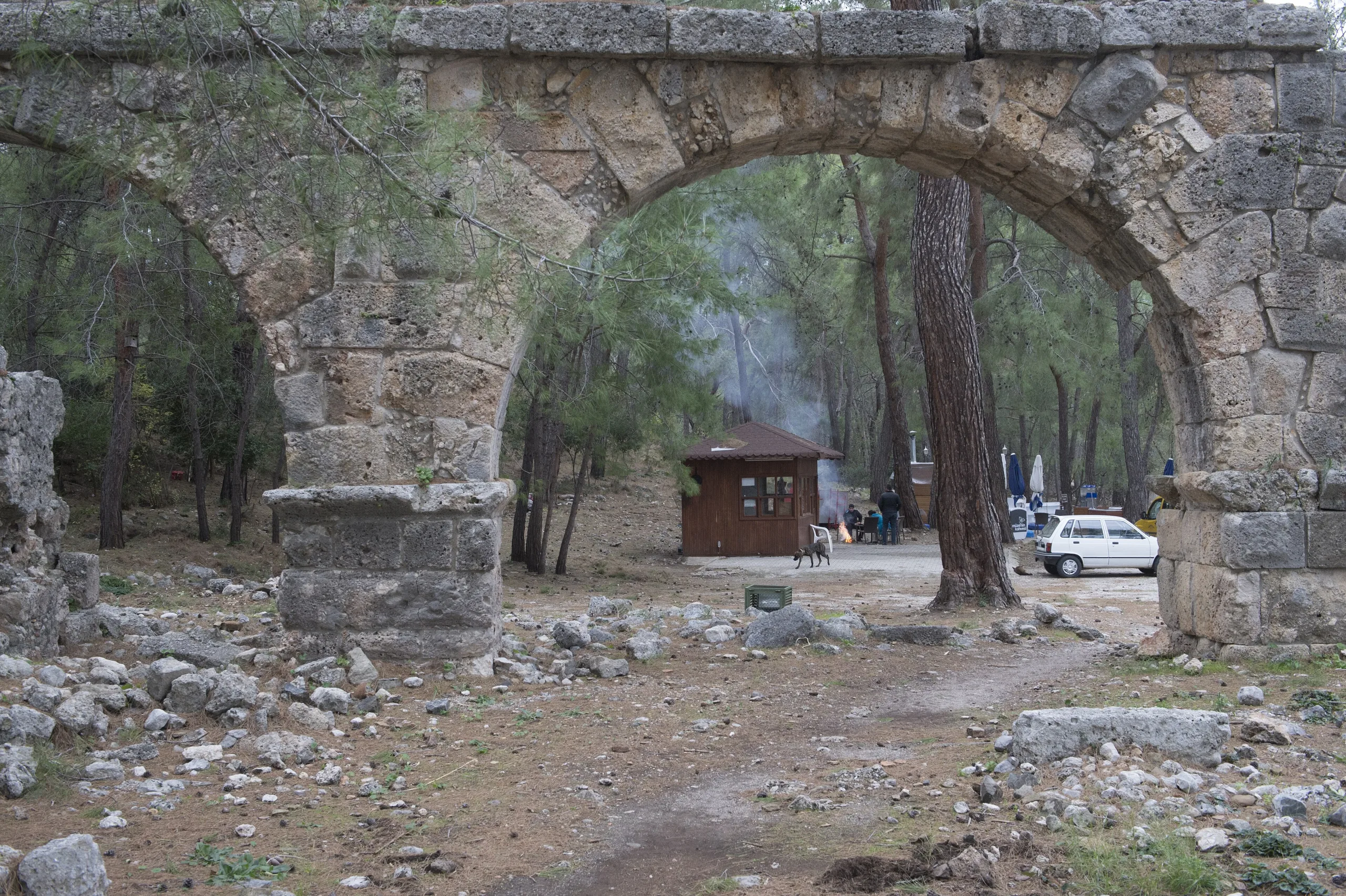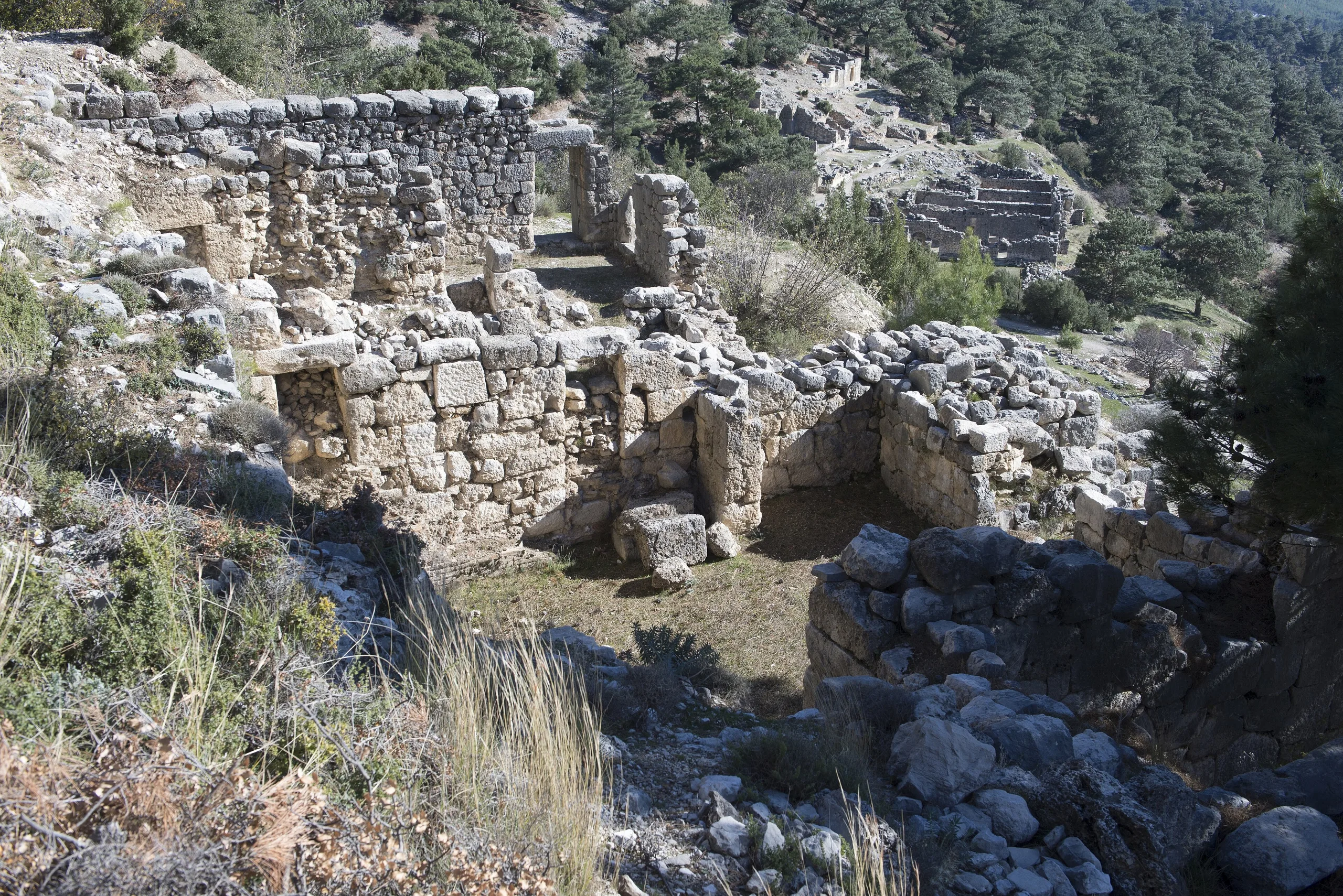
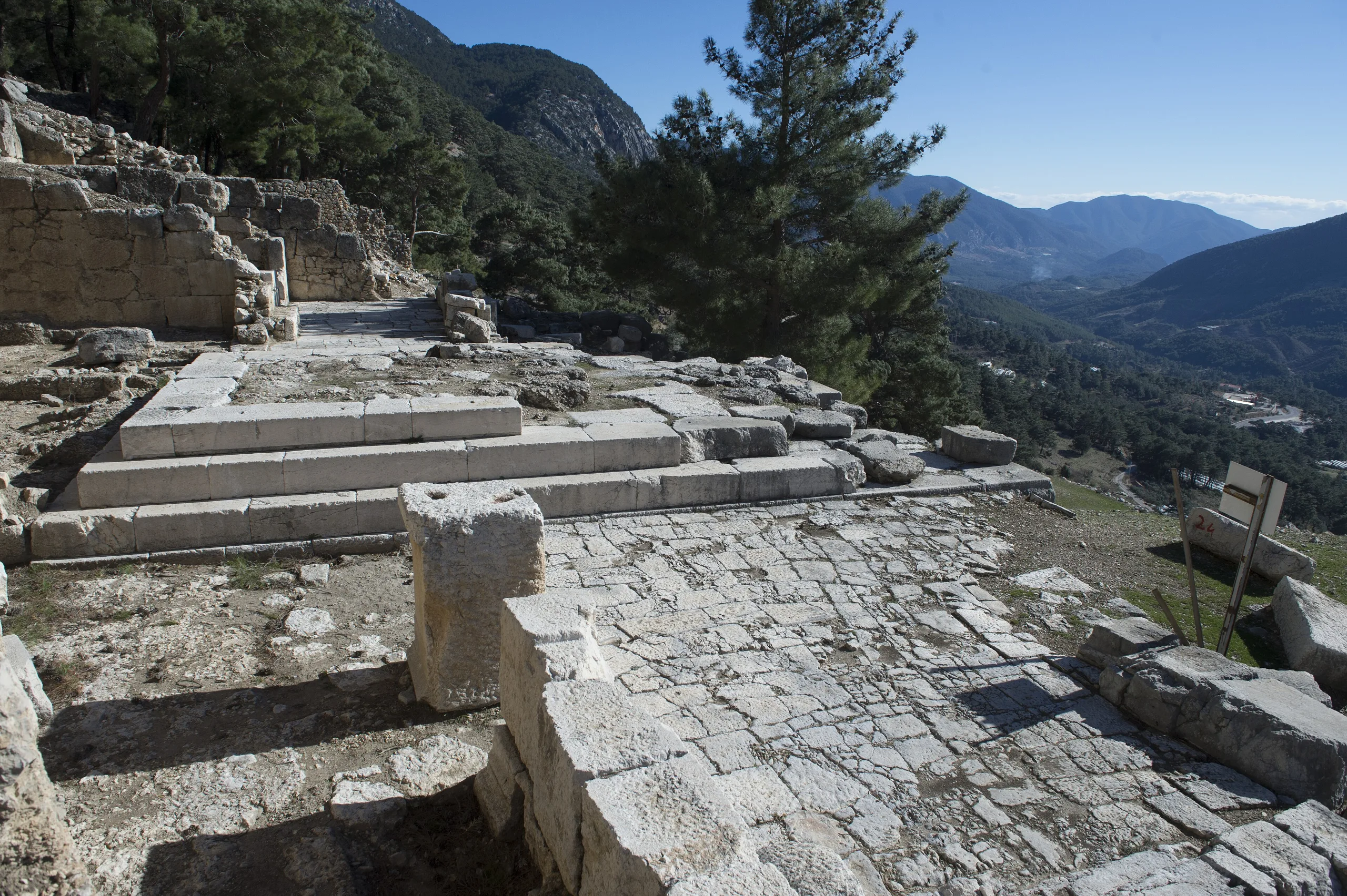
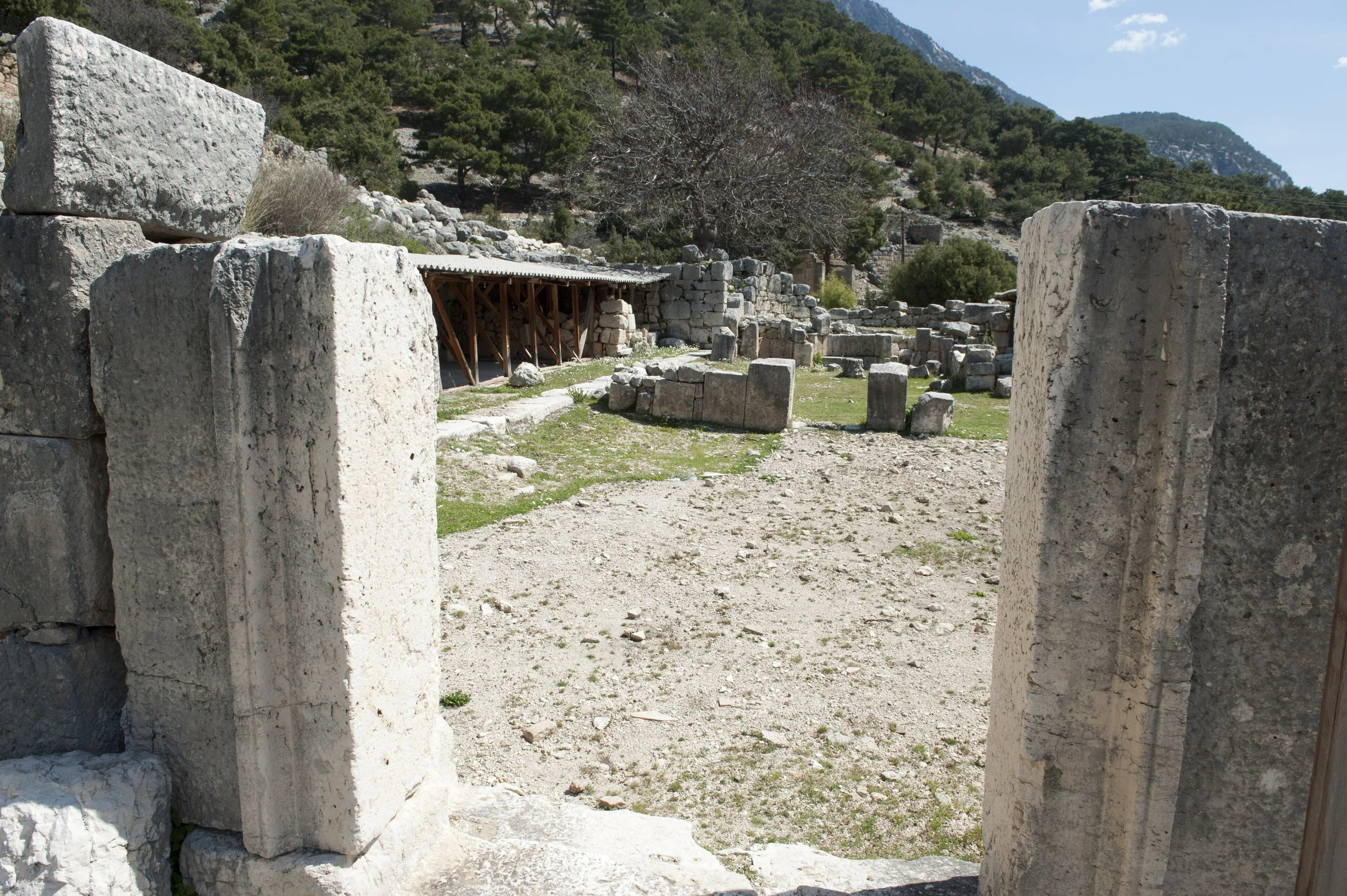
Arycanda sits at the foot of a tall rock face, as its name says, and spreads over terraces: theatre, stadium, bath-gymnasium and monumental tombs rise up the slope above Finike.
Arykanda is an ancient city located in Turkey, Antalya. Main periods: Hellenistic Period, Roman Period, Byzantine Period.
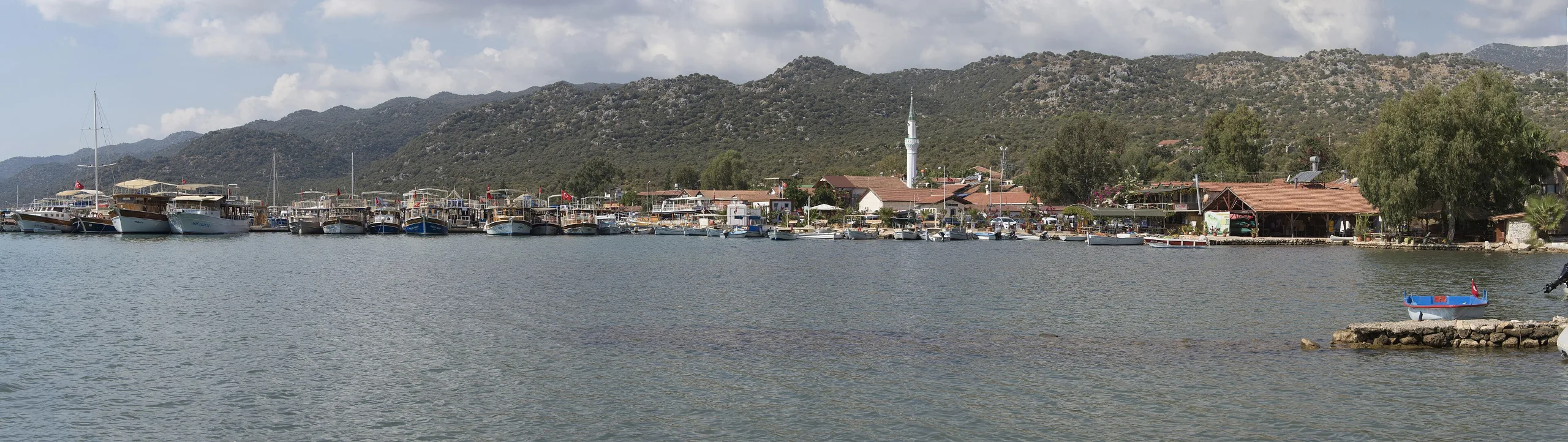
Thirty-five miles from the sea, below a cliff called Şahinkaya, Charles Fellows found in 1838 what he called a city unknown for twenty centuries. The name Arycanda means the place beside the high rock, and the setting fits: the city leans against the rock wall that closes it off on the north, and its buildings step down a slope that faces south. Cliffs close in on the east and west too. It lies near Finike, in the territory of Arif village, beside the Finike-Elmalı road.
Setting and name
Minibuses from Finike towards Elmalı, or a private car, bring you to the site. The name is written Arykawanda in its Luwian form and Ary-ka-wanda in its Lycian one, with the same meaning. That the name reflects a native Anatolian language suggests Arycanda was among the oldest settlements in Lycia. The city stands on an important road that tied the port of Phoinikos to the inland Kabalia plain and to Pisidia, and the surrounding hills have many springs. Check the official page for current visiting terms.
History
Axes of Late Chalcolithic to Early Bronze Age type have turned up at Limyra and Patara as well as Arycanda, which hints at dense early settlement around here. Even so, Arycanda itself yielded nothing earlier than one stone axe of the 2nd millennium BCE, so tracing its story back beyond the 5th century BCE is hard. Coins of two local lords, Kuprili and Aquwami, belong to that century and to Persian rule. Coins of Perikles, lord of Limyra, from the 4th century BCE show that for a time Arycanda was subject to Limyra.
After Alexander died, the city passed like its neighbours to the Ptolemies, then the Seleucids, and after the Peace of Apameia it came under Rhodian control. In the 2nd century BCE it struck its own coins as a member of the Lycian League. Emperor Claudius dissolved the League in 43 CE and joined Lycia to Pamphylia as a Roman province. Arycanda never played a big part in the politics of Lycia; its wealth came from the timber trade and from sitting on one of the main roads of eastern Lycia. Under Rome, plentiful water made it a safe place to stop and rest. Its peak fell in the 2nd and 3rd centuries CE, and most of the buildings visible now date from then.
After a great earthquake in 240 the city was partly repaired. In Byzantine times it was known as Akalanda or Orykanda. Remains and written records show it lasted until the 11th century, and settlement may then have moved to the south of today's highway. Earthquakes and Arab raids are also named as the cause of its final emptying.
The traveller who found it
Fellows fixed the city's location from grave inscriptions and coins he picked up on the surface. He had left Limyra for Arif in early May, on his second trip to Lycia. First he worked out that the river in the valley was the ancient Arykandos, today's Aykırçay or Başgöz. Other names in the political story are Kuprili, Aquwami, Perikles and Claudius.
Buildings on the terraces
Acropolis, Helios temple and stadium
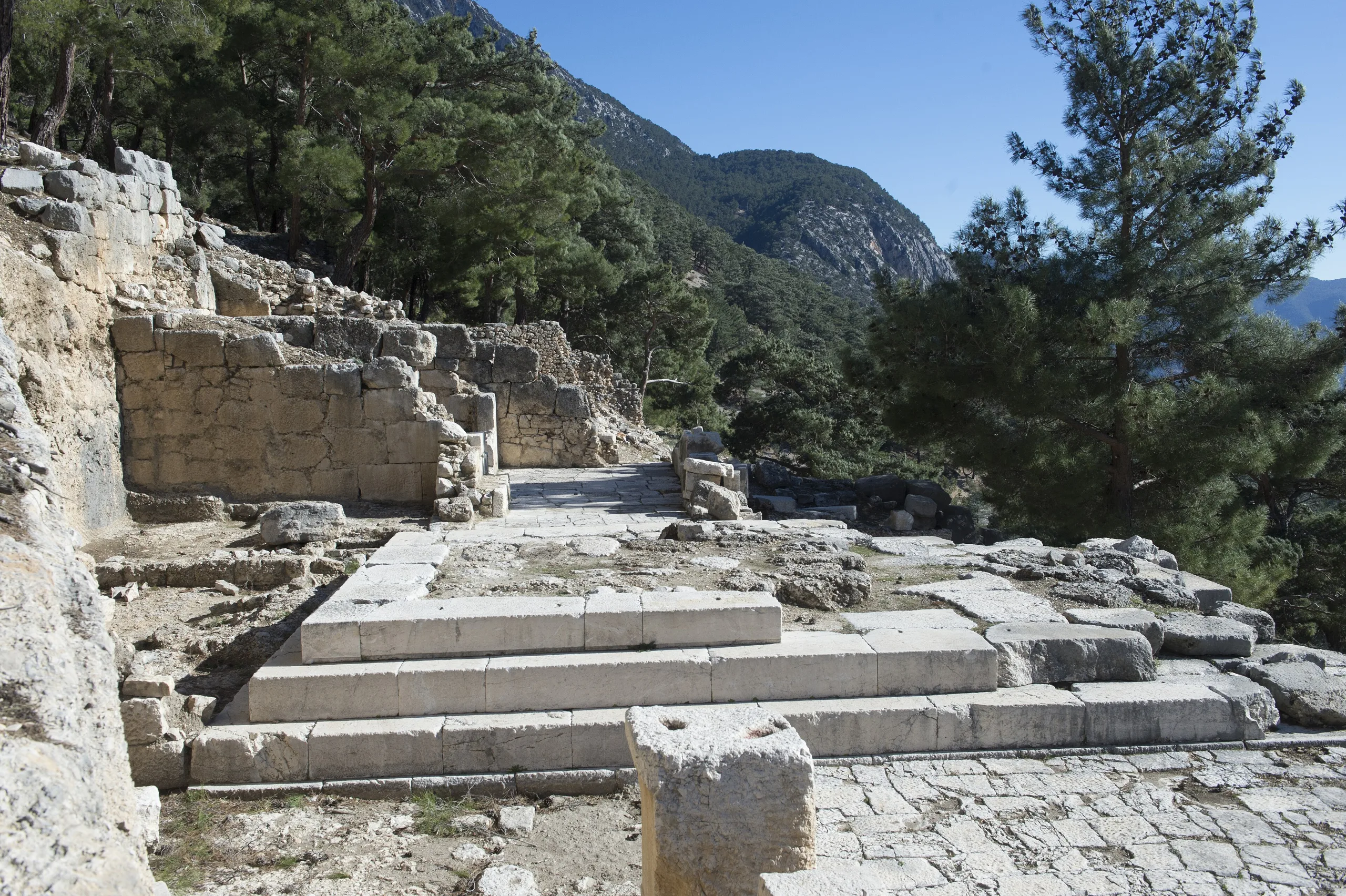
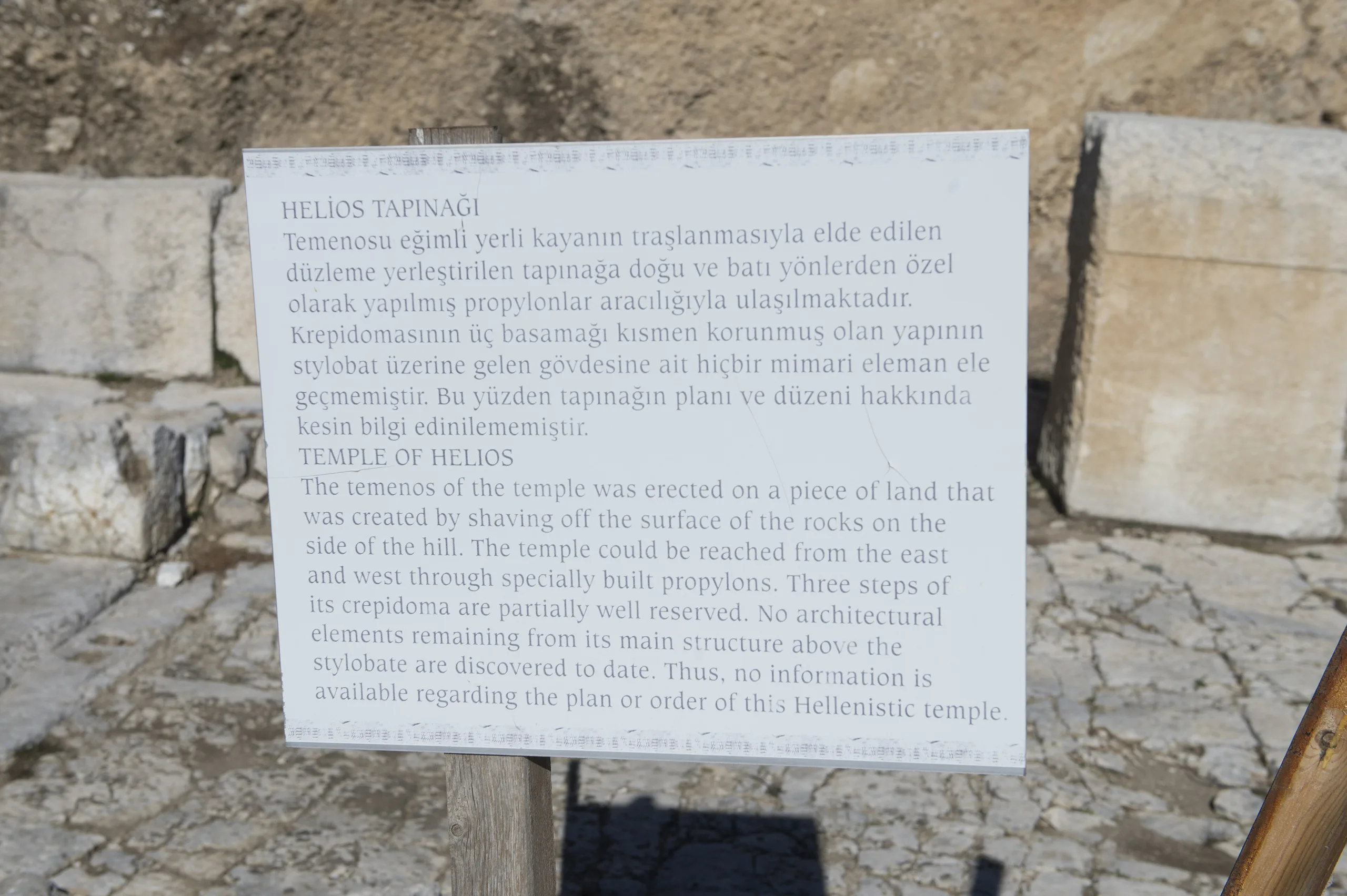
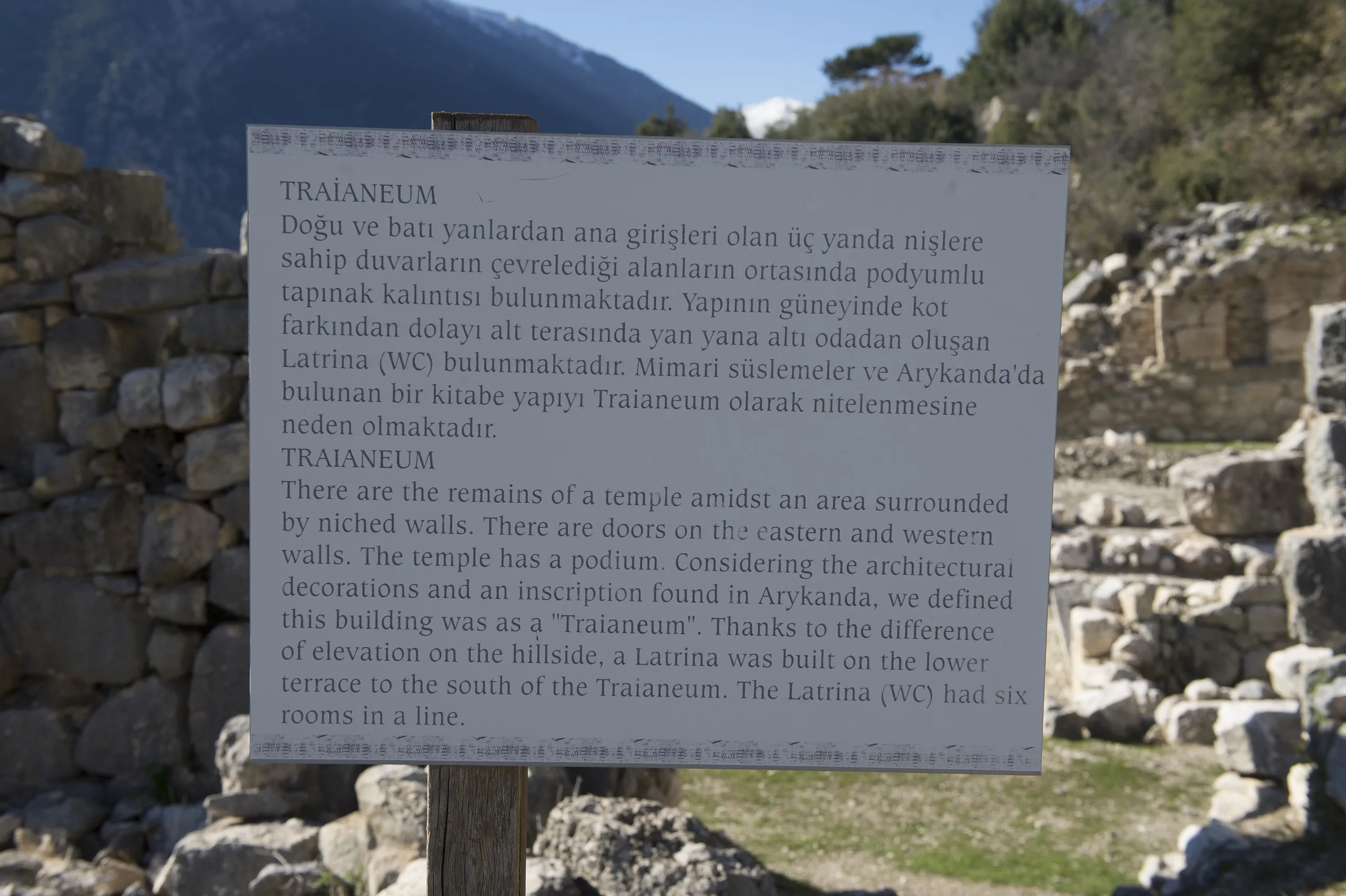
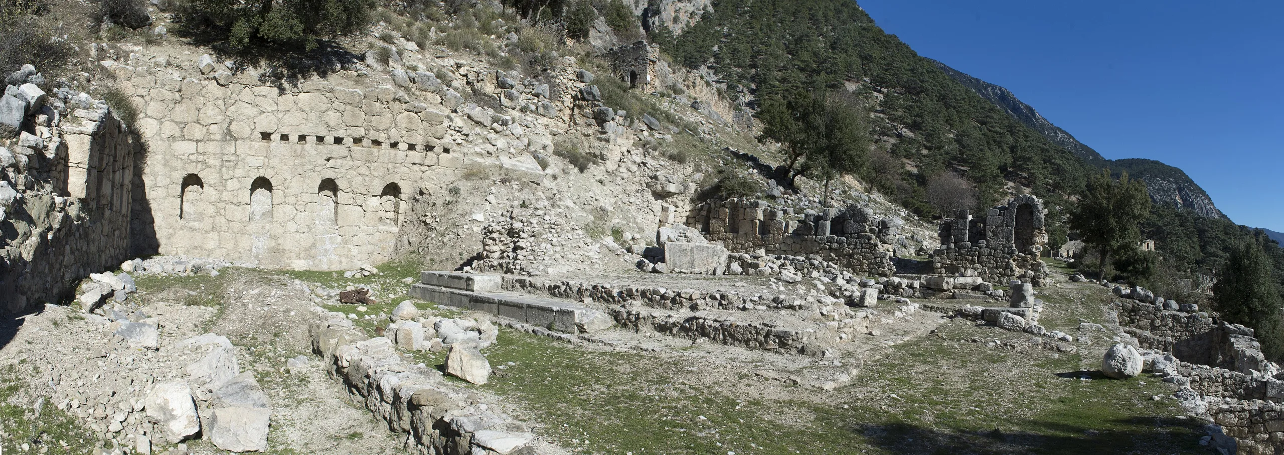
The highest structure is a watchtower on the south-western foot of Şahinkaya. South of it lies a triangular acropolis, thought to be the first settled spot. East of this area are the bouleuterion, or council house, and three shops, and north of the shops stands a 4th-century BCE temple of Helios, the sun god. The acropolis also holds a temple of Trajan, and a Sebasteion (a shrine of the emperor cult) stands among its civic buildings with a prytaneion, a commercial agora and a Great Cistern. The stadium, built in the 1st century CE, has seats along only one of its long sides; the other opens onto the slope.
Theatre, odeon and Great Bath
One terrace below the stadium stands the small but best-preserved theatre in the region. The lowest terrace holds the agora and the odeon, which also served as a council hall and is dated to Hadrian's time. In the south-east of the city the gymnasium sits right beside the bath, and this bath-gymnasium complex is named as the most splendid survivor. Villas with mosaic floors and an agora with shops are also preserved.
Necropolis, churches and fortification
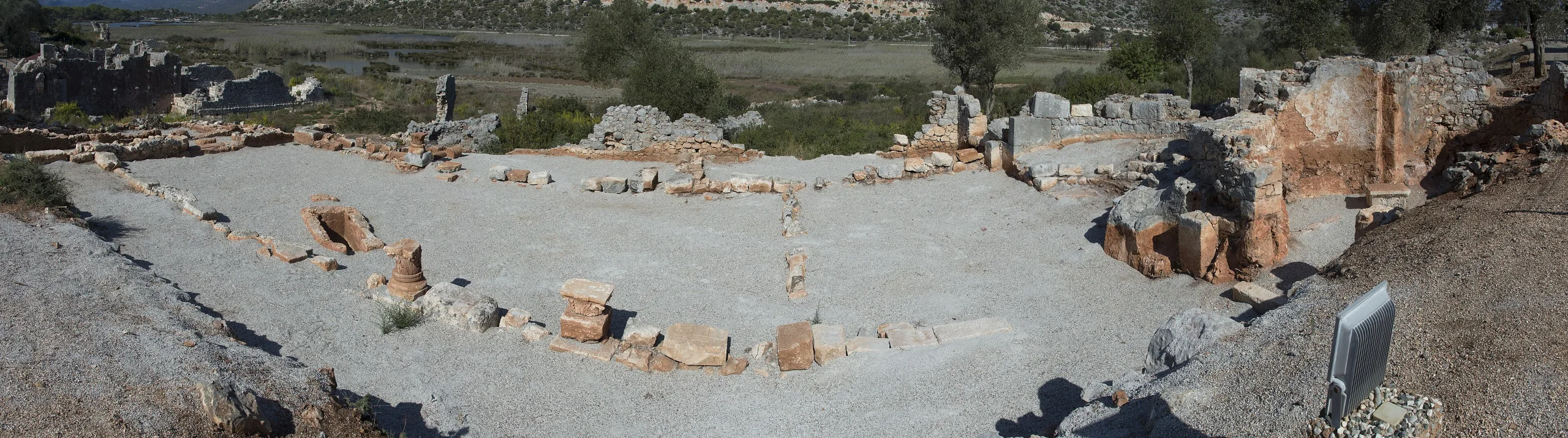
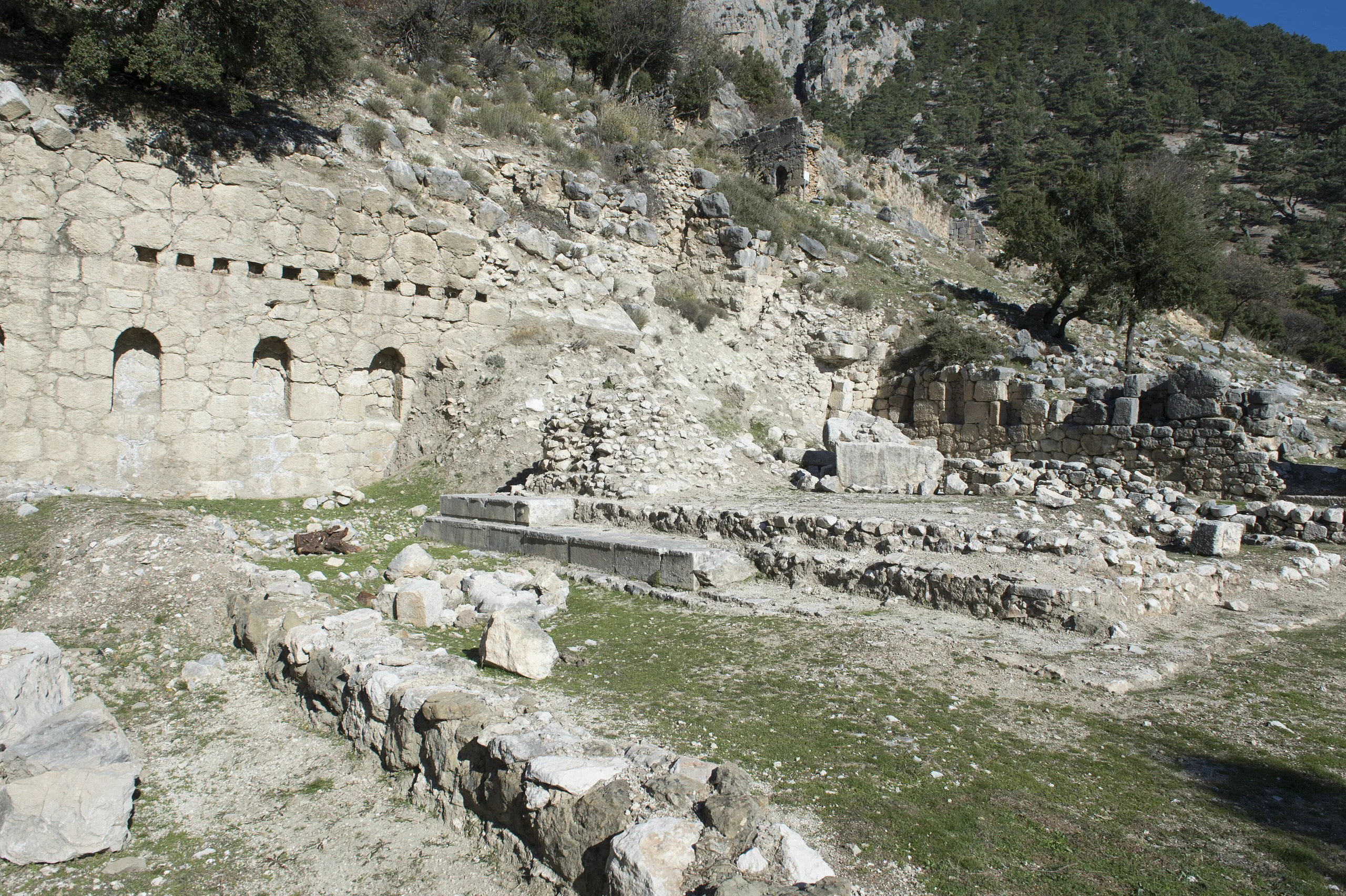
Many monumental tombs of the Eastern Necropolis still stand. All date from the 2nd century CE and serve as terraces for one another. On the terrace below them a bath survives up to roof level. The earliest architecture of all is rock tombs of the late 4th and early 3rd century BCE. The largest religious building is the basilica at Nal Tepe, a long church plan, dated to the early 4th century; since Christianity gained legal status in 313, it ranks among the earliest buildings of the faith. A church also stands in the eastern necropolis. There was no city wall, and terrace walls did that job to some degree.
Water system
Water was the city's cleverest solution. Where the Aykırıçay leaves its gorge, channels carved into steep rock on four levels form the main line of supply, and channels under the principal streets carried it to every quarter.
Excavations
Cevdet Bayburtluoğlu ran the first systematic digs at Arycanda between 1971 and 2010. Since 2011 the director has been V. Macit Tekinalp of Hacettepe University's Art History Department, with Hacer Sancaktar of Bozok University as deputy. Recent seasons have focused on the acropolis, which contains the cistern, markets, civic halls, Helios temple and houses.
Protection
Arycanda belongs to the Ancient Cities of Lycian Civilization group, which Türkiye placed on the UNESCO Tentative List in 2009. Cities in the group are protected as first-degree archaeological sites under Law No. 2863.
Walking the site
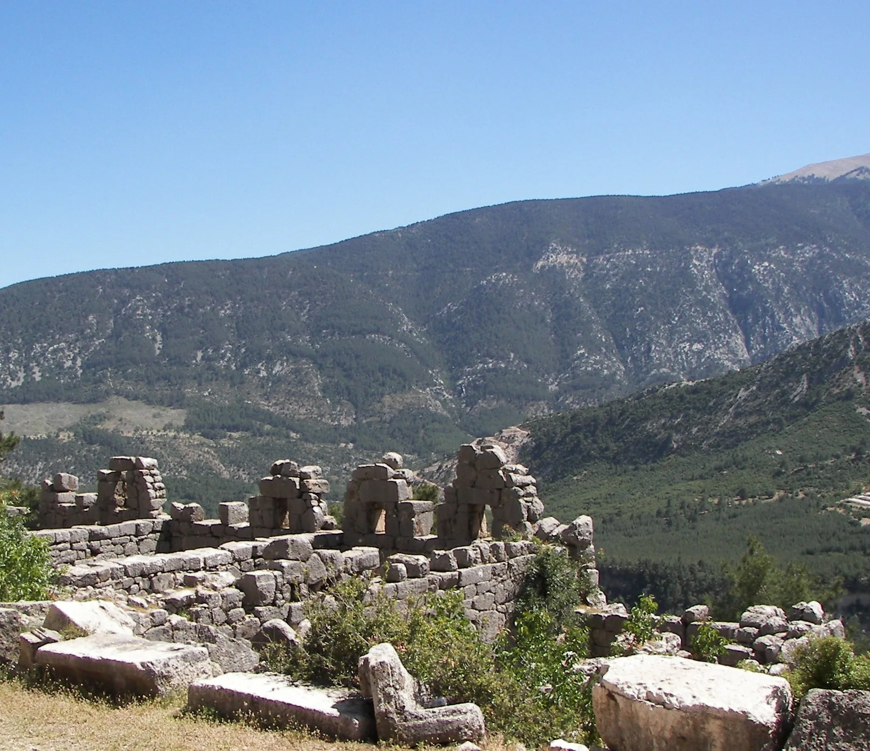
The terraced layout gives wide views across the whole valley as well as ancient buildings. Pine and cedar trees shade the ground, so most of the visit passes without strong sun.
Gallery
Frequently asked questions
Where is Arycanda?
What does Arycanda mean?
When did the city flourish most?
Who rediscovered Arycanda?
What is there to see?
Did the city have walls?
Sources (14)
- Arykanda Örenyeri / Arykanda Archaeological Site (TR ve EN sayfalar) — T.C. Kültür ve Turizm Bakanlığı, Müzeler ve Ören Yerleri
- Arykanda Antik Kenti - Antalya (kaynak: Arykanda Örenyeri, Antalya Müzesi Müdürlüğü) — T.C. Kültür ve Turizm Bakanlığı, Türkiye Kültür Portalı
- Excavation Projects: Arykanda (Head of Excavation V. Macit Tekinalp) — Yozgat Bozok Üniversitesi, Arkeoloji Bölümü
- Ancient Cities of Lycian Civilization (Tentative List ref. 5408) — UNESCO World Heritage Centre
- Arykanda (Pleiades place 638769) — Pleiades
Photo credits
- Photo: Dosseman, CC BY-SA 4.0 — Wikimedia Commons (resized)
- Photo: Getüm, CC BY-SA 2.0 de — Wikimedia Commons (resized)
- Photo: Dosseman, CC BY-SA 4.0 — Wikimedia Commons (resized)
- Photo: Dosseman, CC BY-SA 4.0 — Wikimedia Commons (resized)
- Photo: Dosseman, CC BY-SA 4.0 — Wikimedia Commons (resized)
- Photo: Dosseman, CC BY-SA 4.0 — Wikimedia Commons (resized)
- Photo: Dosseman, CC BY-SA 4.0 — Wikimedia Commons (resized)
- Photo: Dosseman, CC BY-SA 4.0 — Wikimedia Commons (resized)
- Photo: Dosseman, CC BY-SA 4.0 — Wikimedia Commons (resized)