Across the Dalyan river, 167 rock-cut tombs on Balıklar Mountain line up like temple fronts; silt closed Kaunos's harbour and left the city 8 km from the sea.
Kaunos is an ancient city located in Turkey, Mugla. Main periods: Archaic Period, Hellenistic Period, Roman Period, Byzantine Period, Beyliks Period.
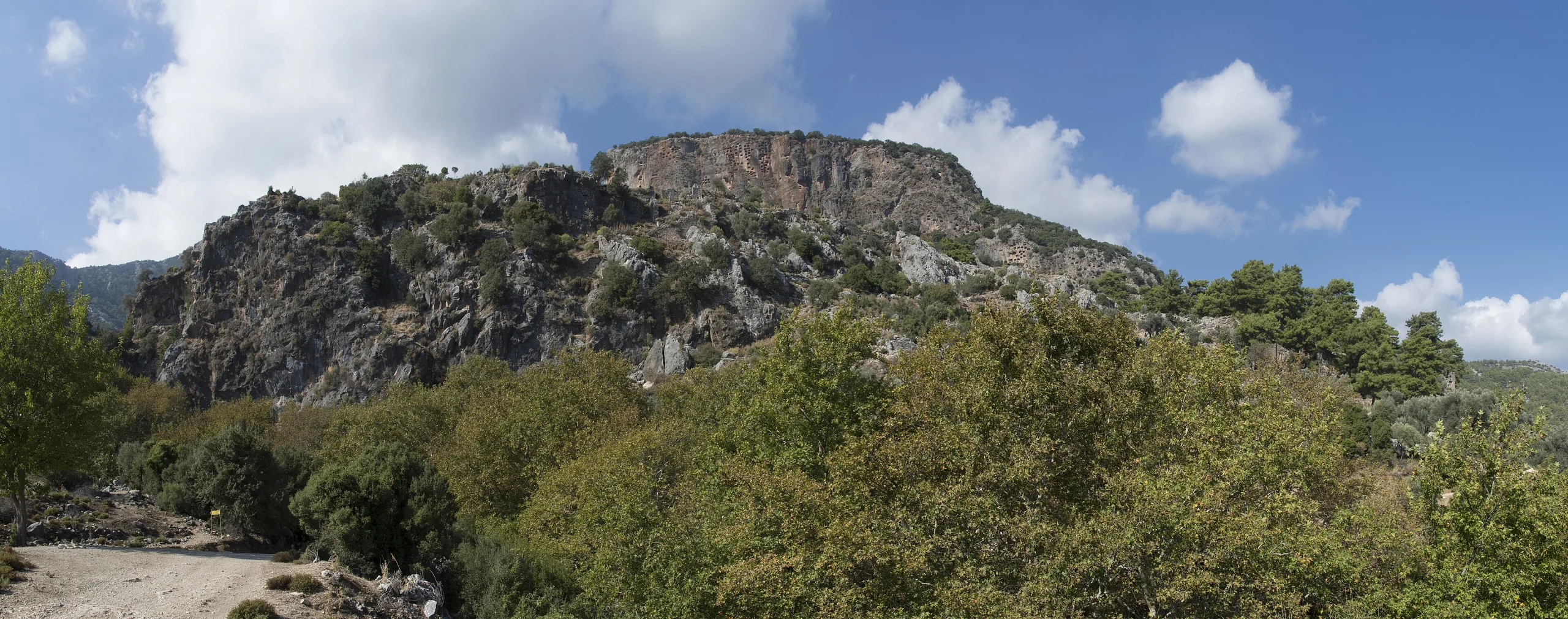
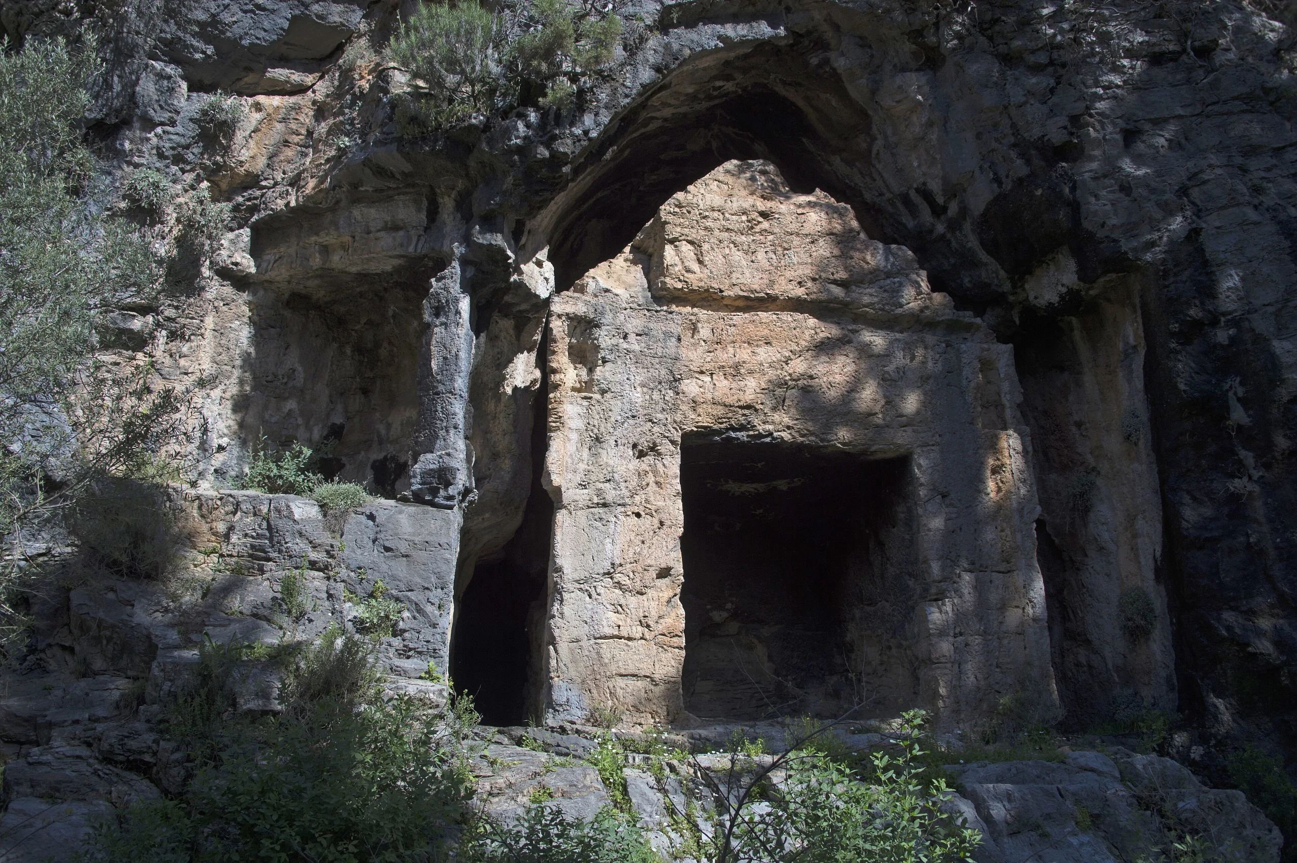
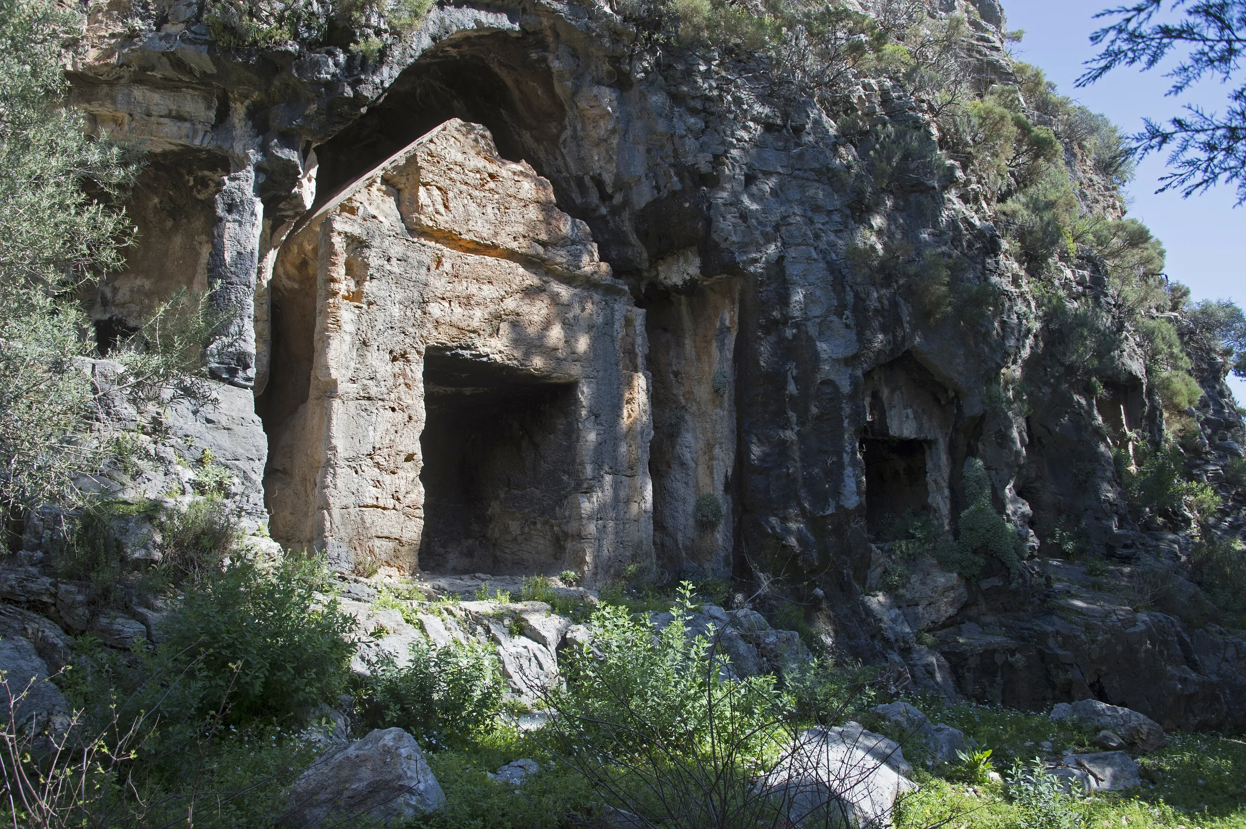
From Dalyan, the tomb fronts cut into the limestone face of Balıklar Mountain look like the porches of temples. There are 167 of them, gathered in seven groups, and all belong to Kaunos on the opposite bank. This Carian port city stands in Köyceğiz district, Muğla, on the far side of the Dalyan river. It once had a busy harbour, but silt from the delta closed it, and the city faded.
Getting there
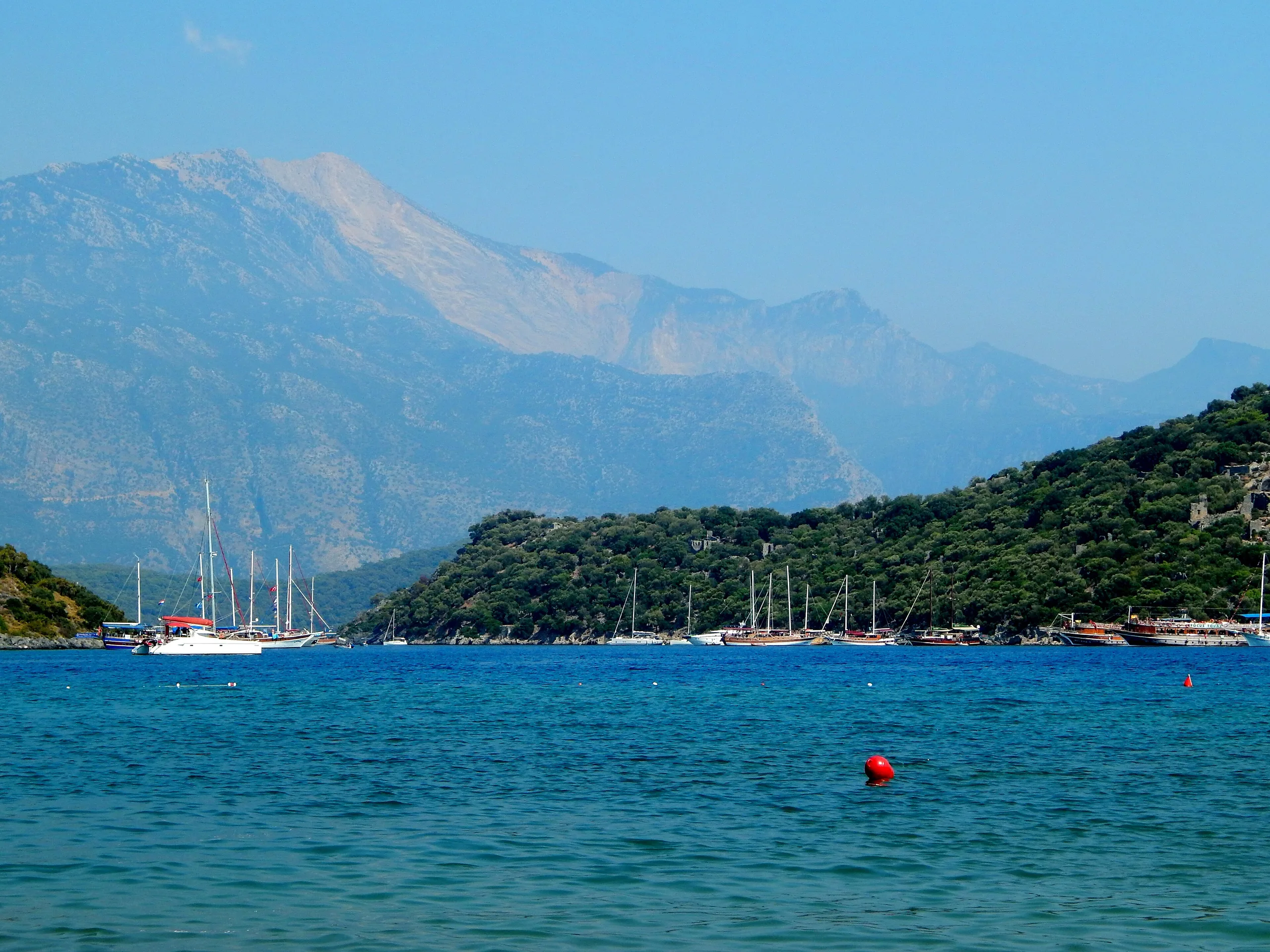
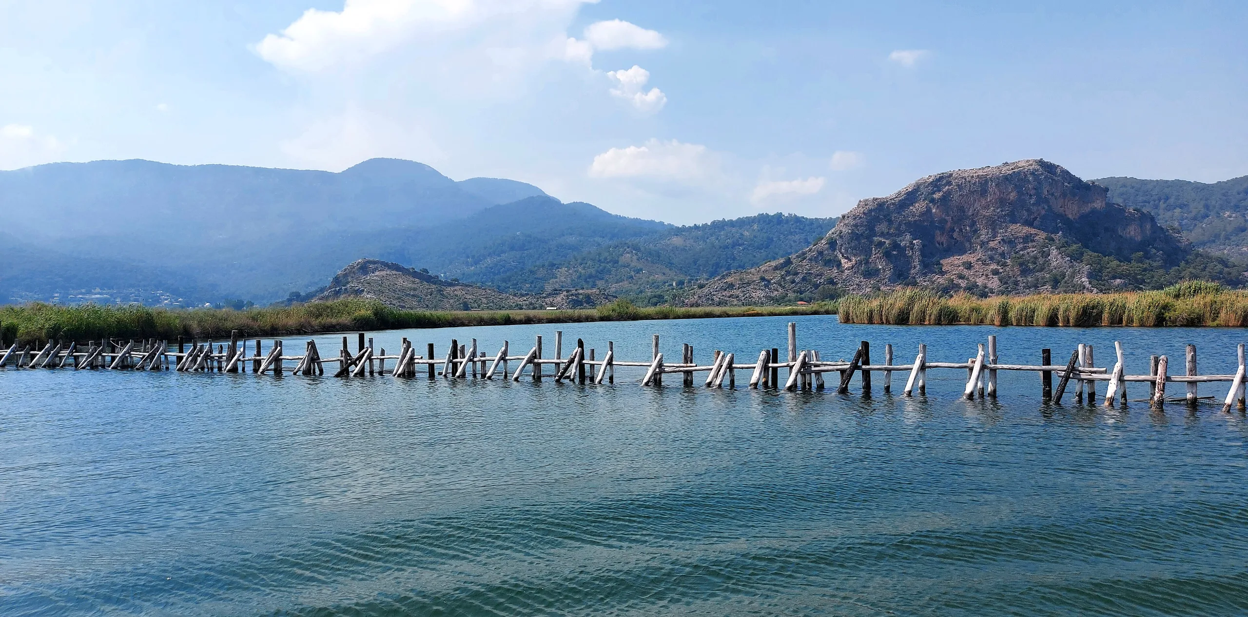
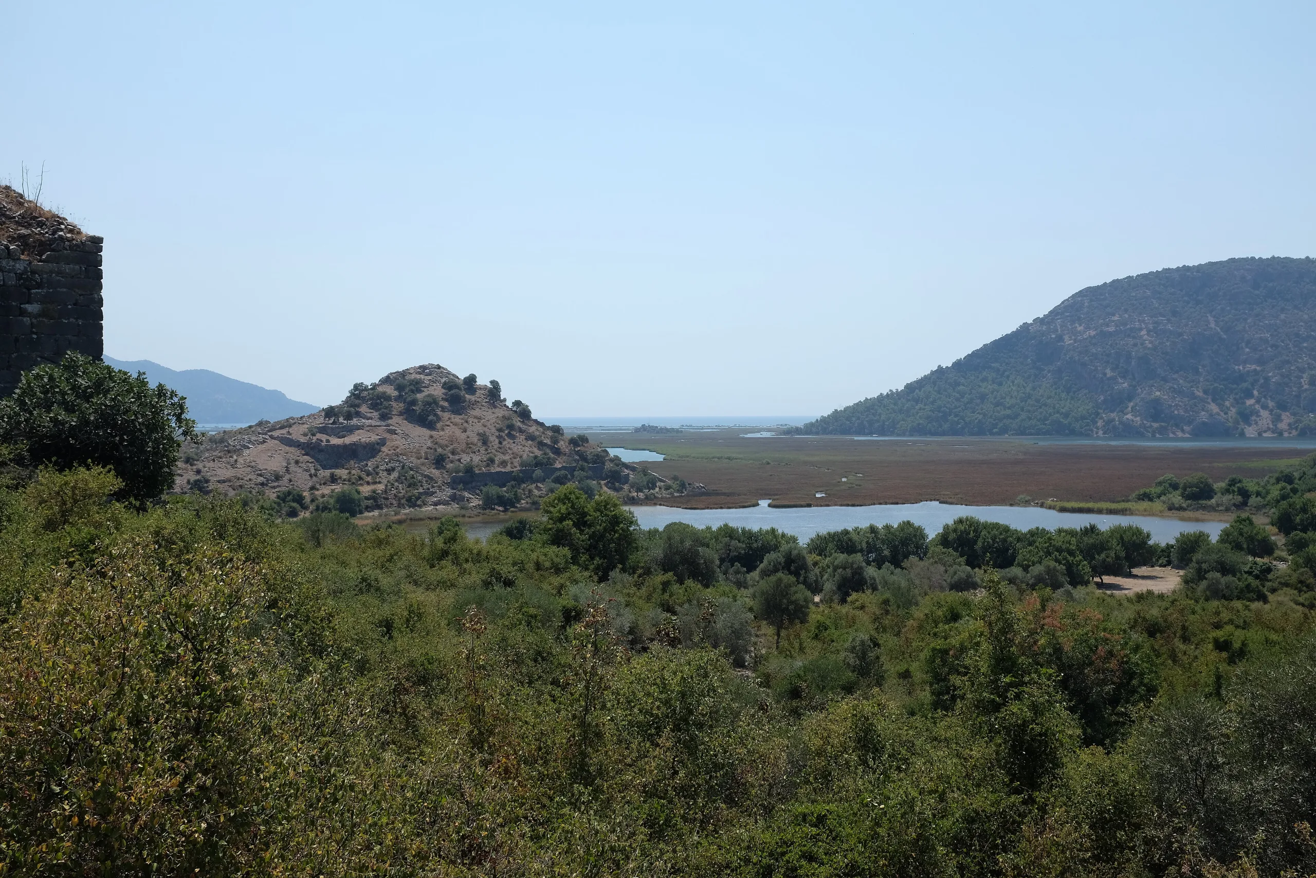
The site lies within Çandır village, on the western side of the Dalyan channel that links Köyceğiz Lake to the sea. You reach it from Dalyan by road or by water. Because the Dalyan Delta filled in and the old bay closed, the city now stands about 8 km from the coast. Check the official page for current visiting terms.
History
The city's local name was Kbid, which appears in the Lycian and Carian texts of the trilingual inscription at Letoon. The first traces of settlement rest on a Proto-Corinthian vessel fragment of the 7th century BCE, though single finds go back further: a neck of a Protogeometric amphora dates to the 9th century BCE or earlier. A founding legend exists too. In Ovid's telling, the twins Kaunos and Byblis were children of Miletos; Byblis fell in love with her brother, and Kaunos fled and founded this city on the Carian-Lycian border. The tale began to be told in late Classical times, Photios reported Byblis's suicide, and Kaunian love, meaning love that ends in grief, stayed a proverb into the Byzantine era.
Persian satraps, Spartans, Alexander's successors (the Diadochi), Ptolemies, Rhodians and Romans all held Kaunos in turn. After the King's Peace of 387 BCE it fell to the Hekatomnid dynasty, and it reached its peak under Maussollos, who ruled from 377 to 353/2 BCE. After the Persian conquest it came first under Maussollos; following Alexander's victory in 334 BCE, it passed to Ada, Antigonos and Ptolemy. Later the kingdoms of Rhodes and Pergamon and finally Rome took control.
In 88 BCE the Kaunians sided with Mithridates and killed the Romans living in the city. The Senate gave the city to Rhodes anyway, but soon after Kaunos was attached to the province of Asia. From late antiquity into the Middle Ages it was a bishopric in the Church province of Lycia. Arab raids in 655 began to reduce its weight; from the 13th century it came under Turkish rule, and in the 15th, under the Menteşe principality, the archaeological settlement ended. A severe malaria epidemic in that century is thought to have hastened abandonment.
Events and people
Besides the heroes of the founding legend, Kaunos and Byblis, the Carian satrap Maussollos and his sister Ada stand out in the political story. The British captain Hoskyn brought the city to scholars' attention in the early 1840s. Baki Öğün of Ankara University opened the excavation in 1966 and ran it until his death in 2001; Cengiz Işık followed until 2020, and since 2021 Öğün's student Ufuk Çörtük has directed it.
Notable structures
Acropolis, walls and harbours
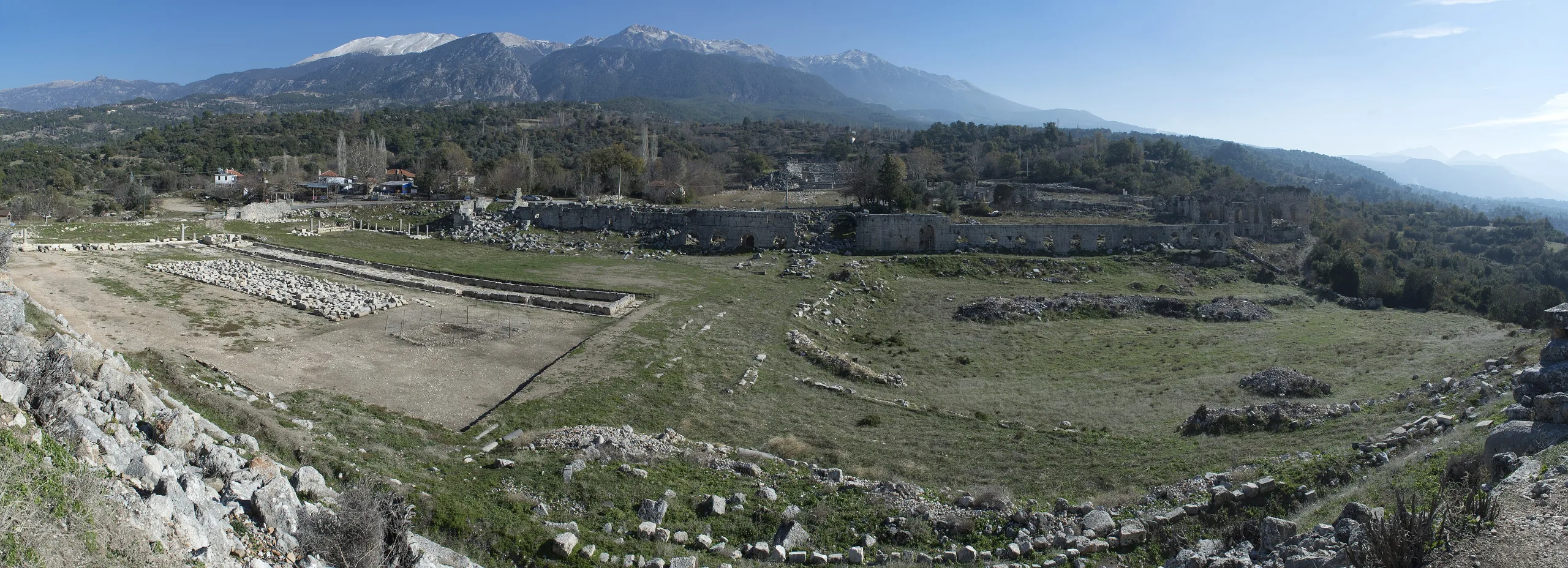
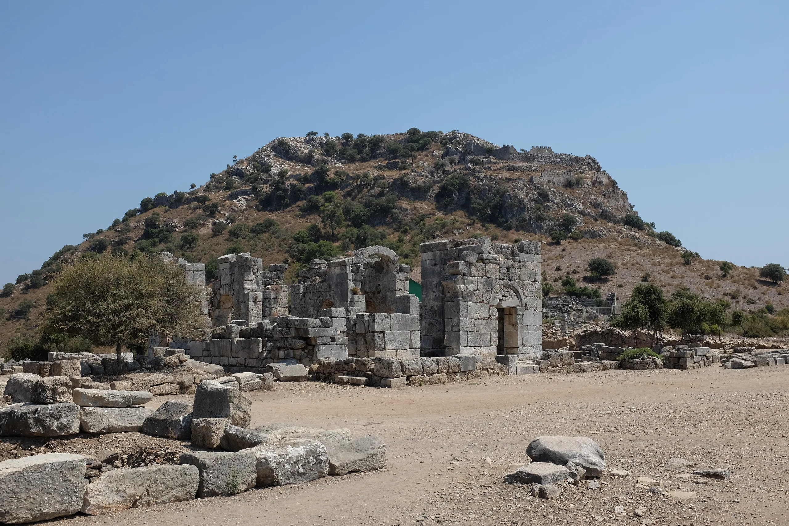
The core of the city is an acropolis on a hill 152 m high. A long wall runs from the north of the harbour to the steep rock beyond Dalyan. Its northern section belongs to Maussollos's time, its north-western walls to the Hellenistic period and the stretch descending to the harbour to the Archaic; the wall on the north is medieval. Laid without mortar and up to 4 m thick in places, these walls look oversized for the city's population. Kaunos had two harbours. The southern one, south-east of the Küçük Kale, served until the end of the Hellenistic age, while the inner harbour, now the lake called Sülüklü Göl, was used until much later. Strabo mentions a closable harbour and shipyards.
Rock tombs
The tombs were cut in the 4th century BCE and reused in Roman times. Those with temple fronts are called the Kaunos type: they resemble temple porches with two Ionic columns, a triangular pediment, a dentil frieze (a band of small blocks set side by side) and palmette acroteria, the ornaments crowning the pediment. Hollows in the rock seen from the quay are described as places where big fires were lit as signals for ships approaching Kaunos.
Theatre, churches and other buildings
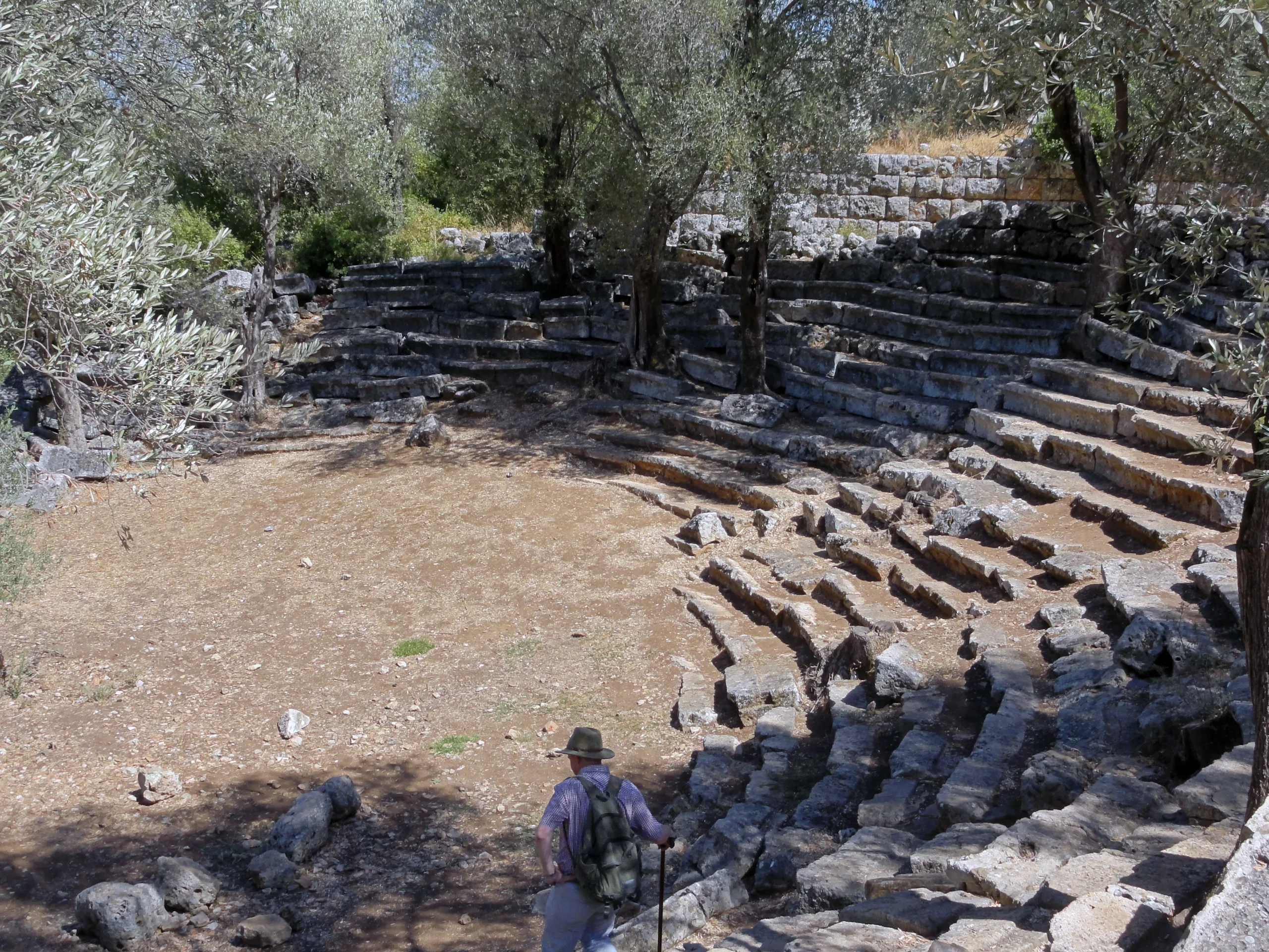
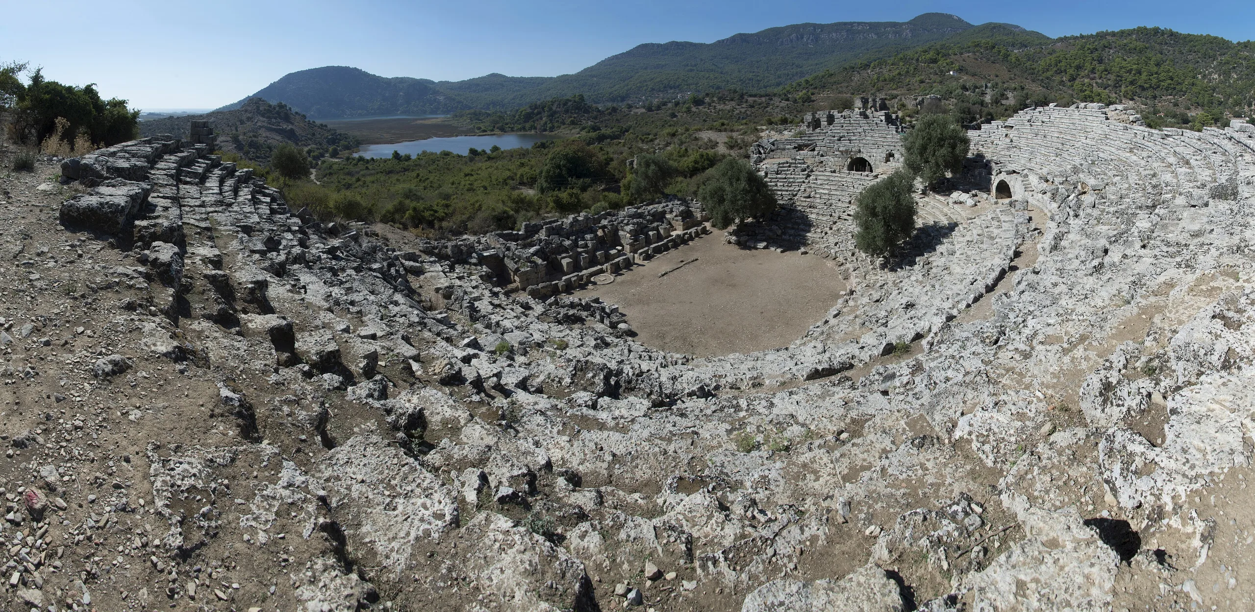
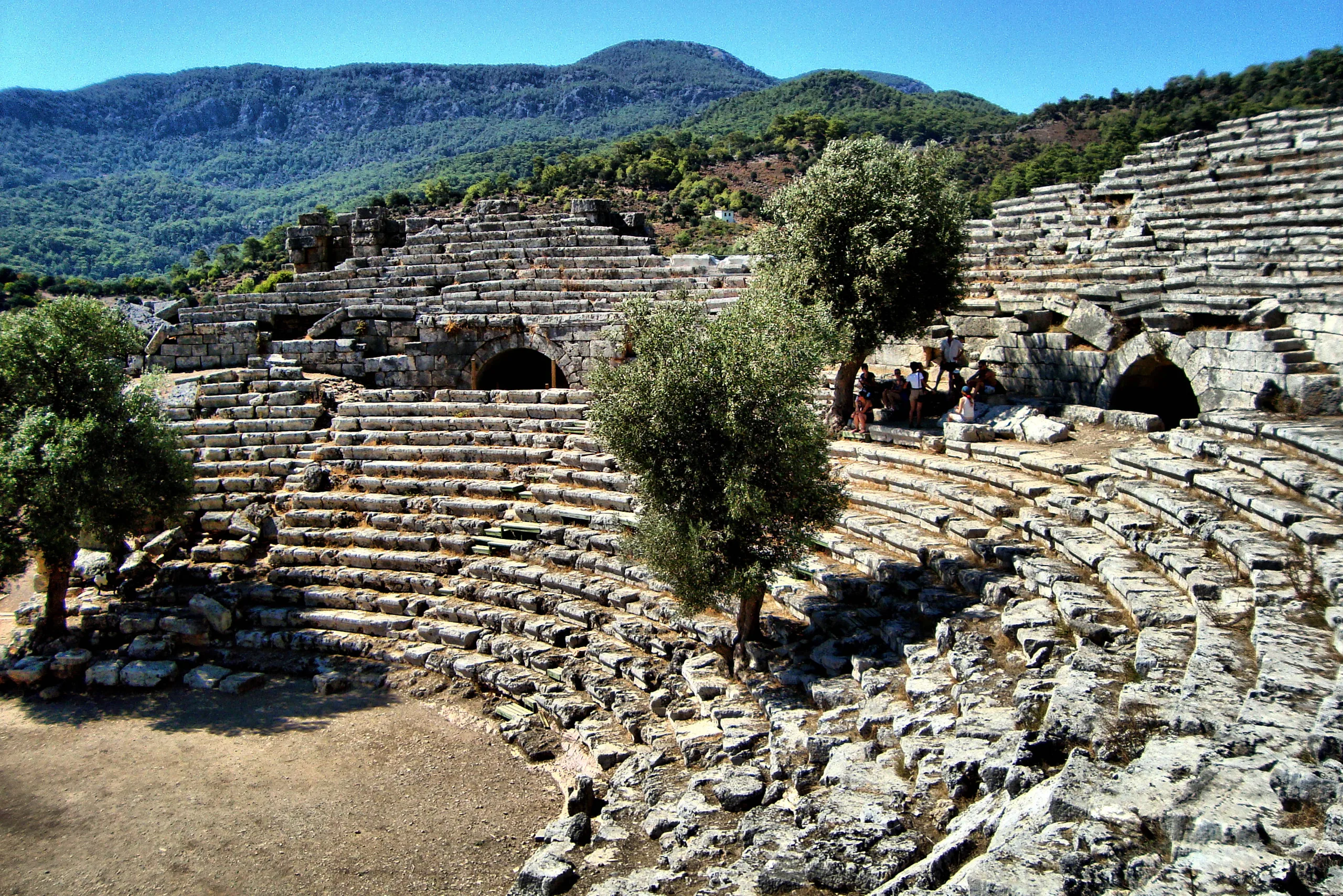
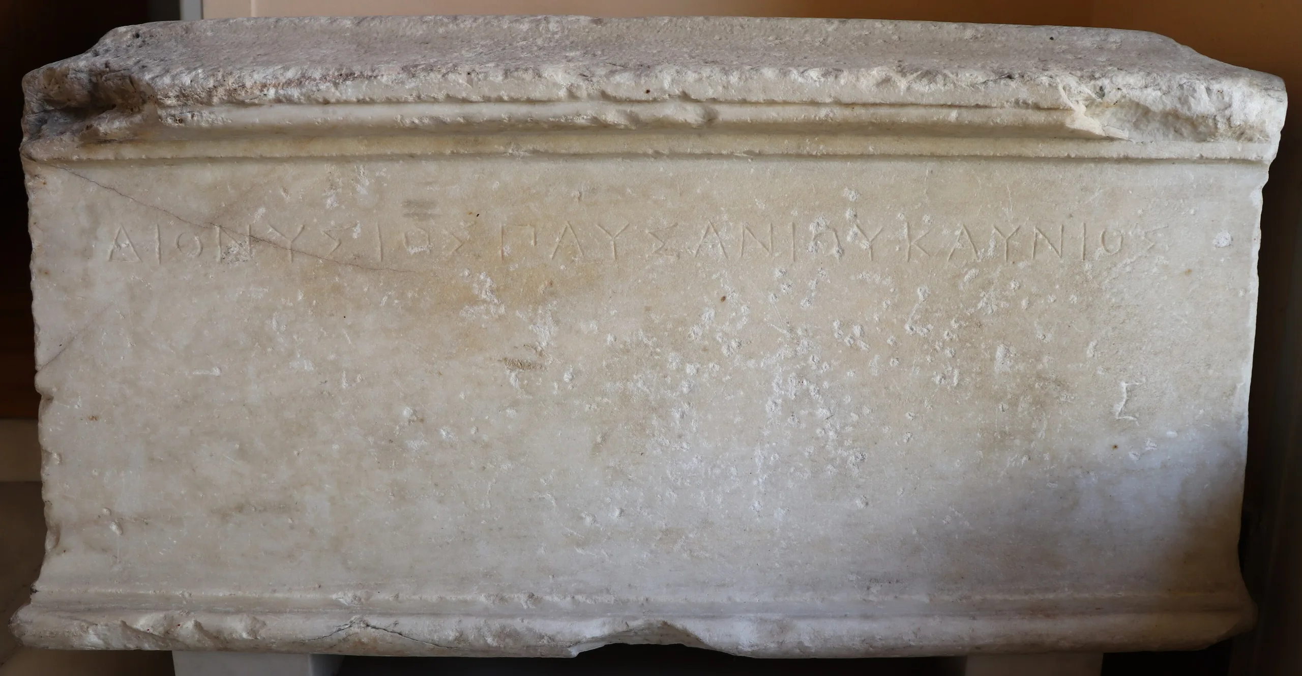
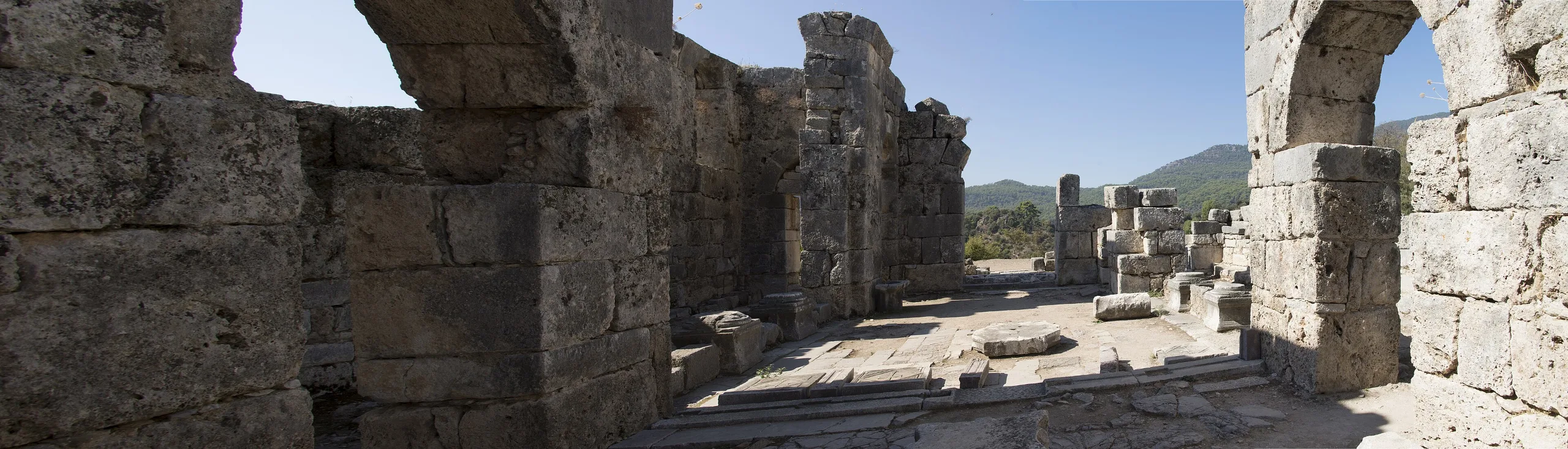
The theatre at the foot of the acropolis has 33 rows of seats. West of it lie a basilica-plan church, a Roman bath and a temple. The theatre produced the only periaktos known anywhere, a device that turned to change the stage scenery. The domed Great Church is the only domed church known in Anatolia. A three-step measuring platform about 13.75 m across is thought to have been used to set the street grid by wind directions. On the anta front of the Fountain House of Hadrian's time (117-138 CE), the face between projecting wall ends, a customs regulation is inscribed. North of Sülüklü Göl the dig exposed a stoa, a long colonnaded hall, and a nearby fountain has been restored.
Excavation
Baki Öğün directed the dig without a break for 35 years, from 1966 until his death in 2001. Cengiz Işık took over until 2020, and Ufuk Çörtük from 2021. Bernhard Schmaltz of Kiel University joined in 1988 and drew the first complete plan of the city; wall studies and work on the Palaestra Terrace ran from 1991 to 2006. Christian Marek of Zurich University has handled inscriptions since 1991 and published the Kaunos texts in 2006. Results were gathered in a book in 2002 covering 1966-2001 and in a second one in 2022 for 1966-2021.
Finds
Coins of the first half of the 5th century BCE show a winged figure on the front and pyramid-shaped monoliths on the back. The Sal Caunitis saltworks, excavated on Iztuzu beach, documents ancient salt production. Also notable are the Aphrodite Euploia building, with a sacred chamber in its rear wall, the sanctuary of Demeter, and the votive exedra, a semicircular seating structure, of the famous painter Protogenes. Its inscription shows that Protogenes came from Kaunos, not Rhodes.
Protection
Kaunos has been on the UNESCO Tentative List since Türkiye's application of 15 April 2014. The area was registered as an archaeological site in 1978 and is protected under Law No. 2863; the rock tombs have begun to erode from geological and climatic effects.
Gallery
Frequently asked questions
Where is Kaunos?
How do you get to Kaunos?
What is Kaunos known for?
What does Kbid mean?
Why is Kaunos so far from the sea?
Is Kaunos a UNESCO World Heritage Site?
Sources (14)
- Kaunos Örenyeri / Kaunos Archaeological Site (TR ve EN sayfalar) — T.C. Kültür ve Turizm Bakanlığı, Müzeler ve Ören Yerleri
- Kaunos Antik Kenti - Muğla (kaynak: Muğla İl Kültür ve Turizm Müdürlüğü) — T.C. Kültür ve Turizm Bakanlığı, Türkiye Kültür Portalı
- Ancient City of Kaunos (Tentative List ref. 5906) — UNESCO World Heritage Centre
- Kaunos Antik Kenti Araştırma Tarihçesi (Çörtük, U.), Bitig Edebiyat Fakültesi Dergisi 2/4, 2022 — Bitig Edebiyat Fakültesi Dergisi (Muğla Sıtkı Koçman Üniversitesi)
- Caunus (Pleiades place 638796) — Pleiades
Photo credits
- Photo: Dosseman, CC BY-SA 4.0 — Wikimedia Commons (resized)
- Photo: HALUK COMERTEL, CC BY 3.0 — Wikimedia Commons (resized)
- Photo: AlexanderVanLoon, CC BY-SA 4.0 — Wikimedia Commons (resized)
- Photo: Dosseman, CC BY-SA 4.0 — Wikimedia Commons (resized)
- Photo: Dosseman, CC BY-SA 4.0 — Wikimedia Commons (resized)
- Photo: Reynakiliclar, CC BY-SA 4.0 — Wikimedia Commons (resized)
- Photo: AlexanderVanLoon, CC BY-SA 4.0 — Wikimedia Commons (resized)
- Photo: Furius, CC BY-SA 4.0 — Wikimedia Commons (resized)
- Photo: Dosseman, CC BY-SA 4.0 — Wikimedia Commons (resized)