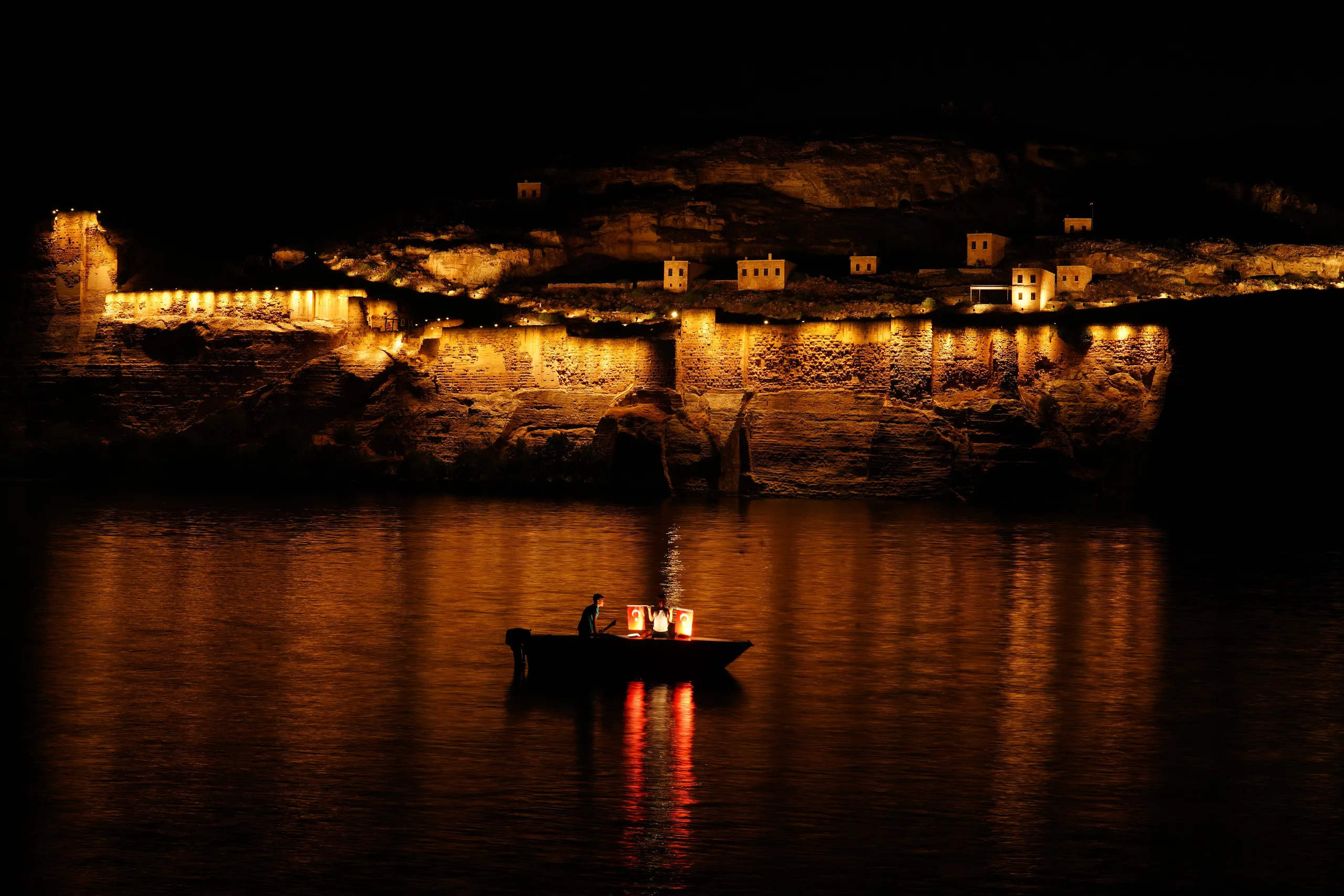
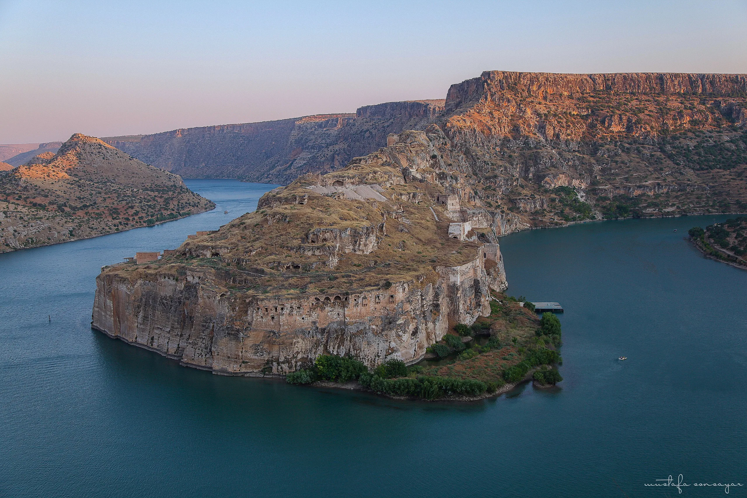
Rumkale, in Gaziantep's Yavuzeli district, is a cliff-top fortress where the Merzimen stream meets the Euphrates, ringed on three sides by a reservoir and once an Armenian Catholicosate seat.
Rumkale is a place (Castle) in Turkey, Gaziantep. Main periods: Hellenistic Period, Roman Period, Byzantine Period, Ottoman Period.
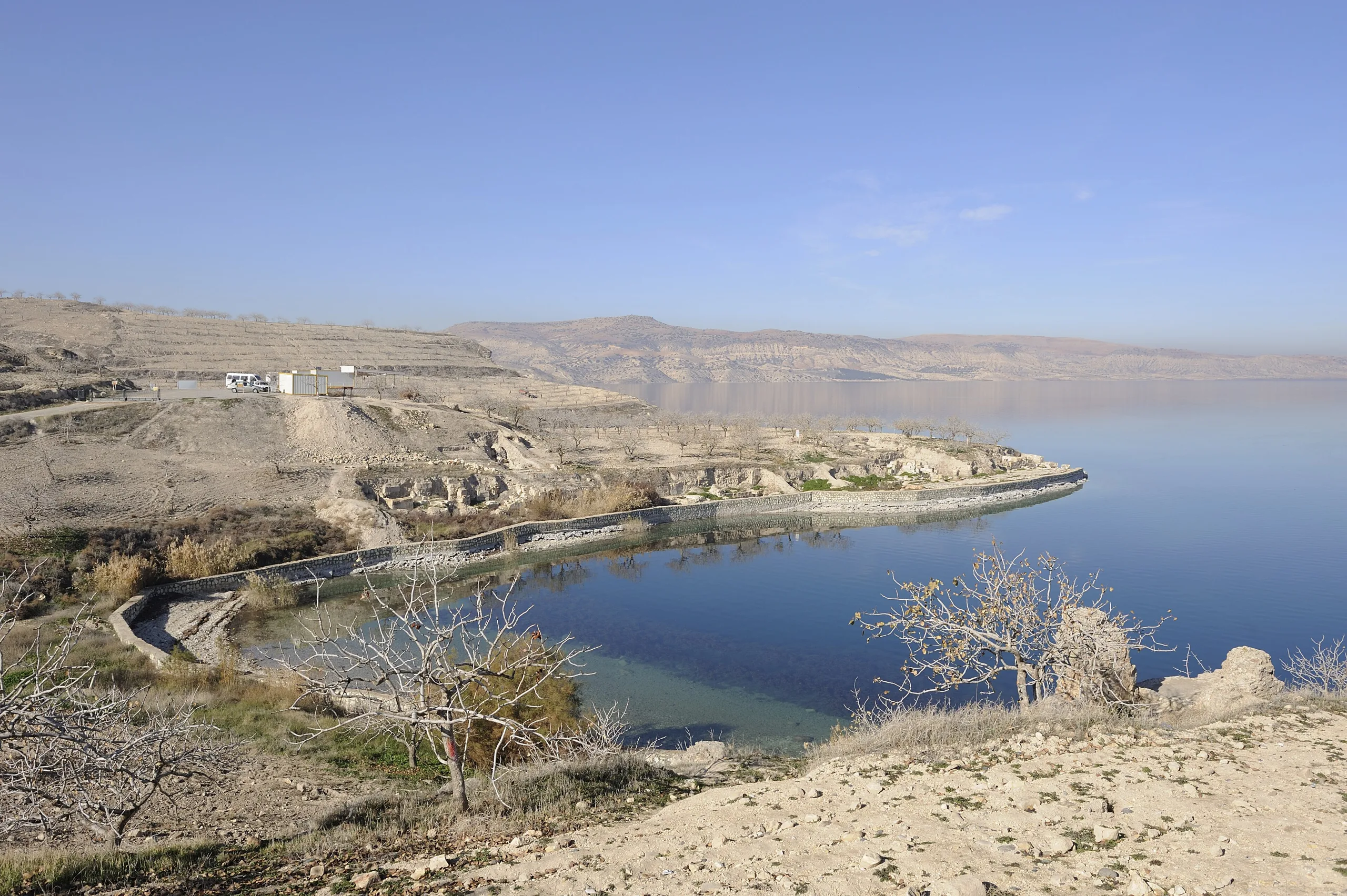
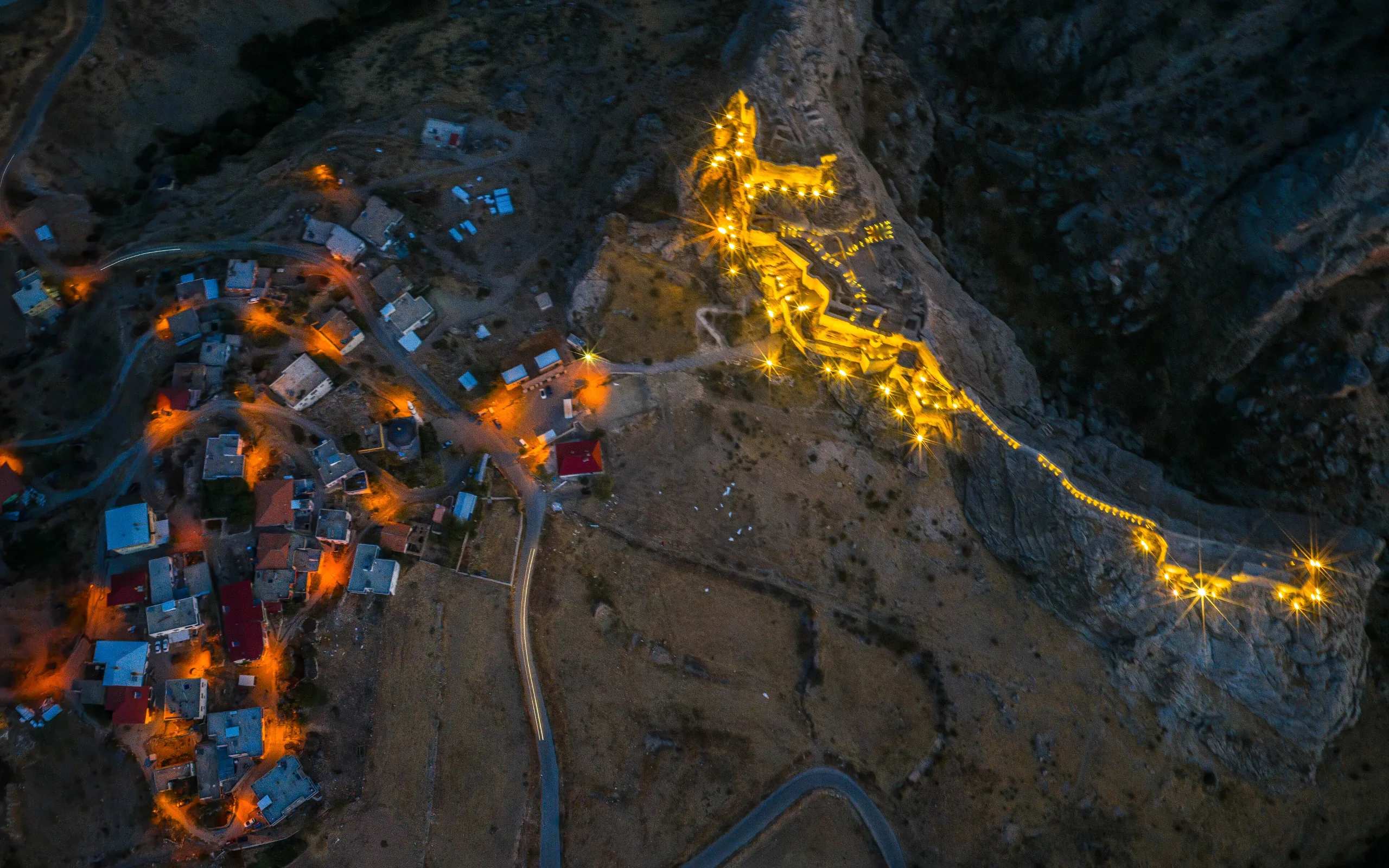
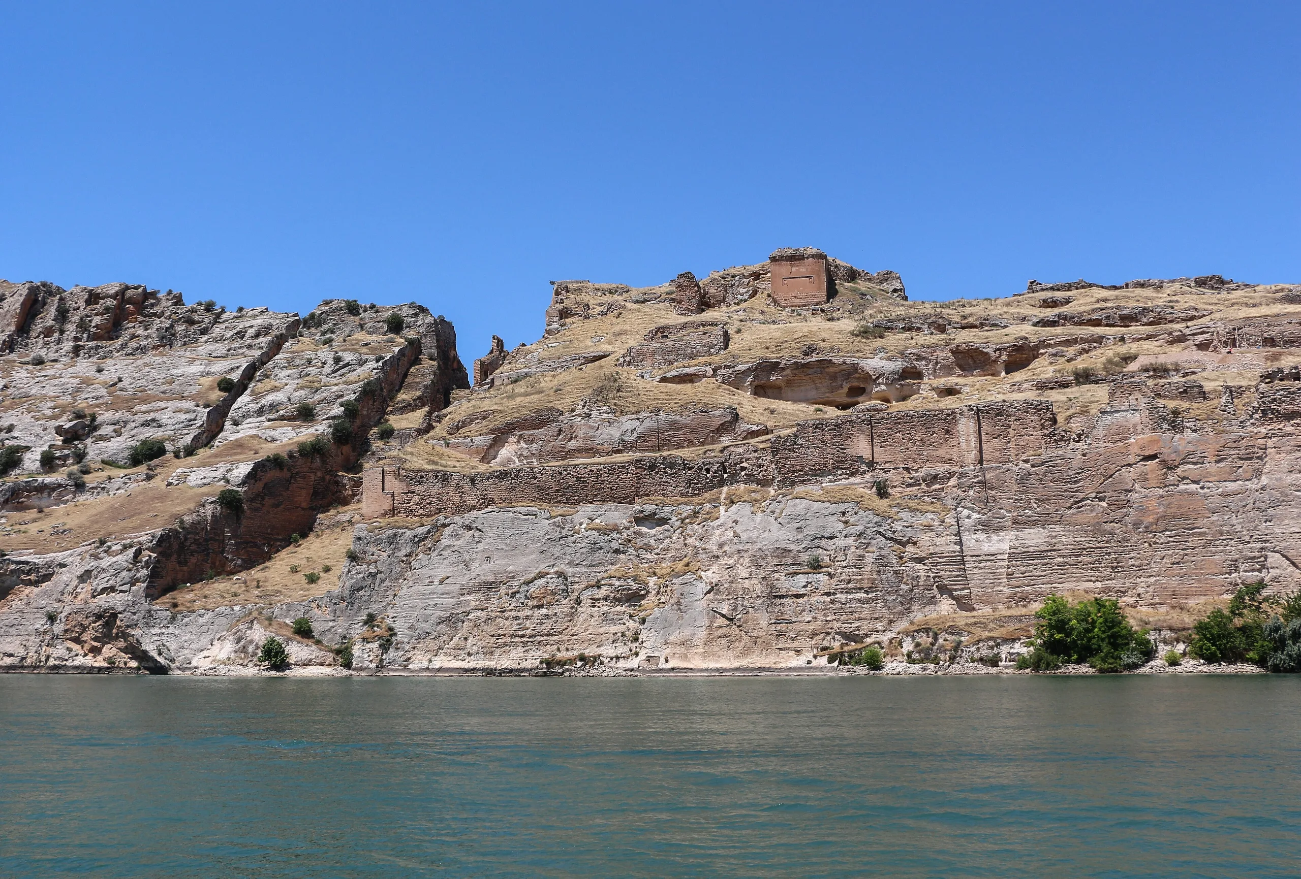
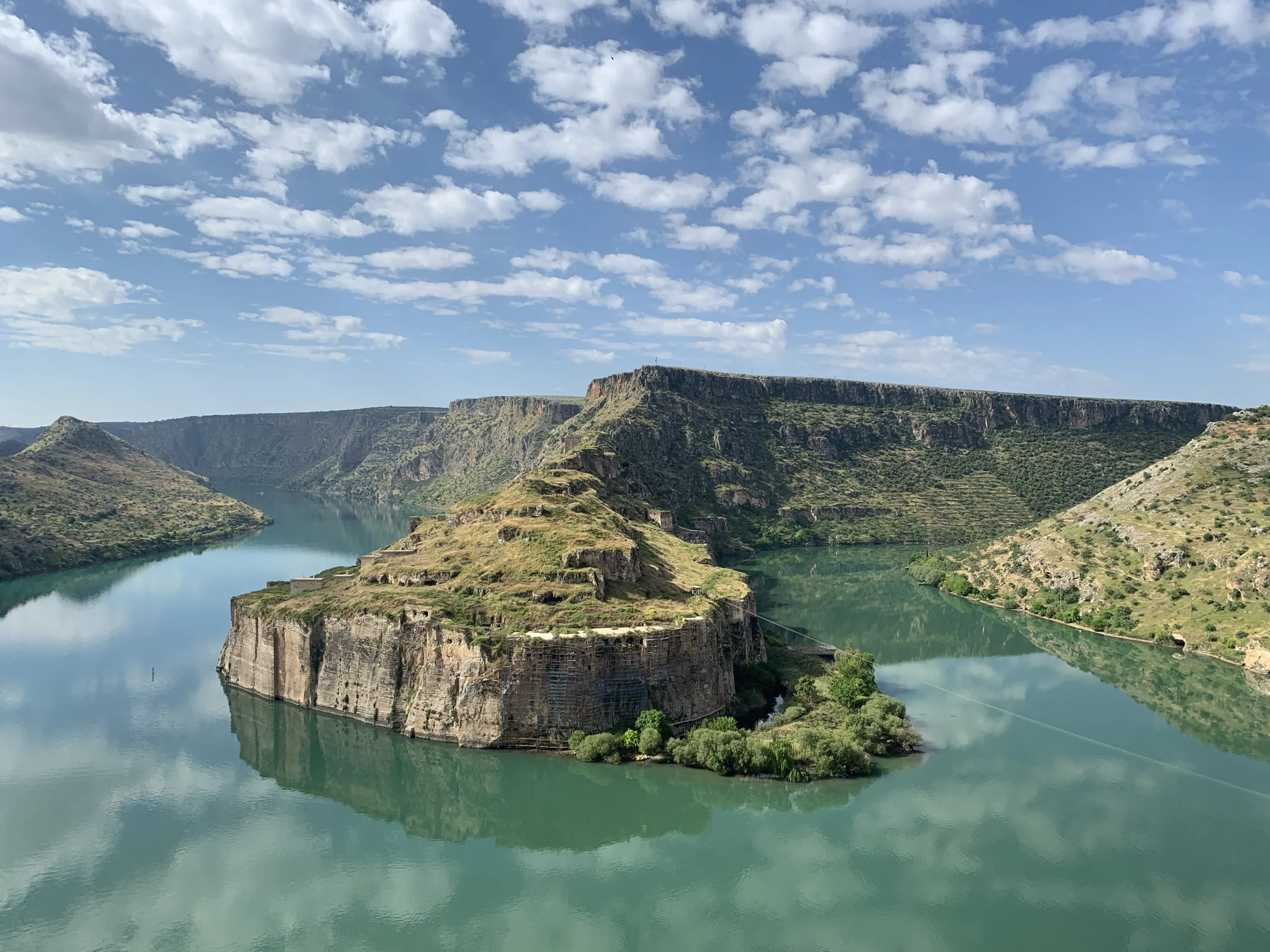
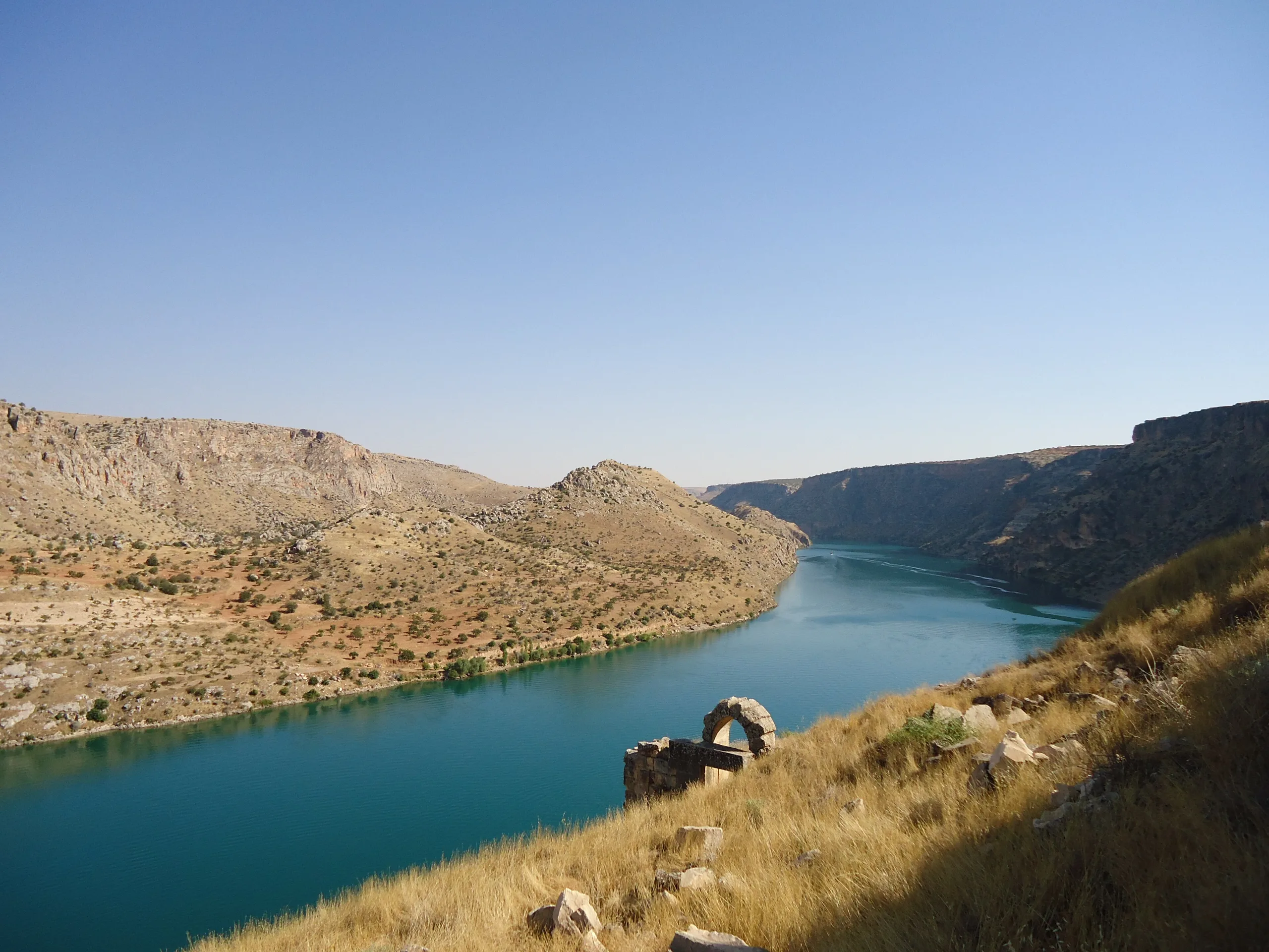
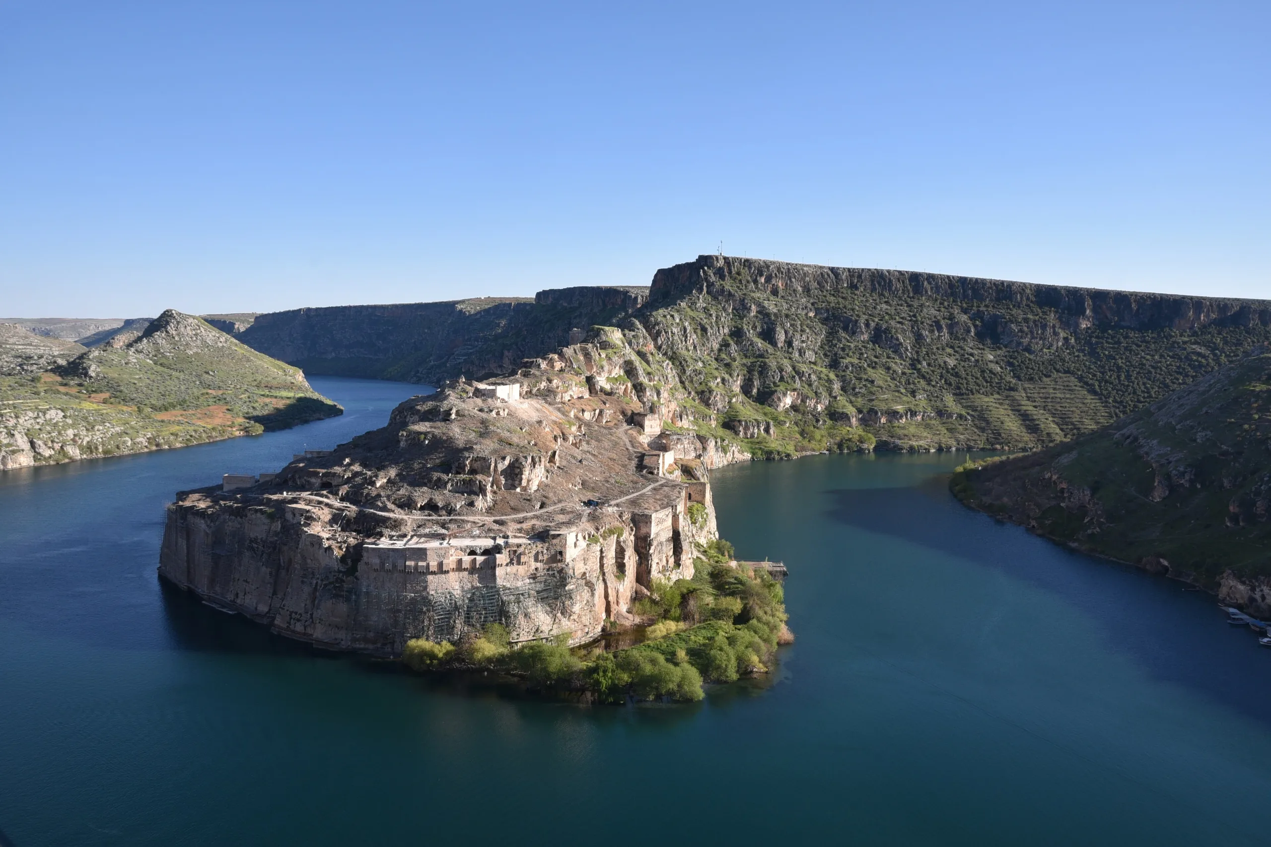
Rumkale is a fortress in the Yavuzeli district of Gaziantep, near Kasaba village. The Ministry and the Gaziantep Provincial Directorate of Culture and Tourism both place it on steep cliffs at the point where the Merzimen stream joins the Euphrates. Reservoir water now surrounds it on three sides, so it looks like a peninsula. The provincial directorate recalls that the castle once stood on the river bank that separated Halfeti, in Şanlıurfa, from Gaziantep, with a lower town at its foot.
Names and access
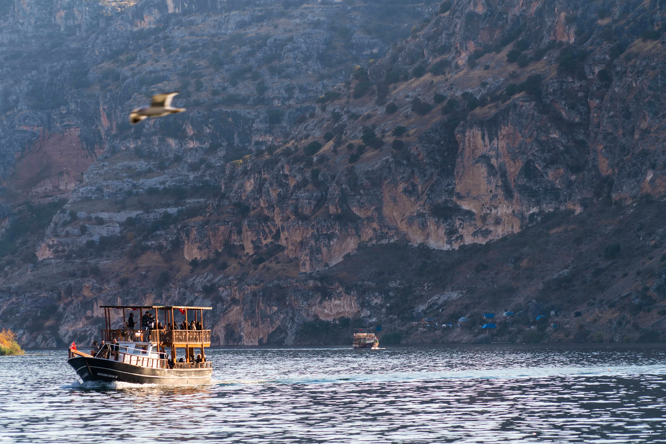
The Ministry lists many names used since antiquity, among them Ranculat, Hromklay, Shitamrat, Kale-i Zerrin (the Golden Castle), Kal-at el Müslimin, Kal-at el Rum and Kal-a Rhomayta. The provincial directorate adds plain Rumkale. Boats from Kasaba village or from Halfeti reach the castle; check the official page for current conditions.
History
The provincial directorate reports that flint tools found along the Euphrates show people lived in the area from the Palaeolithic, followed by mounds from the Bronze Age back to the Chalcolithic. The first mention in ancient sources is said to be the settlement of Shitamrat taken by the Assyrian king Shalmaneser III, which is identified with Rumkale. The same text says the strategic position drew settlement in the Median, Persian, Hellenistic and Roman periods. A tradition, and no more, holds that the apostle John lived there in Roman times and copied gospels in a rock-cut chamber.
Medieval Rumkale gained weight from the eleventh century as Hromgla, and here the sources differ. The provincial directorate says Grigoris III bought the castle in 1113 from the widow of Joscelin and moved the Catholicosate there. The academic article instead recounts that Armenians took the castle after the Battle of Manzikert, that it then belonged to the Crusader county of Edessa, and that it returned to Armenian hands in 1148 and became the Catholicosate seat. The article adds that Syriac Christians also settled and had a patriarch there, and that during the Mongol invasion the Armenians of Rumkale submitted to the Mongols and with them raided Birecik and Aleppo. The directorate notes that in the thirteenth century the Jacobite patriarch Ignatius II built a church inside.
The Mamluk conquest
A Mamluk army besieged the castle in 1279 without success; the article says the outer fortress fell but the inner one did not. Sultan Ashraf Khalil returned in 1292, and after a struggle that the article puts at 33 days the castle was taken. The Cilician Armenian and Mongol forces sent to help turned back without fighting. According to the article, the Armenians inside were taken to Syria and Egypt, the Catholicos was carried to Syria and released later, the walls were repaired, and the place became an administrative unit under Aleppo. With its fall, no Armenian-held ground remained in Anatolia outside Cilicia. The directorate adds that after repairs the castle was renamed Kal-at el Müslimin, later called Kale-i Zerrin, and served the Mamluks as a frontier fort without regaining its earlier splendour.
Ottoman period
The Ministry and the directorate agree that the Ottomans took the castle in 1516. The directorate says it then became a district within the Birecik sanjak of Aleppo province, and that in the seventeenth century Evliya Çelebi described a solid hilltop fortress with a mosque, inn, bath and small bazaar outside.
Architecture
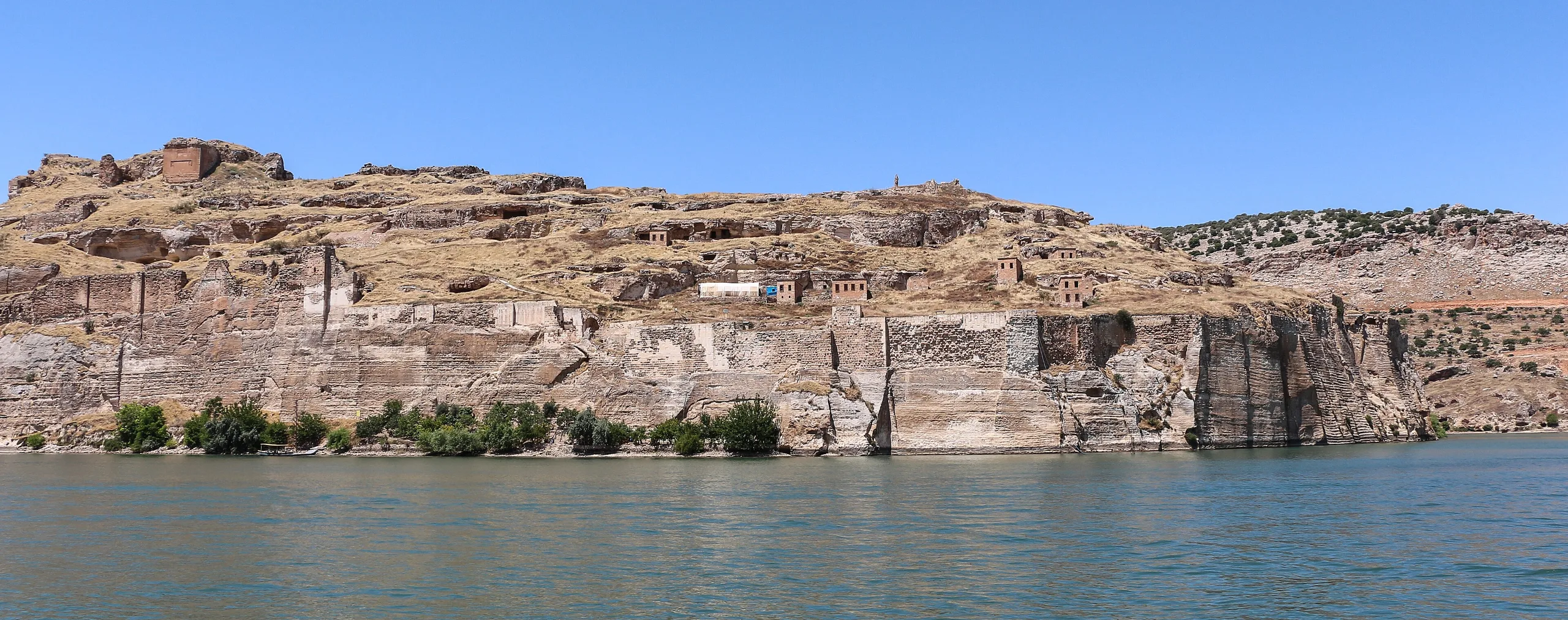
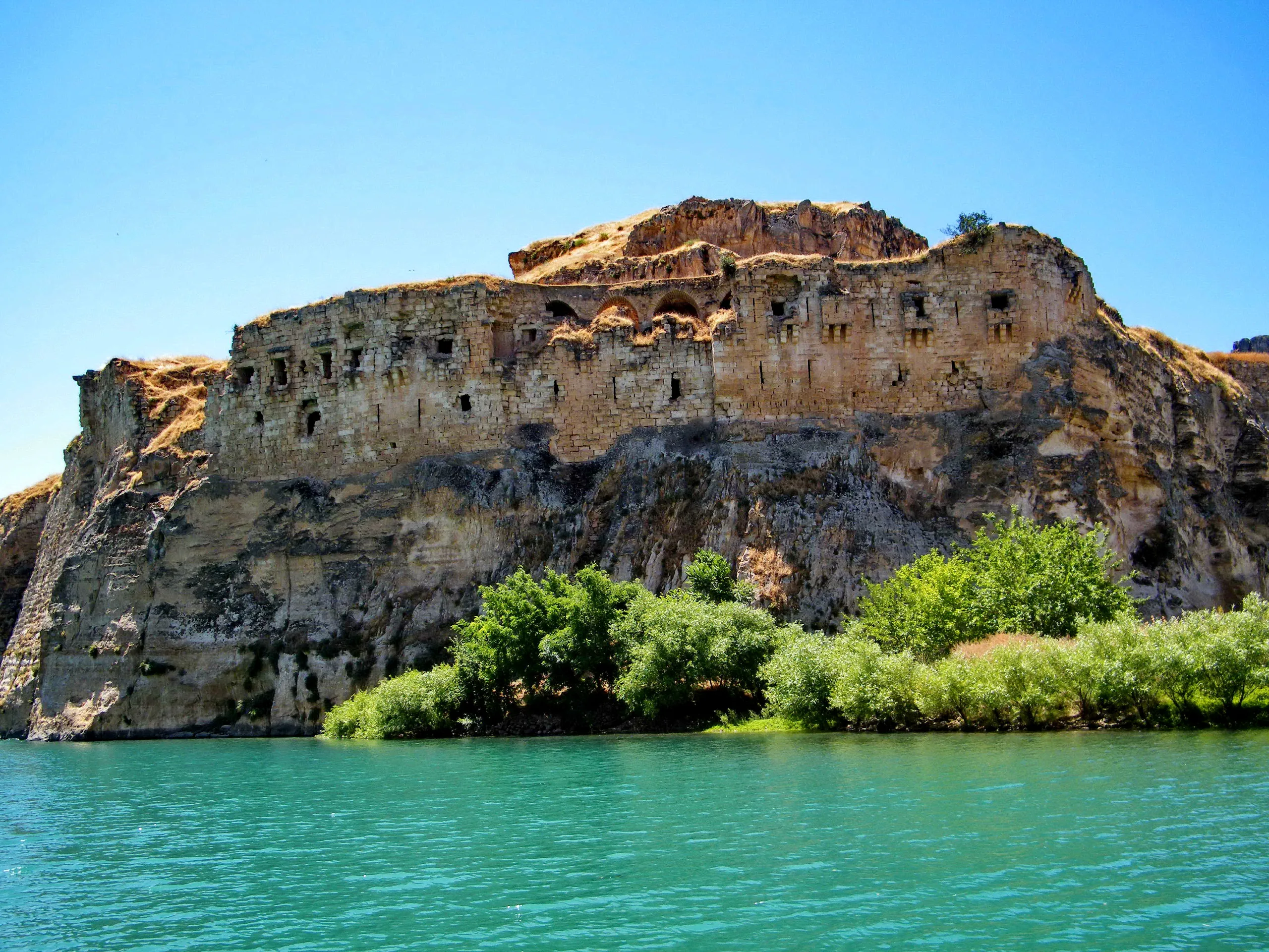
The castle has two layers. On the east, north and west the rock was cut vertically to make a natural wall, and a second wall of hard limestone blocks was built on top. The north and east walls have seven rectangular towers, and the north has many loopholes. The rock ridge to the south was cut in the twelfth century into a moat, which the directorate gives as 30 metres deep and 20 metres wide, severing the castle from the mainland. The enclosure measures about 120 metres by 200 metres. The structures standing above ground belong to the twelfth to fourteenth centuries, and the moat is named as the oldest of them.
There were two main gates, east and west, and the western approach has four tower-like gates spaced about twenty metres apart. Besides walls and towers, the surviving remains include the Church of St Nerses, the Barşavma Monastery, cisterns, a well and many ruins of unknown purpose. The well, made to draw Euphrates water, is 8 metres wide and about 75 metres deep, with a spiral stair cut into the rock of its cylindrical wall; one tradition calls it a secret passage.
St Nerses Church and Barşavma Monastery
The directorate says the church south of the citadel, the seat of authority, was built in 1173 by Nerses the Poet. It is rectangular, east-west, with three aisles and three apses and a narthex on the west, and it is recorded as having served as a mosque in the Islamic period. The Barşavma Monastery, in the north, was built in the thirteenth century by the Jacobite saint Barşavma for himself; parts of two adjoining buildings stand, and the square section has cross vaults.
Gallery
Frequently asked questions
Where is Rumkale?
How do visitors reach it?
When did the Ottomans take the castle?
When did the Mamluks capture it?
What can be seen inside?
Do the sources agree on the Catholicosate?
Sources (13)
- Rumkale Örenyeri / Rumkale Archaeological Site (TR ve EN sayfalar) — T.C. Kültür ve Turizm Bakanlığı, Müzeler ve Ören Yerleri
- Rumkale — T.C. Gaziantep İl Kültür ve Turizm Müdürlüğü
- Memlûk Sultanı Eşref Halil b. Kalavun'un Rumkale'yi Fethi (1292) — Mediterranean Journal of Humanities (DergiPark), İlyas Gökhan, XIV (2024) 263-281
- Rumkale (Wikidata Q1477613, P625 koordinat) — Wikidata
Photo credits
- Photo: Ibosimsek02, CC BY-SA 4.0 — Wikimedia Commons (resized)
- Photo: Mustafa Sonsayar, CC BY-SA 4.0 — Wikimedia Commons (resized)
- Photo: Bernard Gagnon, CC BY-SA 3.0 — Wikimedia Commons (resized)
- Photo: Bernard Gagnon, CC BY-SA 3.0 — Wikimedia Commons (resized)
- Photo: Liselottediehl, CC BY-SA 4.0 — Wikimedia Commons (resized)
- Photo: Beytullah eles, CC BY-SA 4.0 — Wikimedia Commons (resized)
- Photo: Procopius, CC BY-SA 3.0 — Wikimedia Commons (resized)
- Photo: Carole Raddato from Frankfurt, Germany, CC BY-SA 2.0 — Wikimedia Commons (resized)
- Photo: Volker Höhfeld, CC BY-SA 4.0 — Wikimedia Commons (resized)