Çukuriçi Mound near Ephesus is a prehistoric settlement tell reaching back to the 7th millennium BC, and one of the three components of the Ephesus World Heritage property.
Çukuriçi Mound is a place (Mound settlement) in Turkey, Izmir. Main periods: Neolithic Period, Chalcolithic Period, Bronze Age. It was inscribed on the UNESCO World Heritage List in 2015.
Çukuriçi Höyük (Çukuriçi Mound) is a settlement tell in Selçuk district, İzmir Province, close to the ancient city of Ephesus. It is the first component of the Ephesus serial property that UNESCO placed on the World Heritage List in 2015. According to the nomination dossier it holds the earliest known settlement in the Ephesus region, with a start no later than 8,200 years back.
Location and access
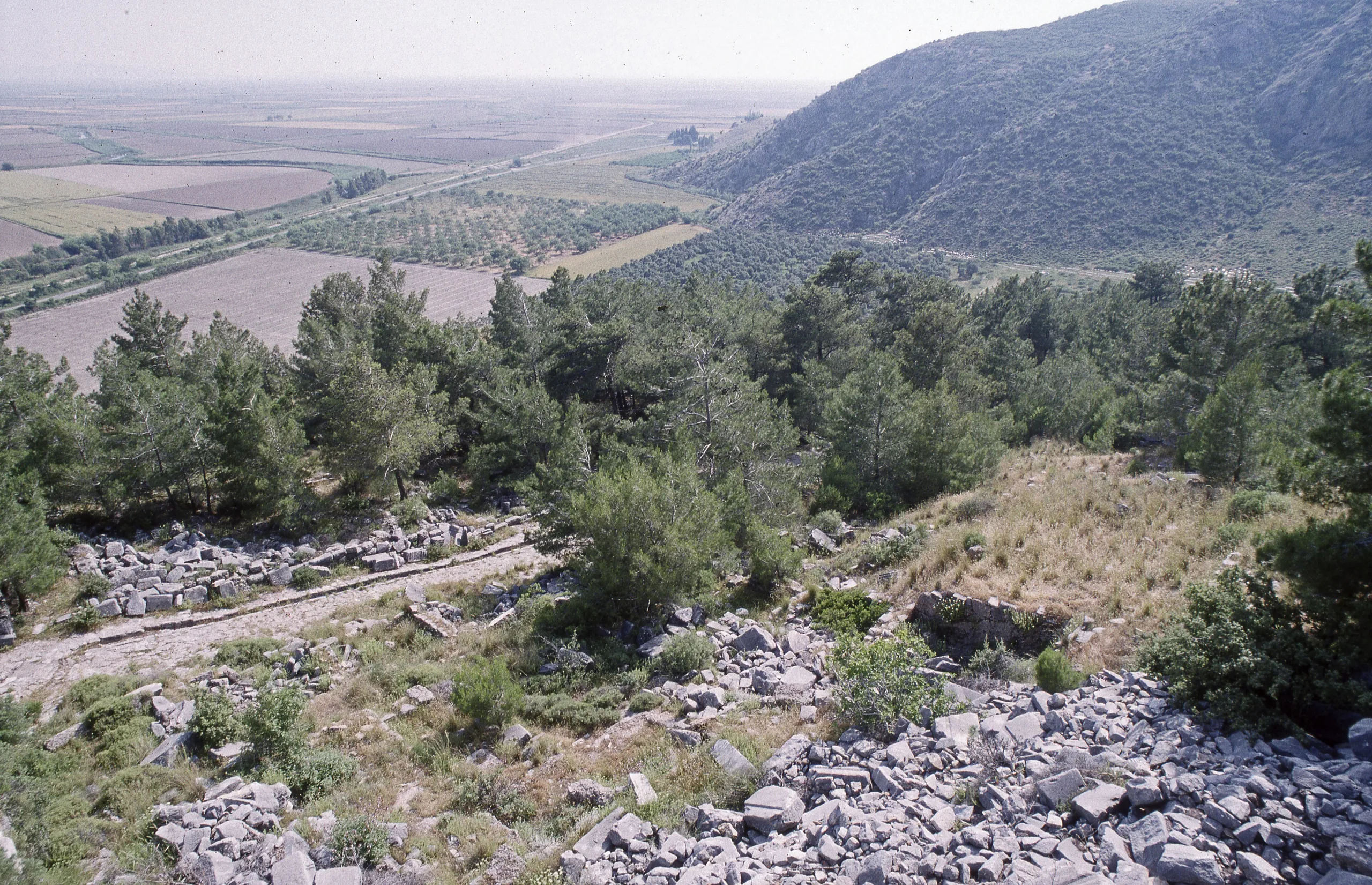
The nomination dossier puts the tell about 200 m south-east of the ancient city of Ephesus, whereas the Pleiades record says roughly 1 km south-east. Today it sits between fertile plains and fruit orchards. ICOMOS noted in its 2015 evaluation that the mound was not yet open to visitors, a situation that may have changed. Because the ministry has no separate page for this place, check the official Ephesus site page and local museum sources for visiting conditions.
History
The nomination dossier reports remains from the 7th millennium BC, that is the late Neolithic or early Chalcolithic. The first inhabitants built houses with stone footings and clay walls and probably settled permanently. Their food came mainly from keeping pigs, sheep, goats and cattle, and the skilled pottery and pounded stone tools were made mostly from obsidian imported from the island of Melos. After destruction this first village was left empty.
People are next securely attested on the mound roughly fifteen centuries afterwards, well into the 4th millennium BC, and the tell then stayed inhabited continuously until around 2500 BC. In the Early Bronze Age people raised single-room and multi-room buildings with heavy stone footings and mud-brick walls, and the community specialised in metalworking, as ovens, raw material, half-finished products and moulds show. The latest village ended in a violent collapse, probably caused by an earthquake, and nobody rebuilt it. The dossier adds that occupation then moved to Ayasuluk Hill; since the mound was not reused, its prehistoric layers stayed almost undisturbed.
Notable finds
Settlement layers
In a project introduction published in 2008, Barbara Horejs reports that the 2007 excavations revealed at least five architectural phases, standing at least 5 m above the surrounding fields. The oldest phase belongs to the Early Chalcolithic (late 7th or early 6th millennium BC), though the text allows that it could be latest Neolithic. Later phases are Late Chalcolithic (4th millennium BC) and Early Bronze Age I-II. The earliest level consists of two parallel mud walls on a stone base, post holes and a stamped clay floor, sealed by a burnt destruction layer. In the south, multi-room houses with stone bases survived; they seem to have collapsed in a violent event, perhaps an earthquake, which left hearths, platforms and many objects from the last phase of use in place.
Tools and metalworking
The abundance of obsidian blades, flakes and cores points to local production of stone tools, while slag and mould fragments suggest local metal production. The team also records spindle whorls, loom weights, bone tools, pieces of jewellery and wall plaster.
Marble idols
The dossier highlights two female marble idols found in 2012, one dated to the 5th millennium BC and the other to the start of the 3rd. They are described as the oldest human-shaped figurines known from western Asia Minor, resembling Anatolian and Cycladic idols in style.
Excavations
The mound was first examined in 1995, when a team from the Ephesus Museum in Selçuk opened two small test trenches. In the following years much of the hill was dug away and levelled for orchards, and this damage ironically made it the focus of the region's first long-term prehistoric research project. A trial dig funded through Austria's archaeological institute was held in 2006, followed by the first systematic season in 2007; work was planned to continue to 2010 under funding from the Austrian Science Fund. The interdisciplinary project led by Horejs also studies coastline change, raw materials, fauna, flora and climate. Per the nomination dossier, the Austrian institute also digs at the ancient city of Ephesus and at the Artemision.
UNESCO and protection
Ephesus was inscribed in 2015 under criteria (iii), (iv) and (vi) (reference 1018); the whole property covers 662.62 ha with a 1,246.3 ha buffer zone. The Çukuriçi component is listed at 1.50 ha with an 83 ha buffer. ICOMOS found that it retains a full settlement chronology from Neolithic to Early Bronze Age, but that fruit farming to the north and east had eaten into almost half of the mound. The dossier also names intensive agriculture and planting as the main threat, and ICOMOS adds that the land is privately owned. Protection decisions are taken by the İzmir regional conservation council.
Frequently asked questions
Where is Çukuriçi Mound?
How old is Çukuriçi Mound?
Is it a World Heritage Site?
What has been found there?
How many layers does the mound have?
Who excavates it?
What threatens the mound?
Sources (5)
- Ephesus — UNESCO World Heritage List 1018 (Çukuriçi Höyük bileşeni) — UNESCO World Heritage Centre
- ICOMOS Advisory Body Evaluation — Ephesus (1018rev) — ICOMOS
- Nomination file — Ephesus (1018rev) — T.C. Devlet Taraf (aday dosyası), UNESCO WHC
- Çukuriçi Höyük. A New Excavation Project in the Eastern Aegean (Barbara Horejs, 2008) — Aegeo-Balkan Prehistory (KREAS projesi, Charles Üniversitesi)
- Çukuriçi Höyük (Pleiades place 135066931) — Pleiades