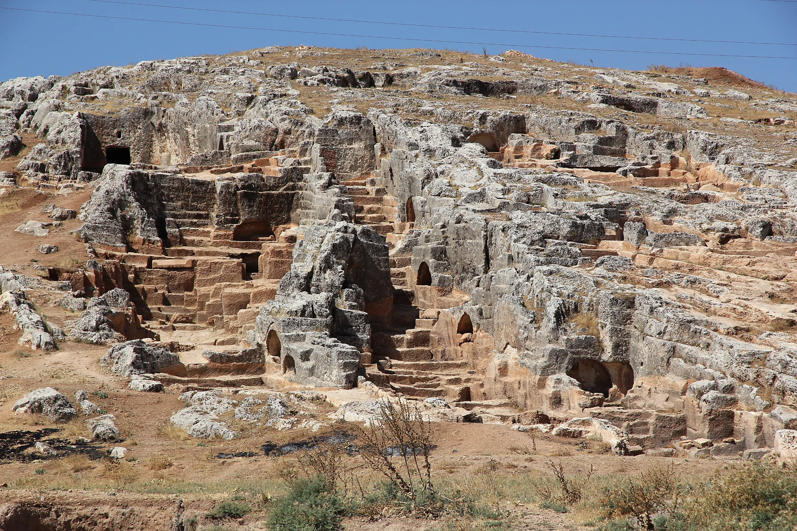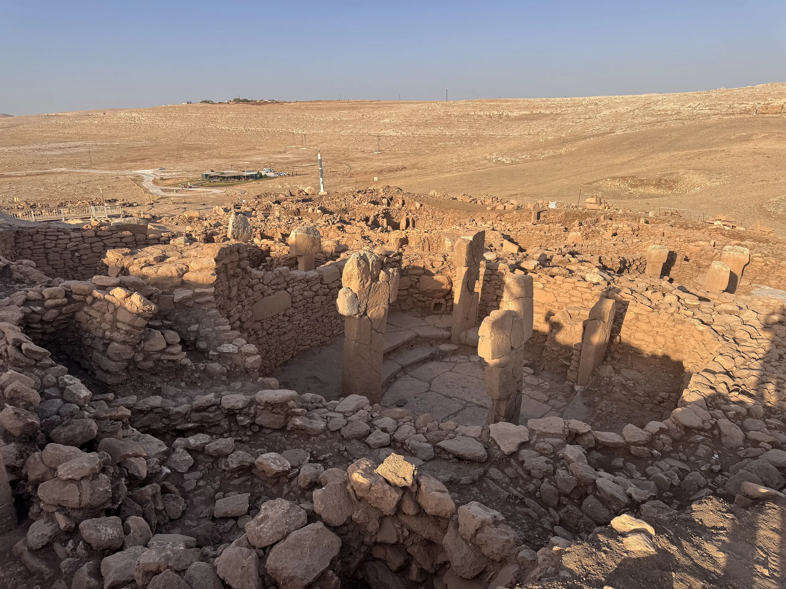
A Pre-Pottery Neolithic settlement in the Tek Tek Mountains near Şanlıurfa, known for special buildings cut into bedrock, a carved human head and T-shaped pillars.
Karahan Tepe is a place (Mound settlement) in Turkey, Sanliurfa. Main periods: Neolithic Period.
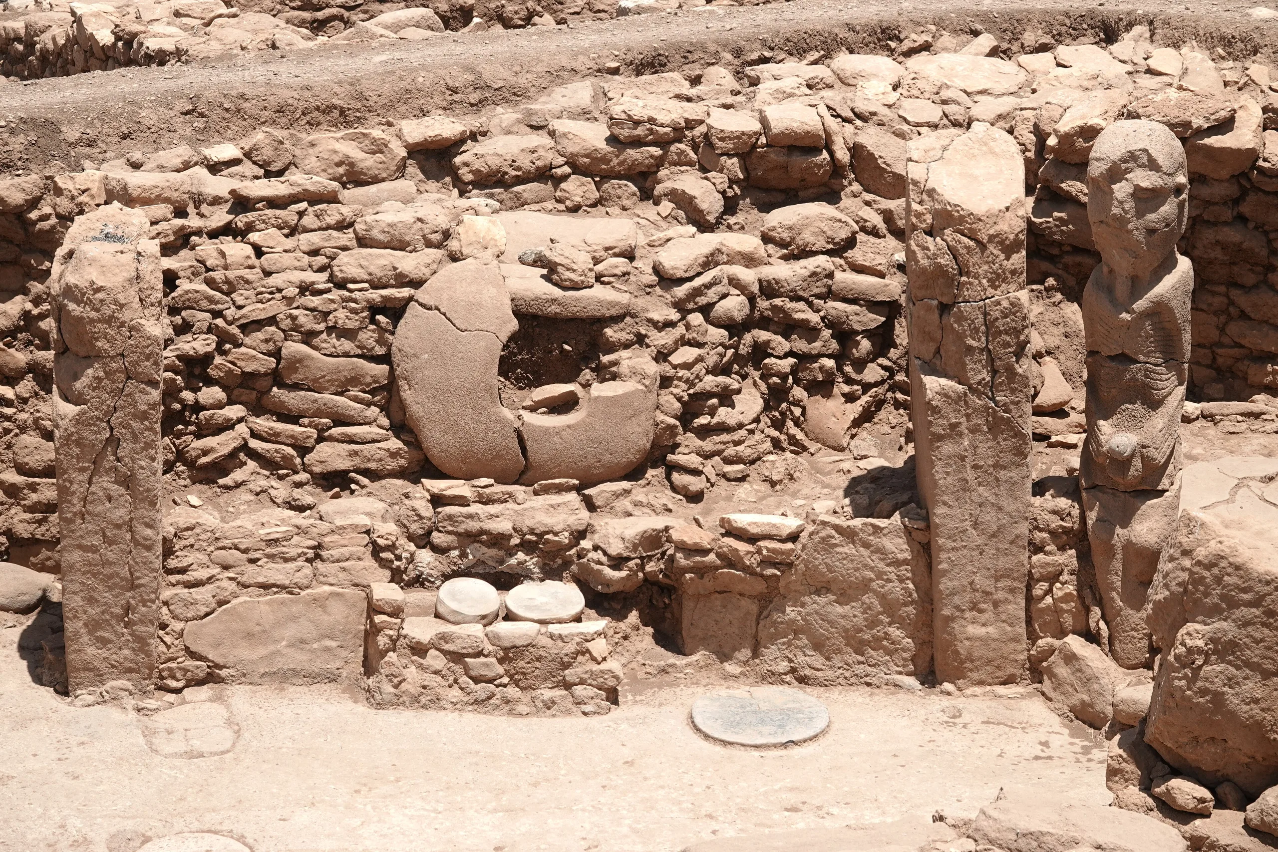
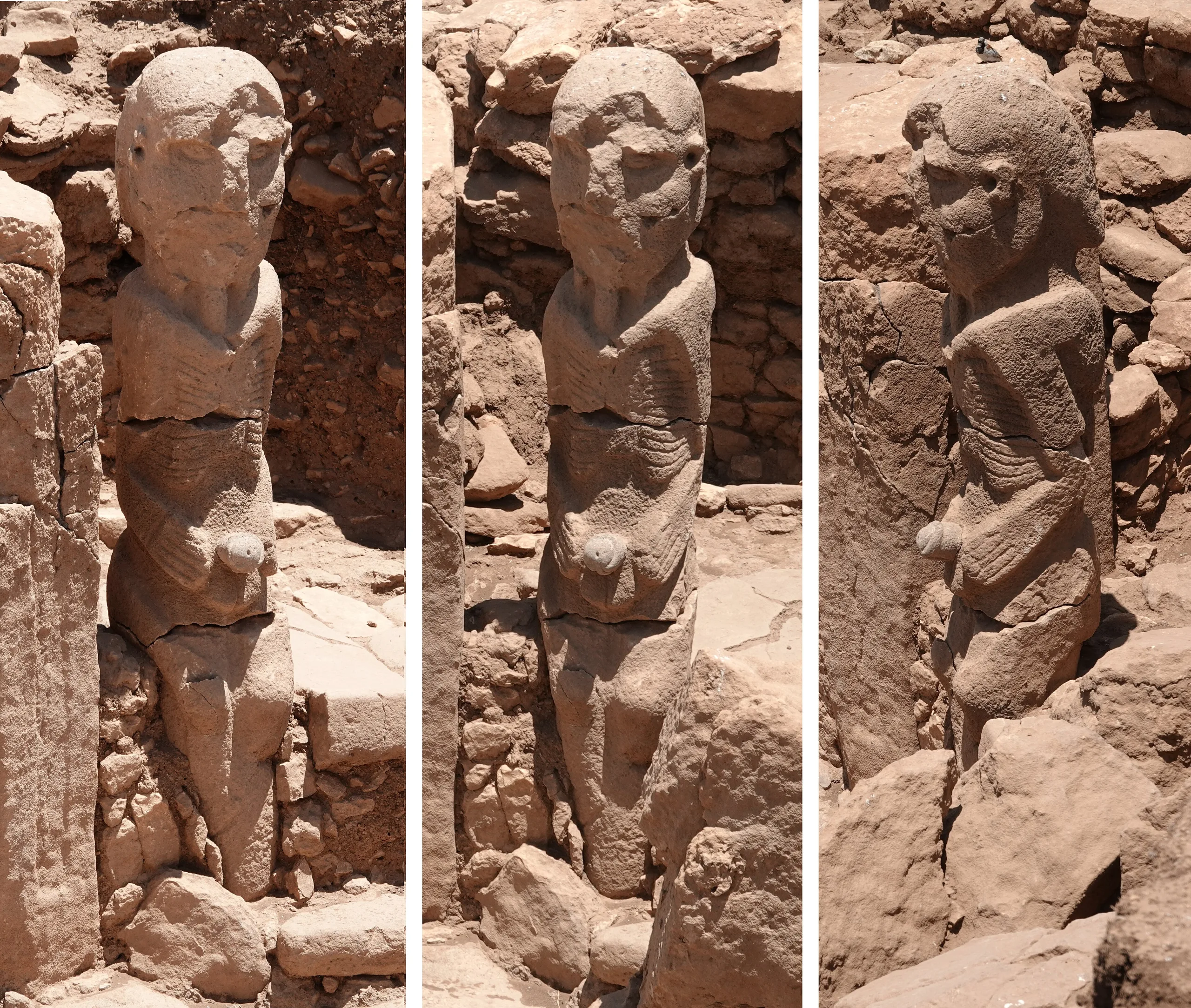
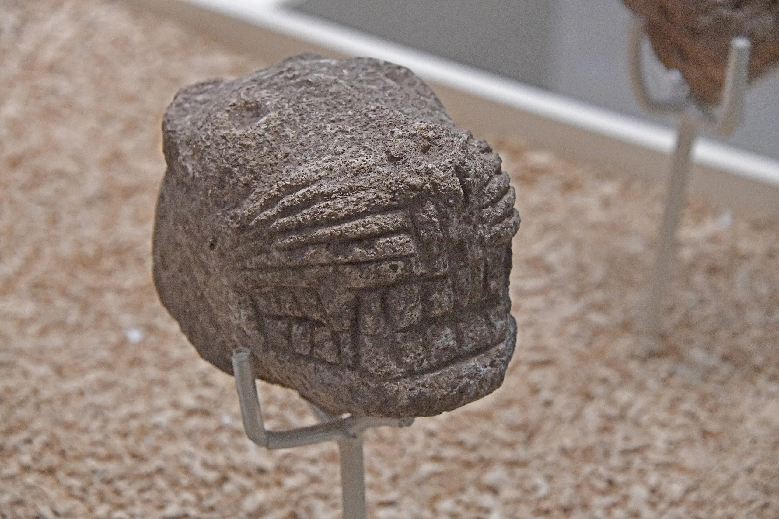
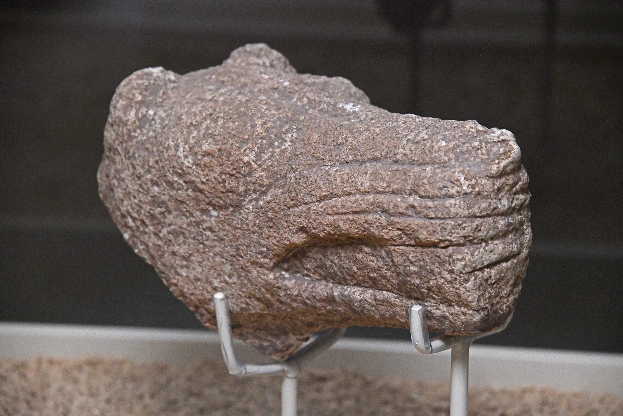
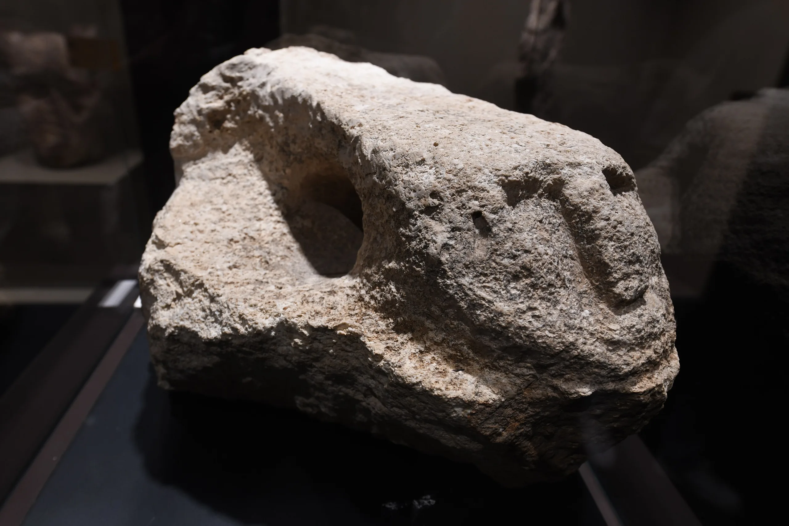
You get into Structure AB through a round opening about 70 centimetres wide in the south, then down a five-step stair. Below, in a room cut wholly from the bedrock, a human head juts from the ridge above the west wall: a man with a heavy brow, full lips and a beard under the chin. The face belongs to Karahan Tepe, about fifty-five kilometres from the centre of Şanlıurfa, on a limestone height in Tek Tek Mountains National Park. The Neolithic people who hollowed underground buildings out of the hill's hard rock and set pillars in them did more than shelter in the stone. They made it the setting for what they believed.
The setting
The Tek Tek Mountains are a low plateau some sixty kilometres long, lying between the Harran and Viranşehir plains. Its highest ground, 761 metres above the sea, is in the north; toward the south the land sinks under 500. The northern part looks like a shallow valley shaped by small streams, with flat limestone beds forming stepped hills. Those slabs gave both building stone and the raw material of the T-shaped pillars. Bedrock that was easy to work helps explain why monumental buildings were cut into it and why such large pillars appeared. Walling off one end of the valleys with stone may also have been a handy way to turn them into hunting grounds.
How the settlement is laid out
The site came to light in 1997, in the Şanlıurfa archaeological survey. Its archaeological deposit spreads over about ten hectares, and the quarries where pillars were cut add roughly five more. Surface survey and geomagnetic readings showed that it falls into four separate parts.
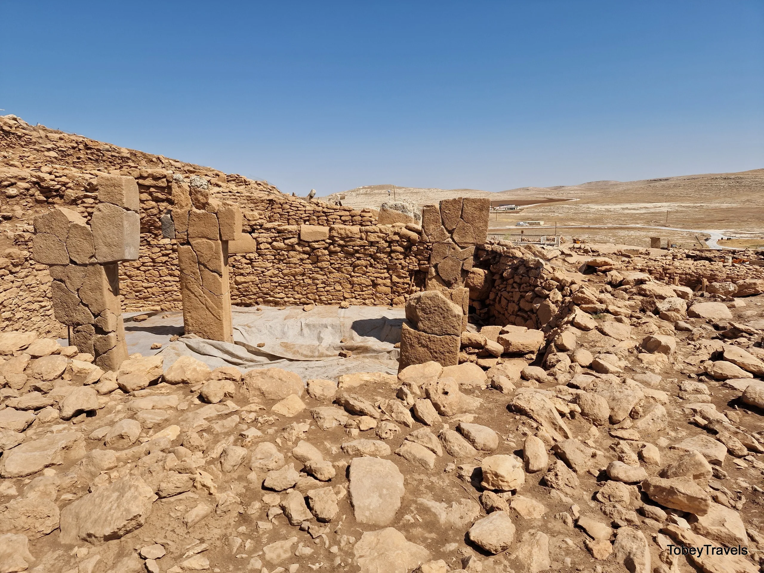
The first is the West and East terraces on the slopes of two facing hills, where the tops of T-shaped pillars show at the surface and the way the stones are arranged points to round buildings of different sizes. On the Southern Plain no pillars are visible, and finds tied to household life, such as grinding stones, are concentrated instead. The Quarries lie on the terraces of the western cone as it falls south and west, with beds from which pillars were cut and some stones left half-finished. This division comes from surface evidence, yet today's topography and the shape of the bedrock back it up.
The buildings
Special buildings cut into rock
In the 2019 and 2020 seasons four underground structures cut into the bedrock were exposed in the northern part of the West Terrace. They date to the Late PPNA and Early PPNB, and three of them belong to one complex. None has any sign of domestic use. All were built for special purposes.
Structure AD, at the heart of the complex, is the biggest. It is about twenty-three metres across, with a nearly rectangular plan and rounded corners. Its western half is cut into the bedrock, and the wall on that side stands 4.3 metres high. Two-stepped benches and buttresses worked from the rock run along the wall, with pillars rising between them. The fittings inside are elaborate.
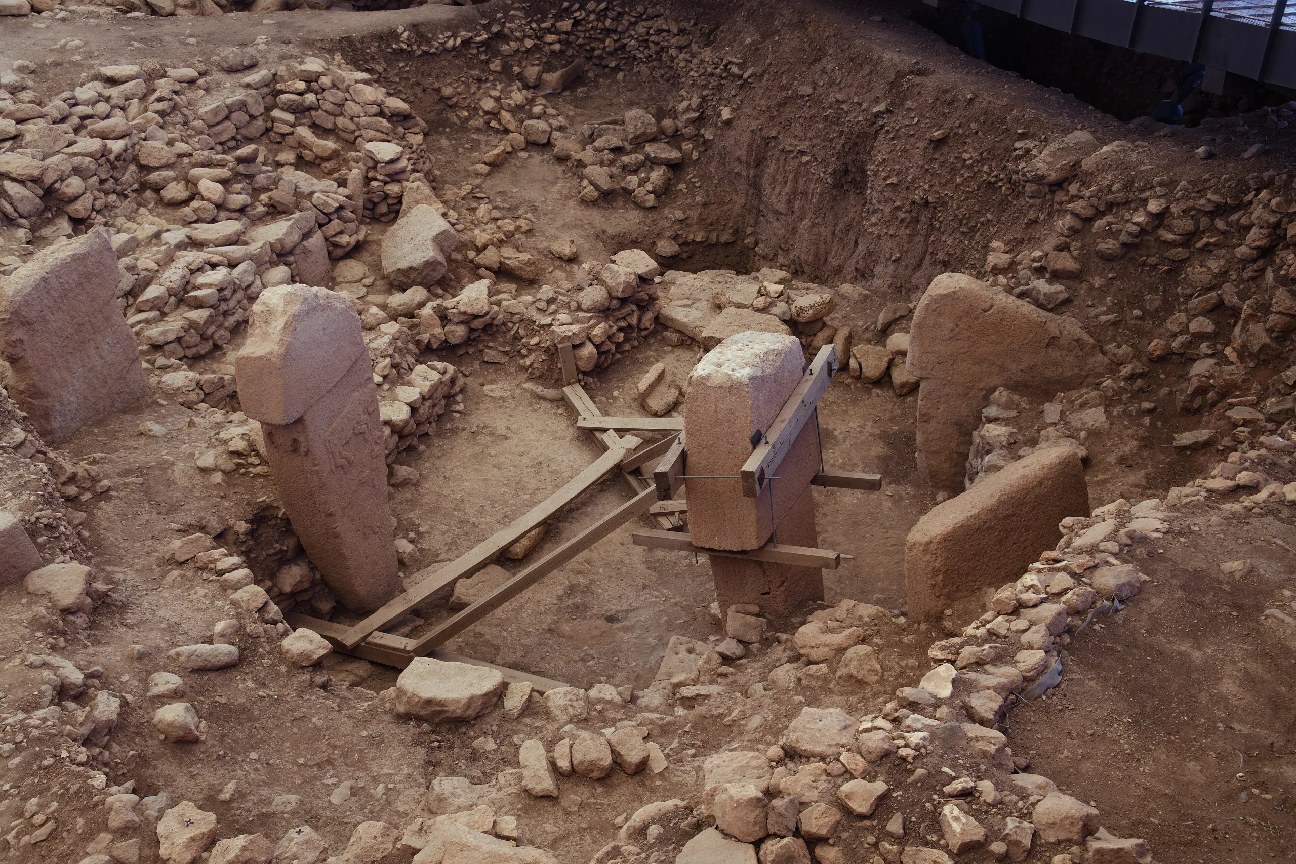
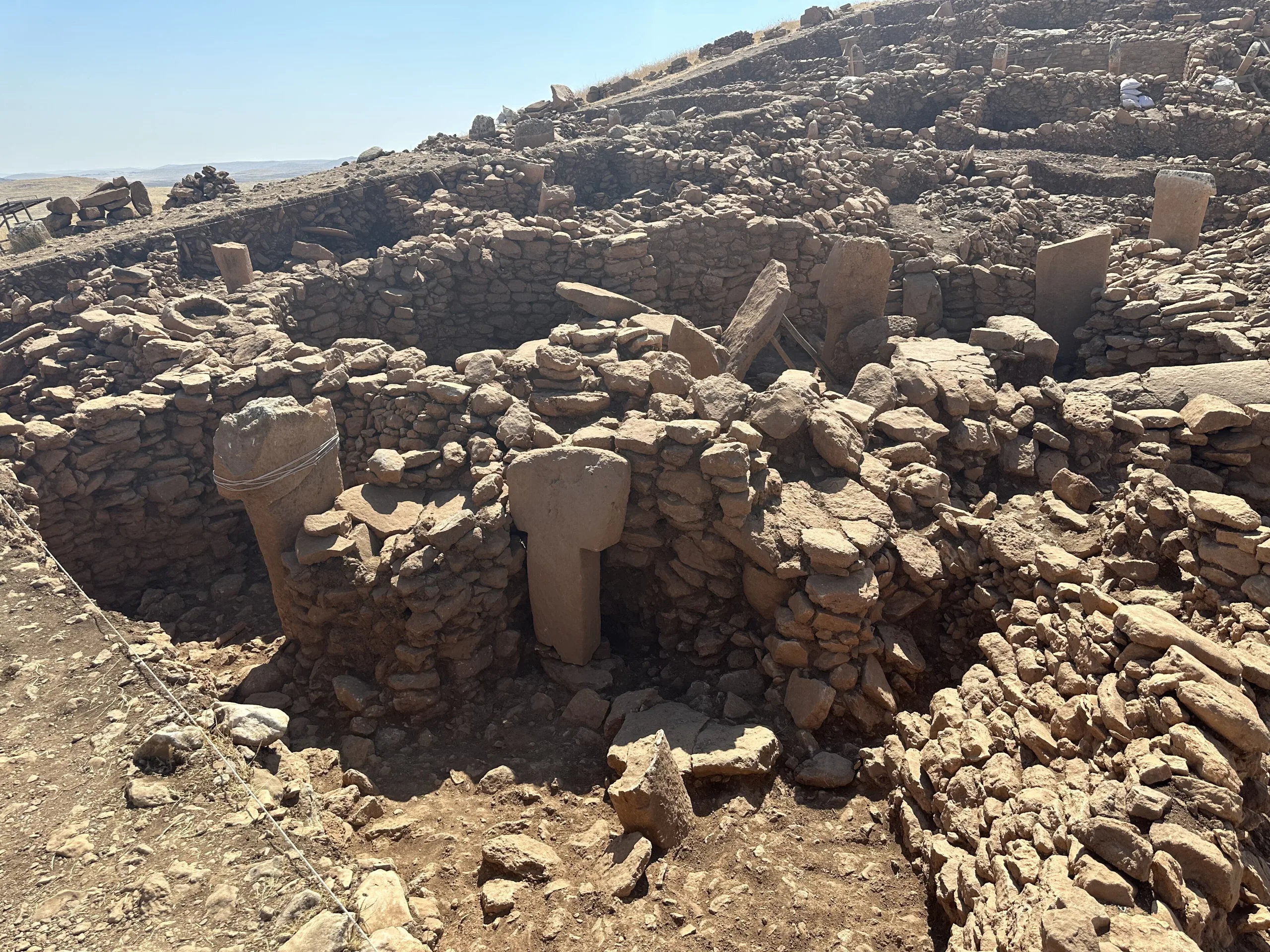
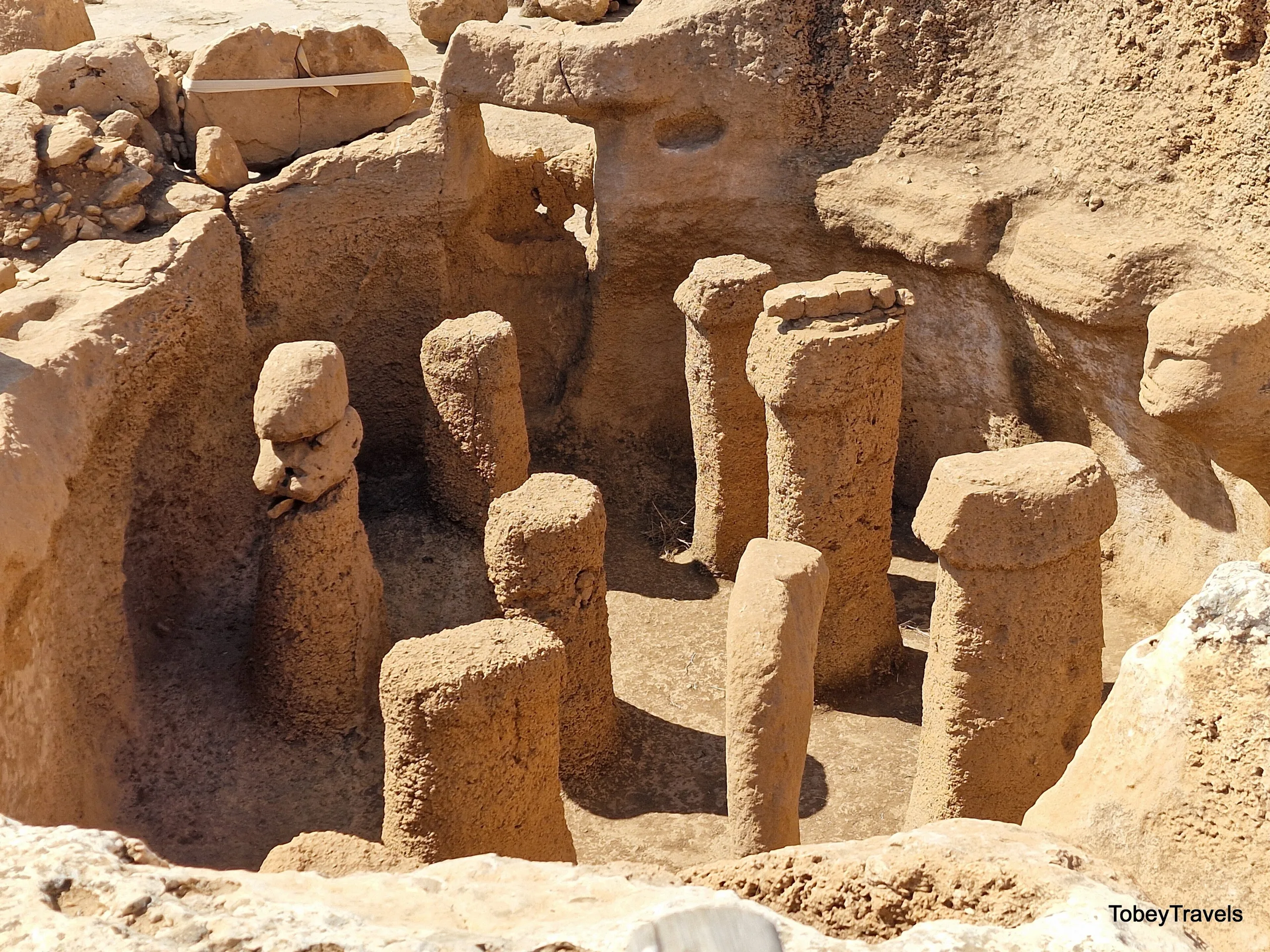
Structure AB, north of AD, is carved entirely out of the rock. It measures about seven by six metres, its plan a trapezoid with rounded corners, a shape its neighbour AA repeats. A second stair of four steps in the north-east was probably the way out. Beside the human head are two small niches. Ten pillars shaped from the bedrock stand inside, and an eleventh, set in place, brings the number to eleven. The four in front of the head are 1.6 to 1.7 metres high and better made than the six behind.
Buildings buried on purpose
What people argue about most at Karahan Tepe is that these buildings were filled in deliberately once they were finished with. AB was closed in stages: first a stone-free layer of soil to level the floor, then a fill of stones in random sizes, and at the very top big flat stones with no gaps between them. Especially large stones were laid over the six rear pillars, and the building's outline stayed visible while it was filled. The central AD, by contrast, was not filled but pulled down to end its use. The different treatments hint at how much meaning this Neolithic community put into its buildings.
Excavation
After the discovery in 1997, digging began in 2019. It was Prof. Dr. Necmi Karul of Istanbul University whose publications introduced the buried buildings to the scholarly world. Structure AC in the north-east is known to be rock-cut as well, though in these first seasons its inner fill had not been excavated.
Visiting
The site is about fifty-five kilometres from Şanlıurfa. Visiting conditions shift over time, so check the official link for current information.
Gallery
Frequently asked questions
Where is Karahan Tepe?
How old is it?
When was it found, and when did digging start?
How many parts does the settlement have?
What sets Structure AB apart?
Is MüzeKart valid at Karahan Tepe?
Sources (12)
- Karahantepe Örenyeri / Karahantepe Archaeological Site (TR ve EN) — T.C. Kültür ve Turizm Bakanlığı, Müzeler ve Örenyerleri
- Buried Buildings at Pre-Pottery Neolithic Karahantepe (Karul) — Türk Arkeoloji ve Etnografya Dergisi 82 (2021), DergiPark
- Karahan Tepe (Pleiades place 293884662) — Pleiades
Photo credits
- Photo: Campels, CC0 — Wikimedia Commons (resized)
- Photo: Vincent Vega, CC BY-SA 4.0 — Wikimedia Commons (resized)
- Photo: tobeytravels, CC BY-SA 4.0 — Wikimedia Commons (resized)
- Photo: Marco Restano, CC BY-SA 4.0 — Wikimedia Commons (resized)
- Photo: Marco Restano, CC BY-SA 4.0 — Wikimedia Commons (resized)
- Photo: tobeytravels, CC BY-SA 4.0 — Wikimedia Commons (resized)
- Photo: Dosseman, CC BY-SA 4.0 — Wikimedia Commons (resized)
- Photo: Dosseman, CC BY-SA 4.0 — Wikimedia Commons (resized)
- Photo: Dosseman, CC BY-SA 4.0 — Wikimedia Commons (resized)