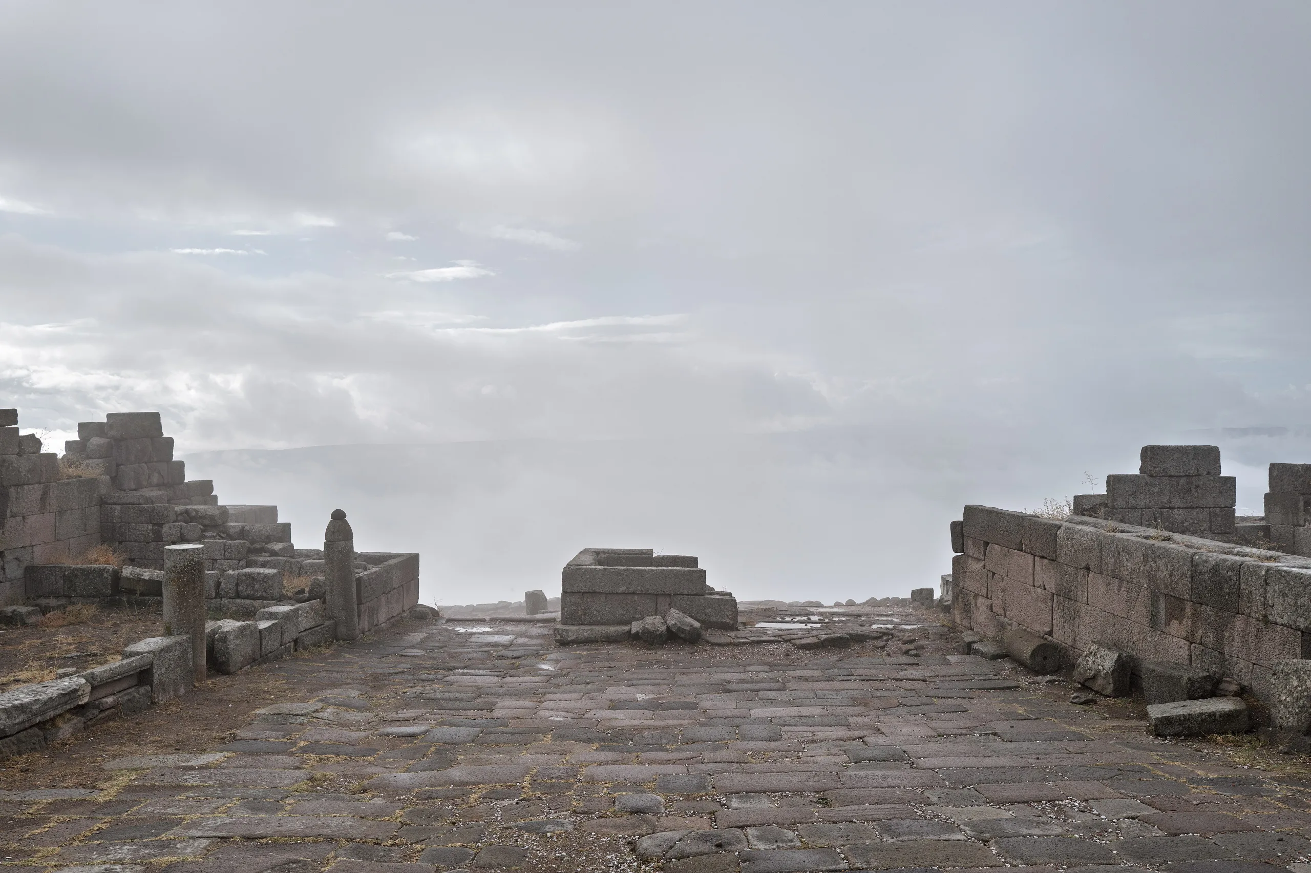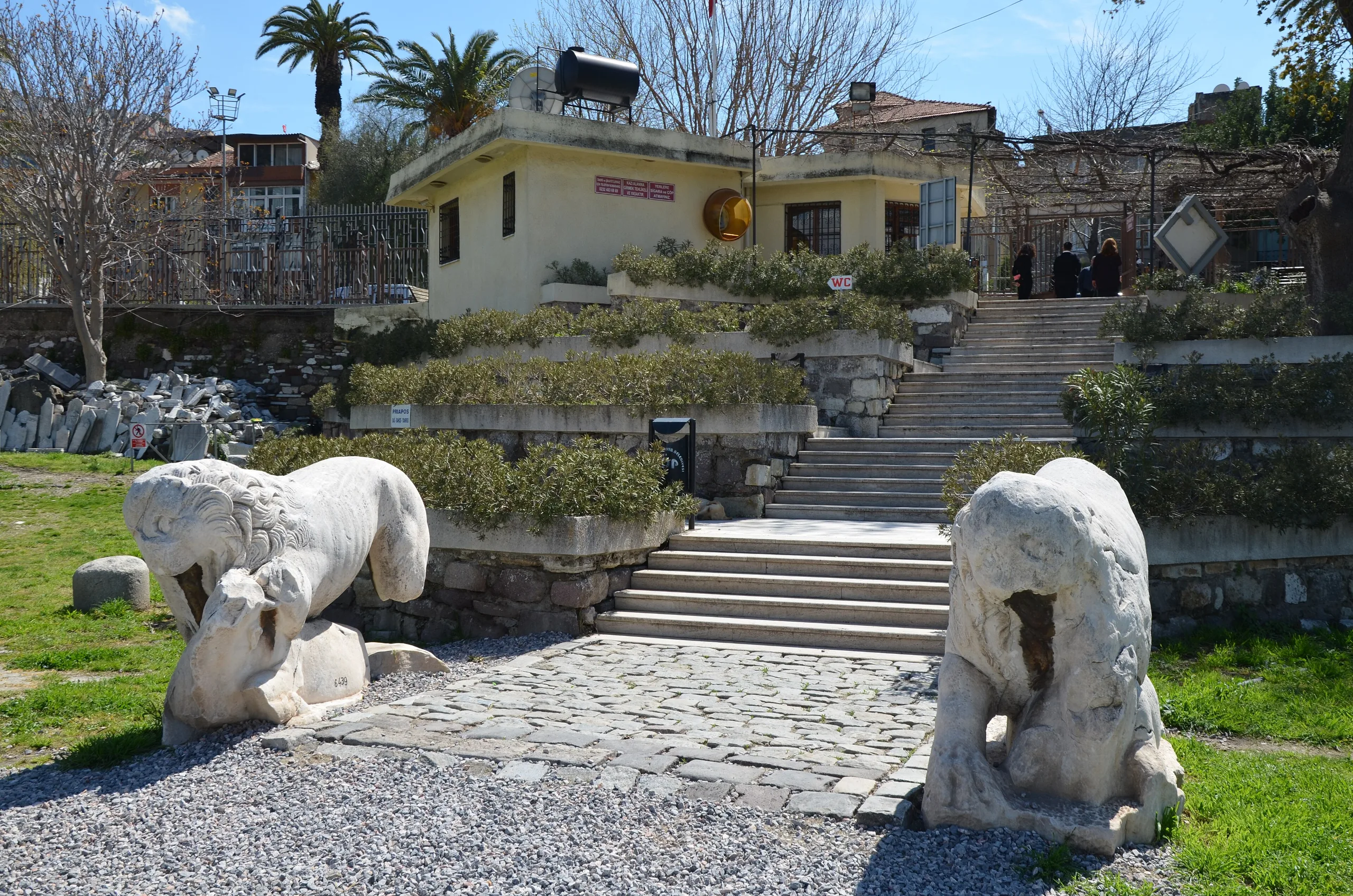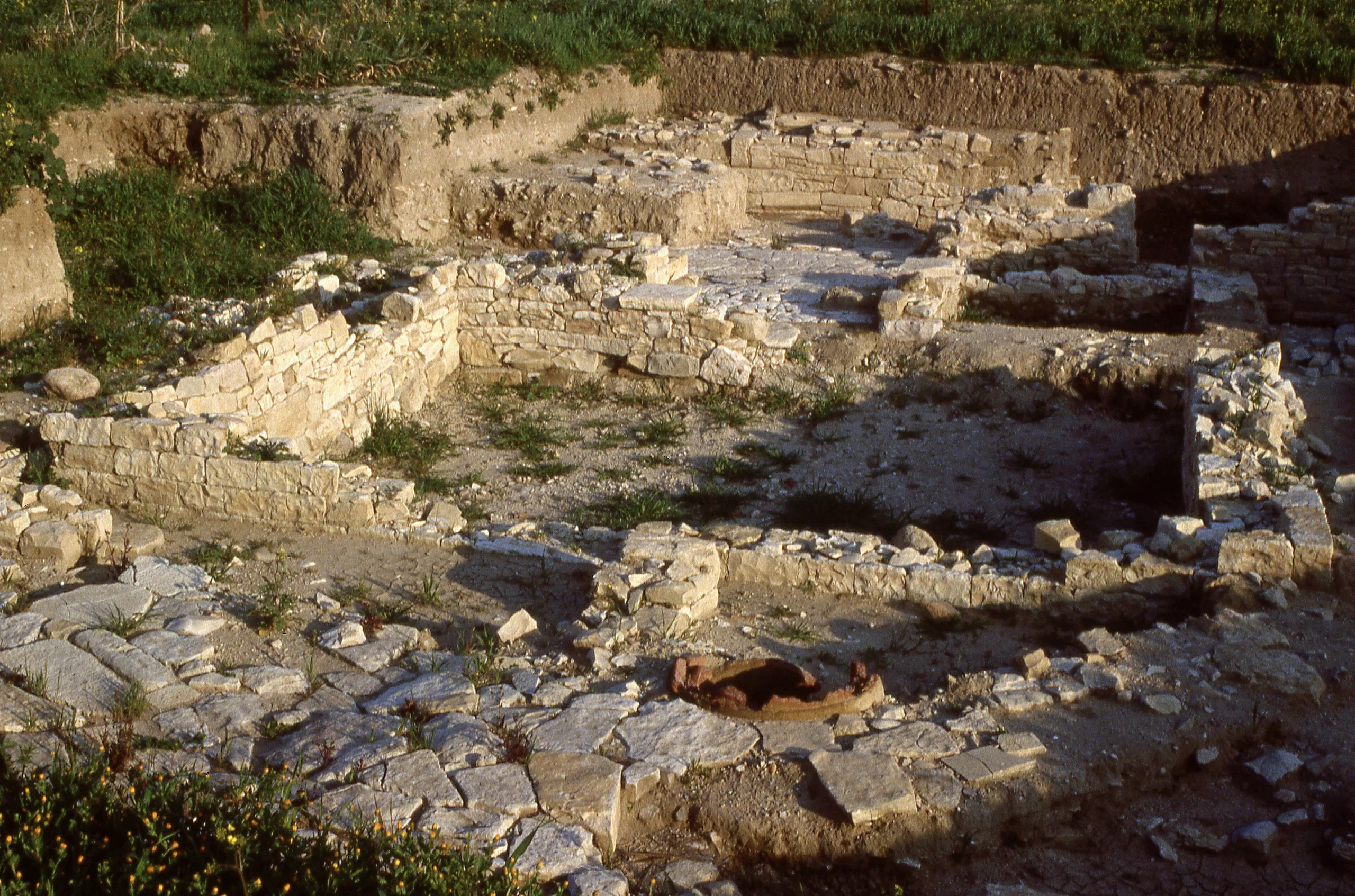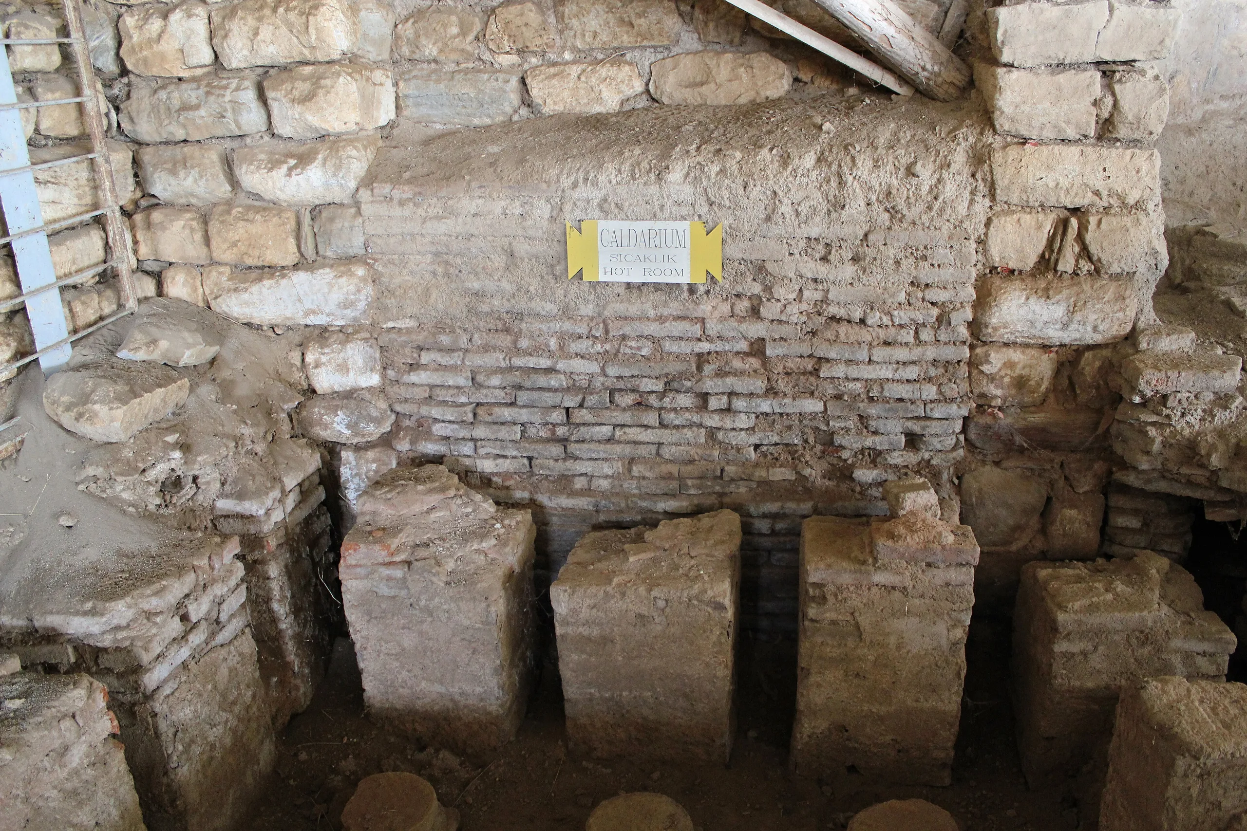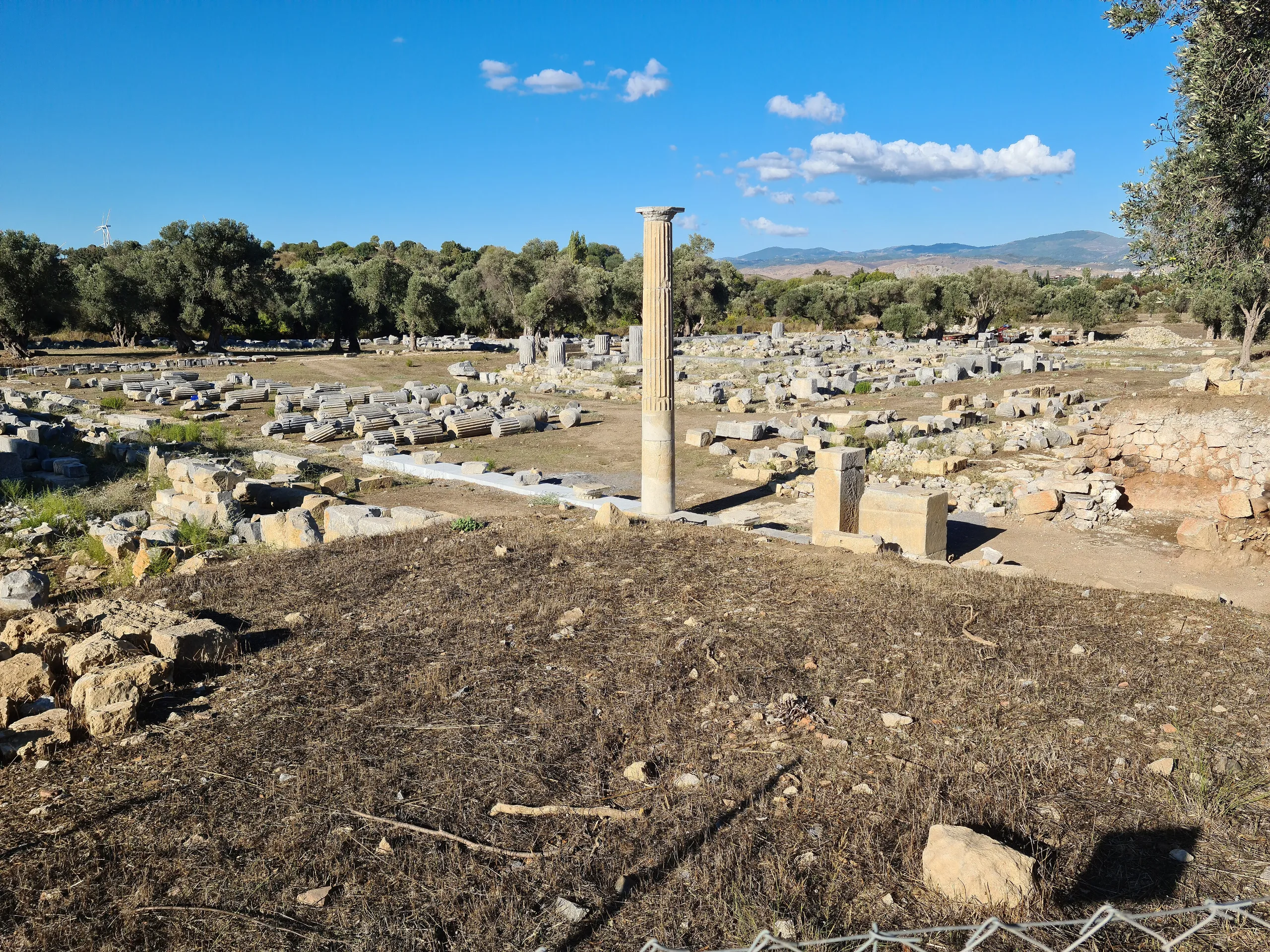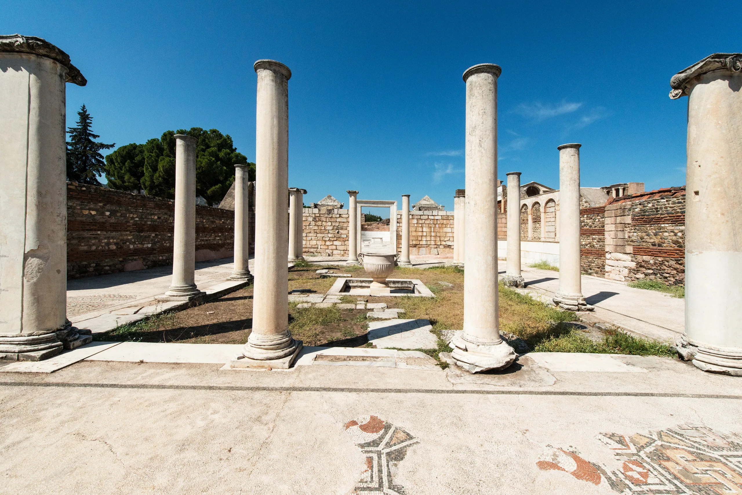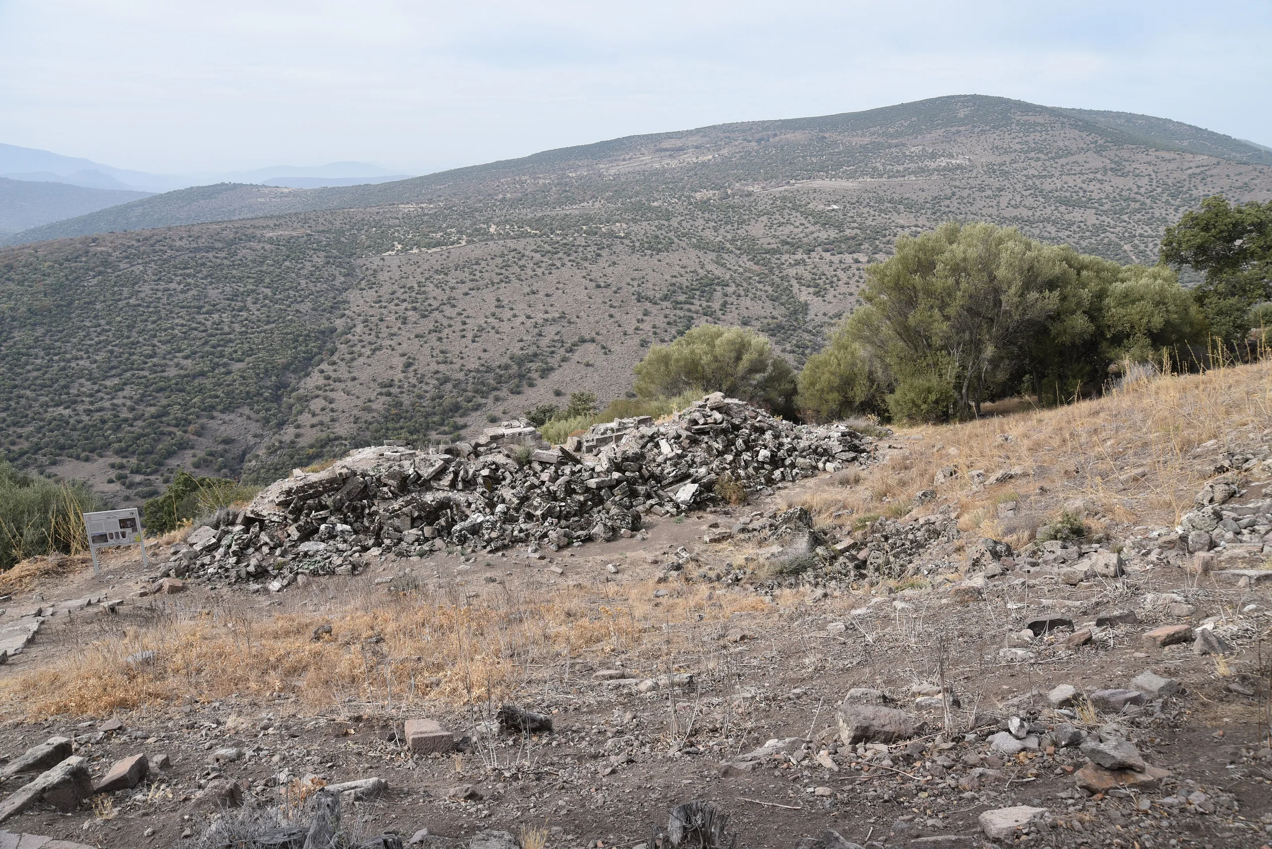
Aigai is an Aeolian hill city on Mount Yunt in Manisa, known for its three-storey Hellenistic agora building, bouleuterion, theatre, macellum and Athena sanctuary.
Aigai is an ancient city located in Turkey, Manisa. Main periods: Archaic Period, Hellenistic Period, Roman Period, Byzantine Period.
Aigai is an Aeolian city within the boundaries of Köseler village on Mount Yunt, some 49 km from the centre of Manisa. The ministry says it stands 360 metres above sea level on a volcanic hill. The Culture Portal stresses that, unlike typical Greek settlements, it lay far from the Aegean coast in mountainous country. The place is also called Nemrutkale or Köseler Castle.
History
Aigai was one of the twelve Aeolian cities listed by Herodotus. Ancient authors date the Aeolian arrival on the western Anatolian coast to about 1100 BCE. The founding date of the city itself varies by source. The Culture Portal says excavation points to the late 8th century BCE; Yusuf Sezgin, in an article in the Trakya University journal, writes that the results do not take the foundation earlier than the first half of the 7th century BCE; and the Culture Inventory puts it in the 7th century BCE with acropolis fortifications of the 6th.
The name derives from an Ancient Greek word for goat. The portal reasons that goat symbols on coins, inscriptions and the herding villages of Mount Yunt point to a stock-raising economy, and Pergamon may have taken the raw material for parchment from Aigai. Following Polybius, Sezgin reports that Aigai was badly damaged in the war between Prusias II and Attalos II in 156-154 BCE and afterwards, probably with Pergamene backing, became an economic and cultural magnet in the region. The ministry adds that the city flourished most under the Pergamene kingdom and was replanned on the model of Pergamon.
The Culture Portal and the ministry's Turkish page mention an earthquake in 17 CE, whereas the ministry's English page dates the same quake to 17 BCE. According to the portal, Aigai was deliberately abandoned during Gothic raids in the second half of the 3rd century CE; a town-sized Byzantine settlement followed, with a church of the 12th-13th centuries, and no settlement traces are found after the 13th century.
Main remains
The agora building and macellum
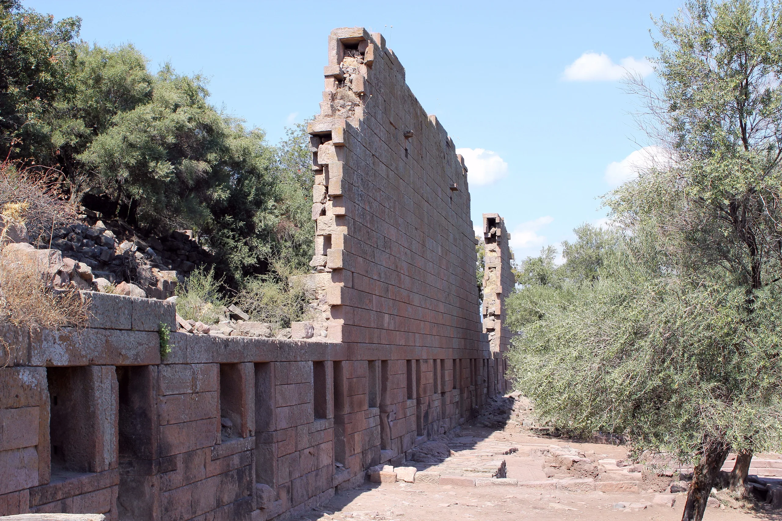
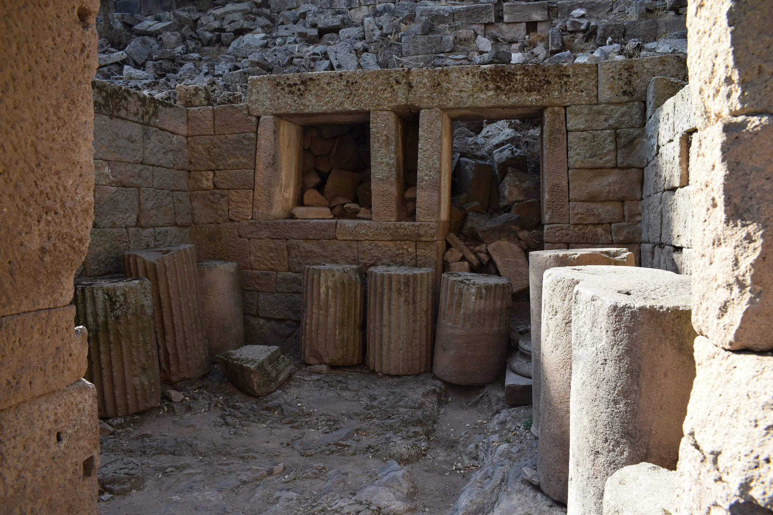
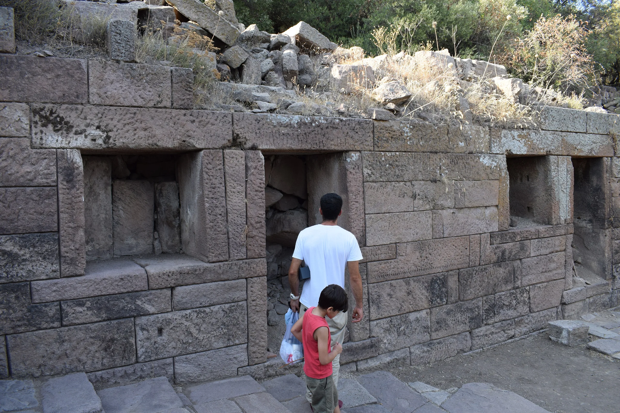
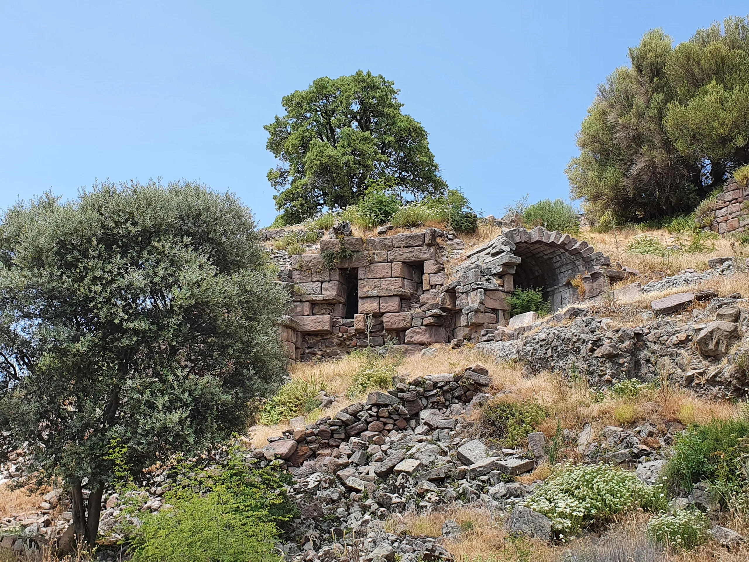
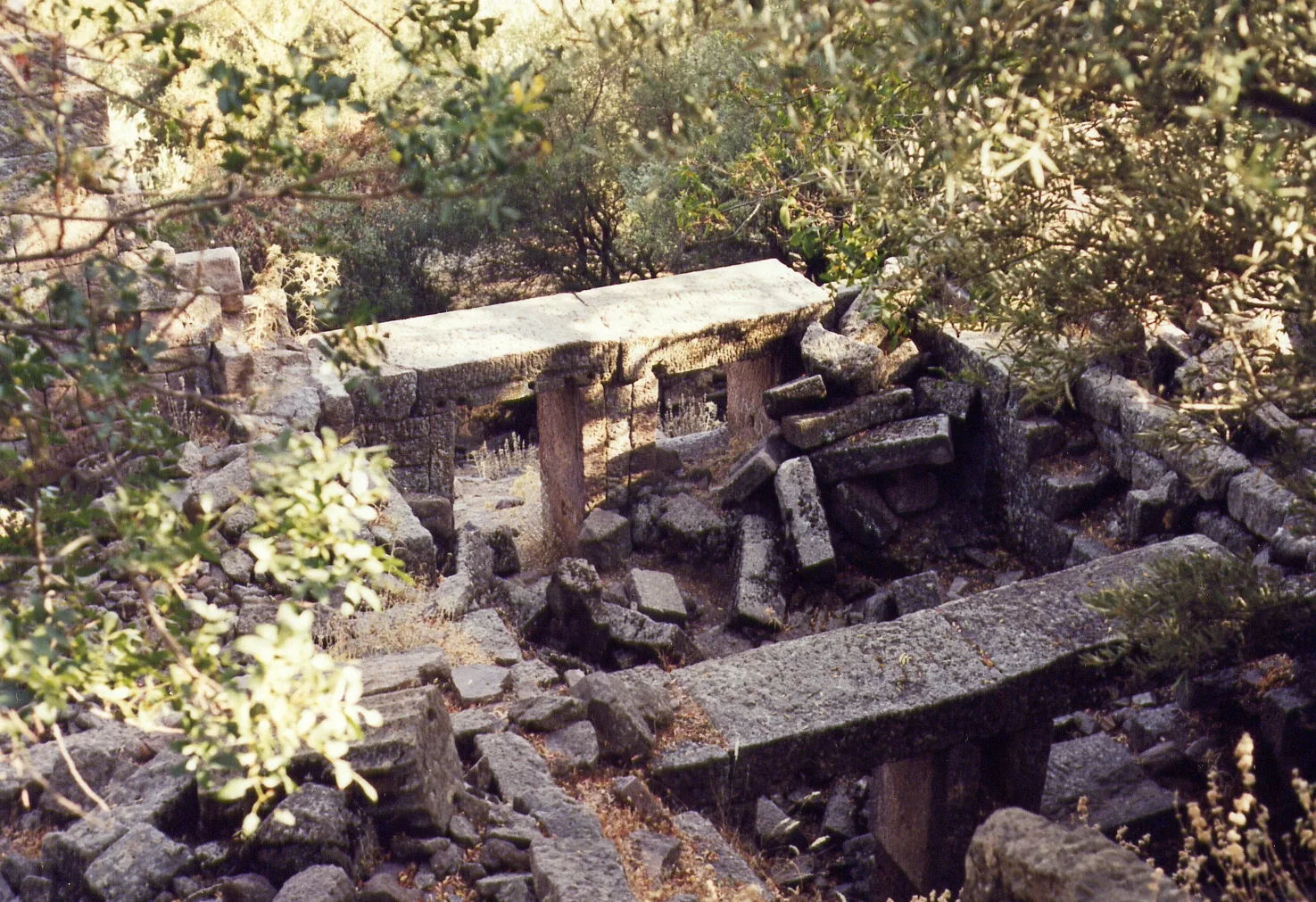
The agora lies on the northeast slope of the hill, east of the terrace that forms the square. The three-storey building is about 80 metres long, and its east wall stands to 10.50 metres; the Culture Inventory gives 11 metres. On the terrace east of the building is a macellum, a fish or meat market, about 8.5 metres across and built of regular slabs.
The bouleuterion
According to the portal the bouleuterion measures 24 by 14 metres and has a twelve-step cavea seating around 190; the Culture Inventory dates the council house to the 3rd century BCE with room for about 150. First information on it came from members of the Pergamon dig team in 1886. Excavation recovered a statue of Hestia Bollaia and six statues of members of the Diaphanes-Antiphanes family, who helped fund the building.
Theatre and the sanctuary of Athena
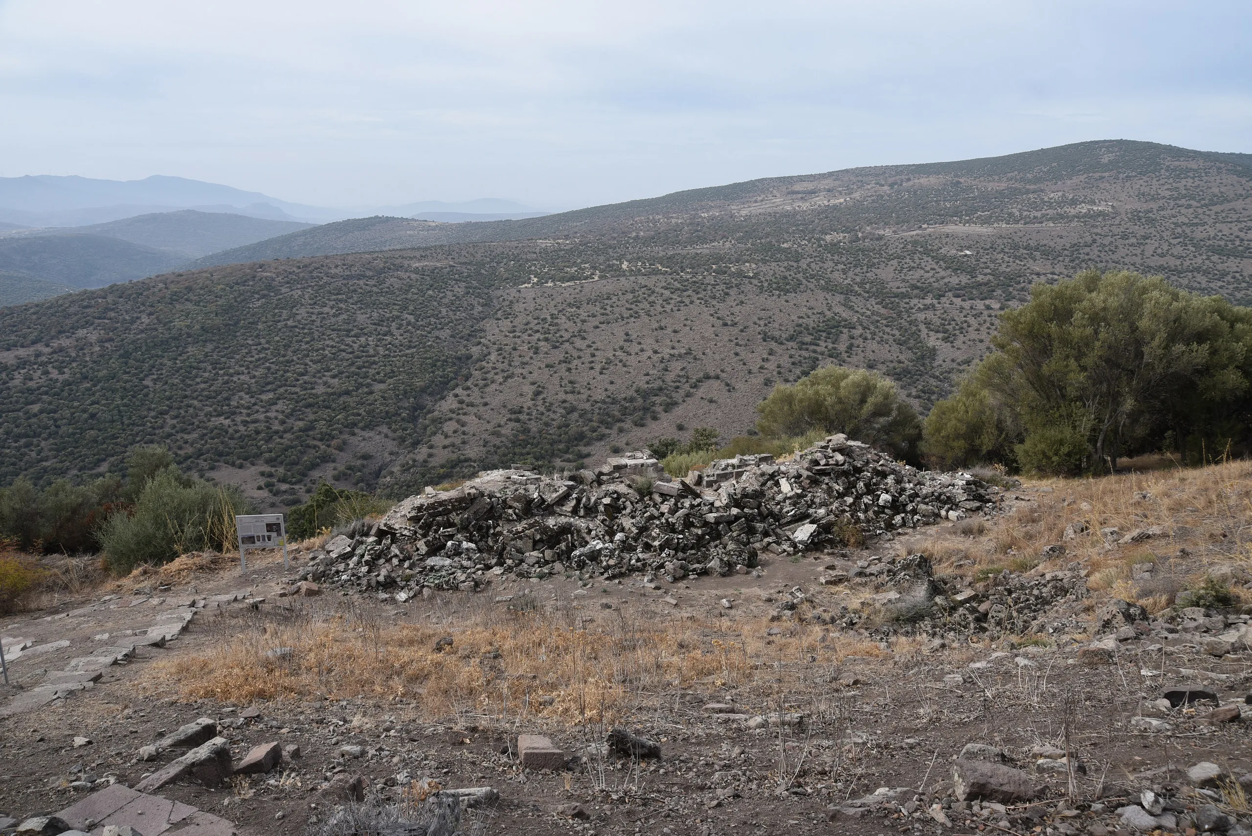
The theatre sits in a hollow sheltered from the north wind; the portal says the analemma wall that carries the vomitorium resembles walls of the time of Eumenes II. In the Athena Sanctuary at the western corner of the acropolis, enclosed by Archaic walls, work begun in 2017 produced finds from the 7th-6th centuries BCE to the Late Byzantine period. The ministry's English page also mentions a stadium and a Temple of Demeter.
Necropolis
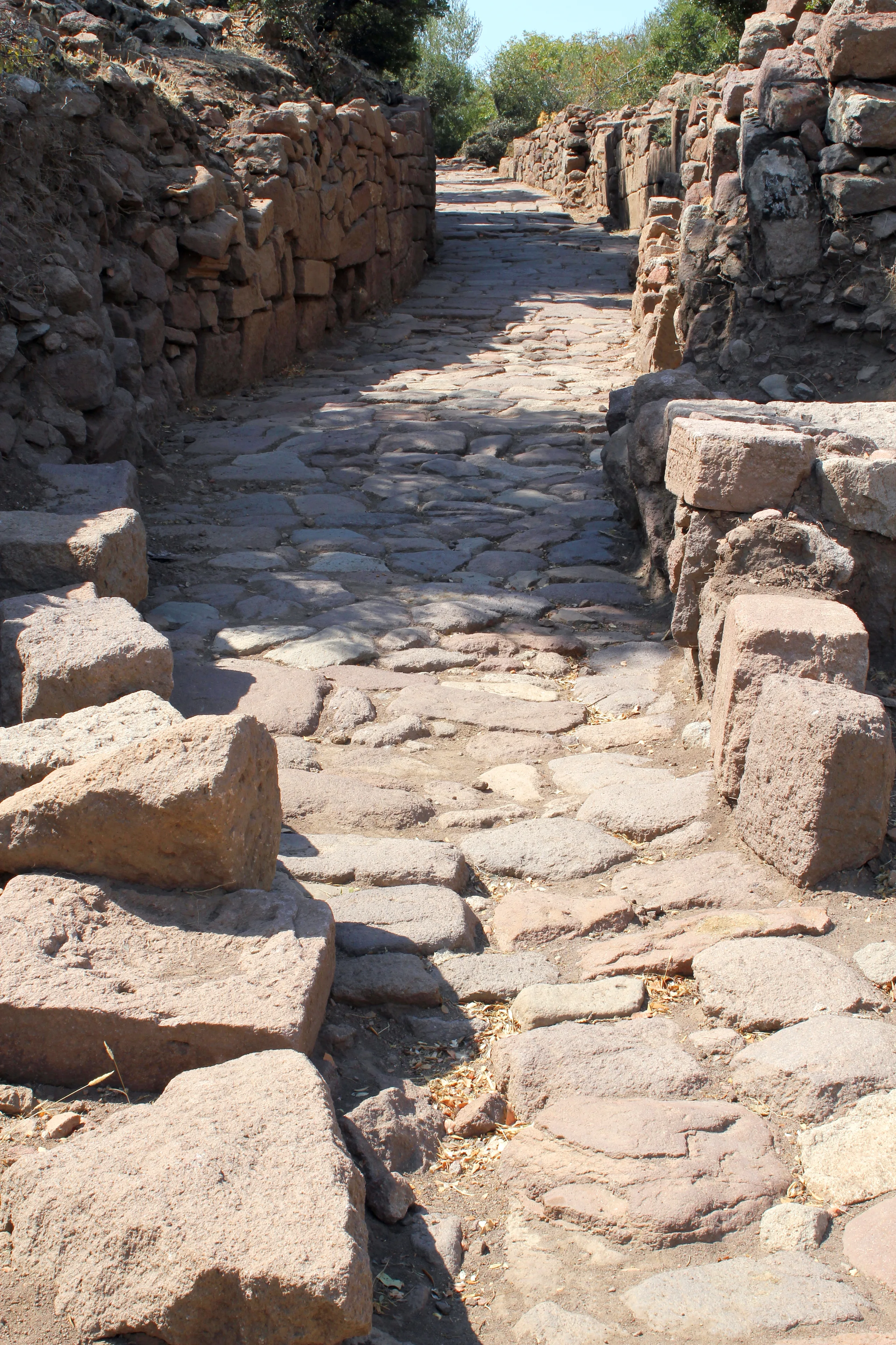
The northeastern foot of the hill and the ancient road further north form the burial ground; the Culture Inventory lists small tumuli, chamber tombs, cist graves, inhumations, sarcophagi and pithos burials.
Excavations
The ministry's English page says extensive excavation has been under way since 2004. The portal text is credited to the Aigai excavation directorate and dates the start of the Athena Sanctuary work to 2017.
Visiting
For opening hours and fees, consult the ministry's official page.
Gallery
Frequently asked questions
Where is Aigai?
What does the name Aigai mean?
When was Aigai founded?
When did the earthquake strike?
When was the city abandoned?
What can be seen at Aigai?
Sources (14)
- Aigai Örenyeri / Aigai Archaeological Site (TR ve EN sayfalar) — T.C. Kültür ve Turizm Bakanlığı, Müzeler ve Ören Yerleri
- Aigai Antik Kenti - Manisa (metin: Aigai Kazı Başkanlığı) — T.C. Kültür ve Turizm Bakanlığı, Türkiye Kültür Portalı
- Aigai Antik Kenti ve Nekropolü (Kültür Envanteri) — T.C. Kültür ve Turizm Bakanlığı, Türkiye Kültür Portalı
- Aiolis’de Bir Dağ Kenti: Aigai (Y. Sezgin, Trakya Üniversitesi Edebiyat Fakültesi Dergisi, 2013) — Trakya Üniversitesi / DergiPark
- Aegae (Pleiades place 550404) — Pleiades
Photo credits
- Photo: Carole Raddato from FRANKFURT, Germany, CC BY-SA 2.0 — Wikimedia Commons (resized)
- Photo: Klaus-Peter Simon, CC BY-SA 3.0 — Wikimedia Commons (resized)
- Photo: Ferit BAYCUMAN, CC BY-SA 4.0 — Wikimedia Commons (resized)
- Photo: Ferit BAYCUMAN, CC BY-SA 4.0 — Wikimedia Commons (resized)
- Photo: Carole Raddato from FRANKFURT, Germany, CC BY-SA 2.0 — Wikimedia Commons (resized)
- Photo: Özge Kesgin, CC BY-SA 4.0 — Wikimedia Commons (resized)
- Photo: Klaus-Peter Simon, CC BY 3.0 — Wikimedia Commons (resized)
- Photo: Klaus-Peter Simon, CC BY 3.0 — Wikimedia Commons (resized)
- Photo: Klaus-Peter Simon, CC BY-SA 3.0 — Wikimedia Commons (resized)