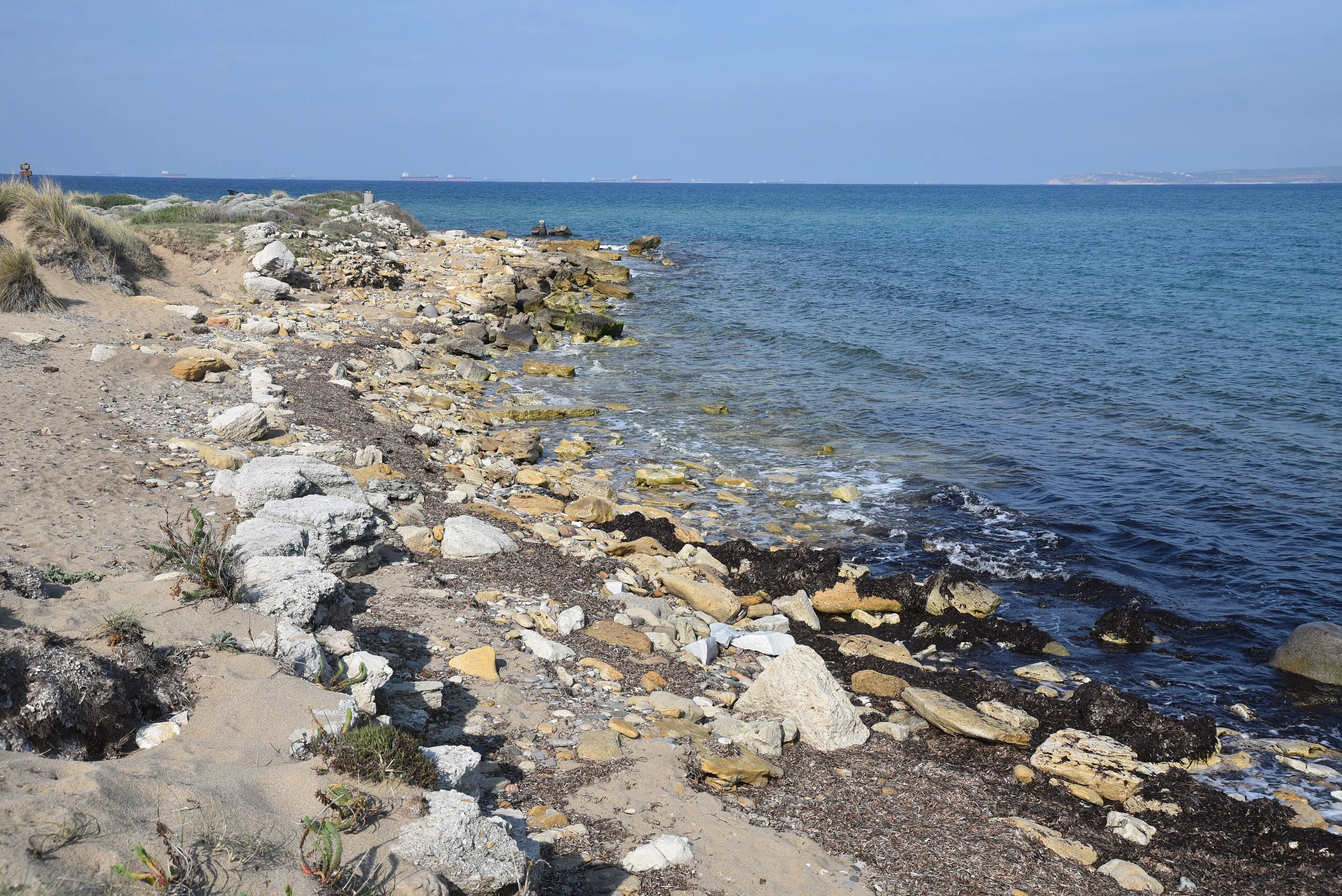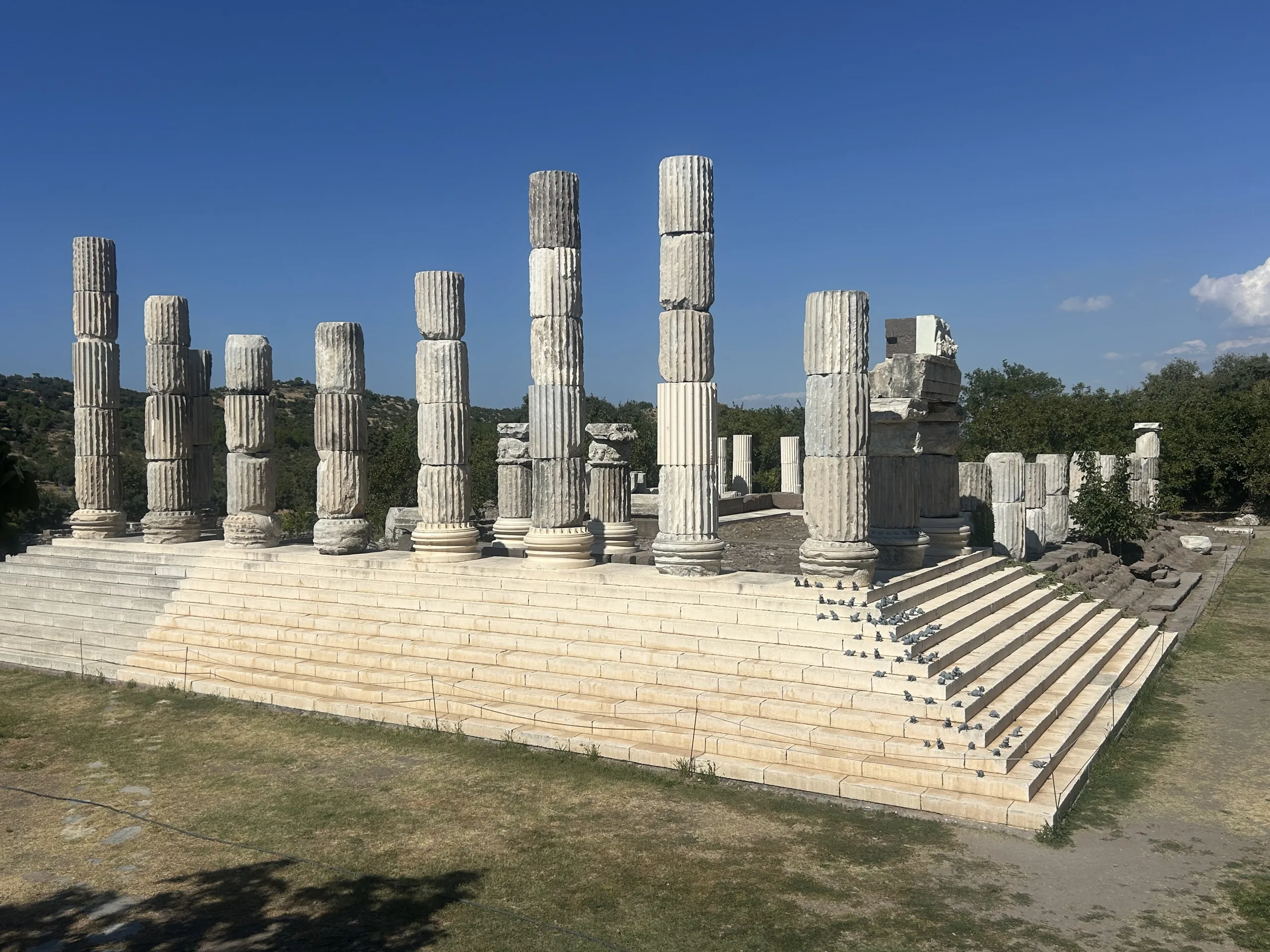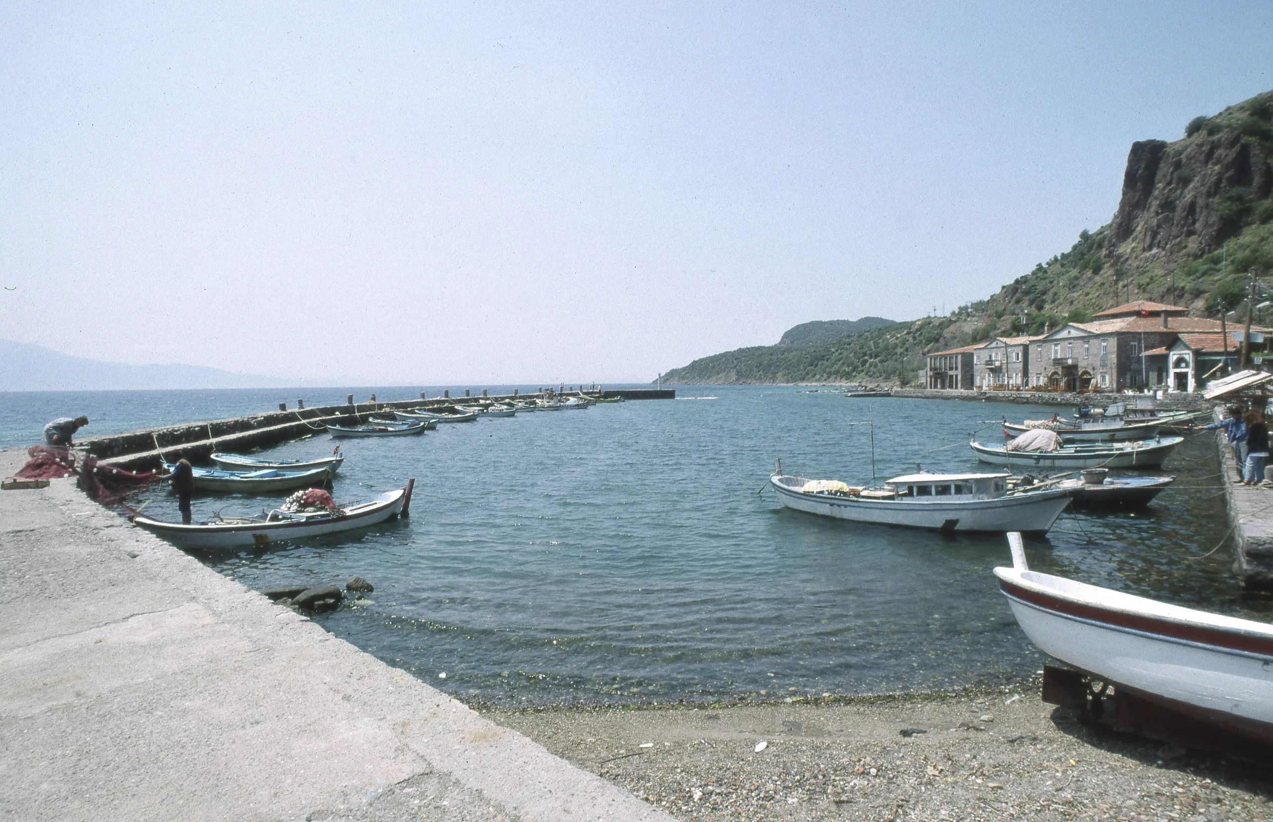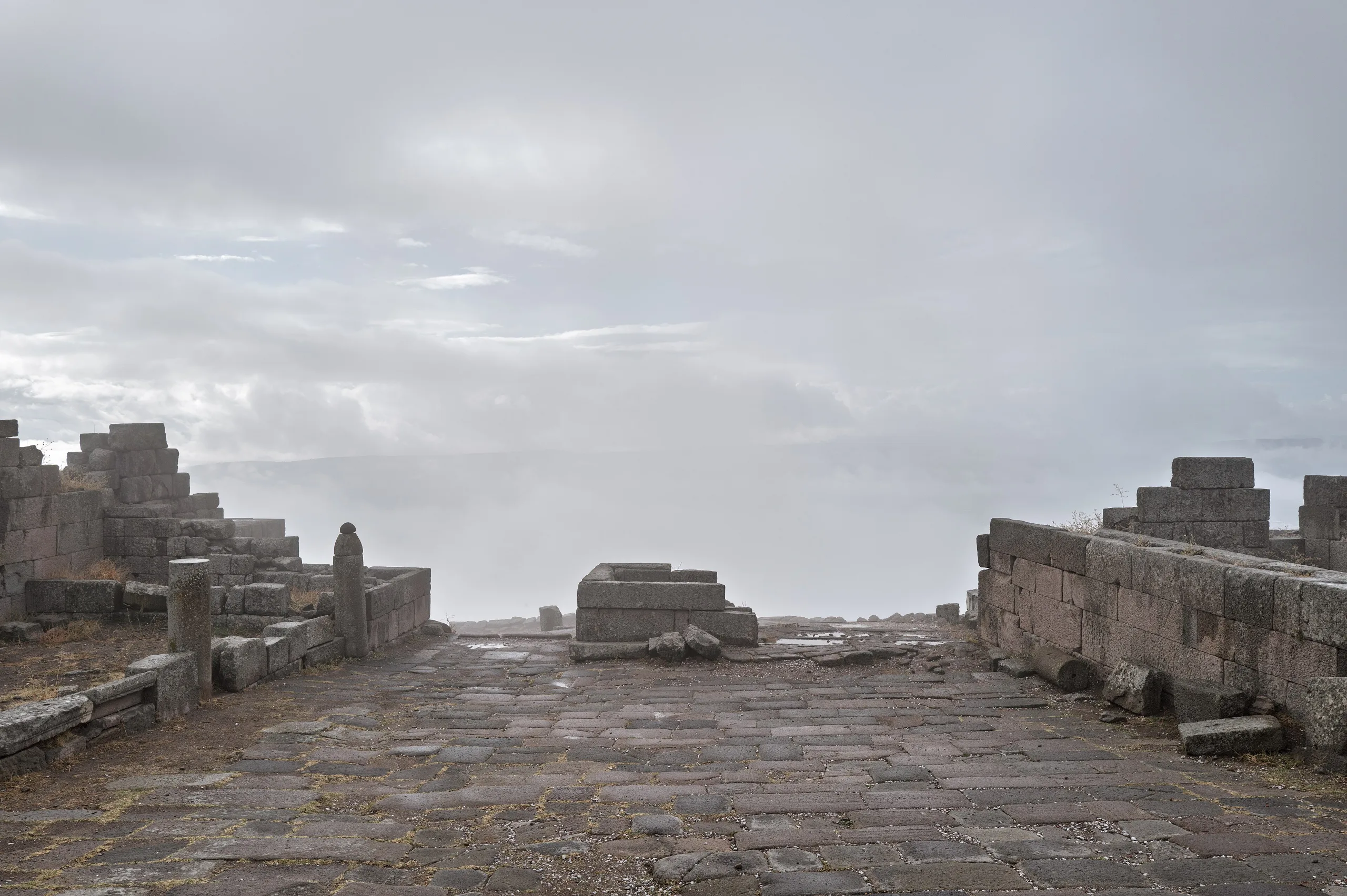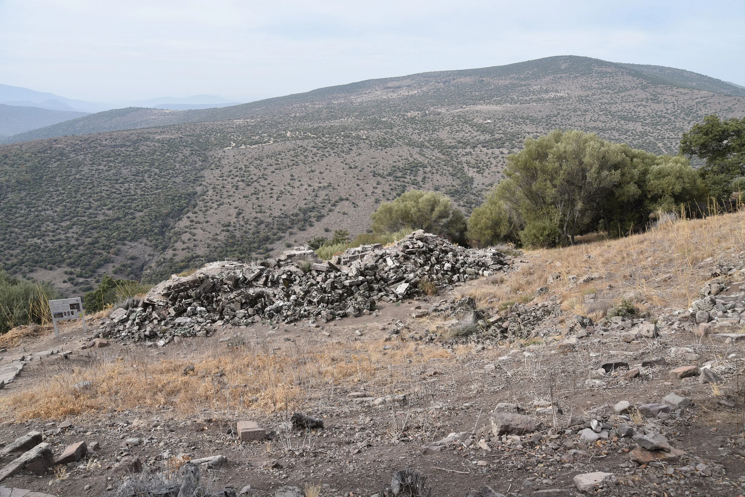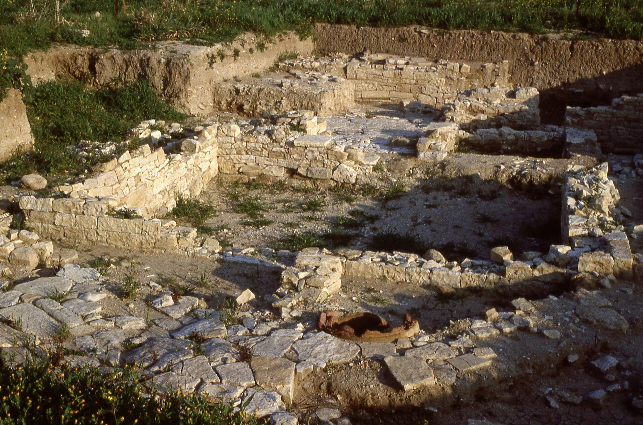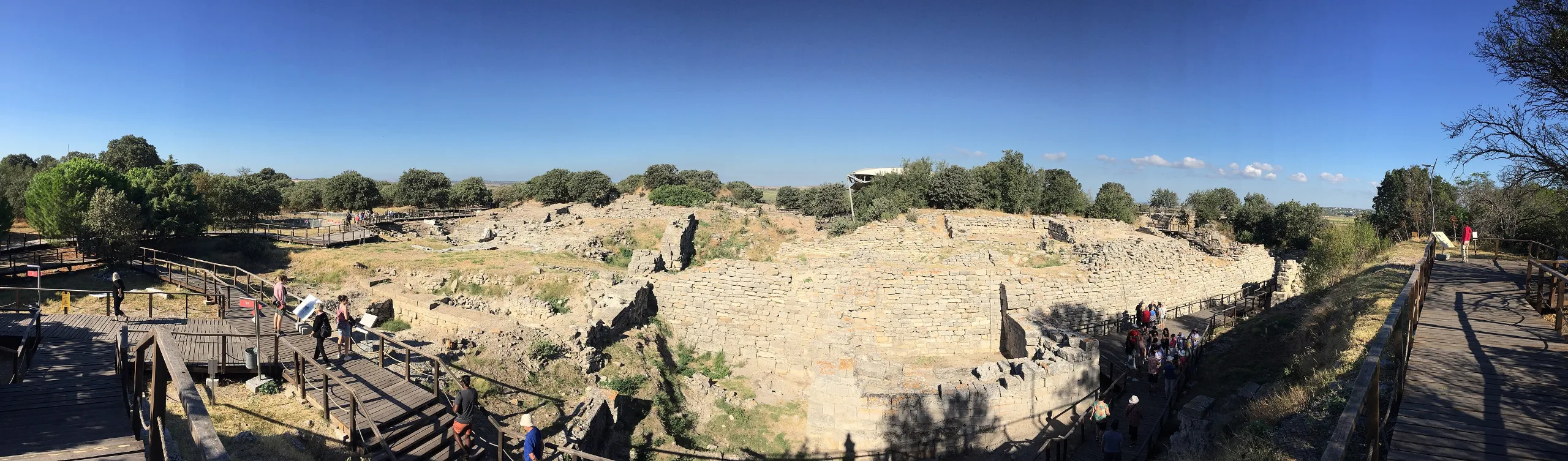
Nine cities stacked on the Hisarlik mound: Troy, in Çanakkale, holds over three thousand years of unbroken settlement and the setting of the Iliad's siege.
Troy is an ancient city located in Turkey, Canakkale. Main periods: Hellenistic Period, Roman Period, Byzantine Period, Bronze Age. It was inscribed on the UNESCO World Heritage List in 1998.
At Hisarlik, each city was built directly on the ruins of the last. Troy's nine settlement layers record more than three thousand years of continuous life on a hill about 4.8 km south of the Dardanelles' southern entrance, at the meeting point of Anatolia, the Aegean and the Balkans. The sequence is so readable that archaeologists around the Aegean and Europe use it as a yardstick for stratigraphy. UNESCO placed the site on the World Heritage List in 1998.
What lies underground is only part of the draw. Homer's Iliad, with its siege, has fed painters, poets and novelists since antiquity, and that literary afterlife brings readers to the mound as surely as it brings archaeologists.
Location and surroundings
The site lies in Tevfikiye village, Çanakkale Province. Other places in the same region are the Troy Museum, Alexandria Troas, Assos and the Temple of Apollo Smintheus, and visitors often combine them into a single trip around the Troad. Hours, prices and guide services change, so check the official page before going. The Müzekart pass is valid here for Turkish citizens.
History
The first citadel wall went up around 3000 BC, and by about 2500 BC the fortified core measured roughly 110 m across. People were on the hill by the late fourth millennium BC, and across the wider Troad, settlement stretches back some eight thousand years. This earliest Early Bronze Age phase is called Troy I.
Over the next five centuries (Troy II-V) the town took on an increasingly planned look. Around 2000 BC came a deep change: houses and walls were rebuilt in stone and the settlement spilled past its original ramparts. From about 1700 BC, Troy VI may well have filled the whole plateau and ranked among the Aegean's larger towns, and goods from Mycenae and the rest of Greece show how far its trade reached.
An earthquake around 1350 BC flattened walls and houses in Troy VI, yet the survivors rebuilt on a tidier plan within a short time. Burnt layers and signs of killing from about 1250 BC mark the end of Troy VIIA, the phase usually identified with the city the Greeks besieged in the Iliad. One suggestion holds that the real quarrel was commercial: rivalry with the Mycenaean world over the straits and Black Sea trade. The siege is generally placed in the 13th century BC.
Bronze Age Troy probably lost its commercial strength and was abandoned by the end of the second millennium BC. Greek colonists from Lemnos climbed the hill again in the eighth century BC (Troy VIII). In 306 BC the town became capital of a league of Troad cities, and in 188 BC Rome recognised it as Homer's Ilion, the mother city of the Romans, and exempted it from tax. Plundered during the Mithridatic War in 85 BC, it was refounded about 20 BC after a visit by Augustus.
Under Roman rule it stayed lively. Heruli raiders damaged it badly in AD 267, and it came through a violent earthquake early in the 6th century. People left the hill in the 9th century and came back in late Byzantine times; the mound was not fully empty until well into the Ottoman period.
Notable structures
Citadel walls and gates
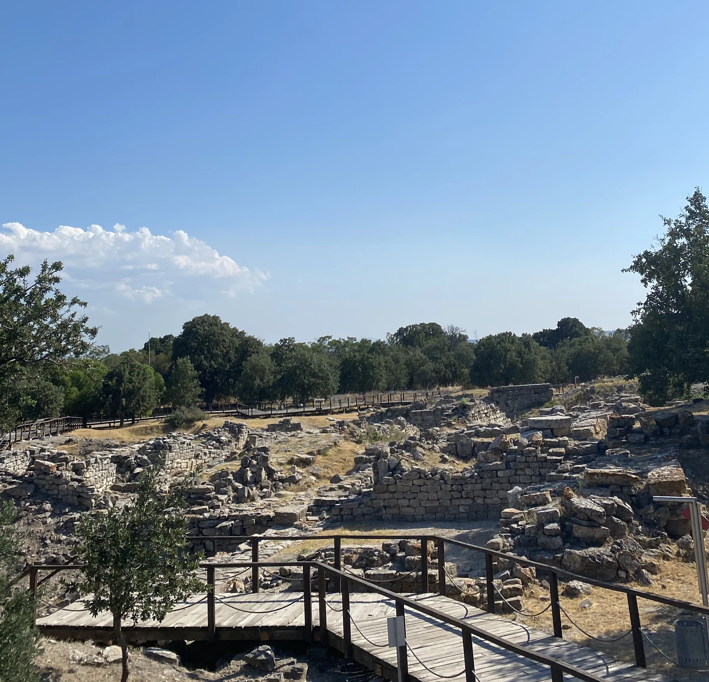
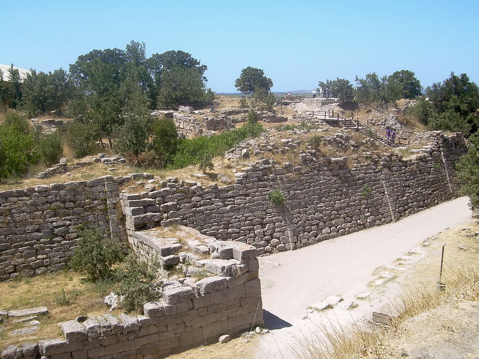
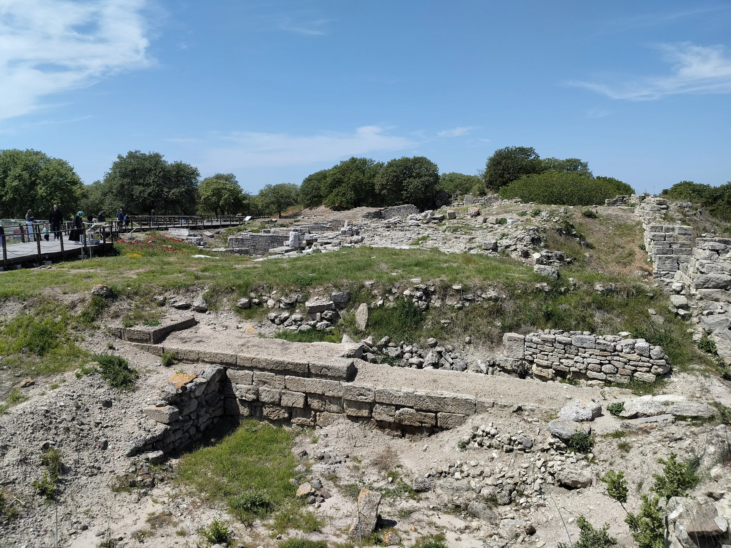
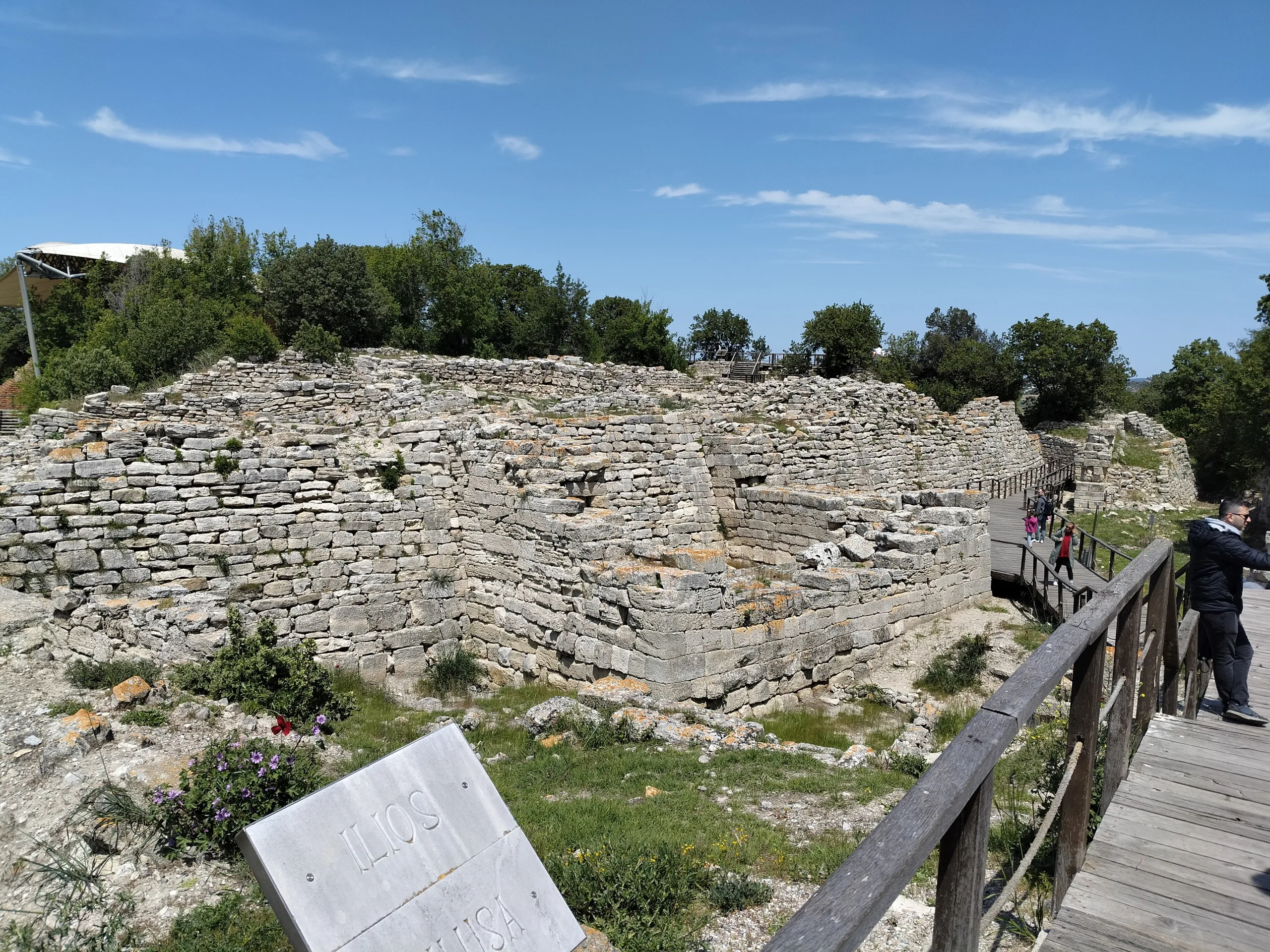
Excavation has exposed 23 stretches of citadel wall, eleven gates, a flagged ramp and the lower parts of five defensive towers. Most date to Troy II and Troy VI, while a piece of the oldest wall (Troy I) still stands beside the southern gate of the first fortification. The best-preserved section is the east wall: dressed limestone blocks, leaning slightly inward, originally 6 m high and more than 4 m thick.
The Troy VI north-east bastion was 18 m wide and 8 m deep. Of its original 9 m height, 7 m remain; the mud-brick upper part has vanished, and a well 10 m deep lies inside. A long paved ramp on the west side led to one of the early gates, though the settlement's main entrance was farther east.
Troy II megara and the Schliemann Trench
The big residential complex of Troy II centres on five parallel long halls with porches in front, known as megara. The largest measures 29 by 14 m and is seen as a precursor of the Greek temple; as a group they probably worked as a kind of palace. Remains of these rectangular long houses show at the bottom of the Schliemann Trench, the deep cut Schliemann made in the 19th century while looking for Priam's citadel. Lower walls were stone, upper parts most likely mud-brick, and the flat roofs rested on timber beams covered with clay-plastered brushwood.
The Troy VI palace-type building
The most impressive structure left from Troy VI probably served as a palace too. Its lower walls are very carefully dressed dry-stone masonry, the inside was split into a handful of rooms, and stair remains show there was at least one more storey.
Sanctuary, odeion and bouleuterion
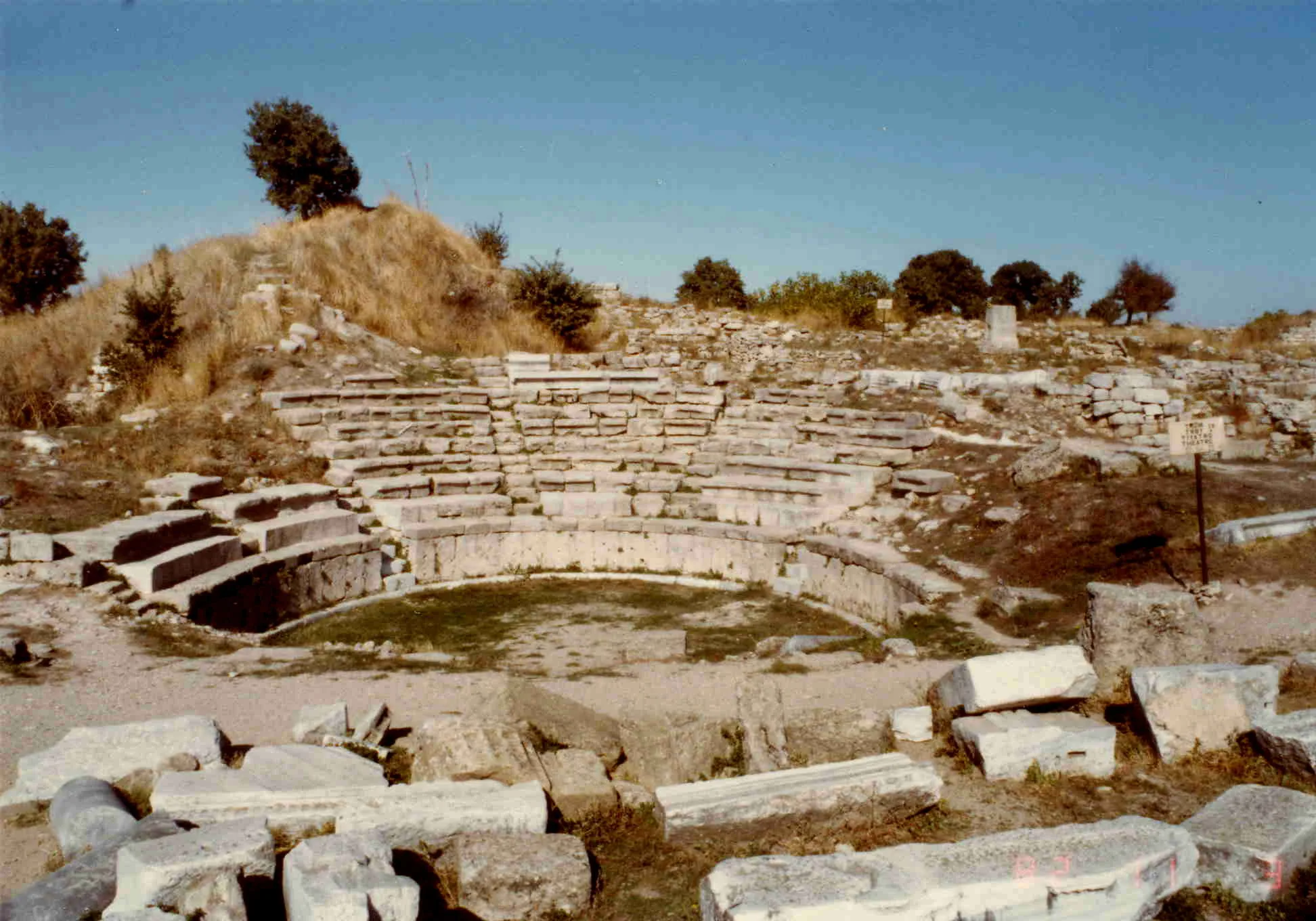
The sanctuary complex of the Greek and Roman city probably began in the 8th century BC; Alexander the Great and later Augustus enlarged it. It has altars, wells, sacrificial pits and a viewing platform, an arrangement compared with the Sanctuary of Demeter at Pergamon. Roman town planning shows in two large public buildings at the edge of the agora: the odeion, a small concert and meeting hall with a horseshoe plan and limestone seating, and next to it the smaller but similarly shaped bouleuterion, the town council chamber.
Excavations
Scholars took notice of the mound in 1793, identified it as Ilion in 1810 and as Troy in 1820. Heinrich Schliemann arrived in 1868 and started digging in 1870-71. After seven major campaigns he died in 1890, and his assistant Wilhelm Dörpfeld finished the work in 1893-94. The gold hoard Schliemann found in 1873 is wrongly called Priam's Treasure; it comes not from Troy VIIA but from the far older Troy II.
Carl W. Blegen ran a much more systematic dig for the University of Cincinnati from 1932 to 1938, and the tangled sequence of layers was sorted out in that period. An international team from the University of Tübingen began work under Manfred Korfmann in 1988 and also took on extensive conservation. Research south of the mound showed that a lower town existed in every prehistoric phase and grew to about 30 ha by the Late Bronze Age. Excavation is still going on.
Myth and ancient authors
Troy's fame rests on the Iliad. UNESCO bases criterion (vi) on the influence that Homer's Iliad and Virgil's Aeneid have had on Western literature and art for over two thousand years. Hellenistic and Roman rulers shaped the surrounding Troad into a landscape for remembering the Trojan War, for pilgrimage and festivals: mounds rose over the supposed graves of Achilles, Ajax, Hector and Patroclus, and Ilion stood at the centre of the ceremonies.
UNESCO and protection
Troy was inscribed in 1998 under criteria (ii), (iii) and (vi) (reference 849); the property covers 158 ha. Criterion (ii) points to contacts between Anatolia, the Aegean and the Balkans, (iii) to testimony of civilisations spanning four thousand years, and (vi) to the city's effect on literature and art. Authenticity is rated high, and the few reconstructions follow the principle of anastylosis, meaning original fragments are put back in place.
A Superior Council decision of 13 May 1968 (No. 3925) made the area a historic site, and a Council of Ministers decree of 1996 gave it, with its surroundings, National Historical Park status. Responsibility rests with the national directorate for cultural assets and museums, assisted regionally by the Çanakkale Museum and the governorship. A conservation plan for the wider landscape, drawn up by the National Parks Department in 1971 and revised in 2010, is the main management document.
Visiting
Hours, ticket prices and Müzekart conditions can change, so check the official Troy Archaeological Site page for current details. The Troy Museum, Alexandria Troas, Assos and the Temple of Apollo Smintheus are all within reach.
Gallery
Frequently asked questions
Where is Troy?
How many layers does Troy have?
When did Troy become a World Heritage Site?
Who excavated Troy?
Which layer is the city of the Trojan War?
What can visitors see at Troy?
Sources (14)
- Troya Örenyeri / The Archaeological Site of Troy (TR ve EN sayfaları) — T.C. Kültür ve Turizm Bakanlığı, Müzeler ve Ören Yerleri
- Archaeological Site of Troy — UNESCO World Heritage List 849 — UNESCO World Heritage Centre
- ICOMOS Advisory Body Evaluation — Troy (849) — ICOMOS
- Nomination file — Troy (849) — T.C. Devlet Taraf (aday dosyası), UNESCO WHC
- Ilium/Troia (Pleiades place 550595) — Pleiades
Photo credits
- Photo: Ertly, CC BY 4.0 — Wikimedia Commons (resized)
- Photo: Kadı, CC BY-SA 4.0 — Wikimedia Commons (resized)
- Photo: Brian Harrington Spier, CC BY-SA 2.0 — Wikimedia Commons (resized)
- Photo: CherryX, CC BY-SA 3.0 — Wikimedia Commons (resized)
- Photo: Marsupium, CC BY 4.0 — Wikimedia Commons (resized)
- Photo: Carole Raddato from FRANKFURT, Germany, CC BY-SA 2.0 — Wikimedia Commons (resized)
- Photo: Barrowbob, CC BY-SA 4.0 — Wikimedia Commons (resized)
- Photo: Barrowbob, CC BY-SA 4.0 — Wikimedia Commons (resized)
- Photo: Paul des Granges, Public domain — Wikimedia Commons (resized)