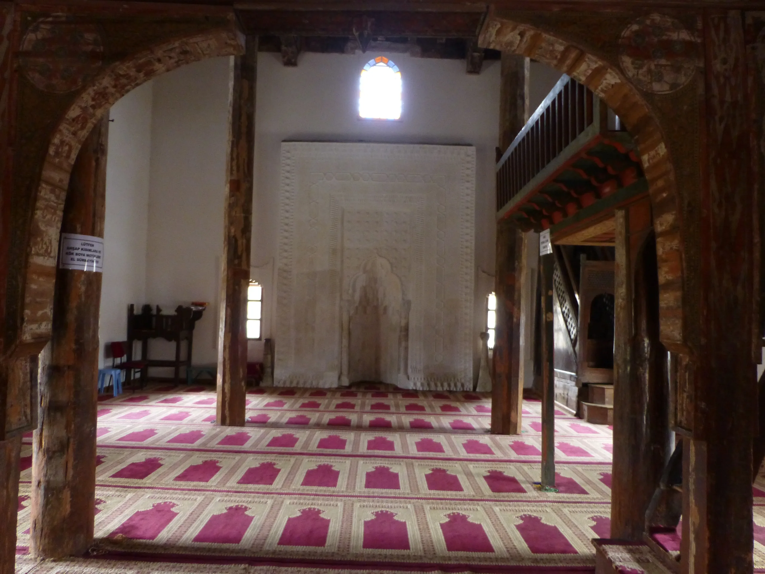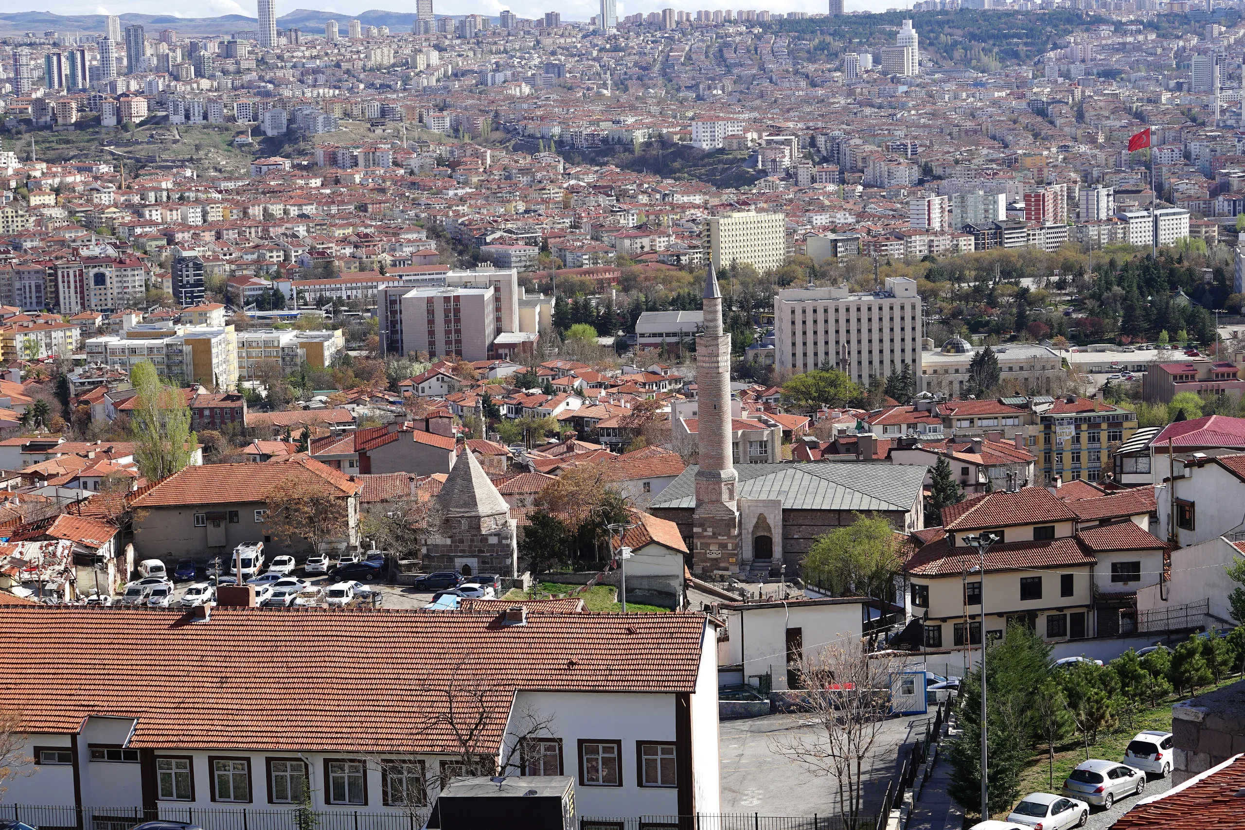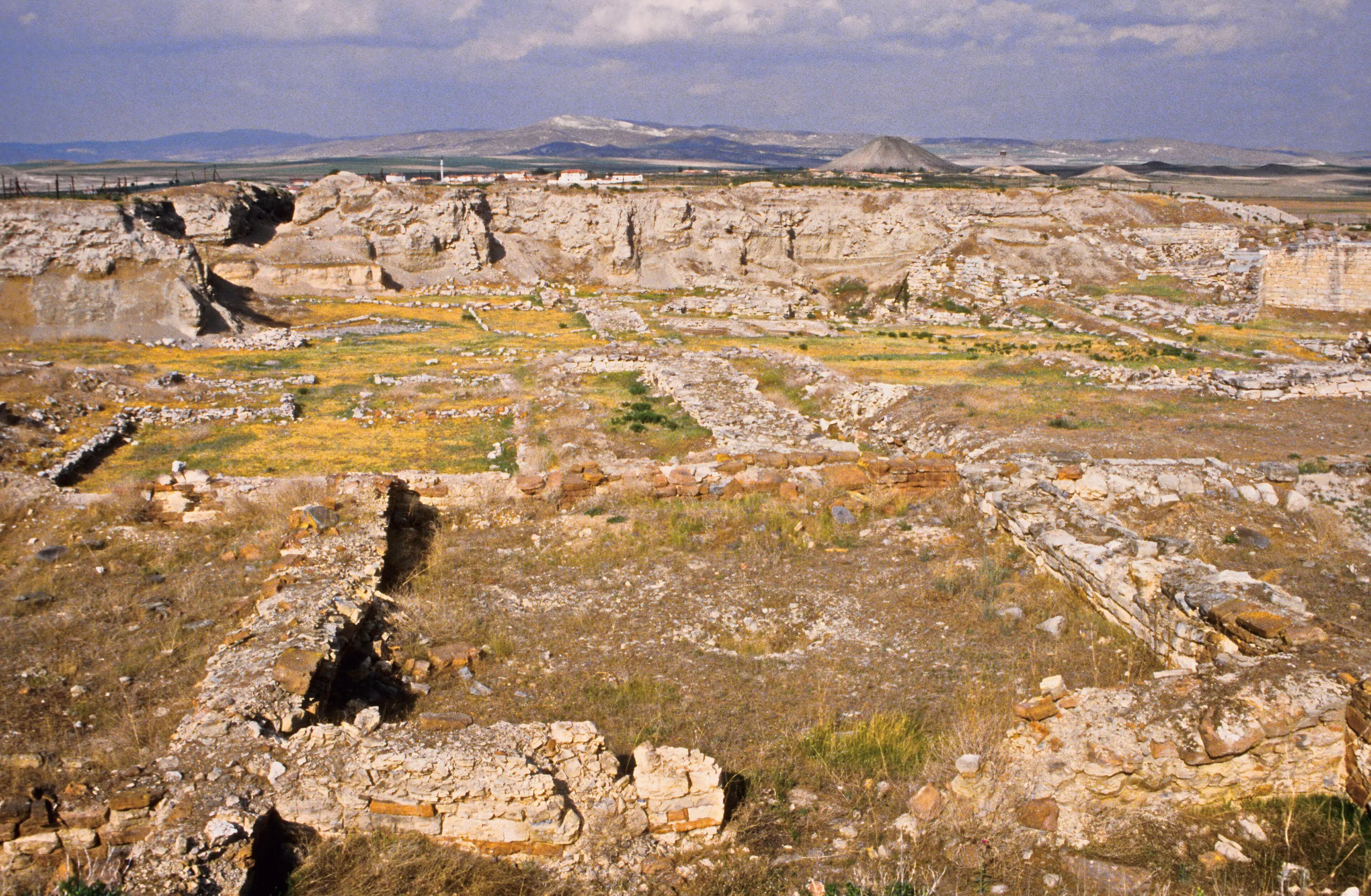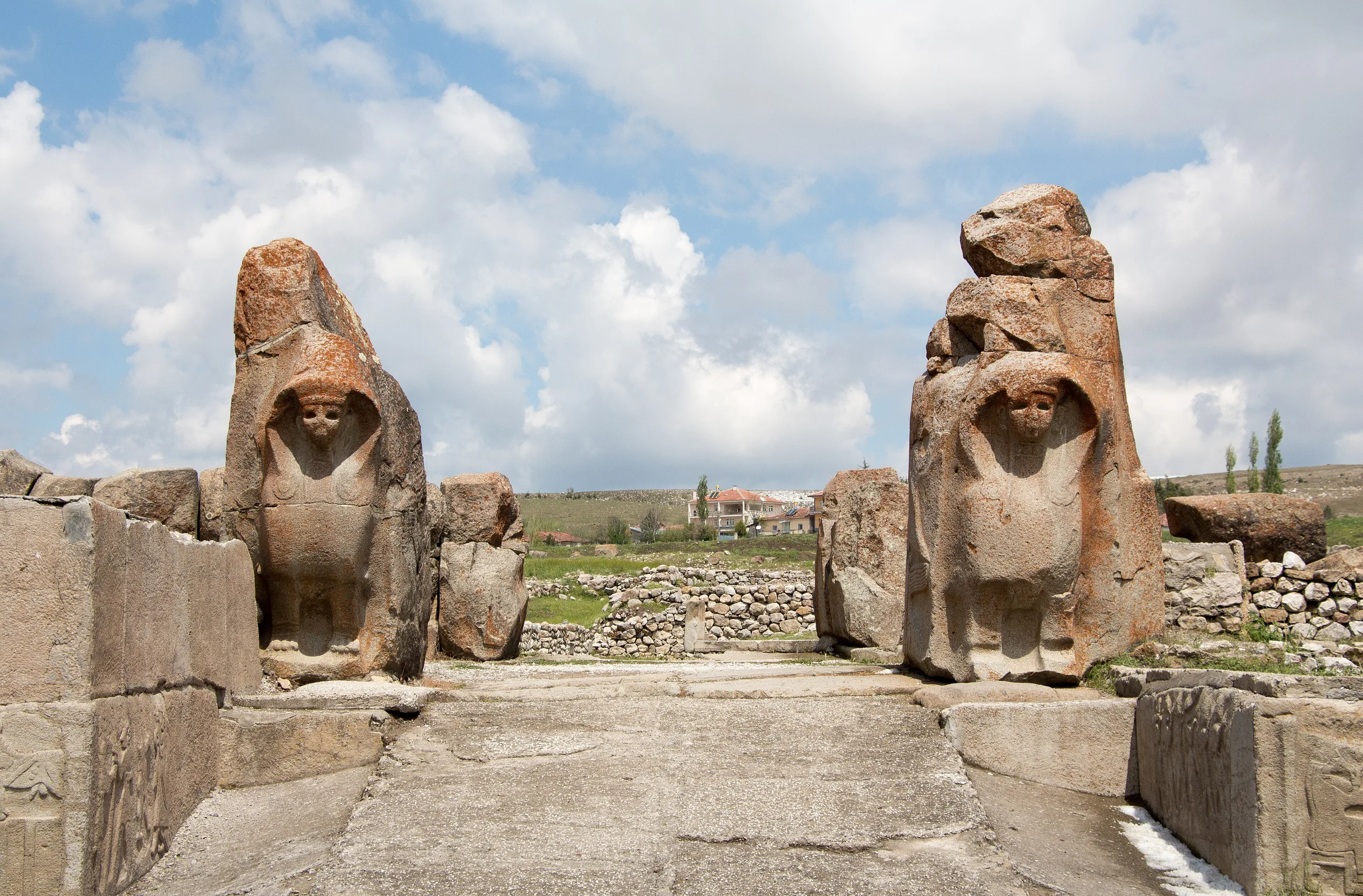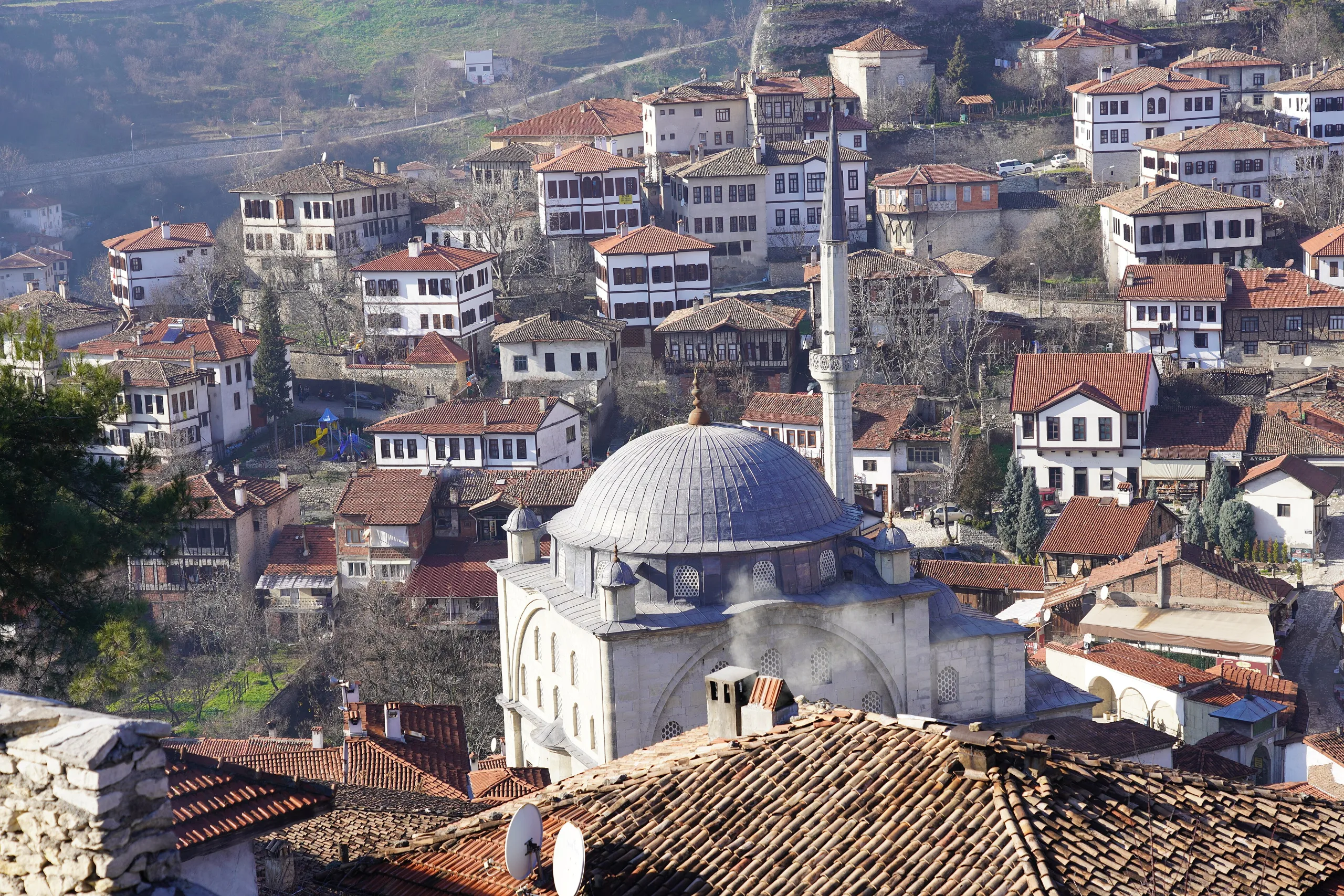
Safranbolu, a caravan-trade town in Karabük, keeps its Ottoman street pattern and timber-and-stone houses in the districts of Çukur, Kıranköy and Bağlar.
City of Safranbolu is a place (Historic town) in Turkey, Karabuk. Main periods: Ottoman Period. It was inscribed on the UNESCO World Heritage List in 1994.
Safranbolu, in Karabük province, is a typical Ottoman town that prospered on the caravan trade. UNESCO regards its buildings and streets as characteristic of that tradition. The historic centre consists of three districts named Çukur, Kıranköy and Bağlar; the street layout and overall townscape recall pre-industrial Türkiye. The town was inscribed in 1994, and the property covers 193 hectares.
History
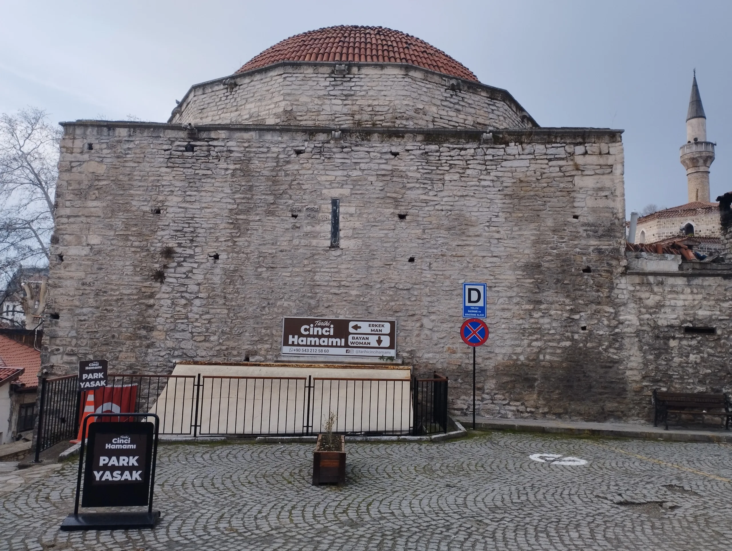
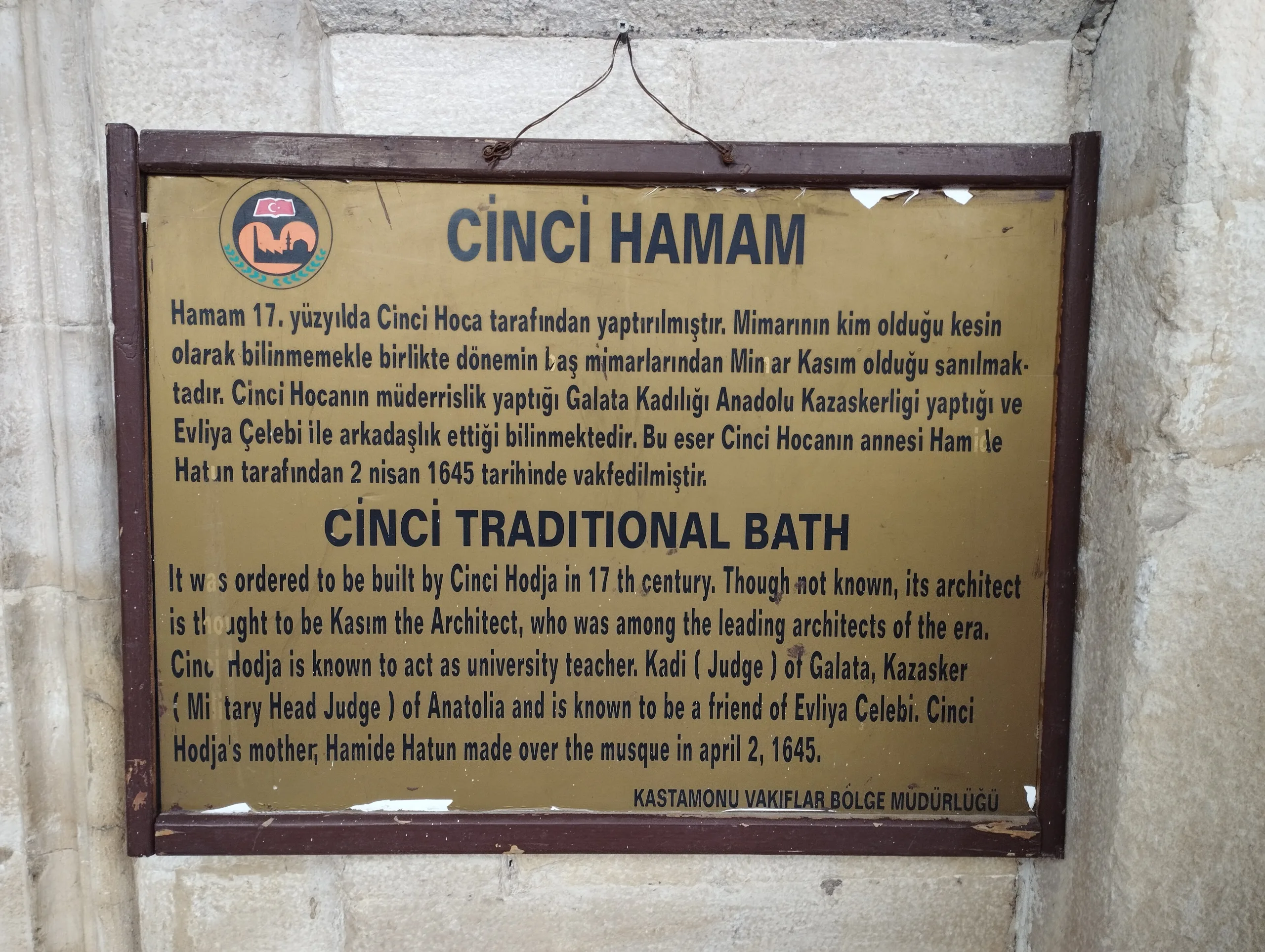
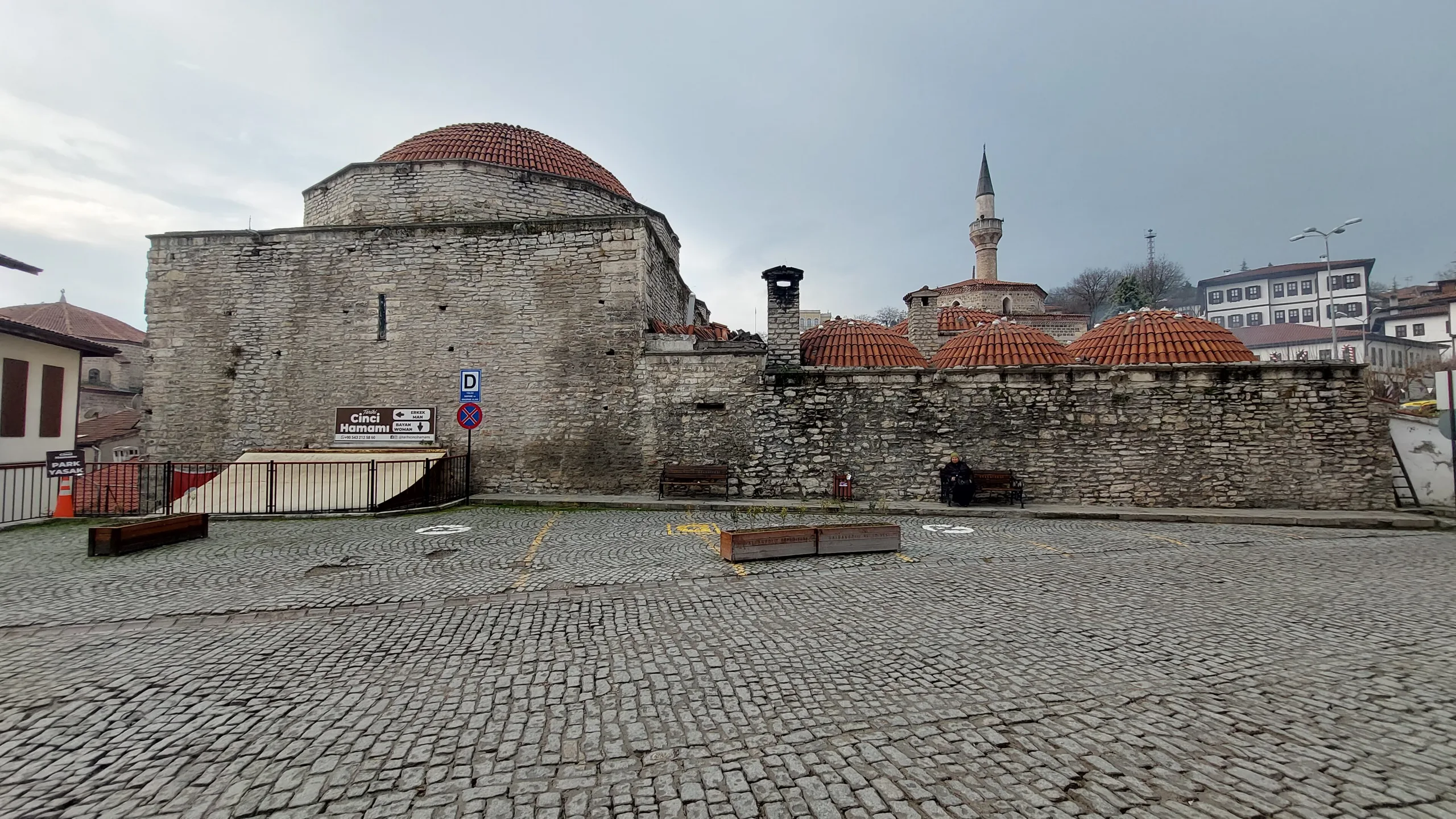
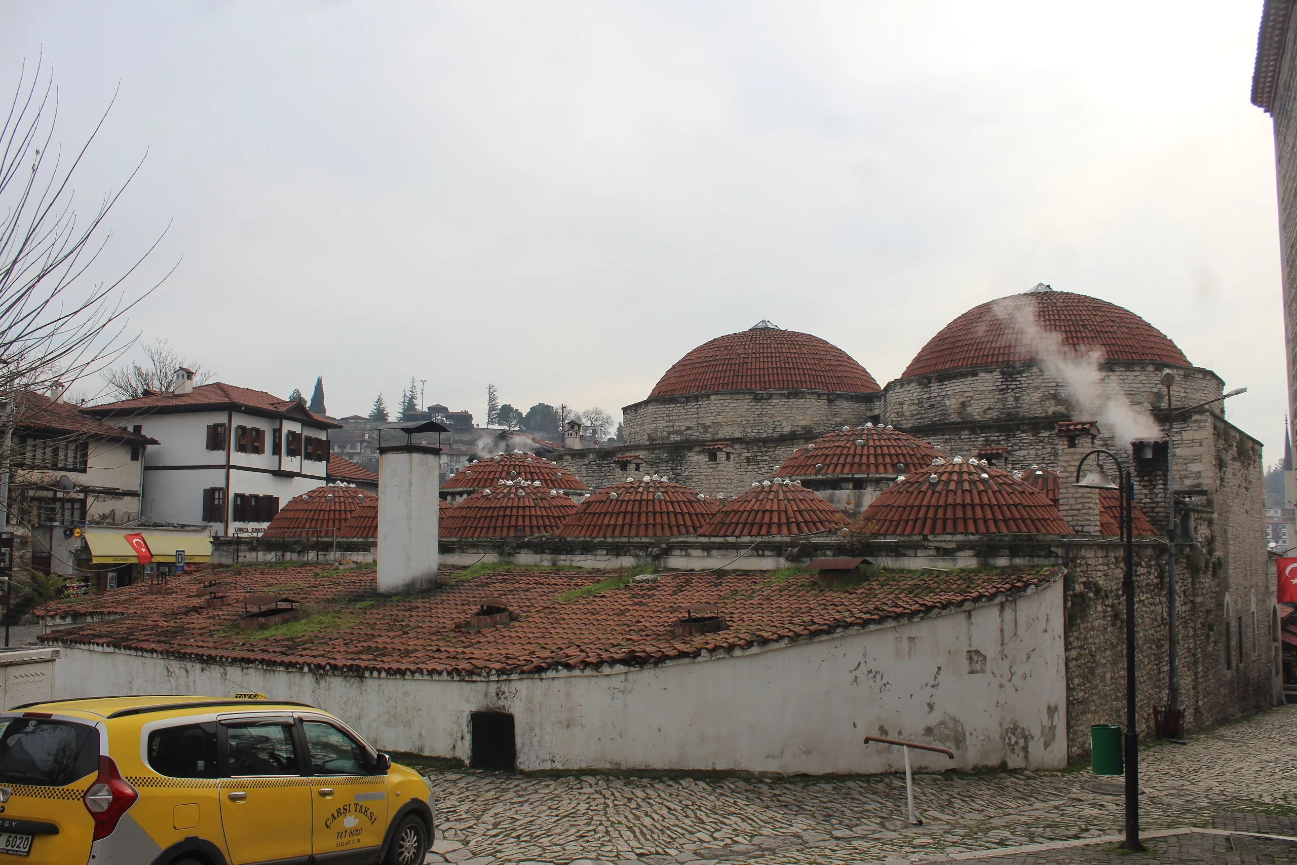
ICOMOS says people have lived in the area since prehistory, and rock-cut tombs and a Roman temple lie nearby. Today's town began as a commercial settlement once the Turks took the region in the eleventh century, and in the thirteenth it served as a major halt for caravans crossing Anatolia from east to west. A mosque, a bathhouse and a madrasa of Süleyman Pasha (locally the Eski Cami, Eski Hamam and Süleyman Paşa Medresesi) are all dated 1322. Caravan trade reached its height in the seventeenth century, when the market was enlarged to serve travellers. The Cinci Inn (1640-48, with sixty guest rooms), the Köprülü mosque of 1661 and the İzzet Pasha mosque of 1796 survive from that age.
The nineteenth century brought heavy investment in private houses and a sharp growth in the town's size, and wealthier residents gave eighteen fountains and other public buildings. At the start of the twentieth century a changed trading pattern and the arrival of the railway ended the long prosperity, and hardship lasted until the Karabük steelworks was built. Safranbolu residents who took jobs there kept their old houses, which brought the town some limited economic stability.
The districts
Çukur
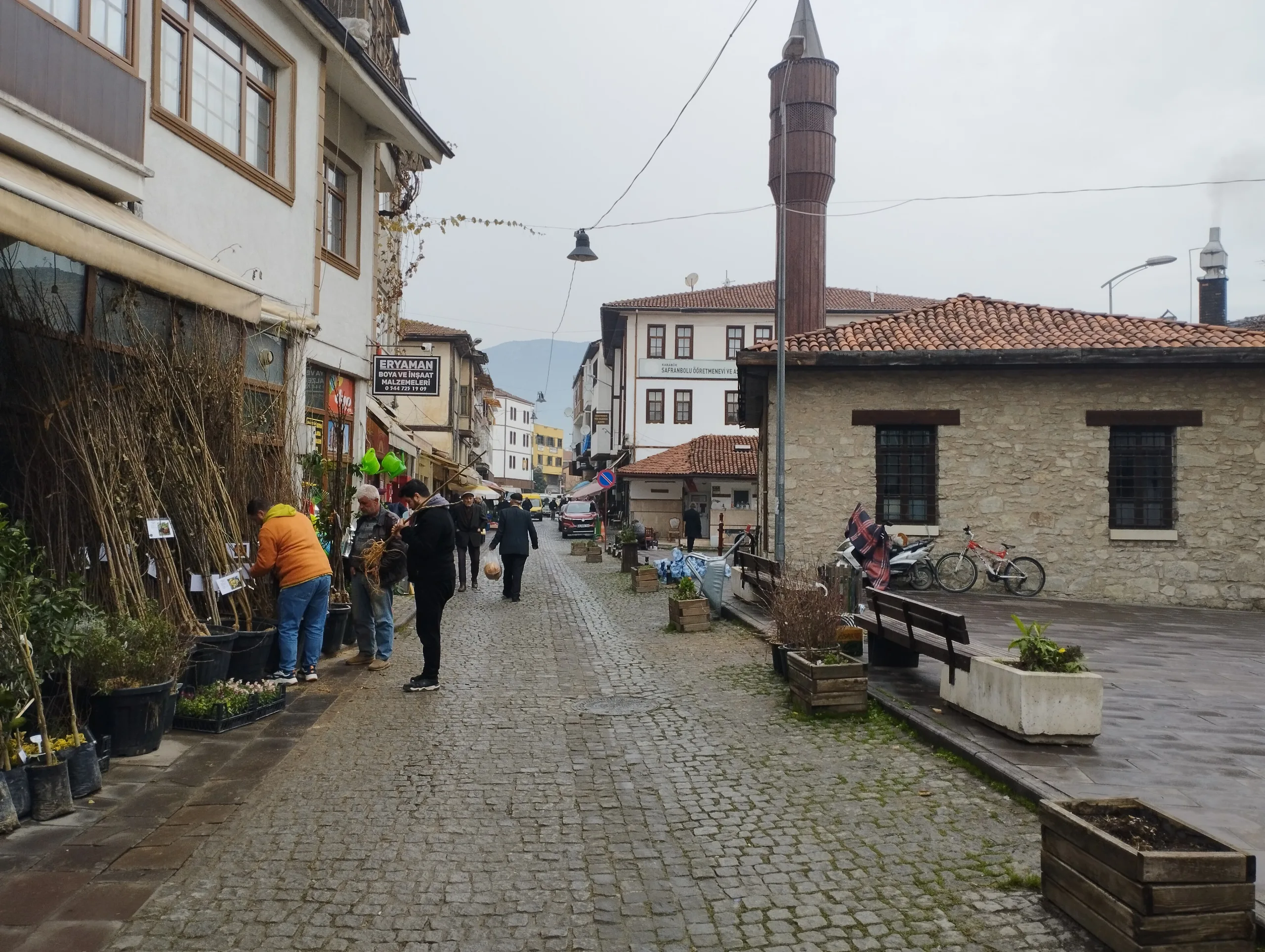
The name, meaning hollow, refers to its position in the lower part of the town, in a triangle between two rivers. At its centre is the market, surrounded by the homes and workshops of leatherworkers, blacksmiths, saddlers, shoemakers and textile workers. ICOMOS explains that the first Turkish settlement lay just south of the citadel but declined in the fifteenth and sixteenth centuries, when Çukur developed to the southeast. UNESCO notes that the houses in Çukur are timber.
Kıranköy
This was formerly a non-Muslim district, where craftsmen and tradesmen lived above their shops and the houses are built of stone. UNESCO observes that separating Muslim and non-Muslim quarters let each community settle by its own customs. ICOMOS adds that the town spread westward to Kıranköy in the eighteenth century.
Bağlar
Meaning the vineyards, Bağlar occupies the northwest slope facing south. Single houses sit in large gardens, and the district served as the town's summer resort. ICOMOS ties its development to the prosperity of the eighteenth century.
Streets and houses
The lanes of Çukur and Kıranköy are tight and curving, paved in stone that tilts inward to drain rainwater. Older houses are half-timbered, with the gaps filled by various materials, and no windows face the street, which makes the stone walls read as continuations of the garden walls. Principal rooms upstairs usually include built-in cupboards, fireplaces, shelves and benches, and many ceilings are richly carved and painted. Rooms open onto halls called sofa, a vital part of the house.
The castle and Safranbolu Museum
The Ministry's museum page places the Safranbolu Museum on the hill of the old castle, in the three-storey stone Old Government House. An inscription above the door shows that it was put up in 1904 on the initiative of Enis Pasha, then governor of Kastamonu, together with the local kaymakam Mir Ahmet Bey, using money from townspeople. The building is made entirely of cut stone, with 800 square metres of enclosed floor and a cellar. It served as the government house until a great fire in 1976; the Ministry began restoring it in 2000, finished in 2006, and the building has operated as a museum of urban history since 8 February 2007.
The castle area also holds a clock tower of 1797 built by İzzet Mehmet Pasha, a Safranbolu native who served as grand vizier of Selim III, the Munitions Building of 1890, the Old Prison of 1906 and the Castle Mosque of 1890. Inside the museum are displays on the history and maps of Safranbolu and the building, ethnography and photograph galleries, and coins from Roman, Byzantine, Ottoman and Republican times; on the ground floor, workplaces of a pharmacist, sweet-maker, shoemaker, saddler, blacksmith, coppersmith and other tradesmen are recreated.
World Heritage and protection
Inscribed in 1994 under three criteria, Safranbolu is described by UNESCO in these terms: criterion (ii) for providing a model in civic and house building thanks to the caravan trade, criterion (iv) for preserving its original form as a characteristic caravan town, and criterion (v) for the interplay of topography and historic settlement. The historic quarters were declared a conservation area in 1976 by the High Council of Immovable Antiquities, and a decree of 1985 protected 810 houses. Restoration of individual buildings started in 1982. A buffer zone defined during preparation of the conservation plan was approved in 2008. The Municipality of Safranbolu manages the historic areas, and the town has an architecture faculty and a vocational school for restoration.
UNESCO writes that tourism growth has led to houses being turned into hotels and restaurants, which helped revive empty buildings but must be watched so that form and design stay authentic. Souvenir shops in the market, the shrinking number of experienced local masters and the decay of traditional houses are listed as risks. ICOMOS remarked in 1994 that, by the dossier's own admission, much of the town was poorly preserved, which it blamed on houses ill suited to modern living, low incomes and the high cost of traditional materials.
Visiting
Safranbolu is a living town, not an archaeological site; the property consists of streets, a market and many separate buildings. The Ministry's official museum page gives current details for the museum, and no hours or conditions are repeated here.
Gallery
Frequently asked questions
When was Safranbolu inscribed?
Which districts make up the historic town?
Why is Safranbolu important?
What are the oldest buildings?
How were Safranbolu houses built?
Where is the Safranbolu Museum?
What happened after the caravan trade ended?
What threatens the town's authenticity?
Sources (13)
- City of Safranbolu (ref 614) – UNESCO World Heritage listing page — UNESCO World Heritage Centre
- ICOMOS Advisory Body Evaluation No 614, Safranbolu (October 1994) — ICOMOS / UNESCO World Heritage Centre
- Karabük Safranbolu Müzesi (Türkçe ve İngilizce sayfalar) — T.C. Kültür ve Turizm Bakanlığı, Müzeler ve Ören Yerleri (muze.gov.tr)
- City of Safranbolu (Wikidata Q64705254) — Wikidata
Photo credits
- Photo: Ray Swi-hymn from Sijhih-Taipei, Taiwan, CC BY-SA 2.0 — Wikimedia Commons (resized)
- Photo: Nevit Dilmen ( talk ), CC BY-SA 3.0 — Wikimedia Commons (resized)
- Photo: İmmortalance, CC BY-SA 4.0 — Wikimedia Commons (resized)
- Photo: Janabaevazizbek, CC BY-SA 4.0 — Wikimedia Commons (resized)
- Photo: Janabaevazizbek, CC BY-SA 4.0 — Wikimedia Commons (resized)
- Photo: Janabaevazizbek, CC BY-SA 4.0 — Wikimedia Commons (resized)
- Photo: Janabaevazizbek, CC BY-SA 4.0 — Wikimedia Commons (resized)
- Photo: İmmortalance, CC BY-SA 4.0 — Wikimedia Commons (resized)
- Photo: Gökhan Can, CC BY-SA 4.0 — Wikimedia Commons (resized)