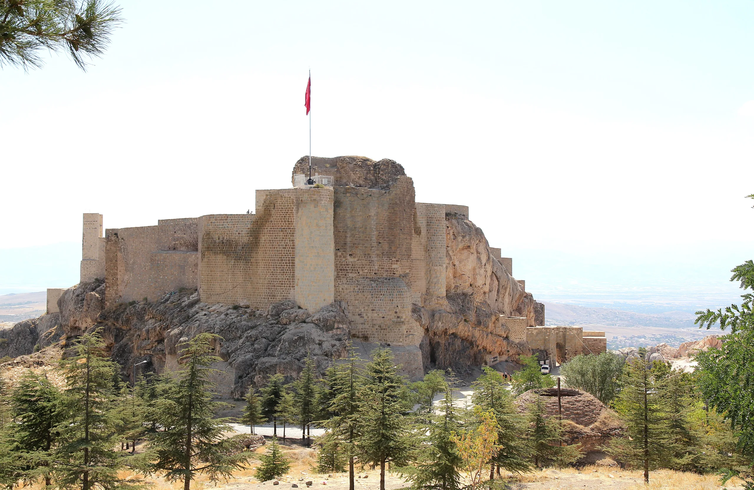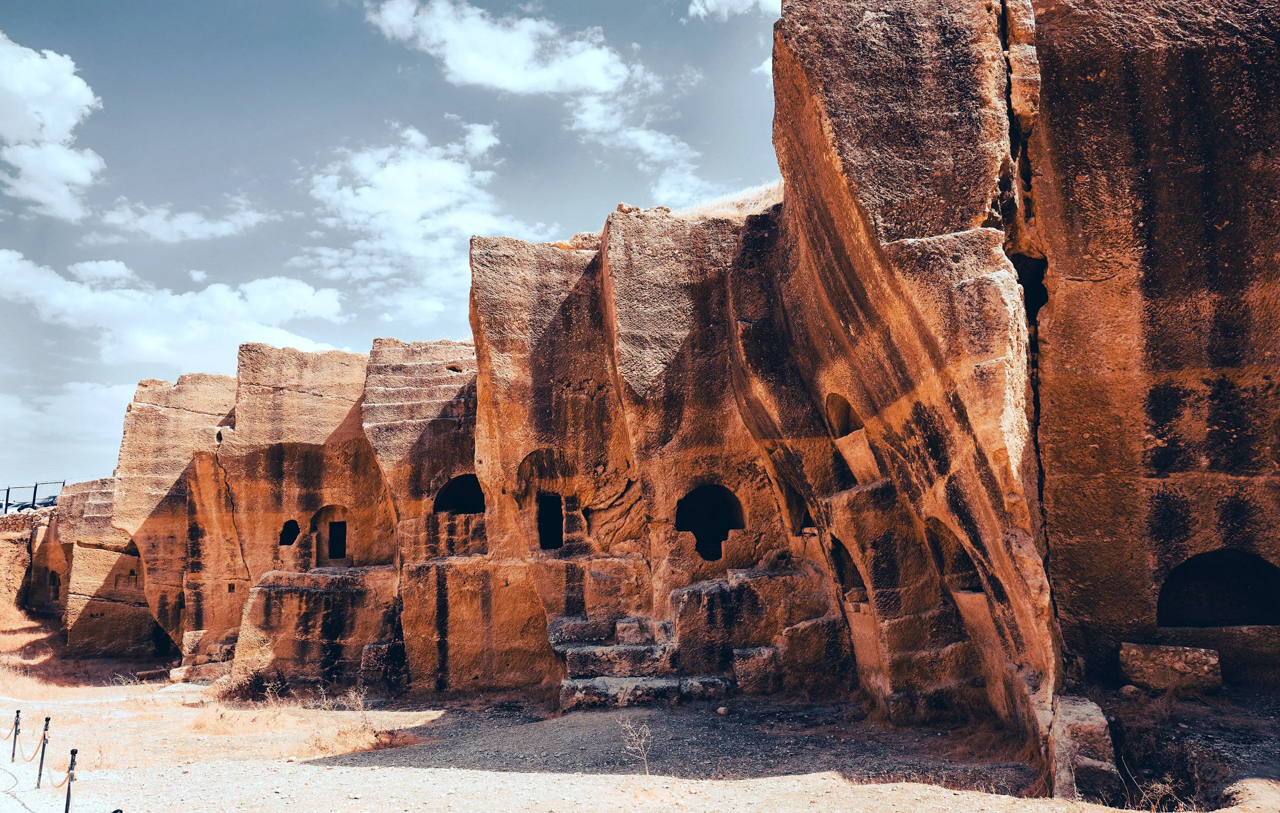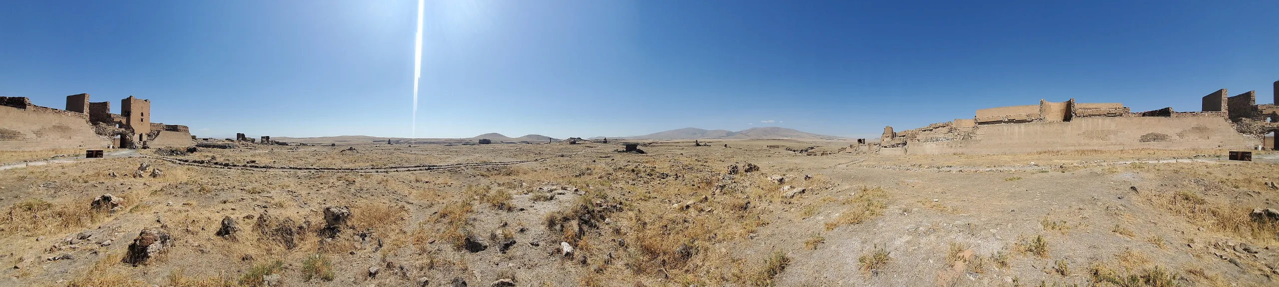
Ani near Kars is a medieval Bagratid capital with Armenian, Seljuk and Georgian monuments on the Armenian border; a World Heritage Site since 2016.
Ani Archaeological Site is an ancient city located in Turkey, Kars. Main periods: Byzantine Period, Seljuk Period, Bronze Age, Iron Age. It was inscribed on the UNESCO World Heritage List in 2016.
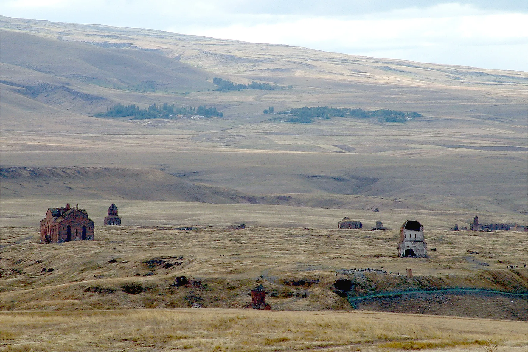
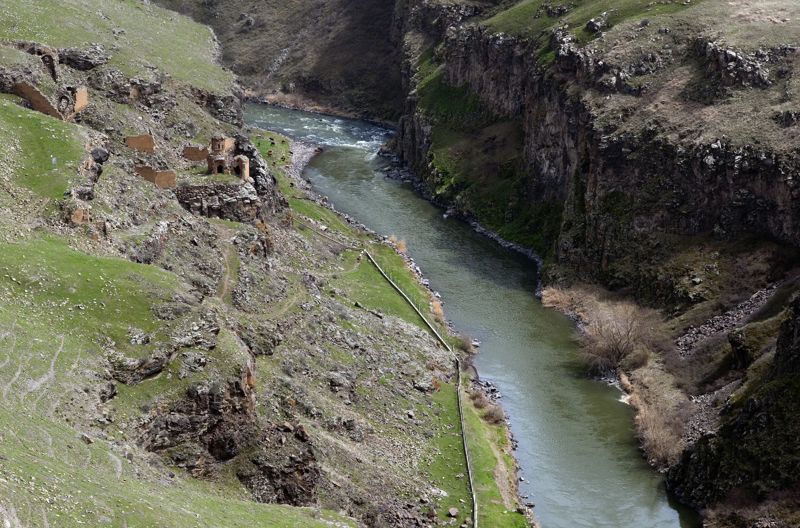
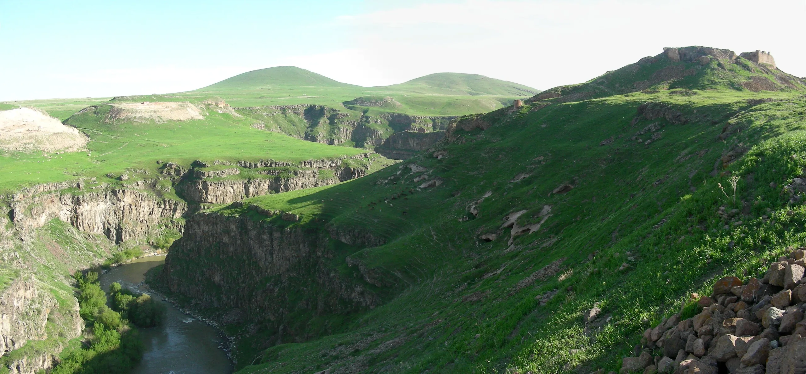
Ani is an abandoned medieval city east of Kars, beside the village of Ocaklı, on a plateau overlooking the Arpaçay gorge that forms the border between Turkey and Armenia. It shone in the 10th and 11th centuries as capital of the Armenian Bagratid kingdom, later passed under Byzantine, Seljuk and Georgian rule, and was inscribed as a World Heritage Site in 2016.
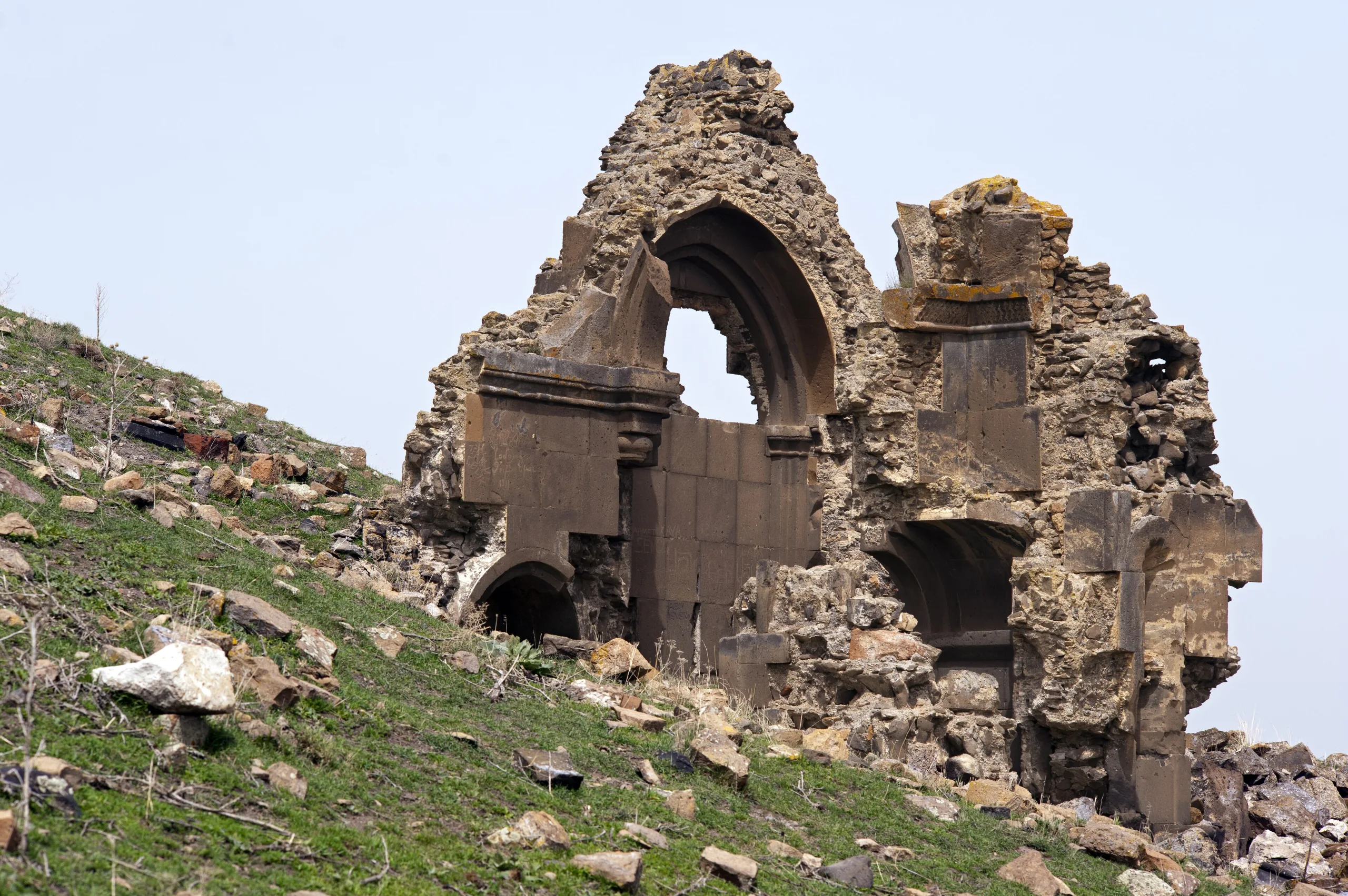
The city is known for its mixed heritage: Zoroastrian, Christian and Muslim buildings, tuff-stone churches, mosques, palace and bath ruins and rock-cut spaces stand side by side. Together they make Ani an open-air archive of medieval Caucasian and Anatolian architecture.
Setting
The ministry places Ani 44 km east of Kars, while UNESCO and ICOMOS say 42 km. It occupies a secluded triangular plateau bounded by the Bostanlar Creek, Ocaklı village, the Mimi Creek and the Arpaçay, which forms the border. The ministry adds that the site commands the Arpaçay and Alacasu valleys and was the first stopover on the Silk Road in Anatolia. UNESCO gives the property as 250.7 hectares with a 432.45-hectare buffer zone, whereas the ministry gives the city's area as 78 hectares. The coordinates on this page come from Pleiades.
History
The ministry says the earliest history of Ani is thought to reach back to about 5000 BC and that the Urartians first settled on the inner fortress at the highest point. ICOMOS instead reports archaeological evidence of occupation as far back as roughly 1200-1100 BC, in the early Iron Age, with permanent settlement beginning in the 4th century AD when the Kamsarakan dynasty built the citadel. The nomination dossier dates the Palace Church to 622 on the strength of an inscription.
According to ICOMOS, the Bagratid king Ashot III made Ani his capital in 961, and the settlement grew from a modest village into a real city while Silk Road trade shifted south. Smbat II (about 977-988) added double ramparts about 5 km long and a number of churches; under his brother Gagik (989-1020) Ani had its golden age, and the Catholicos moved there in 992. The city later became known as the city of 1001 churches.
Bagratid rule ended when the Byzantines annexed the city in 1045. The Seljuks conquered the area in 1064 and by 1072 had installed Shaddadid emirs of Kurdish origin as vassals. The Shaddadids defended Ani against Georgian incursions until 1199, when the armies of Queen Tamar took it. The city flourished again under a Georgian-Armenian dynasty of princes. From 1239 Mongol, then Ilkhanid, Jalayirid and Kara Koyunlu rule, an earthquake and shifting trade routes led to its decline and abandonment. UNESCO dates the earthquake to 1319 and says the city was all but empty by the 18th century, while ICOMOS and the nomination dossier mention an earthquake in 1605. ICOMOS records Ottoman rule between 1579 and 1918.
Main monuments
The Great Cathedral (Fethiye Mosque)
The ministry calls the cathedral the best-preserved and most important building on the site. It says inscriptions show that King Smbat II laid the foundations in 990 and that his wife Queen Katranide finished it in 1001 after his death, with the architect named as Master Tiridat. ICOMOS writes that construction started in 989 under Smbat II and ended in 1001. The cross-planned building of red tuff combines Byzantine and Armenian elements. Turks converted it into a mosque during the siege of 1064, giving it the name Fethiye, and Georgians returned it to Christian use in 1124. The earthquake of 1319 brought down the dome.
The Ebu'l Manuchehr Mosque
The ministry highlights a three-aisled mosque that the Shaddadid Ebul Şüca Manuçehr built in 1072, its ceiling decorated with Seljuk motifs. The nomination dossier reports instead that researchers date it to 1086 from an inscription recorded in 1847 on the west facade, and that the original function and date of the building need more study. The octagonal minaret beside it has 99 steps.
Gagik (Keçeli) Church and other churches
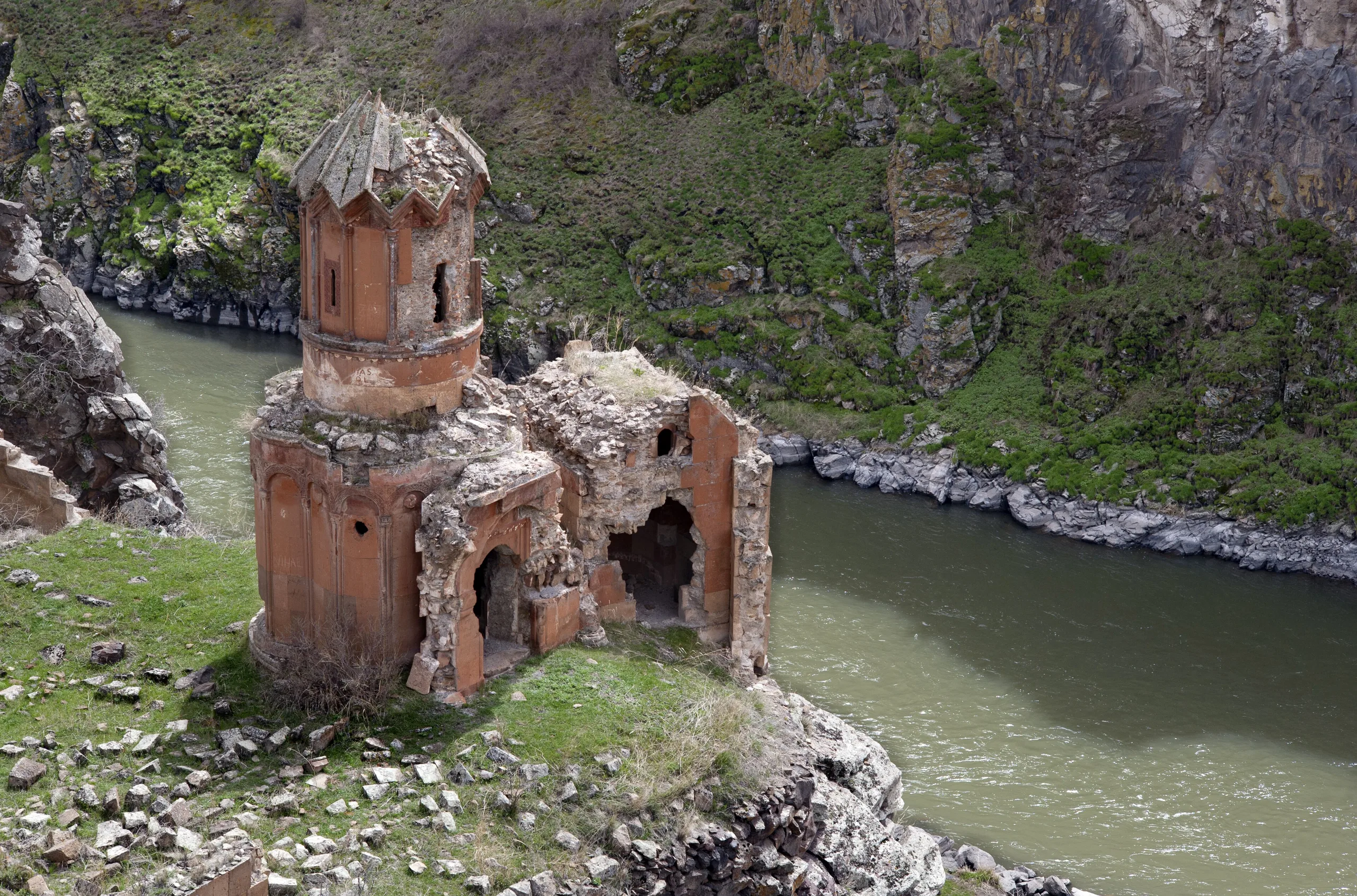
The ministry says the Gagik church of St Prkicth, also called the Keçeli Church, lost half its structure to a lightning strike. It also names the Abughamrents (Polatoğlu) Church, the Tigran Honents Church, the Maiden's Church, the Nuns' Monastery and the Rock Church. ICOMOS mentions a church of St Gregory built in 1215 with the backing of the merchant Tigran Honents, whereas the nomination dossier says the Tigran Honents Church was considered to predate 1215.
The Fire Temple (Ategede)
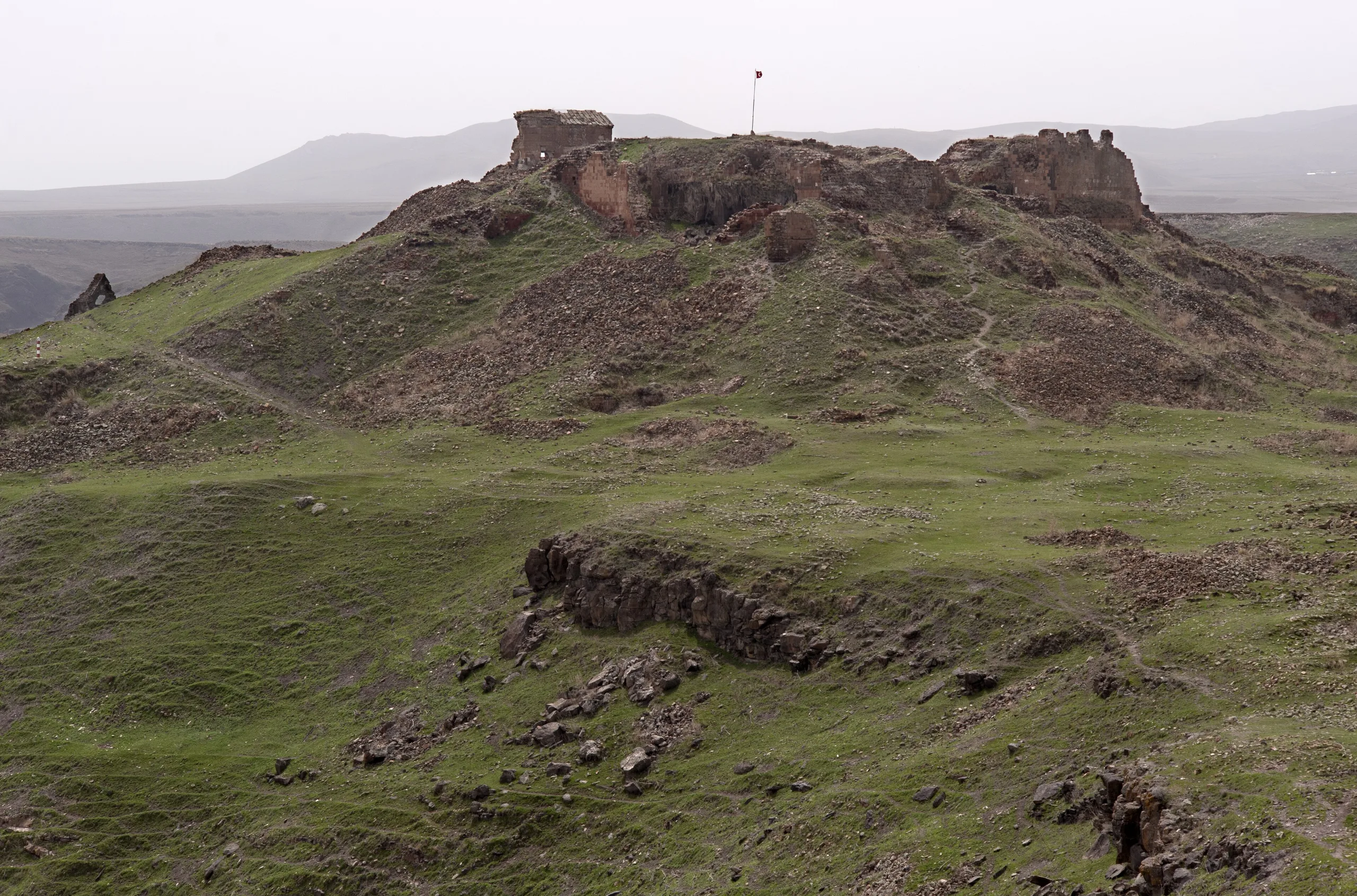
The ministry notes that the temple stands out because it belongs to the Sasanians who ruled the region. ICOMOS and the nomination dossier describe a basalt building thought to be a Zoroastrian temple of the 1st to 4th centuries AD, likely Ani's earliest surviving building and Anatolia's first Zoroastrian fire temple.
Walls, gates and the Emir Ebu'l Muammeran complex
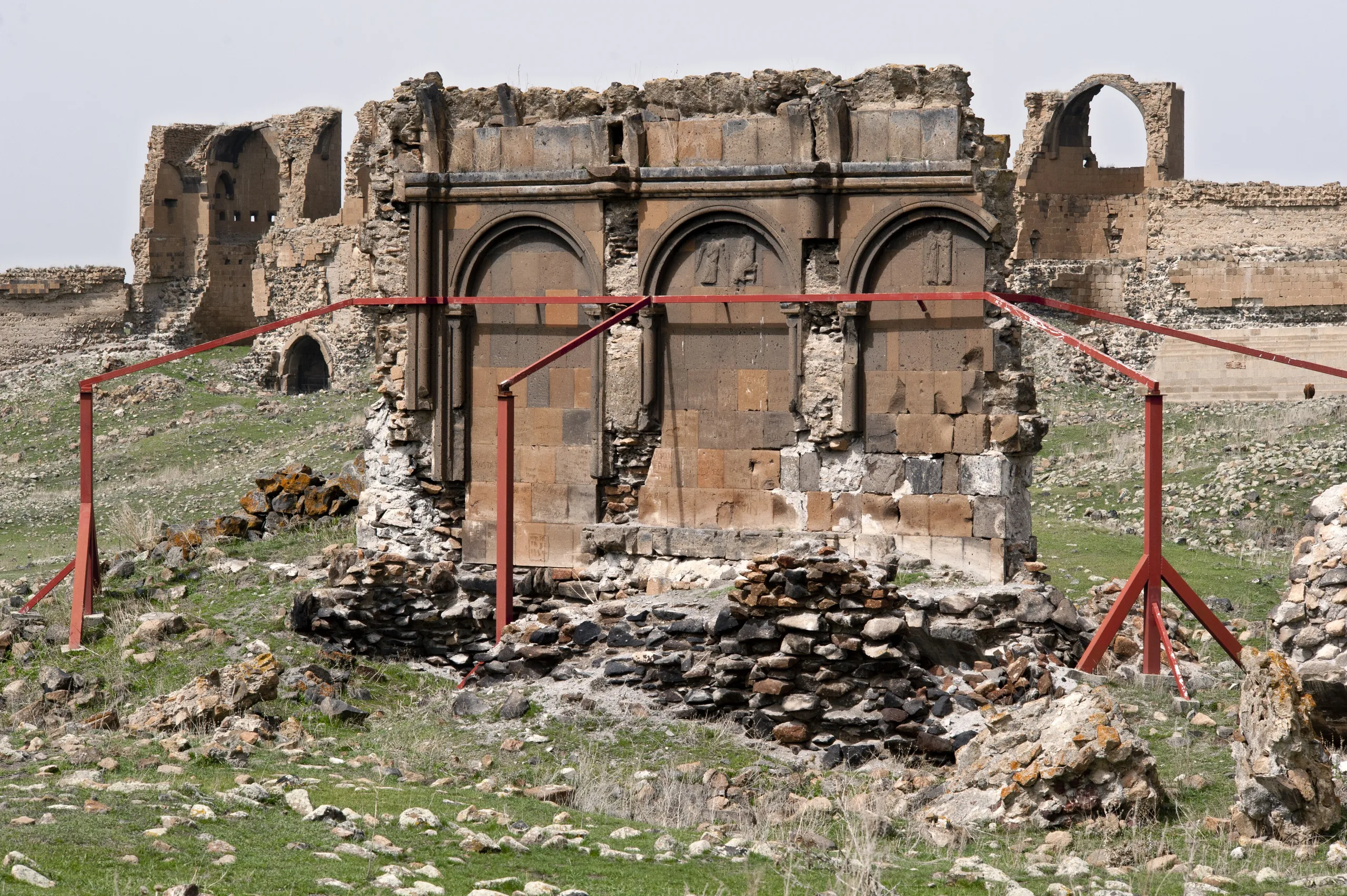
The ministry gives the walls a length of 4,500 m and a height of about 8 m and speaks of seven entrances, among them the Middle (Lion) Gate with its lion relief. ICOMOS instead says the double ramparts, up to 5 m high in places, date from the time of Smbat II, were strengthened under Gagik, Manuchehr and Muammeran, and had six gates. The Lion Gate is today's visitor entrance. After Sultan Alparslan left the city to the Shaddadids, the Emir Ebu'l Muammeran complex went up between 1164 and 1200; its mosque was demolished in 1917 and only part of the minaret survives. The Silk Road Bridge, estimated to date from the 10th century, has lost its arch and only the abutments remain.
Rock-cut structures
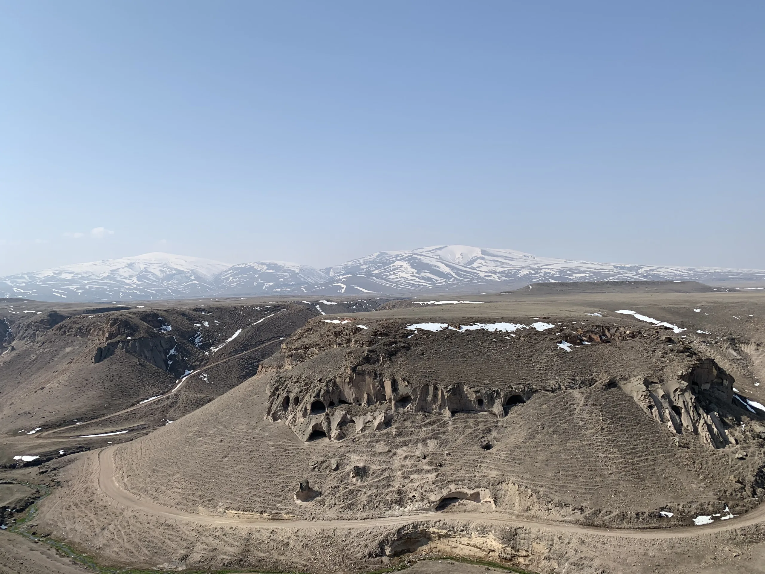
Slopes of the valleys outside the walls hold chapels, burial chambers, warehouses and pigeon houses, water cisterns, wine and oil cellars, stables and a chamber identified as a caravanserai. Some caves around the Bostanlar Creek served as homes until the 1950s.
Excavation and restoration
The nomination dossier says scientific study of the city began with M. Bossert's book of 1861. A team under N. Marr excavated in 1892-1893 and again from 1904 to 1917, and Kemal Balkan dug the baths in 1965. Prof. Beyhan Karamağaralı of Hacettepe University led work from 1989 to 2005, Prof. Yaşar Çoruhlu from 2006 to 2009 and Prof. Fahriye Bayram from 2011. The first restorations were small consolidation works under Marr.
World Heritage and protection
Ani was inscribed in 2016 under criteria (ii), (iii) and (iv). UNESCO regards it as a meeting place of Armenian, Georgian and various Islamic traditions that produced a new architectural language, an exceptional witness to the Armenian Ani school, and a site holding almost every kind of building developed locally across the 7th to 13th centuries. It has been a first-degree archaeological site since 1988; a conservation development plan was approved in 2011, the management plan on 30 March 2015 and a strategic conservation master plan on 3 February 2016.
UNESCO notes that almost every monument faces serious structural problems from earthquakes, human damage or earlier interventions, and that quarrying east of the Arpaçay and misuse of rock-cut caves affect the landscape. ICOMOS also criticised the nomination dossier for sparse treatment of later history and of Ani's Armenian past, noting that supplementary information partly corrected this.
Visiting
For current hours and fees see the ministry's official page. Its Turkish page says the MüzeKart is valid for Turkish citizens and that an audio guide is available. Kars Museum and the Military History Museum of the Caucasus Front are listed nearby.
Gallery
Frequently asked questions
Where is Ani?
When did Ani become a World Heritage Site?
Why is Ani important?
When did Ani become a capital?
What is the Fethiye Mosque?
When was the Ebu'l Manuchehr Mosque built?
Who excavated Ani?
What are the opening hours and ticket prices?
Sources (14)
- Ani Örenyeri / Ani Archaeological Site (TR ve EN sayfalar) — T.C. Kültür ve Turizm Bakanlığı, Müzeler ve Ören Yerleri
- Archaeological Site of Ani - World Heritage List 1518 (özet ve Üstün Evrensel Değer metni) — UNESCO World Heritage Centre
- Advisory Body Evaluation No 1518: Archaeological Site of Ani (ICOMOS, 2016) — ICOMOS / UNESCO
- Ani aday gösterme dosyası (Türkiye, 2015) — T.C. Kültür ve Turizm Bakanlığı / UNESCO WHC
- Ani (Pleiades place 863739) — Pleiades
Photo credits
- Photo: Rəcəb Yaxşı, CC BY-SA 4.0 — Wikimedia Commons (resized)
- Photo: Héctor Ochoa 'Robot8A', CC BY-SA 4.0 — Wikimedia Commons (resized)
- Photo: haigoes, CC BY-SA 3.0 — Wikimedia Commons (resized)
- Photo: Ggia, CC BY-SA 3.0 — Wikimedia Commons (resized)
- Photo: Ggia, CC BY-SA 3.0 — Wikimedia Commons (resized)
- Photo: Ggia, CC BY-SA 3.0 — Wikimedia Commons (resized)
- Photo: User:Ggia, CC BY-SA 3.0 — Wikimedia Commons (resized)
- Photo: User:Ggia, CC BY-SA 3.0 — Wikimedia Commons (resized)
- Photo: Herbert Frank from Wien (Vienna), AT, CC BY 2.0 — Wikimedia Commons (resized)